Enjoy the scenery on these spring and fall hikes in Kananaskis!
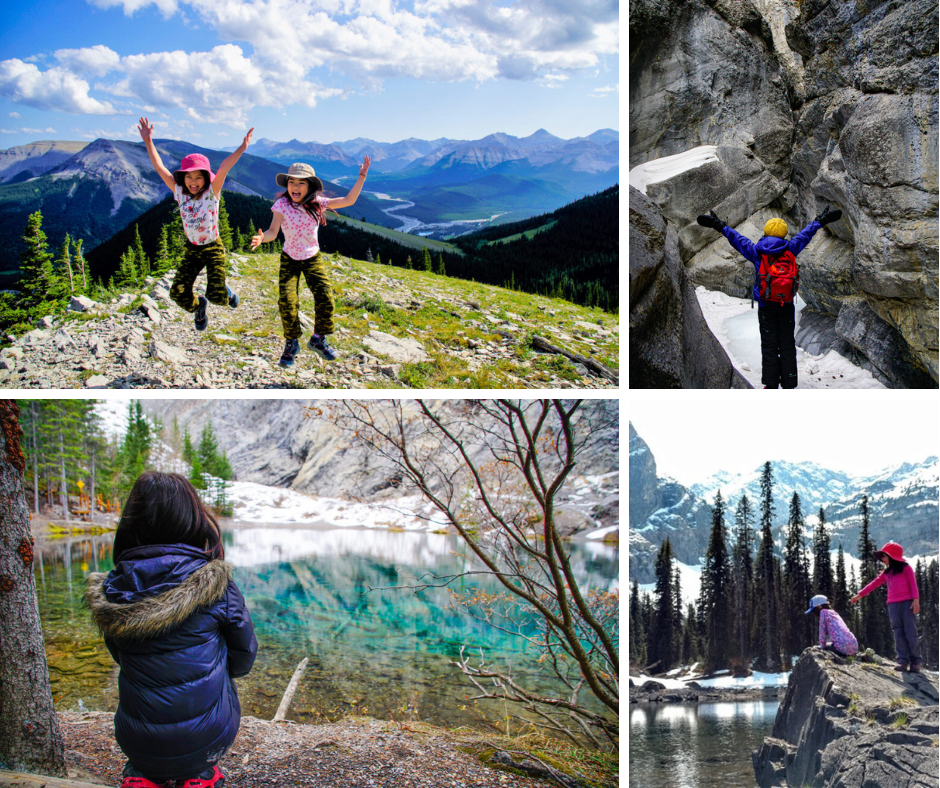
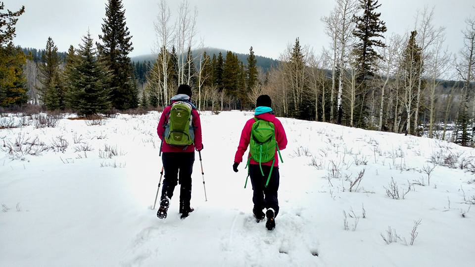
Shoulder season (late fall / spring) is a wonderful time of year to explore Kananaskis. In autumn, as the mercury drops, so do the number of people in the parks. As we don toques, mountain peaks put on pretty caps of snow, and hiking gives way to snowshoeing, ice walks, and cross country skiing. Cool weather can mean icy trails in the morning and slushy, mucky trails in the afternoon, but it’s worth getting out for the glorious sunshine.
When conditions are always changing, it can be tough to pick the right trail, but there are lots of options! Here are our favorite spring and fall hiking trails in Kananaskis, plus tips on what what to wear and what to bring.
Looking for larch hikes? See Fantastic Fall Larch Hikes in Kananaskis.
Table of Contents
Bow Valley Provincial Park & Bow Valley Wildland Provincial Park
Located in the front ranges, Bow Valley Provincial Park (& Bow Valley Wildlands Provincial Park) tends to get less snow and dry out quickly, so it’s a great place to hike year round! Trails to explore in Bow Valley Provincial Park:
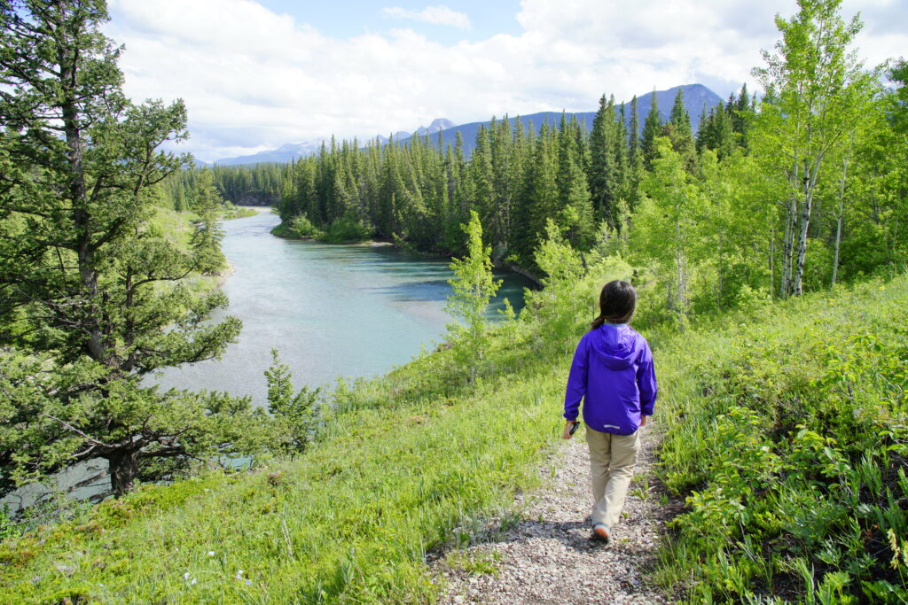
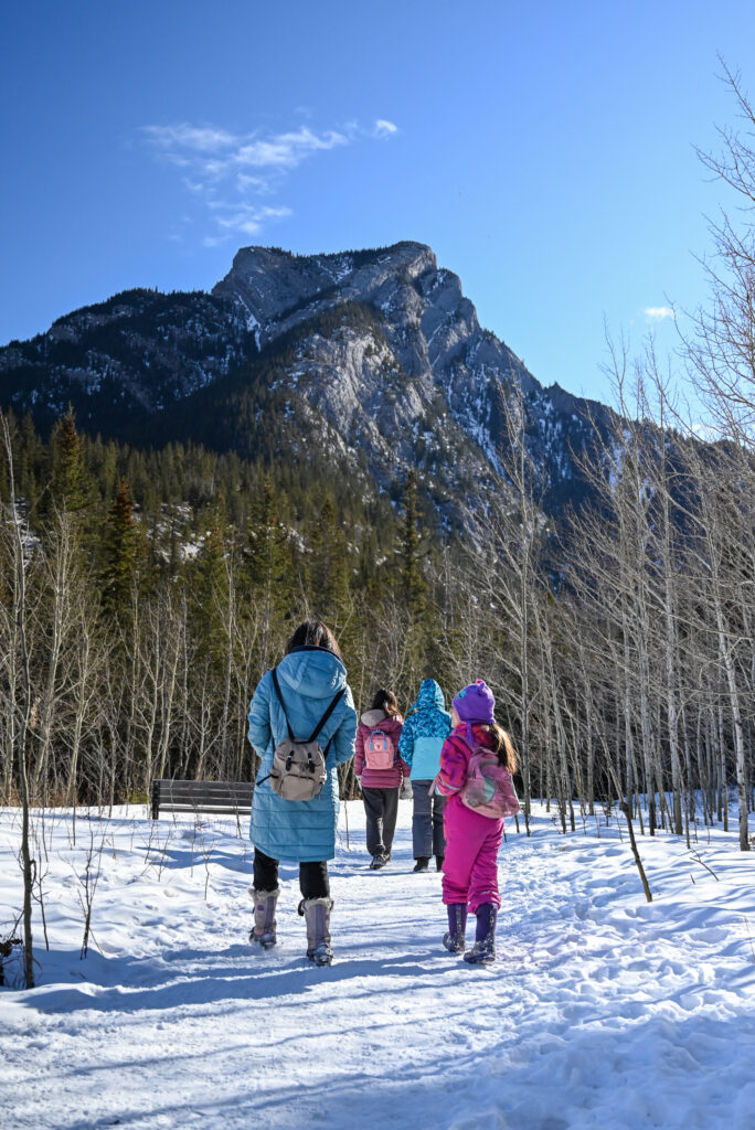
Flowing Water Trail is a fun, short trail in Bow Valley Park that takes you on stairs, boardwalk, wetlands, and along the Kananaskis River. 2.4 km loop.
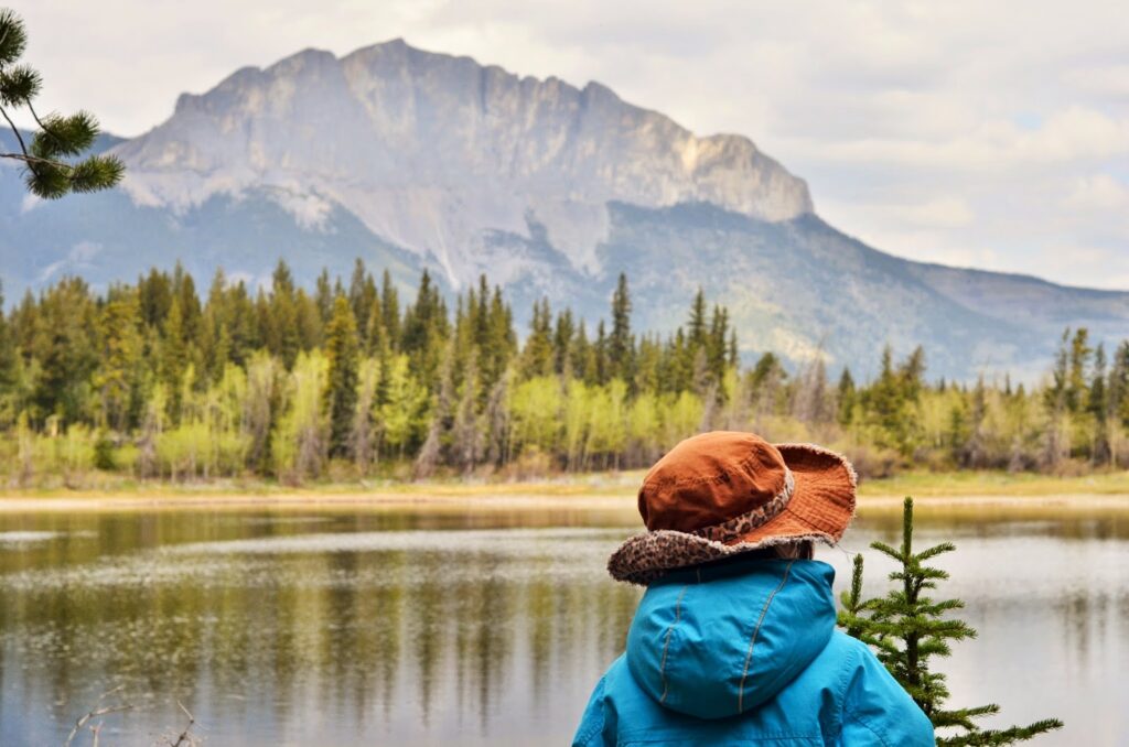
Middle Lake Day Use Area has a picnic area and interpretive trail. Enjoy the view of Mount Yamnuska from across the water. 2 km loop. *Since Flowing Water Trail and Middle Lake are short, you could do them both in the same day. The trailheads are only 3.8 km apart.*
Heart Creek is a fun and easy short trail with several bridges and a waterfall. The waterfall is much more impressive when frozen; it’s a barely noticeable trickle in summer. Aside from a hill at the beginning, there is very little elevation gain. 4.2 km round trip, 160 m elevation gain.
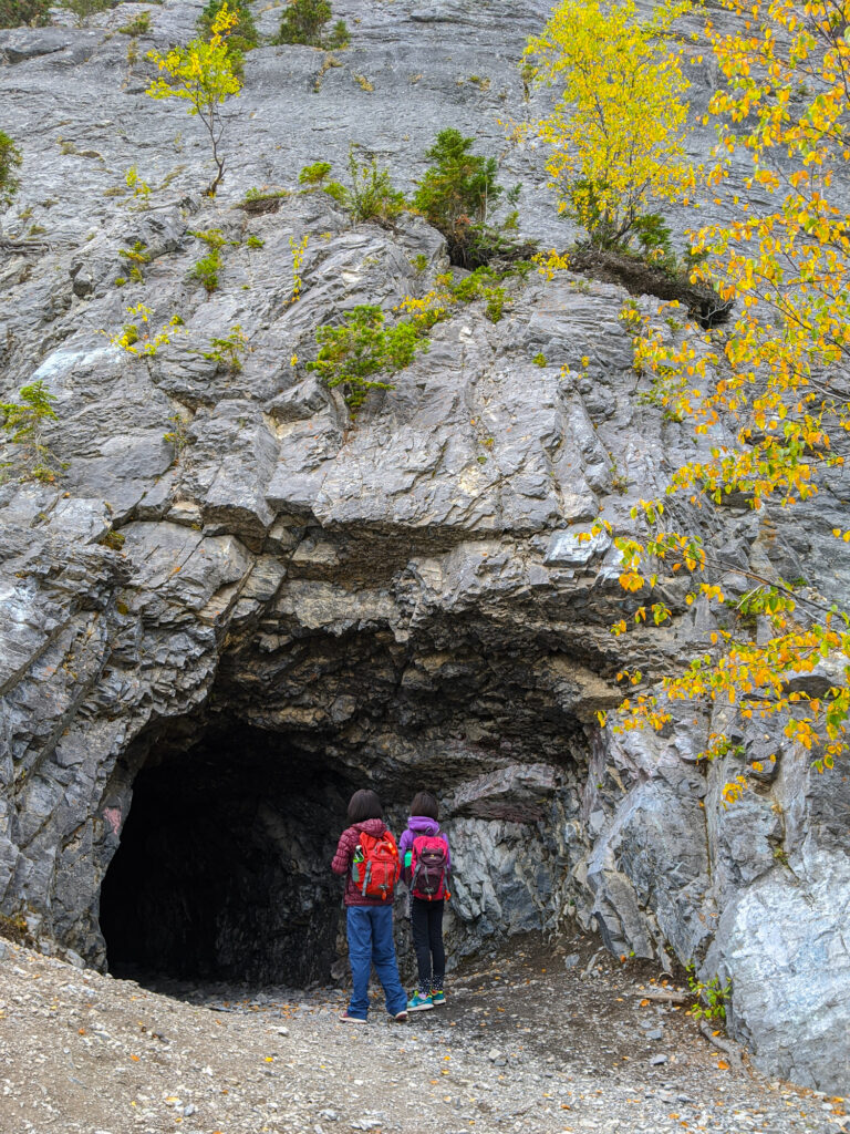
Heart Creek Bunker is an unofficial trail to the site of a would-be Cold War bunker (was never used). Bring headlamps to explore the 80’x25′ caverns. Note that the bunker is on an avalanche slope, so you should avoid this hike if the slope is snow covered. 3.8 km round trip.
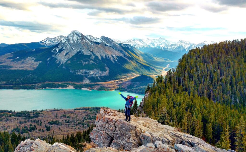
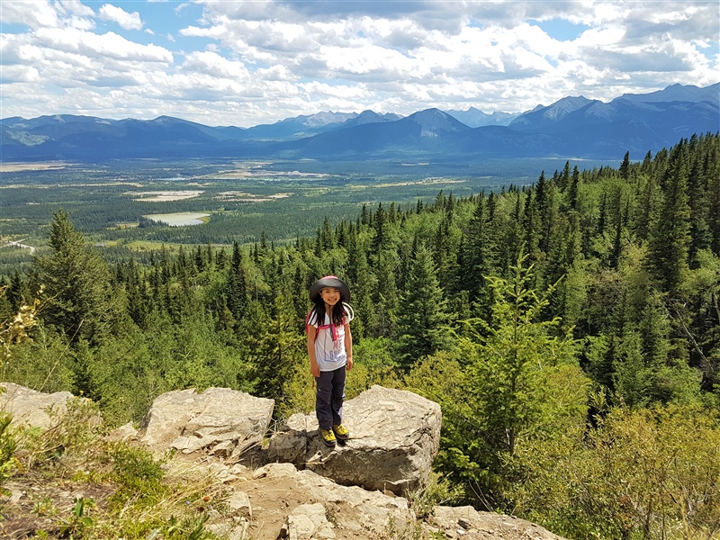
Prairie View Trail to McConnell Ridge or Barrier Lake Fire Lookout is a good hike to do when it’s super windy, as the trees provide shelter from the wind. When you finally break out of the trees at McConnell Ridge, you are rewarded with views of Barrier Lake, Mount Baldy and beyond. There’s a fun little scramble to a higher viewpoint (not recommended if icy), as well as the option to hike up to Barrier Lake Fire Lookout offering 360 views. Return the way you came for the quickest way down. 13.2 km return, 421 m elevation gain. Add on 0.7 km, 100 m elevation gain to the Fire Lookout.
Raven’s End (east shoulder of Mount Yamnuska) is another good fall / spring hike near Calgary. Beautiful alders line the trail and as you get higher, there are great views to the south and west. From the end of the parking lot, take the trail on the right. When you get to a signed fork, take the hiking/scrambling trail on the right to reach the east shoulder of Mount Yamnuska. Return the way you came. Read Hiking Mount Yamnuska: Choose Your Own Adventure for a detailed route description. 7 km return, 500 m elevation gain.
Widow Maker Trail is a short and scenic trail along the Kananaskis River. Watch kayakers and rafts on the rapids. 1.2 km to Kananaskis Visitor Information Centre, 2 km to Canoe Meadows, 120 m elevation gain.
Canyon Ice Walks
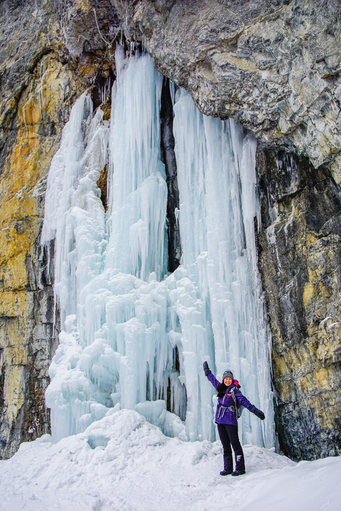
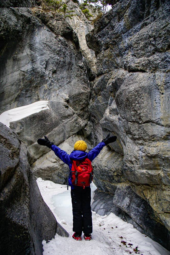
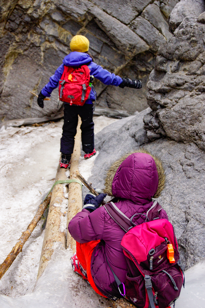
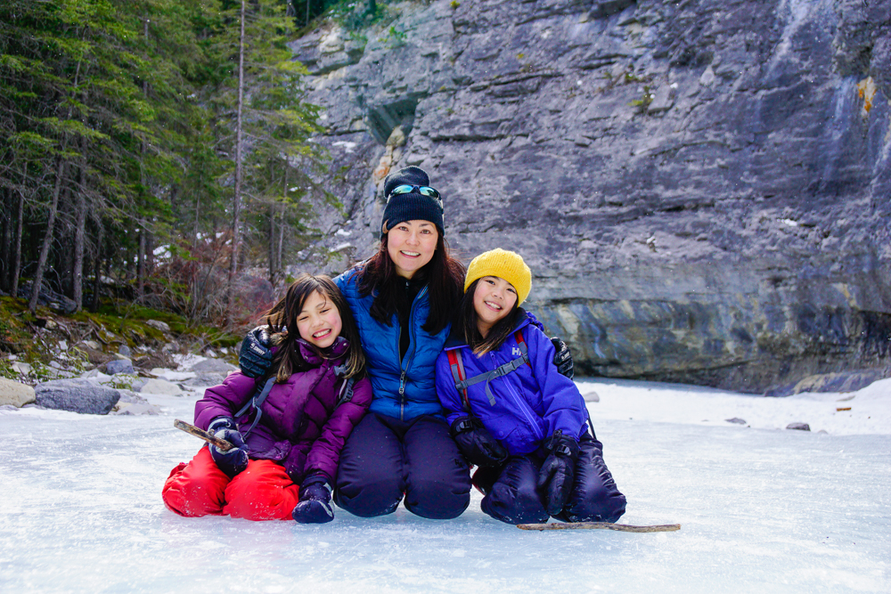
One of the best things about the colder weather is the chance to go on a canyon ice walk! From December until March, weather permitting, you can hike the frozen creekbeds of Jura Canyon and Grotto Canyon. Avoid these trails if it’s been warm for a few days or you could sink into slush and water up to your knees. Traction devices are required so you don’t slip.
Jura Canyon takes you through a cool slot canyon. 3 km round trip.
Grotto Canyon has twin ice falls, His & Hers, and 500 year old pictographs. 3.8 km round trip, 100 m elevation gain.
Canmore & Canmore Nordic Centre Provincial Park
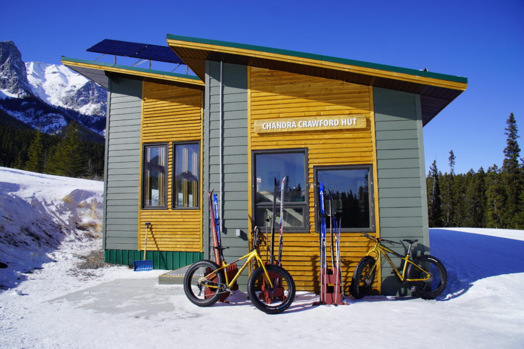
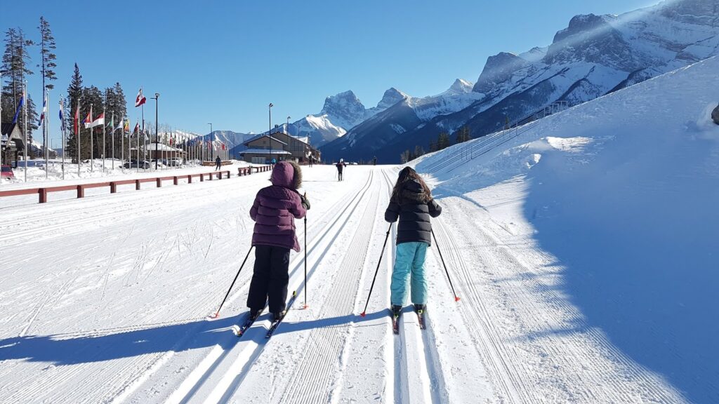
Canmore Nordic Centre is a world class nordic skiing facility that also has an ice rink, snowshoeing trails, and fat biking trails. When the snow melts, enjoy mountain biking the trails and bike skills park, orienteering, and disc golf course. To see all the activities the park has to offer, see our Canmore Nordic Centre Recreation Guide. Note that trail fees are in effect for cross country skiing.
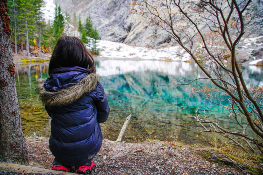
If you’re looking for a great, short hike near Canmore, try Grassi Lakes. This lovely trail boasts a waterfall (only visible from the “difficult” trail); two small, emerald green lakes; and pictographs! Note: The “difficult” route past the waterfall is usually closed from late fall to early spring due to ice flows but the “easy” trail is open year round. Check the Alberta Parks Trail Reports before you go! 3.2 km round trip, 125 m elevation gain.
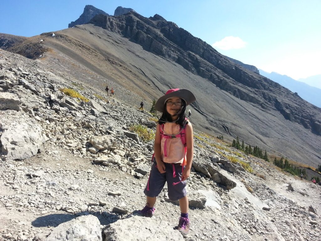
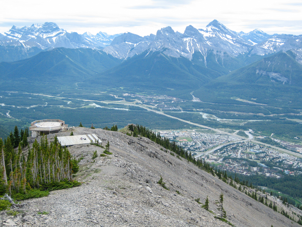
Ha Ling Peak is a steep but rewarding summit you can hike almost year round, but you will definitely need traction devices from late fall through spring. 3.9 km one way, 910 m elevation gain. March 2023 update: After a lengthy construction closure, the trail has reopened!
Mount Lady MacDonald can also be hiked year round due to its south-facing slope, but we recommend going only as far as the (abandoned) teahouse platform or false summit when the summit knife-edge ridge is wet or snow/ice covered. 3.2 km one way, 1200 m elevation gain. SEPTEMBER 11, 2023 NOTICE: CLOSED UNTIL FURTHER NOTICE for construction and blasting.
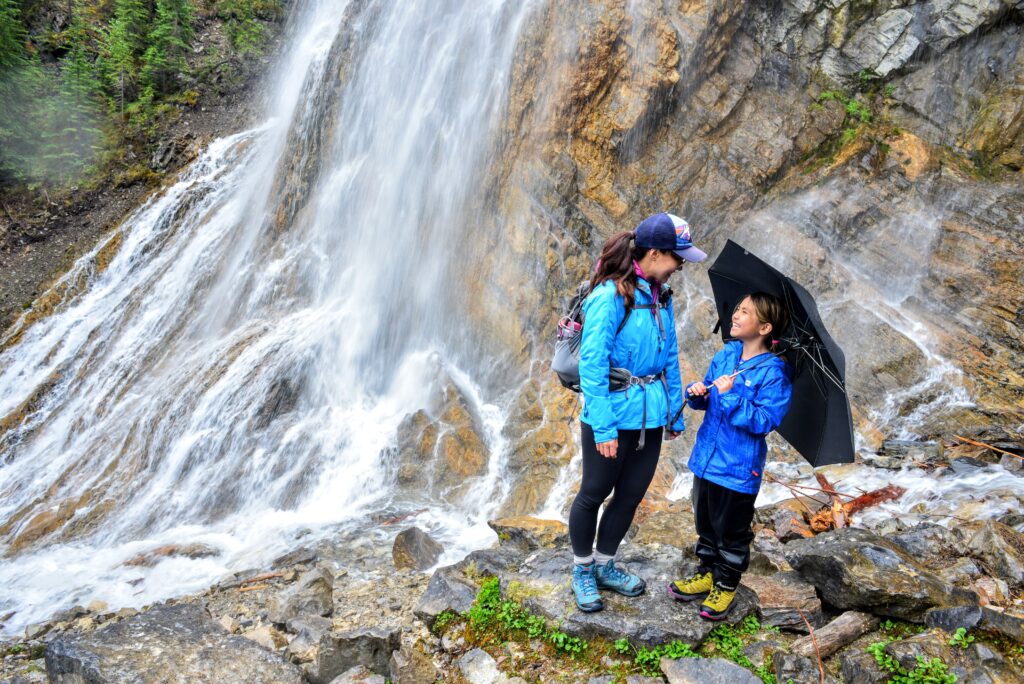
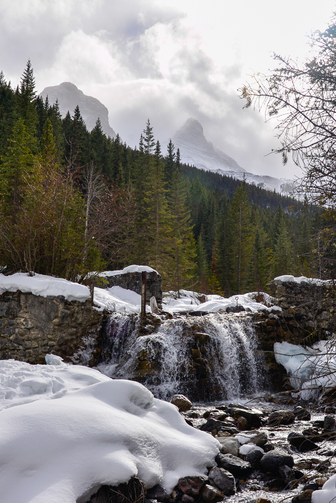
Hike Three Sisters Creek to two waterfalls! A few shallow creek crossings are required, so wear waterproof footwear! Only 4 kilometres round trip.
Elbow Valley
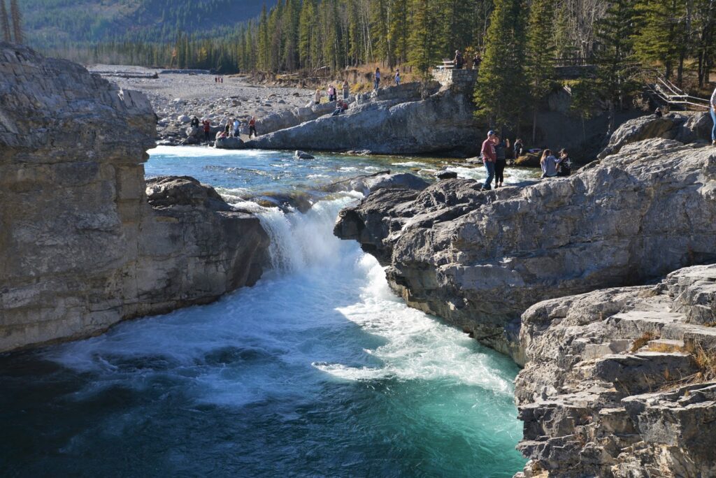
The Elbow Valley is a wonderful place to hike in fall. Stop in Bragg Creek before or after your hike for a bite to eat!
The shortest trail is Elbow Falls Interpretive Trail. Learn about water erosion and management on this short, scenic walk. The upper (left) side of the loop is wheelchair accessible. 800 m loop.
Fullerton Loop is moderate family hike that takes you through meadows, forest, and along a ridge with mountain views on the west side of the loop. Follow the orange trail markers and maps to make a loop. 6.8 km round trip, 213 m elevation gain.
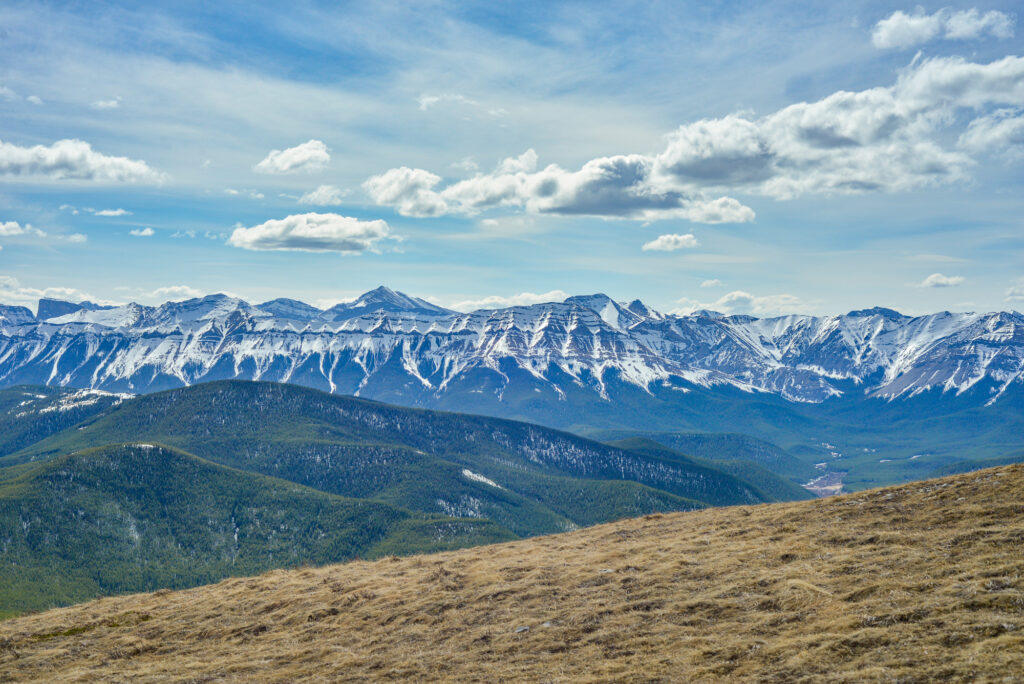
For more of a challenge and amazing views, try Prairie Mountain. You can do this hike almost year round as the top is usually windswept minimizing avalanche danger. It’s quite a grind, but well worth the effort! 8 km round trip, 700 m elevation gain.
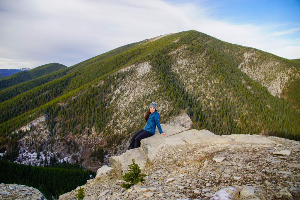
Vents Ridge is a fun, short hike near Bragg Creek that passes the White Buddha climbing and bouldering area. A rock helmet is recommended near the cliffs due to risk of rockfall. 2 km one way (add 1 km one way from Dec 1 – May 14 when the winter gate is closed), 300 metres elevation gain.
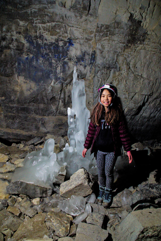
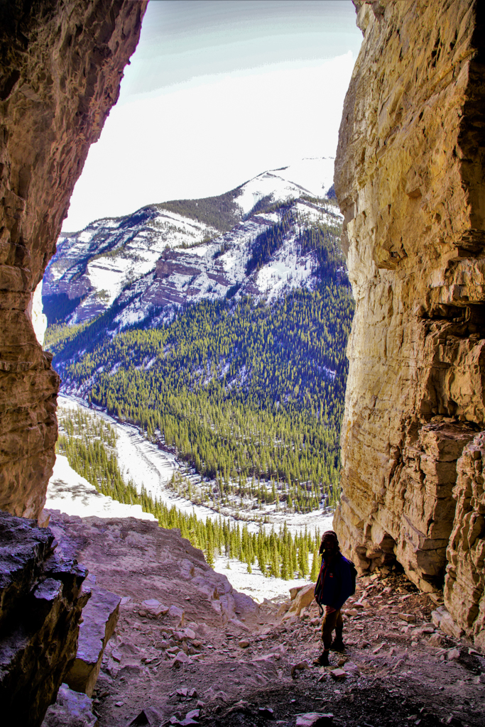
Canyon Creek Ice Cave, a large limestone cave with ice formations in the side of Moose Mountain. It’s best done as a bike and hike as the first 5.5 kilometres are on a gravel road. Climbing helmets are recommended due to significant risk of rockfall near the cave. Distance: 12.4 km round trip, 275 m elevation gain.
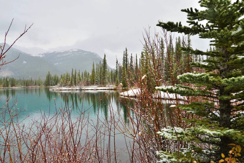
Beautiful Forgetmenot Pond is a popular picnic spot, but also makes a great walk with young children as the trail is flat and only 2 km long. Enjoy the view and watch for Arctic Grayling (catch & release only) in the emerald green pond. For more information, see The Best Short Hikes in Kananaskis. Please note that Hwy 66 is closed from Dec 1 – May 14, but you can ride your bike to the trailhead when the road is closed! Details at Biking Highway 66 from Elbow Falls to Forgetmenot Pond.
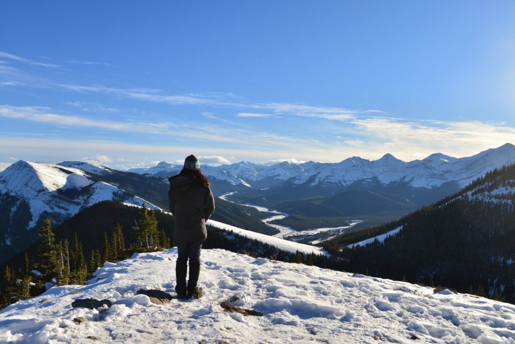
Powder Puff & Sunrise Hill are two fantastic viewpoints you can visit on one short hike. Whether you stop at the first “summit” or second, the views are amazing! 3 km return to Powder Puff or 5 km return to Sunrise Hill. For a longer hike, carry on to Powderface Ridge (4.8 km to ridge, 6.9 km to summit). Please note that Hwy 66 is closed from Dec 1 – May 14. If you would like to bike to the trailhead, read Biking Highway 66 from Elbow Falls to Forgetmenot Pond.
Kananaskis Valley
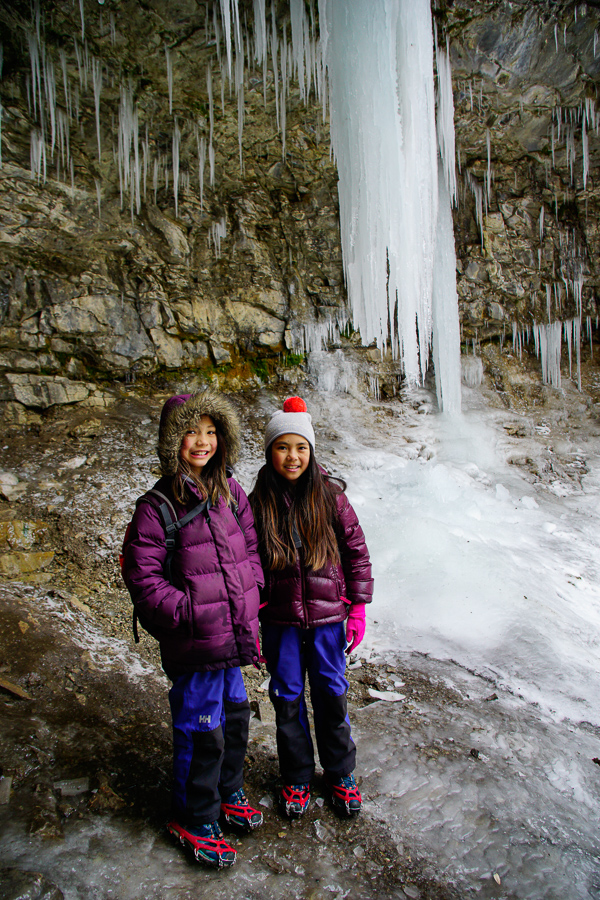
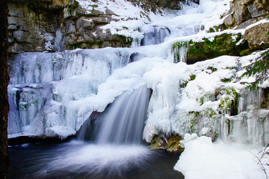
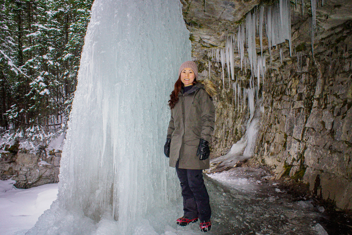
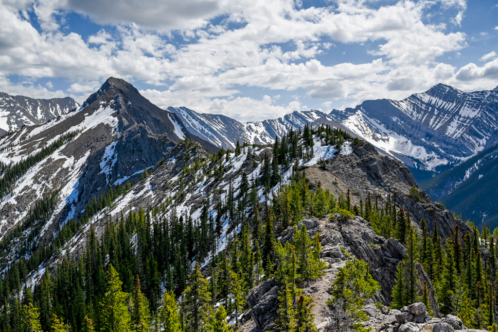
Troll Falls and Upper Falls are gorgeous in fall and winter when the falls are frozen. The Upper Falls Trail gets quite icy, however, so pack traction devices (it’s mostly uphill from Troll Falls to Upper Falls). Don’t miss Marmot Creek Falls on the way to Upper Falls – you can actually walk behind it! 1.7 km to Troll Falls + 0.9 km to Upper Falls, 100 m elevation gain.
Wasootch Ridge is a popular shoulder season objective that gets you above treeline fast for fantastic views. Park at Wasootch Day Use Area and look for the trailhead on the southeast side of the parking lot (Don’t take the trail through the valley!). You’ll find a the narrow trail behind the picnic table that goes straight up. 10.2 km round trip to the cairn, 750 m elevation gain.
Sibbald Flats
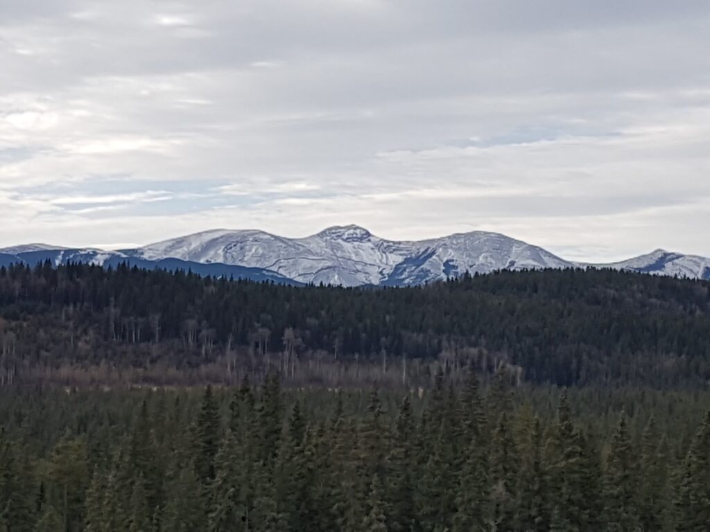
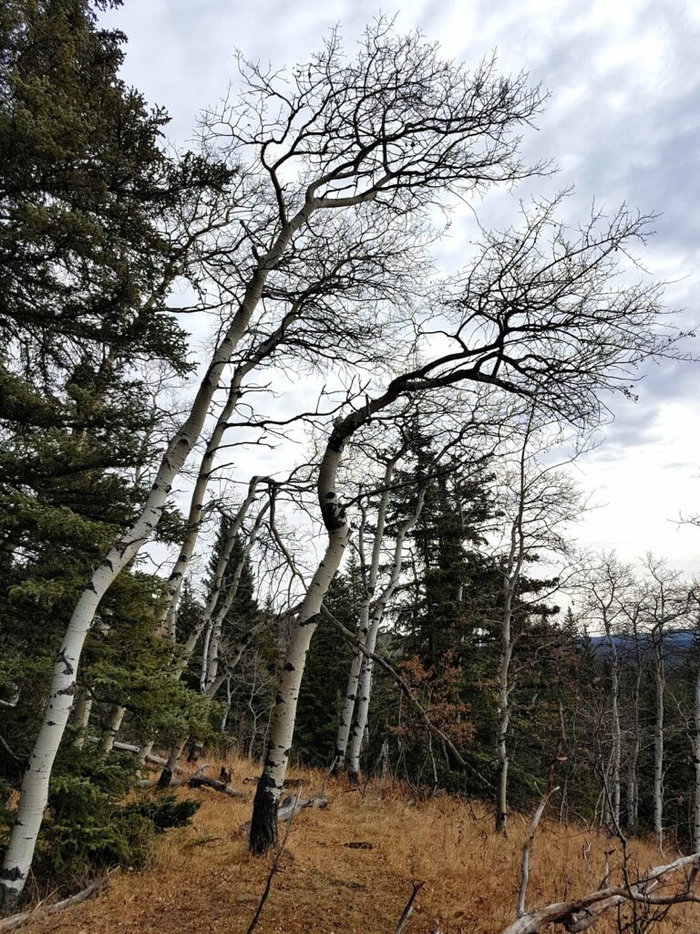
Jumpingpound Loop is a good shoulder season objective when there’s avalanche danger in other areas. This rolling loop takes you through aspen forest and mixed forest on the north side of Sibbald Creek Trail with occasional views of Moose Mountain, and along the river and through a large meadow on the south side. Start at Pine Top Recreation Area just past the cattle guard on Hwy 68 / Sibbald Creek Trail (where the road goes from pavement to gravel). The trail is on the right hand side of the road. 9 km loop, 421 m elevation gain.
Deer Ridge is a short, but interesting trail offering views of Moose Mountain and the beaver ponds in Sibbald Creek. Don’t miss the old Sun Lodge in the meadow! Distance: 6.6 km return, Elevation gain: 183 m. Not stroller friendly.
- Directions to Deer Ridge Trailhead: Travel west on Hwy 1, take the Sibbald Creek Trail (Hwy 68) turnoff. Continue 22 km on the paved and gravel road, to the Sibbald Lake turnoff. At the 4-way junction on Sibbald Lake access road, turn left and park in the west parking lot. The trail starts to the left of the washrooms at the large “Sibbald Flat Trail” sign. I recommend going up the ridge and returning the way you came as the second half of the loop is overgrown.
The Ghost River Wilderness
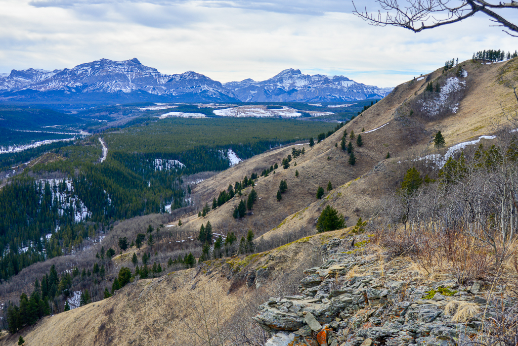
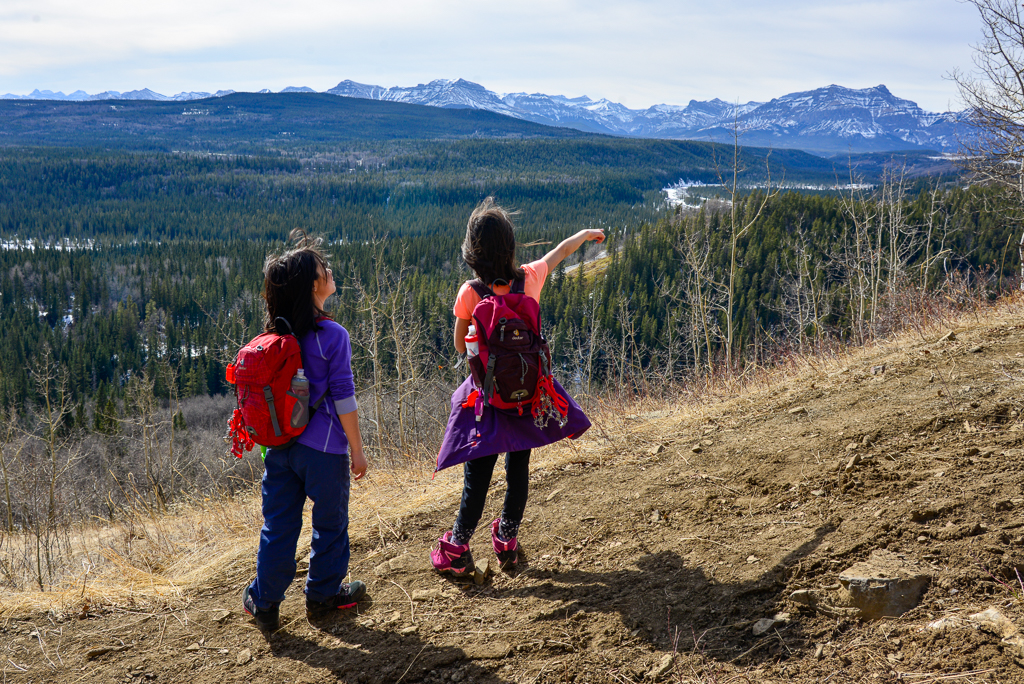
Lesueur Ridge‘s south exposure means it dries out quicker than other trails in Kananaskis. Enjoy lovely mountain views as you head west (do the trail counterclockwise), wildflowers in spring, and blazing aspens in autumn. 8 km loop, 350 m elevation gain.
Mockingbird Fire Lookout is a fun little summit for kids. Hike up the fire lookout access road then take Anne’s Path to a picnic table with picture-perfect views. 5.8 km round trip, 350 m elevation gain.
Peter Lougheed Provincial Park and Spray Valley Provincial Park
Peter Lougheed Provincial Park and the Spray Valley get a ton of snow, so check trail and avalanche conditions every time you go. You can usually snowshoe these trails from mid to late November until late April (see Where to Snowshoe Near Calgary for snowshoe trails). On warm spring days, expect to posthole without snowshoes.
Although official winter trails in the park are in Class 1 (lowest risk) Avalanche Terrain, you should educate yourself on where the risks exist so you can avoid them. For example, it is Class 1 terrain to the near shore of Rawson Lake or Warspite Lake, but there is considerable avalanche danger on the other side of the lakes (avalanche slopes). When in doubt, confirm your route with Visitor Information before hitting the trail.
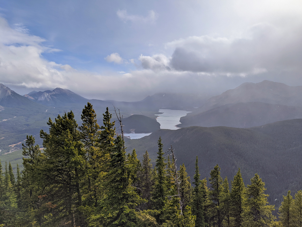
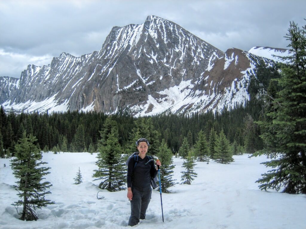
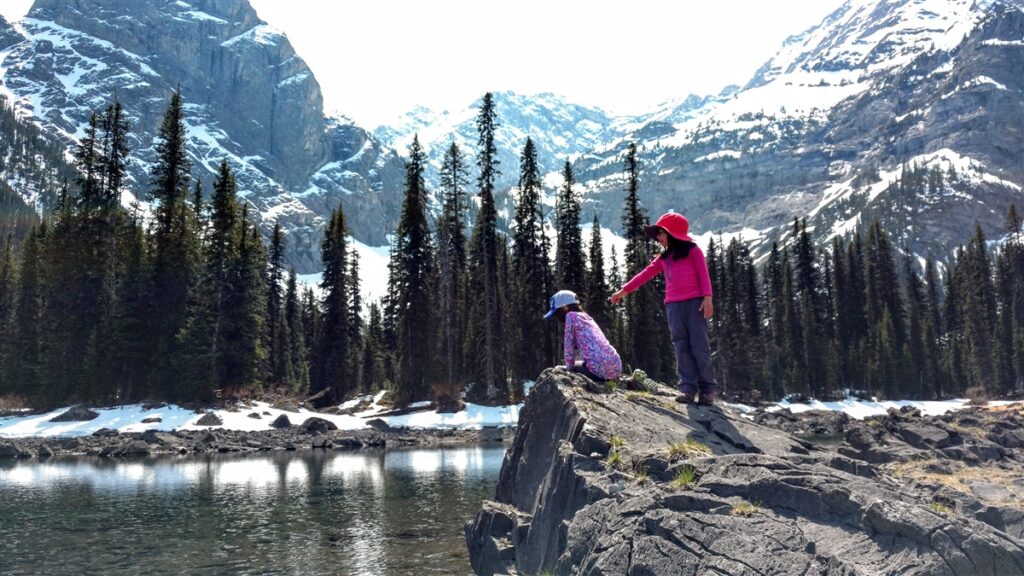
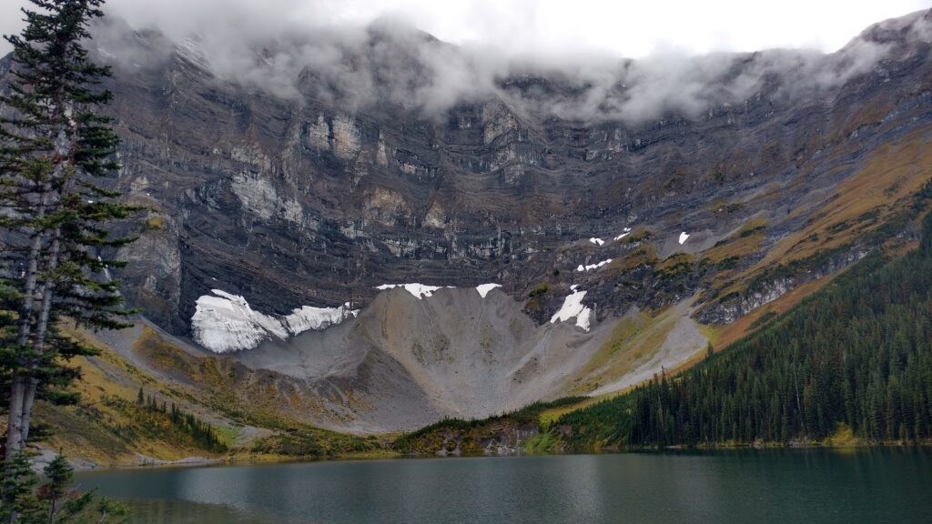
Black Prince Cirque / Warspite Lake is a fun hike to an intermittent pond, and is popular with backcountry skiers in winter. Do not cross the lake in winter conditions – there is significant avalanche danger! 4.2 km loop with 90 m elevation gain.
South Lawson Peak (aka Little Lawson) is one of the prettiest little summits in Kananaskis! Hike to a stunning viewpoint of Upper and Lower Kananaskis Lakes in 3.5 kilometres!
Rawson Lake is a great year-round trail. You can hike or snowshoe here depending on how many people have been on the trail before you and how recently it has snowed. Start at Upper Kananaskis Lake parking lot, take the lakeshore trail until the first turnoff (there’s a map at the junction), turn left and head uphill to Rawson Lake. *DO NOT CROSS THE LAKE IN WINTER CONDITIONS – THERE ARE HUGE AVALANCHE SLOPES ABOVE!* 7.8 km return, 320 m elevation gain.
Chester Lake is a snow lovers’ paradise. You can ski, hike or snowshoe here. Hike on the packed snow or snowshoe in the fluffy stuff a little off trail. If you have time and energy, the Elephant Rocks are a worthwhile detour (add 1 km return). Although you can often hike this trail when the snow is packed down, on warm spring days, you will posthole in the afternoon. Carry snowshoes just in case – this area holds over 1 metre of snow until late spring. Please note that Chester Lake Trail is closed from May 1 – June 29 each year. 9.2 km round trip, 300 m elevation gain.
For fishing and first time backcountry camping, Elbow Lake is ideal. The hike to the pretty alpine lake is only 2.6 km return, with 150 m elevation gain. Backcountry camping permits are required to camp. If you plan on fishing, please check and follow Alberta Fishing Regulations. Note: The winter gate on Highway 40 is closed from December 1 – June 14.
Know Before You Go
A Kananaskis Conservation Pass is required to park in Kananaskis. Purchase your pass online at https://www.alberta.ca/kananaskis-conservation-pass.aspx.
Did you know bears only “hibernate” from late January until March? Cougars and wolves do not hibernate, so you should carry bear spray year round. Read my bear safety tips here.
Days are short, so getting an early start is one way to avoid being caught out after dark. For more ways to stay safe, please read 10 Tips for Fall Hiking in Alberta.
What to Bring
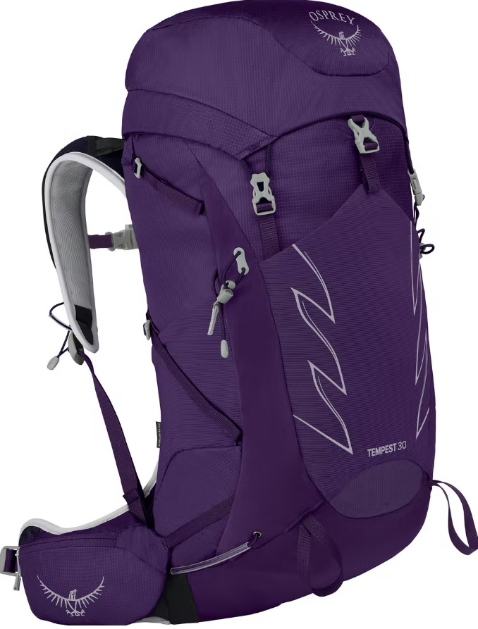
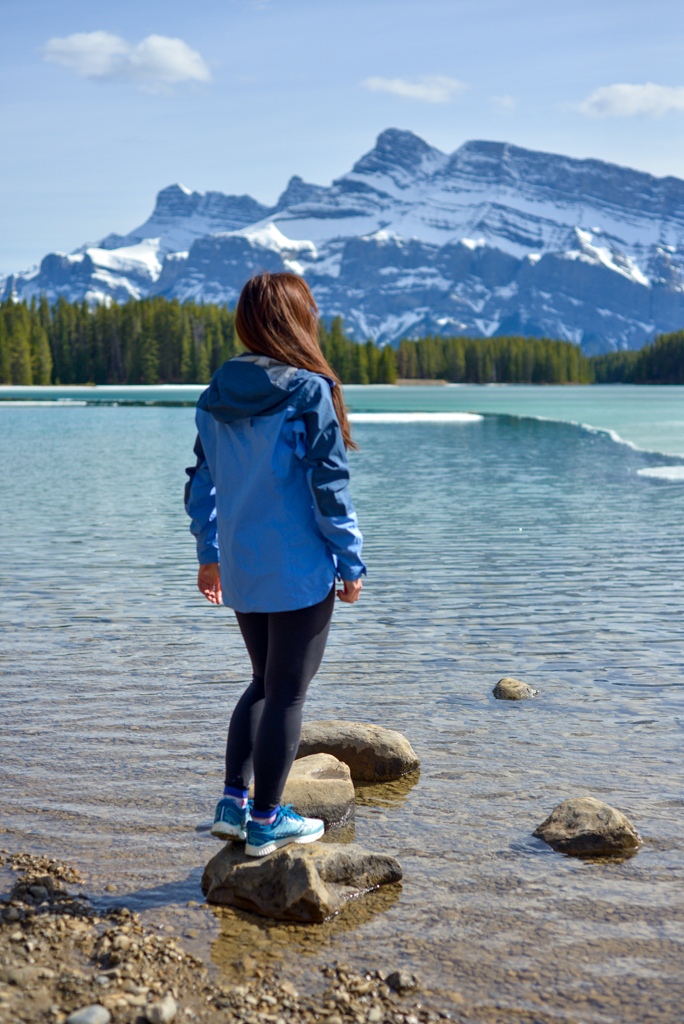
Disclosure: This section includes affiliate links through which I earn a commission on qualifying purchases at no extra cost to you.
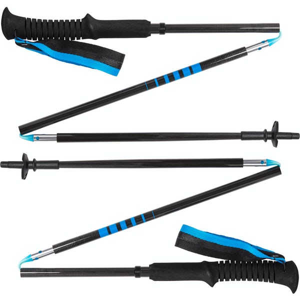
Waterproof mid-height hiking boots, a down hoody or fleece, toque, gloves, and windproof/waterproof shell are recommended year round. Trekking poles are useful for long hikes, steep descents, or when you’re carrying a fully-loaded backpack (or are babywearing). You should also carry The Ten Essentials including: water, extra food, extra clothes, a first aid kit, headlamp, GPS / compass / Garmin inReach Mini 2 satellite communicator* and map of the area, mineral sunscreen, bug spray (this DEET-free insect repellent contains 20% icaridin and will repel ticks), and bear spray. Carry bear spray in a Bear Spray Holster or Scat Griz Bear Spray Running Belt.
*A Garmin inReach Mini 2 satellite communicator is highly recommended for contacting Search & Rescue and emergency contacts in the event of an emergency, or communicating with friends and family when you are out of cell phone range. You can send text messages and your GPS coordinates via satellite, but a monthly service plan is required.
In snowy/icy conditions, traction devices such as Kahtoola Microspikes (Available from Amazon, MEC, and Valhalla Pure Outfitters), or Hillsound Trail Crampons (Available at Valhalla Pure Outfitters and Sport Chek) are recommended. See our Fall/Winter Hiking Gear Guide for recommended clothing and gear.
Related Posts
- Spring & Fall Hikes in Banff
- Winter Fun in Calgary, Kananaskis & Banff
- Why You Need Avalanche Skills Training
- Pond and Lake Ice Safety


