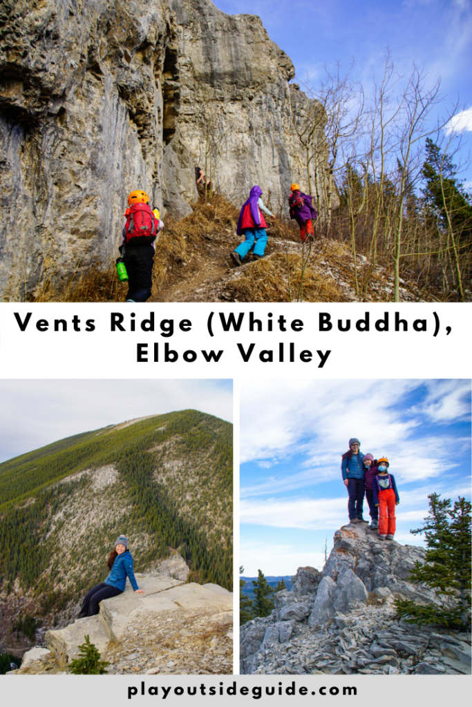
Vents Ridge is a fun, short hike near Bragg Creek that passes the White Buddha climbing and bouldering area.
As we head southwest on Highway 66, along the Elbow River, the mountains get bigger and bigger. Cows graze on the side of the road, and raptors ride the thermals. Elbow Falls Day Use is busy, as usual, but there’s still parking at the end of the lot.
Table of Contents
Route Description
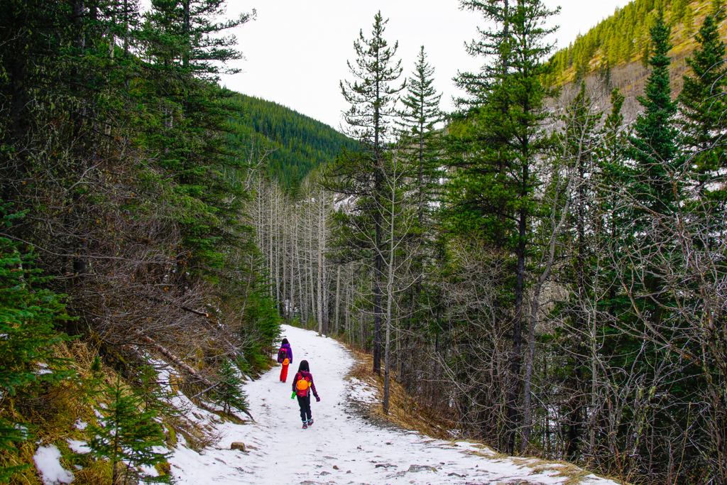
Since the winter gate is closed, we must walk a kilometre on the road to Powderface Creek Trailhead. The crowds dissipate after Prairie Creek, and soon we’re on the forested trail, climbing steadily uphill. About a kilometre from the trailhead, we cross a bridge; and 400 metres later, we take the small, unsigned turnoff to Vents Ridge. The trail heading up the steep hill on the right is narrow, but well-traveled.
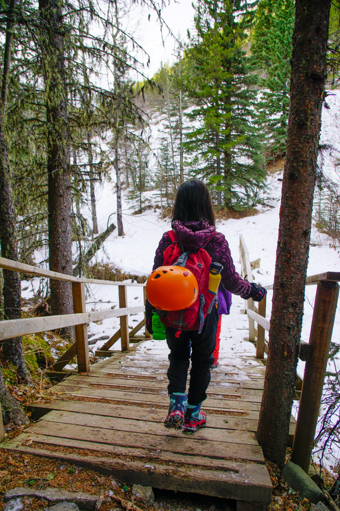
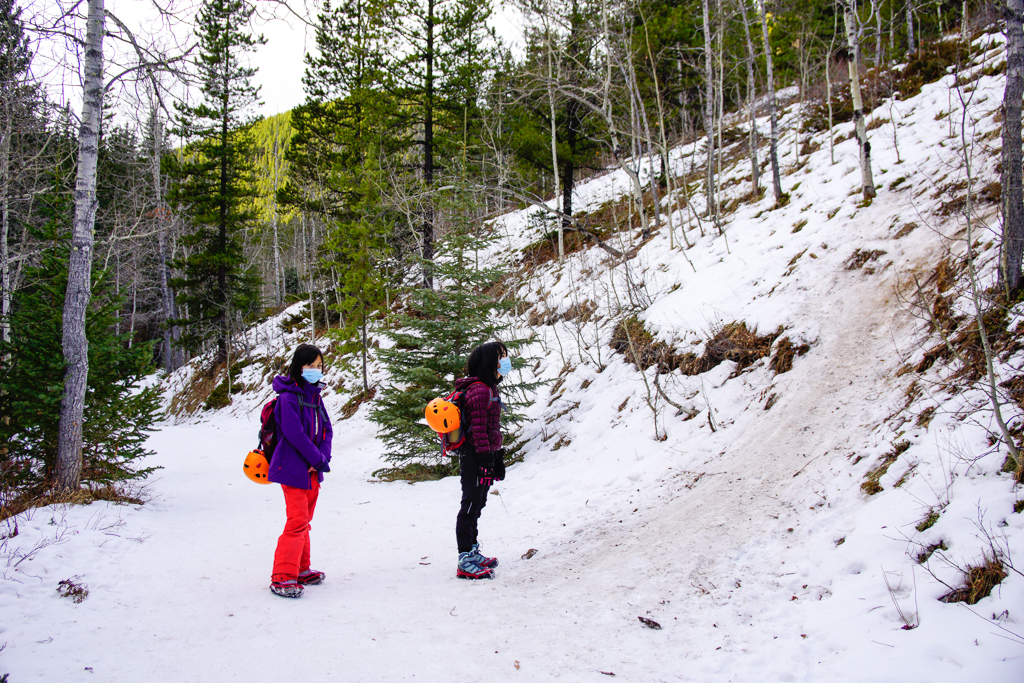
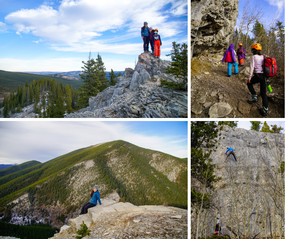
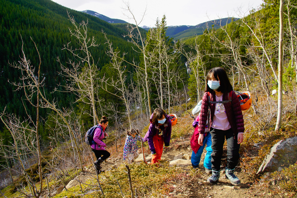
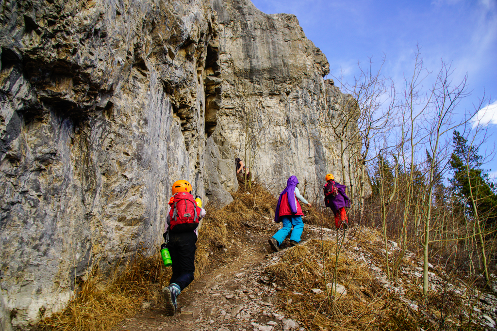
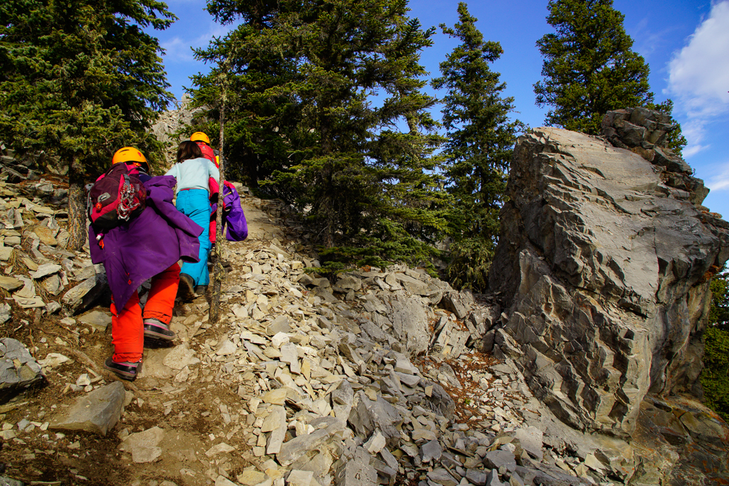
Most of the elevation gain takes place after the turnoff: over 200+ metres of gain in 600 metres. Halfway up, we stop to catch our breath, and admire Myosotis Peak. As we approach the cliffs (White Buddha / Prairie Crag climbing and bouldering area), we put rock helmets on and hike close together to avoid kicking rocks on each other.
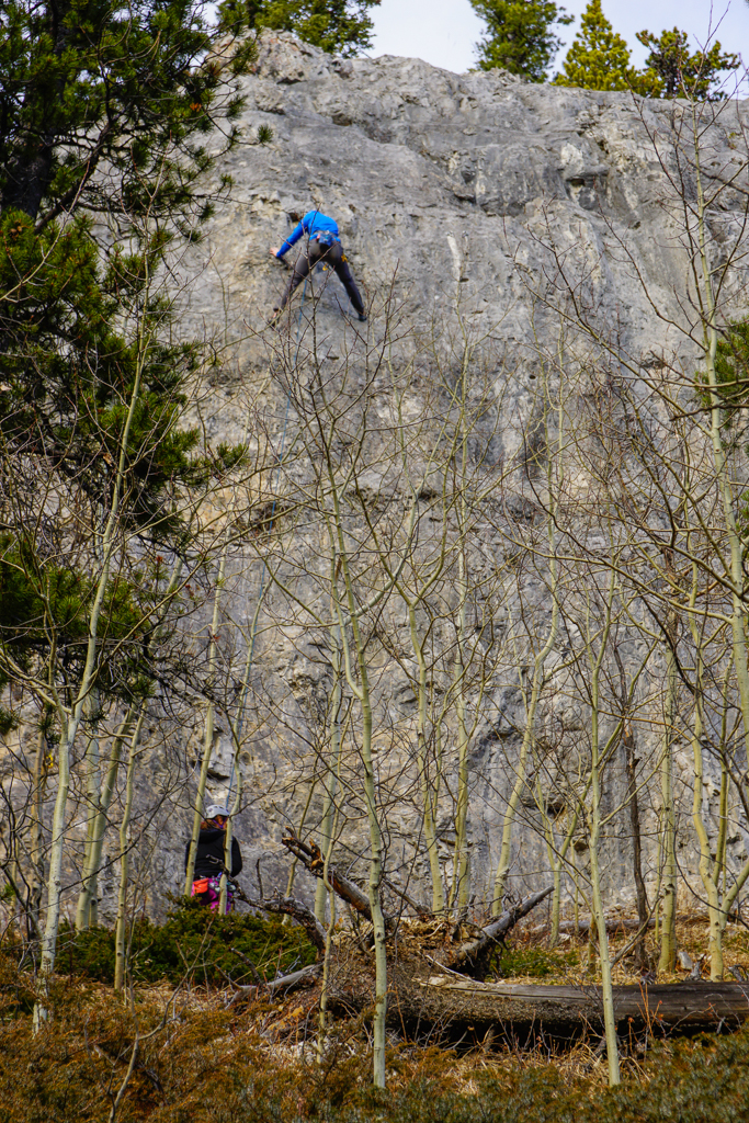
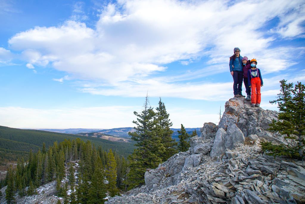
Following the trail to the right, along the base of the cliffs, we pass a few small groups climbing and bouldering. Although we never saw what looked like a Buddha, we had fun looking for faces in the rocks. When the cliffs peter out, it’s a short scramble uphill (to the left) to the ridgetop. This section is steep with loose rock, and there is some exposure at the summit, so keep kids close.
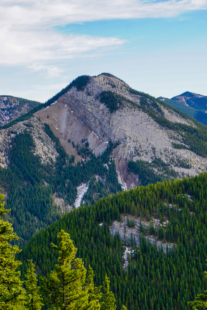
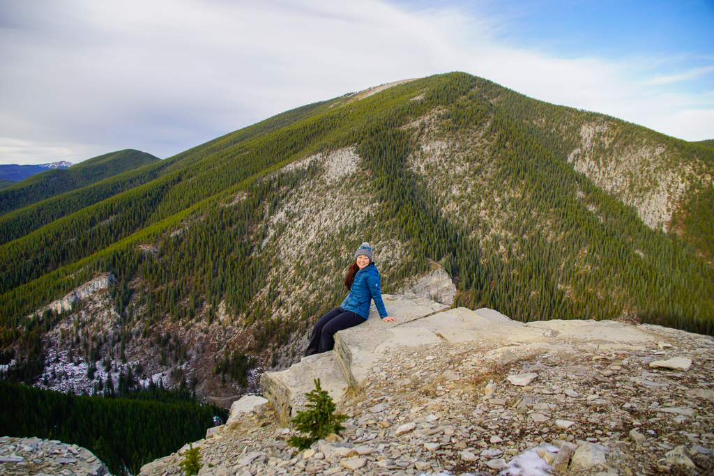
From the summit, you can see Nihahi Ridge on your left (west); Prairie Mountain, the large mountain straight in front of you (north); and downtown Calgary on the right (east). Explore the ridge and return the way you came. While it’s possible to descend the other side of the ridge and return via Prairie Creek, it’s super steep and some bushwhacking may be required.
Fun Fact: Vents Ridge is named for five vents near the summit that you can see on a frosty/snowy day (though I don’t recommend going here when the slope is snow covered).
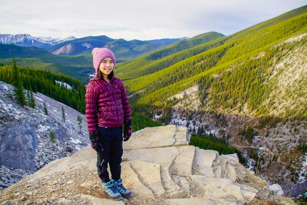
Vents Ridge at a Glance
- Distance: 2 km one way (add on 1 km from Elbow Falls from December 1 – May 14; see note below)
- Elevation Gain: 300 metres
- Chariot-friendly? No
- Nearest washrooms: Powderface Creek Trailhead (may be closed in the off season)
- Trailhead: Powderface Creek Trailhead
- Parking: Powderface Creek (May 15 – November 30) or Elbow Falls (December 1 – May 14)
Seasonal Road Closure: From December 1 – May 14, you must park at Elbow Falls Parking Lot and walk 1 km past the winter gate to the trailhead. Parking along the road is not permitted.
Getting Here
The trail to Vents Ridge starts at Powderface Creek Trail Parking (Google Maps pin), 25 minutes SW of Bragg Creek on Highway 66. When the winter gate is closed – from December 1 to May 14 – park at Elbow Falls and walk 1 km west to the trailhead.
Know Before You Go
- A Kananaskis Conservation Pass is required to park in Kananaskis. Purchase your pass online at https://www.alberta.ca/kananaskis-conservation-pass.aspx.
- Did you know bears only “hibernate” from late January until March? Cougars and wolves do not hibernate, so you should carry bear spray year round. Read my bear safety tips here.
- There is a risk of rockfall as you travel below and along the cliffs – and on the final section to the ridgetop. Rock helmets recommended.
- The last 50 metres is very steep with loose rock (good intro to scrambling). Be sure to yell “Rock!” if you accidentally dislodge a rock.
- DO NOT THROW ROCKS from the top. Climbers below!
What to Bring
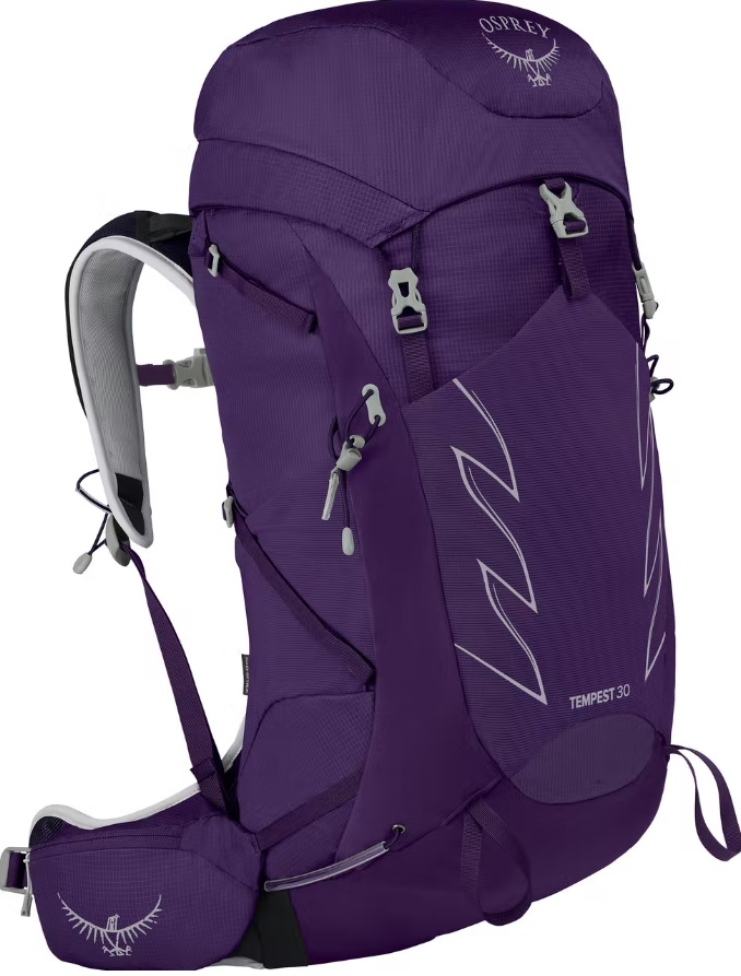
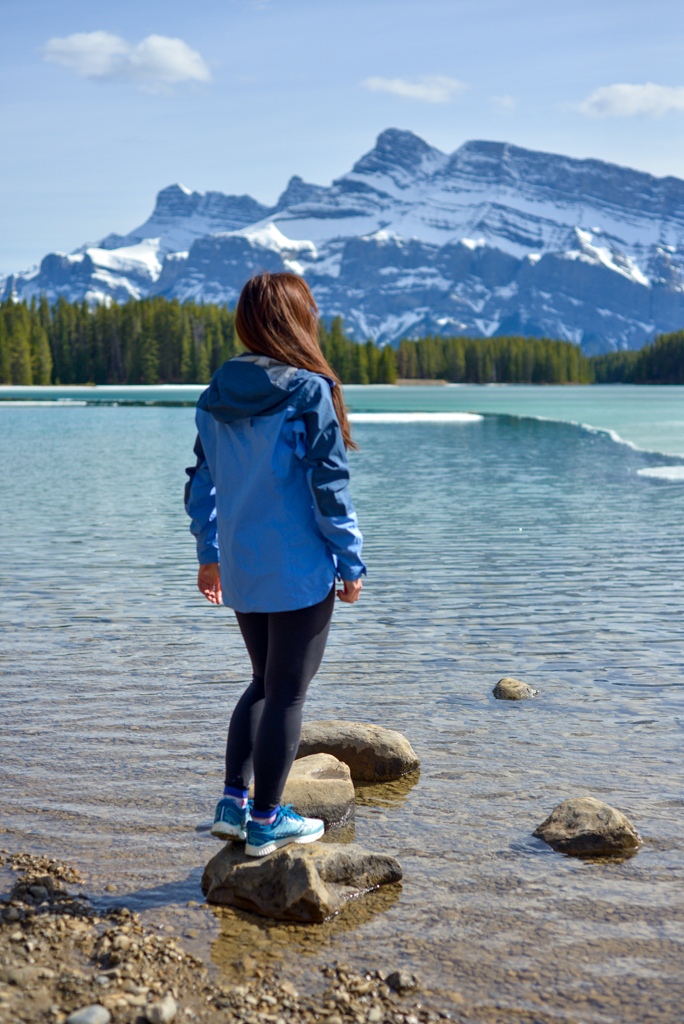
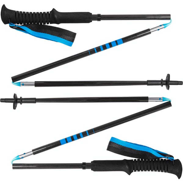
Disclosure: This section includes affiliate links through which I earn a commission on qualifying purchases at no extra cost to you.
Waterproof mid-height hiking boots, a down hoody or fleece, toque, gloves, and windproof/waterproof shell are recommended year round. Trekking poles are useful for long hikes, steep descents, or when you’re carrying a fully-loaded backpack (or are babywearing). You should also carry The Ten Essentials including: water, extra food, extra clothes, a first aid kit, headlamp, GPS / compass / Garmin inReach Mini 2 satellite communicator* and map of the area, mineral sunscreen, bug spray (this DEET-free insect repellent contains 20% icaridin and will repel ticks), and bear spray. Carry bear spray in a Bear Spray Holster or Scat Griz Bear Spray Running Belt.
*A Garmin inReach Mini 2 satellite communicator is highly recommended for contacting Search & Rescue and emergency contacts in the event of an emergency, or communicating with friends and family when you are out of cell phone range. You can send text messages and your GPS coordinates via satellite, but a monthly service plan is required.
In snowy/icy conditions, traction devices such as Kahtoola Microspikes (Available from Amazon, MEC, and Valhalla Pure Outfitters), or Hillsound Trail Crampons (Available at Valhalla Pure Outfitters and Sport Chek) are recommended. See our Fall/Winter Hiking Gear Guide for recommended clothing and gear.
More Elbow Valley Hiking Trails
- Elbow Falls
- Forget-me-not Pond
- Fullerton Loop
- Prairie Mountain
- Powderface Ridge
- Sunrise Hill and Powder Puff


