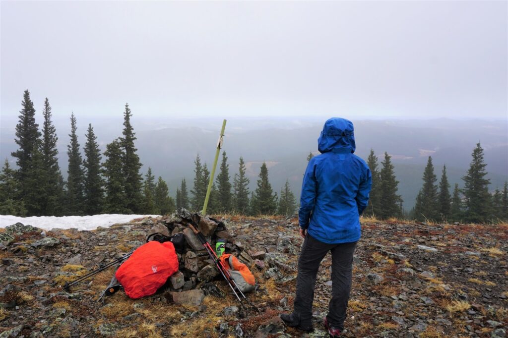
Powderface Ridge is a popular fall and spring hike in the Elbow Valley, near Bragg Creek. While you hike through the trees most of the time, the view from the ridge top is pretty impressive and the trees reduce avalanche danger once the snow flies.
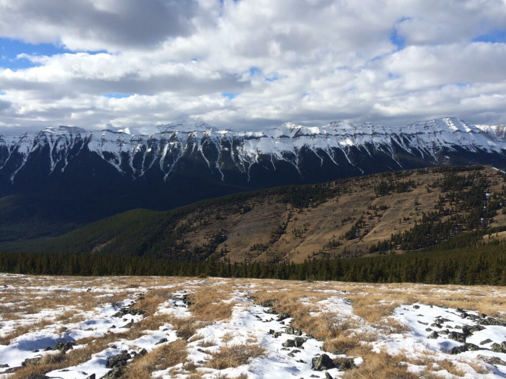 |
| View from Powderface Ridge Image Credit: Robin Zielke |
On past trips, I did a long loop from the Powderface picnic area, but last week I was looking for something quick… something I could do while the kids were at school. Sherry and I decided to gain the ridge from an unmarked pullout at the junction of Hwy 66 & the turnoff to Forgetmenot Pond for a nice 9.6 km return hike. Note: The ridge summit is at 6.9 km but you can gain the ridge at 4.8 km.
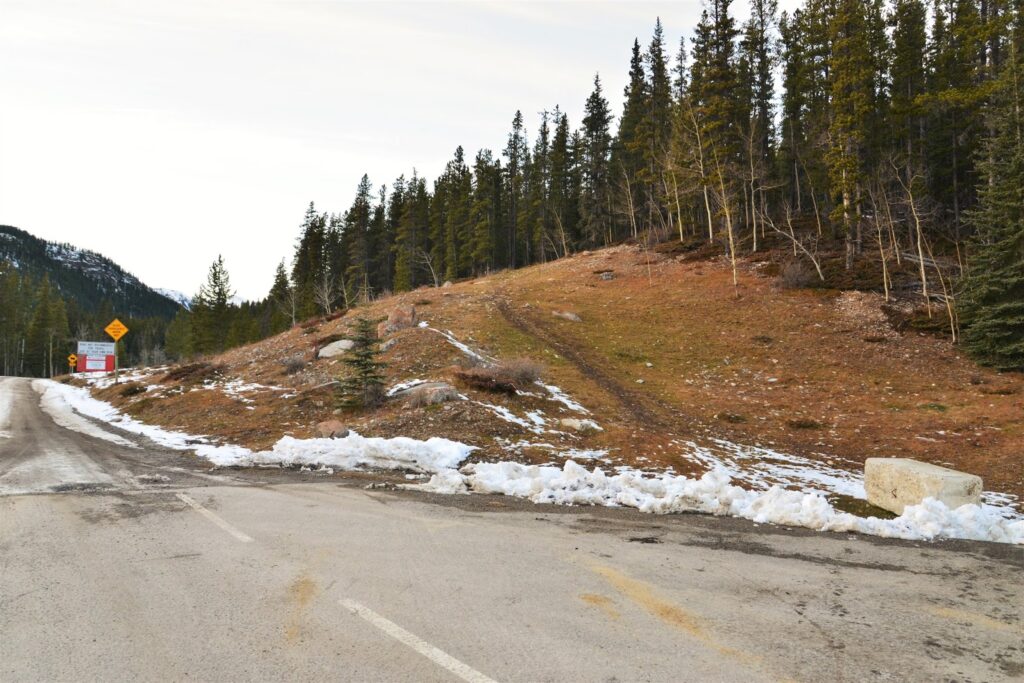 |
| Park here – trail goes up grassy hill and to the right |
Powderface Trail climbs steadily and moderately through trees for the most part. When you get to a grassy hill on the right, that’s “Powder Puff“. Keep going straight. The next prominent hill on the right is Sunrise Hill. Sunrise Hill makes a good end point if you’re running out of daylight (or have cranky kids in tow). It’s a short but steep slog to the top with awesome views!
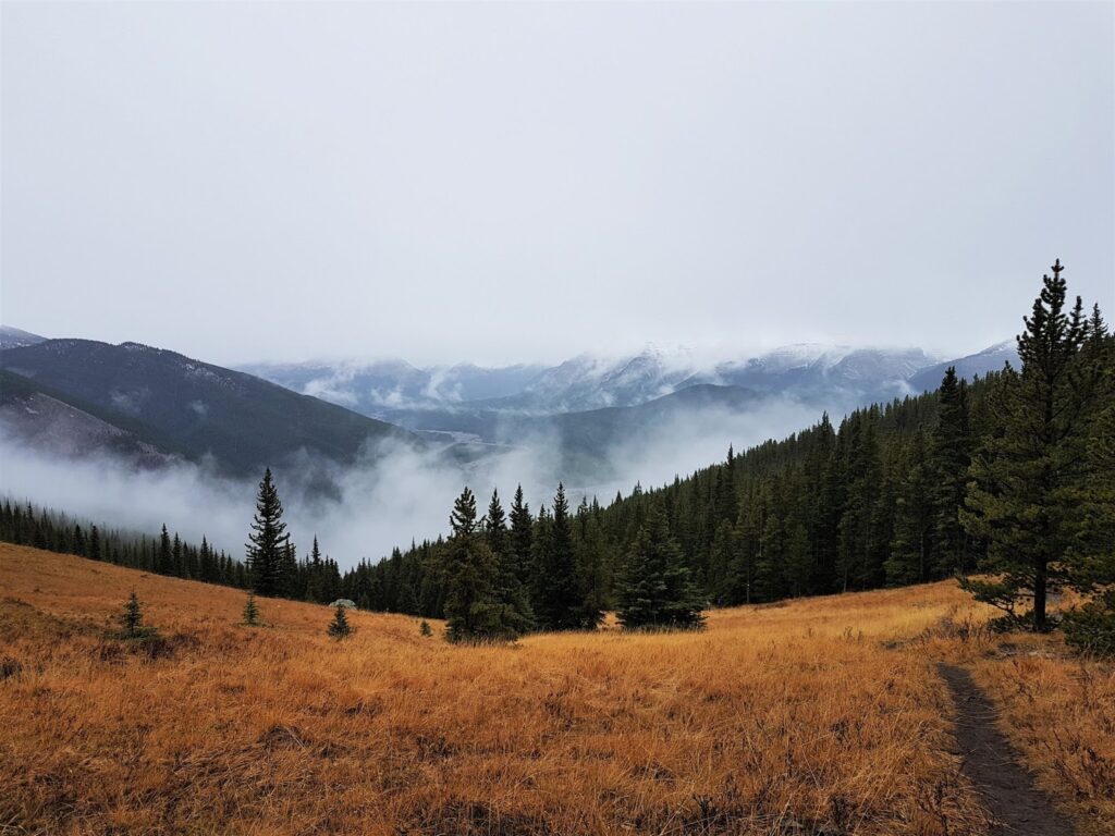 |
| Looking back at how far we’ve climbed |
 |
| View from Sunrise Hill |
If everyone’s still feeling good, continue straight until you reach a big cairn, then turn left. The trail rolls a bit before continuing upward and is quite deceiving. Just when you think you will never reach the top because you’re not gaining elevation, the trail suddenly veers left and within minutes you have panoramic views.
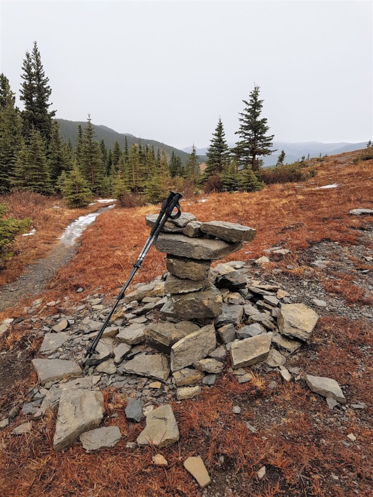 |
| The trail on the left goes to Powderface Ridge |
Explore the ridge – it’s higher to the north – but stay well back from the edge if snow covered as cornices (unsupported snow ledges) can break off at any time. Head back the way you came, keeping an eye out for the large cairn marking the way down.
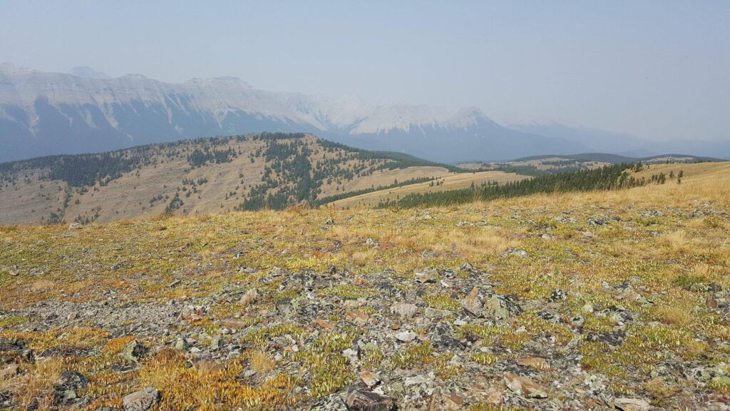 |
| Powderface Ridge Image Credit: Sarah McLean, Rockies Girl |
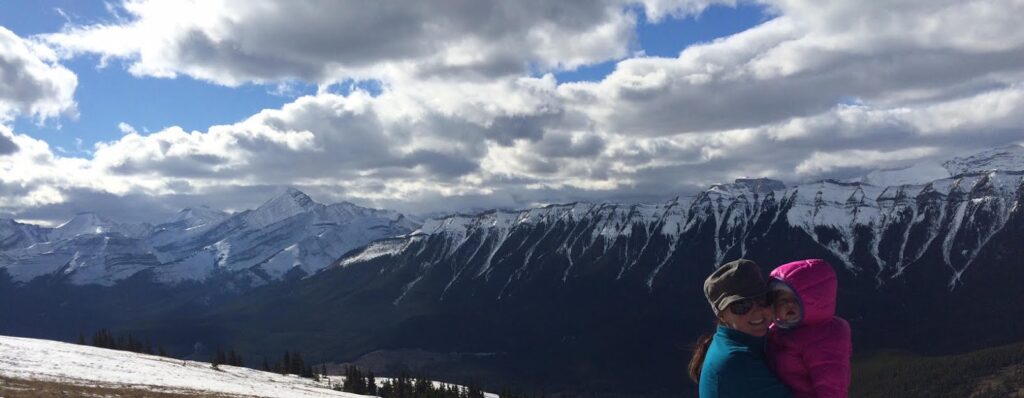 |
| View from Powderface Ridge; Nihahi Ridge in background Image Credit: Robin Zielke |
Powderface Ridge at a Glance
Distance: 4.8 km one way to ridge (add 6.9 km and 50 m elevation gain to ridge summit)
Elevation Gain: 350 metres
Time: Allow 3-4 hours at a moderate pace, including a lunch break; longer with kids.
Stroller Friendly: No
Directions from Bragg Creek: Take Hwy 22 South. At the 3-way intersection, turn right onto Hwy 66. Continue on Hwy 66 for 27.5 kilometres. Park at the junction of Hwy 66 & Powderface Trail in the pullout on the right side of the road. **There is no sign at the pullout.** The trailhead is straight up the grassy hill on the same side of the road.
Going Further: It is possible to make a loop via Powderface Creek /Prairie Link / Prairie Creek Trails for a longer hike. For more information, please see the Bragg Creek & Sheep Valley Gemtrek Map (Amazon Affiliate link) or Kananaskis Country Trail Guide Vol. 2 (Amazon Affiliate link).Note there is a Seasonal Road Closure (Hwy 66 winter gate just past Elbow Falls) from December 1 – May 14.
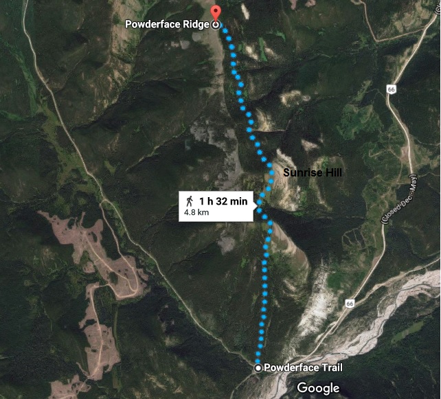 |
| Powderface Ridge Map Image Credit: Google Maps |
Things to Bring
 |
| Pin me! |
More Hikes You Might Like
The Best Short Hikes Near Calgary
Prairie View Trail, Bow Valley Provincial Park
Prairie Mountain, Elbow Valley
Sunrise Hill, Elbow Valley
Midnight Peak (near Barrier Lake)


