Hike 2 km to a pretty picnic area at the top of Mesa Butte, half an hour south of Bragg Creek, in Kananaskis PLUZ.
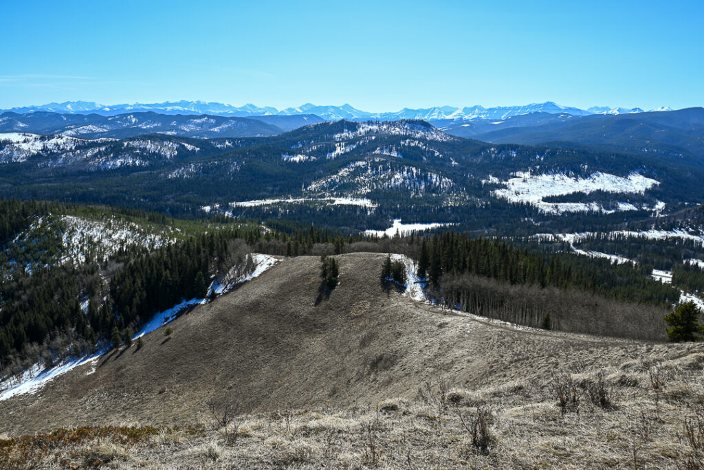
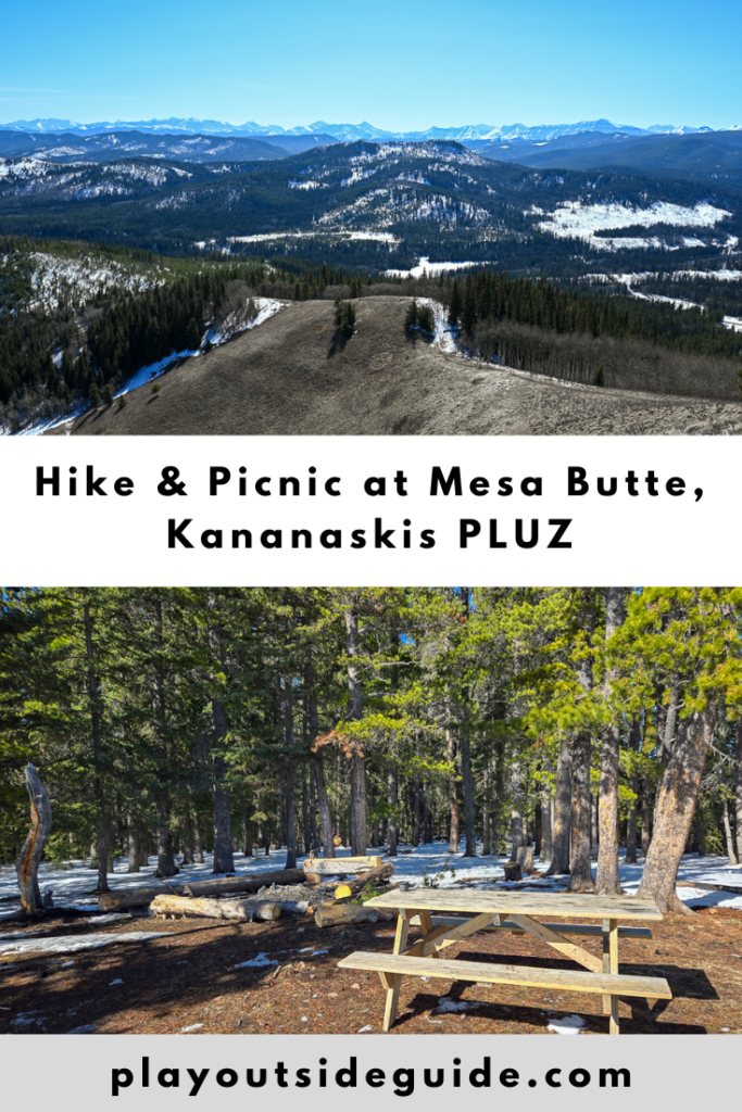
For a rewarding little hike with a picnic table and firepit at the top, hike to Mesa Butte in Kananaskis Public Land Use Zone (PLUZ)! This short, unofficial trail is well marked and offers fantastic views of South Kananaskis. You can even see downtown Calgary from the summit! While it’s only 2 km to the top from Mesa Butte Equestrian Campground, the last 800 metres up the Mesa Grind are steep and reminiscent of Prairie Mountain.
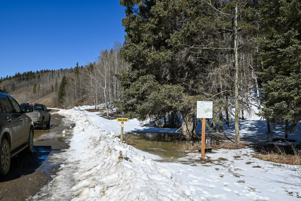
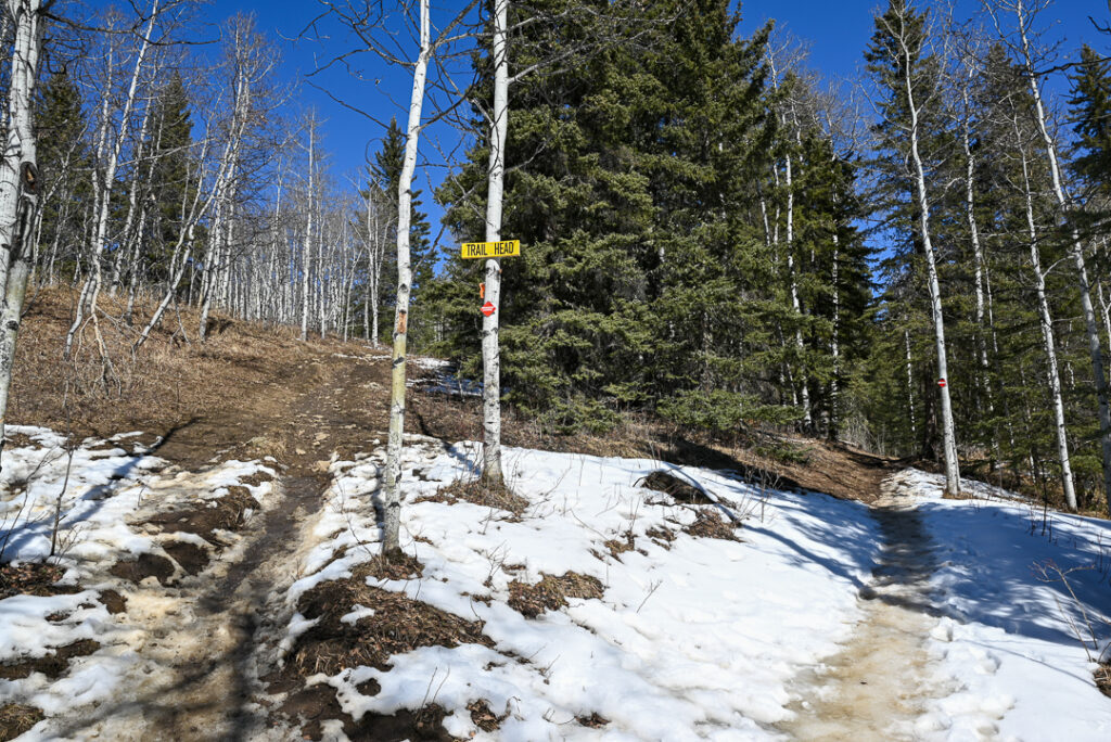
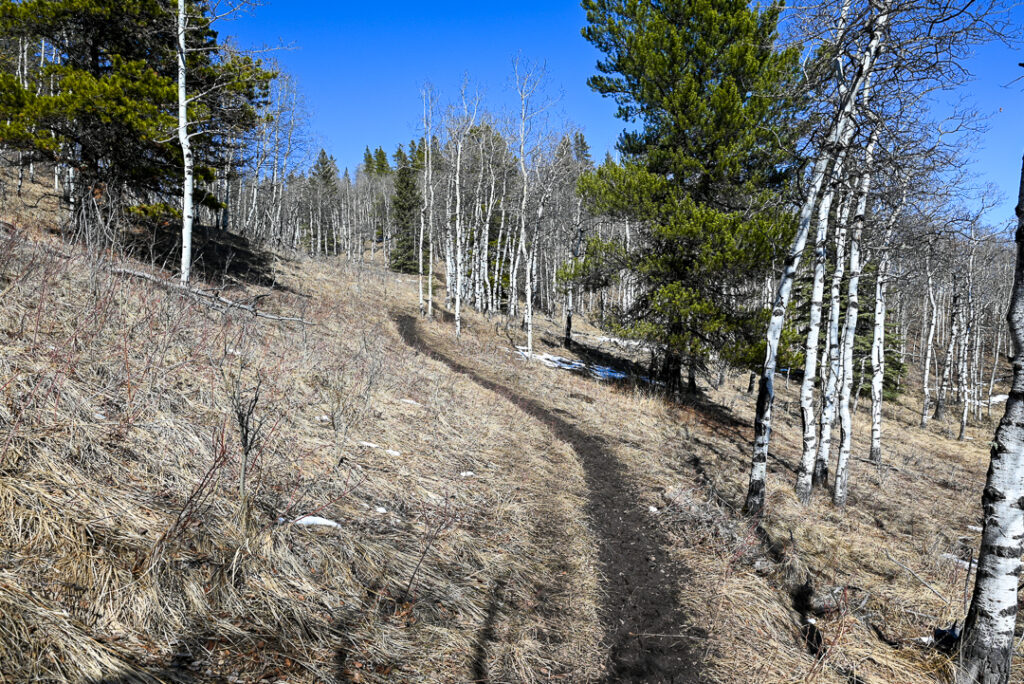
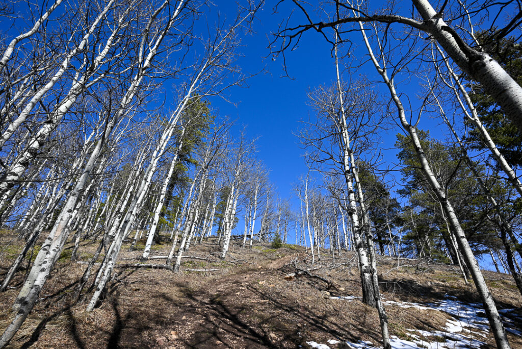
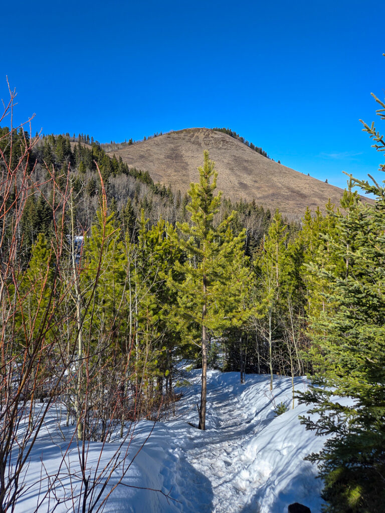
The trail immediately goes uphill through aspens (you can’t miss their white trunks with black spots on them), then meanders back and forth a few times until the Curley Sands Connector / Curley Sands Junction. Go left at the junction, and continue uphill through mixed forest to the ridgetop. As you ascend, the trail gradually reveals sweeping views of rolling foothills and distant peaks. In late spring and early summer, wildflowers bloom in the meadows.
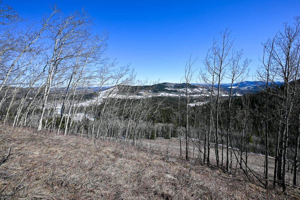
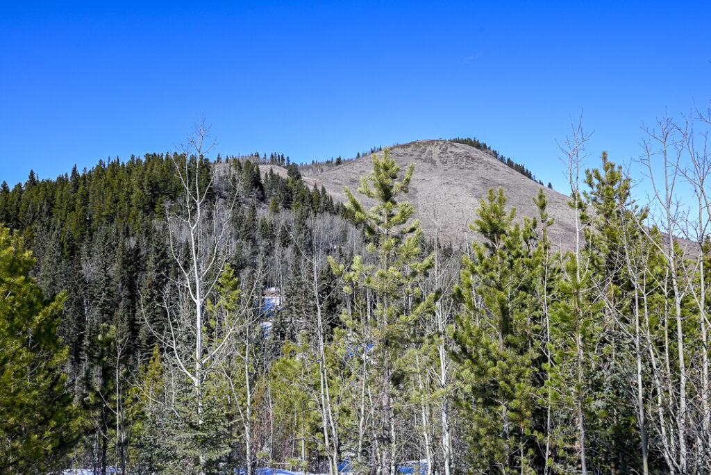
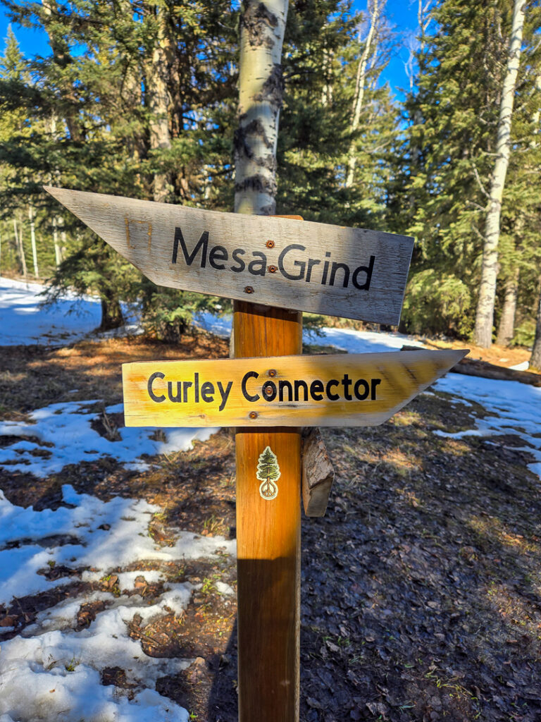
When the trail starts to go down, you’re almost at the Curley Connector/Mesa Grind Junction, 1.2 km from the start. Go left here for Mesa Grind and the summit. From here, it’s 800 metres to the top with 150 metres of elevation gain. It’s pretty steep, but doesn’t take long. And best of all, you can sit down at the top!
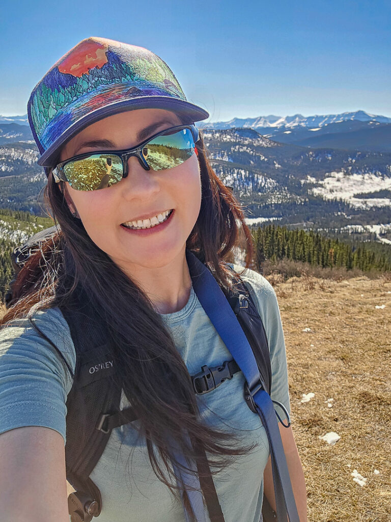
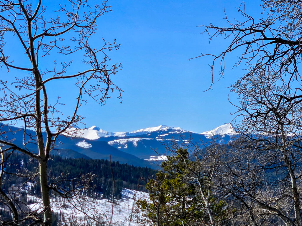
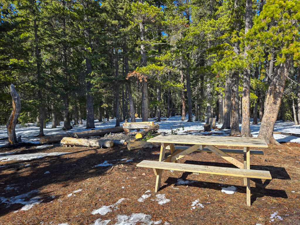
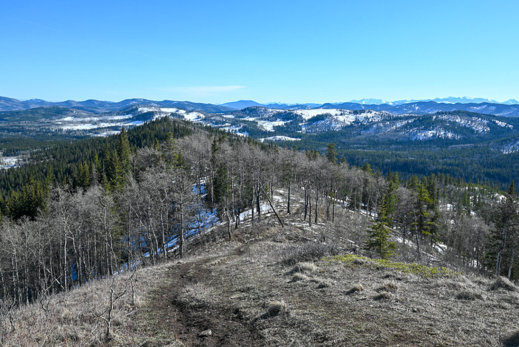
The summit view is pretty satisfying, especially since it doesn’t take long to get there. Soak in vistas of Kananaskis Country to the west, and downtown Calgary to the east, then continue on to the picnic area. A picnic table and large firepit with logs around it are partially sheltered by lodgepole pine trees. Listen to woodpeckers and watch ravens soaring on the thermals, and go back the way you came.
BE FIRE SMART: If you choose to have a fire, you must bring your own firewood (burning deadfall isn’t permitted) and have plenty of snow or water (bring your own – there is no creek/pond at the top) to put the fire out. Check Alberta Fire Bans before you go, and avoid having a fire if conditions are dry and/or it’s very windy.
Table of Contents
Mesa Butte Trail at a Glance
- Distance: 4 km round trip (1.2 km / 170 m elevation gain to Mesa Grind Junction; 800 m / 150 m elevation gain from Mesa Grind Junction to top of Mesa Butte)
- Elevation Gain: 320 metres
- Sports stroller friendly? No
- Nearest washrooms? Pit toilets at Mesa Butte Equestrian Campground
- Parking: Park on the side of the road across from Mesa Butte Equestrian Campground (Google Maps pin)
- Trailhead: Across from the north end of the equestrian campground, you will see a trail going uphill through aspen trees. The trailhead is on the right side of the road (if coming from Calgary/Bragg Creek), PAST the AB Parks trail map.
Going Further: It’s possible to make an 8 km out and back hike from the start of Curley Sands Trail, or make a longer loop with Mesa Traverse and Mesa Back Door.
Getting Here
Park on the side of the road across from Mesa Butte Equestrian Campground (Google Maps pin). 75 km/1 hour from Calgary, and 35 km/30 mins south of Bragg Creek.
Know Before You Go
- A Kananaskis Conservation Pass is NOT required for this trail as it is in the Kananaskis Public Land Use Zone.
- You are in bear territory! Read our Bear Safety Tips and keep bear spray accessible (NOT IN YOUR BACKPACK) just in case.
- There is spotty cell phone service from the top of Mesa Butte; no cell service on the trail.
- Please keep your dog on a leash and pack out its poop.
- Also, please pack out all trash!
What to Bring
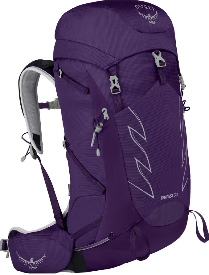
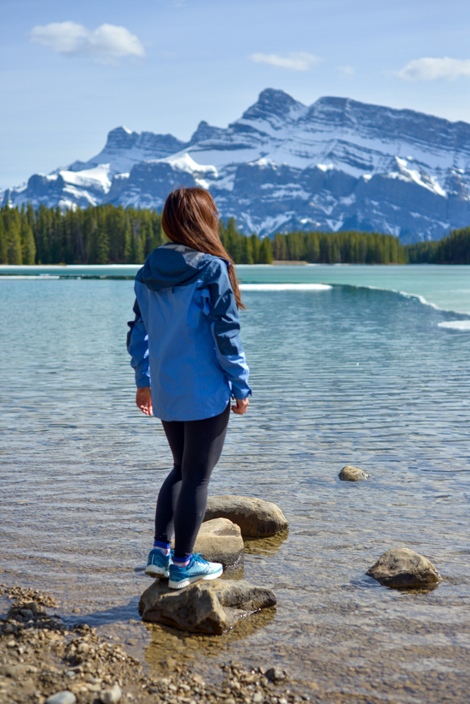
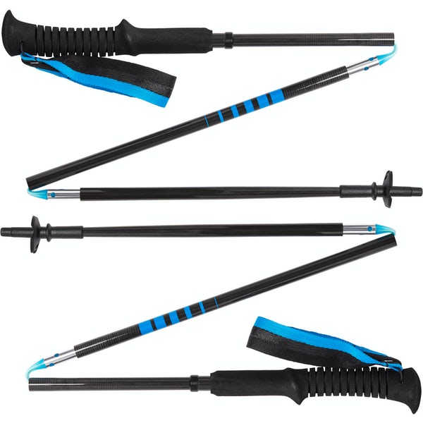
Disclosure: This section includes affiliate links through which I earn a commission on qualifying purchases at no extra cost to you.
Waterproof mid-height hiking boots, a down hoody or fleece, toque, gloves, and windproof/waterproof shell are recommended year round. Trekking poles are useful for long hikes, steep descents, or when you’re carrying a fully-loaded backpack (or are babywearing). You should also carry The Ten Essentials including: water, extra food, extra clothes, a first aid kit, headlamp, GPS / compass / Garmin inReach Mini 2 satellite communicator* and map of the area, mineral sunscreen, bug spray (this DEET-free insect repellent contains 20% icaridin and will repel ticks), and bear spray. Carry bear spray in a Bear Spray Holster or Scat Griz Bear Spray Running Belt.
*A Garmin inReach Mini 2 satellite communicator is highly recommended for contacting Search & Rescue and emergency contacts in the event of an emergency, or communicating with friends and family when you are out of cell phone range. You can send text messages and your GPS coordinates via satellite, but a monthly service plan is required.
In snowy/icy conditions, traction devices such as Kahtoola Microspikes (Available from Amazon, MEC, and Valhalla Pure Outfitters), or Hillsound Trail Crampons (Available at Valhalla Pure Outfitters and Sport Chek) are recommended. See our Fall/Winter Hiking Gear Guide for recommended clothing and gear.
More Hikes You Might Like
- The Best Short Hikes Near Calgary
- The Best Short Trails in Kananaskis
- The Best Short Hikes in Banff
- 20+ Super Scenic Trails in Alberta
- 25+ Waterfall Walks & Hikes in Alberta


