Wasootch Ridge is a scenic, undulating trail in Kananaskis that is popular in spring because it’s one of the first snow-free trails near Calgary. Most hikers turn back at the cairn (5th peak), but experienced scramblers can continue on to peaks 6 & 7 when the trail is dry.
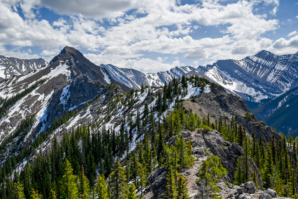
With its proximity to Calgary, short approach, and long hiking season, Wasootch Ridge is a popular shoulder season hike. Whether you hike to the cairn or scramble to the true summit, you can enjoy fantastic views as soon as you get above treeline (in 20-30 minutes). The trail is best hiked from May to October, but be prepared for lingering snow patches until June, and pack microspikes and trekking poles just in case. Late June until mid July is a great time of year to see wildflowers on Wasootch!
Did You Know? Wasootch Ridge’s name comes from the Stoney Nakoda word wazi, which means unique 1.
Table of Contents
Wasootch Ridge Route Description
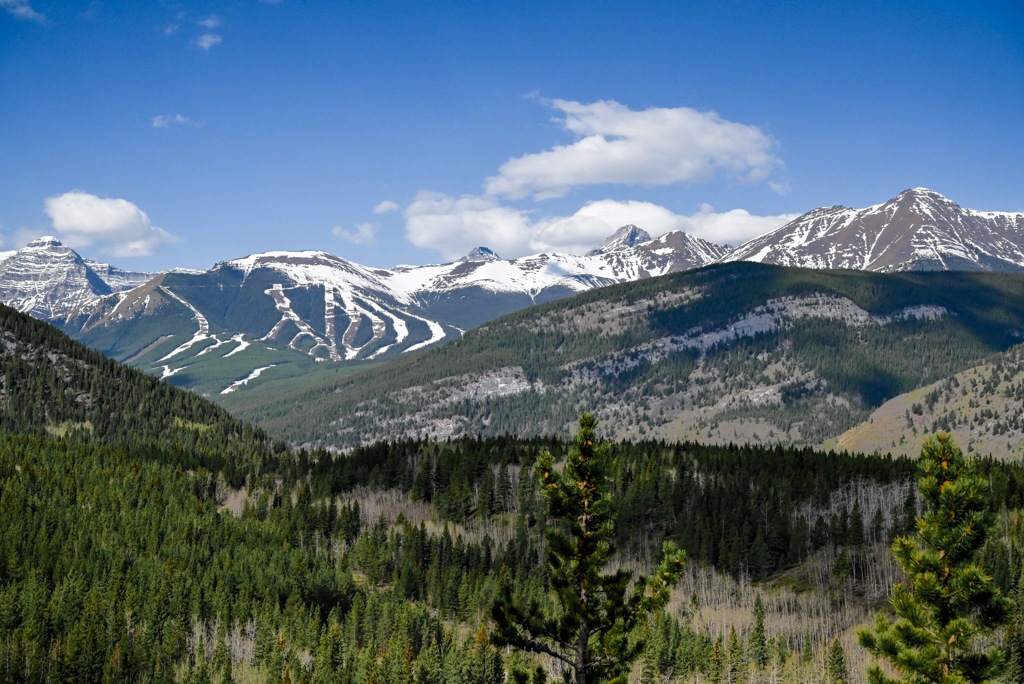
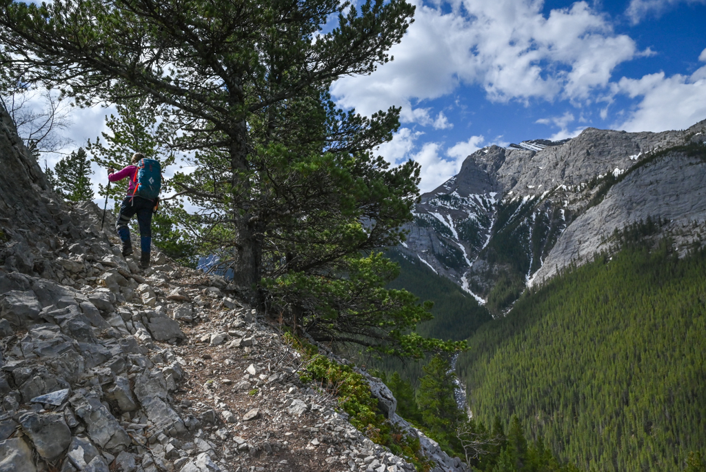

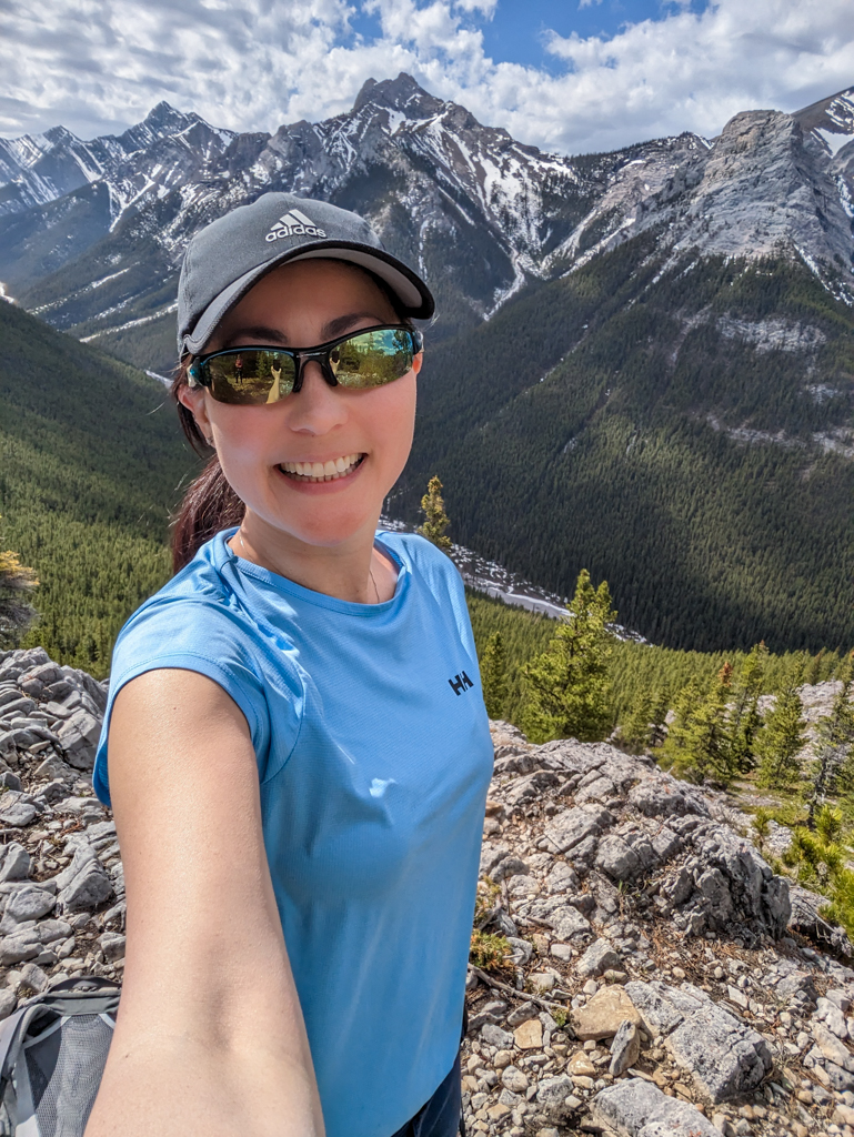
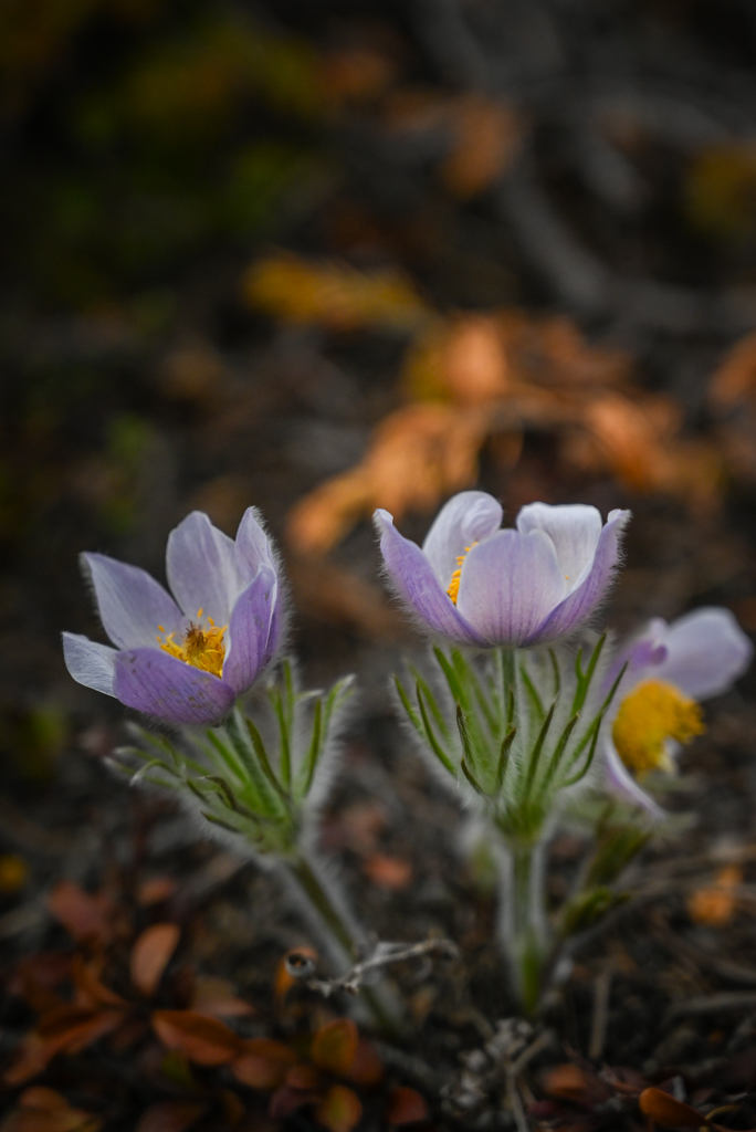
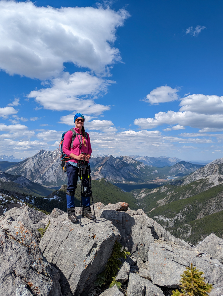
From the Wasootch picnic area on the east side of the parking lot, take the unmarked rocky trail behind the picnic tables. You’ll know you’re in the right place, if you go straight uphill immediately (the flat trail going east along the base of the ridge goes to neighboring Porcupine Ridge). This first section is the steepest, gaining 323 m elevation over 1.6 km, but the views open up quickly as you gain elevation. Look right at Nakiska Ski Area and Mount Allan, and left at brilliantly blue Barrier Lake.
Catch your breath at the first “summit”, then continue on to Peak 2 (1.2 km, 104 m elevation). Porcupine Ridge and Midnight Peak are to your left, and Kananaskis Peak is on your right. The next two bumps are closer together on a flatter section, so you can make good time through here… or go slowly taking photos like I did! I figure I worked hard to get above treeline, so I might as well enjoy it!!
Peak 5, marked with a large cairn, is the turnaround point for most folks. Enjoy the views and return the way you came.
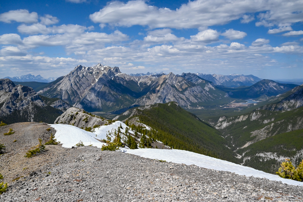
Warning: The scramble (after Peak 5) should not be attempted by novices, or in poor trail/weather conditions!
Going Further: After the cairn, the ridge walk turns into a scramble and you need to pay attention to where you’re going (rather than just go straight). Bob Spirko has a good route description of the Wasootch Ridge scramble on his site, with photos for clarification. TL;DR: At the rock “fin,” downclimb to the left to go around it. After the rocky windbreak, drop down to the right of the cliffs until you reach a small cairn. Go left to regain the ridge at the “notch”, taking care as it’s easy to slide on the scree. Next, continue straight up the ridge crest (not recommended on a windy day) or descend to the scree path on the left side of the ridge crest and follow it to the top.
Return the way you came; it’s the safest and most straightforward way back.
Wasootch Ridge at a Glance
- Distance: 5.2 km, 750 m elevation gain to cairn / 13.4 km, 940 m elevation gain to summit
- Trail type: Unofficial, unmarked
- Parking: Wasootch Day Use
- Trailhead: Unmarked, rocky path behind the picnic table. If you go straight uphill right away, you’re on the right path.
- When to go: May to October
Getting Here
The Wasootch Ridge trailhead is located at Wasootch Day Use Area (click for Google Maps pin) on Highway 40 S in Elbow-Sheep Wildland Provincial Park.
Know Before You Go
- A Kananaskis Conservation Pass is required to park in Kananaskis. Purchase your pass online from the Government of Alberta.
- You are in bear territory. Review our Bear Safety Tips and keep bear spray accessible.
- Dogs must be kept on a leash.
- Pack out all trash and dog poop.
- Wasootch Ridge is known locally as “Tick Mountain” because of the high number of ticks you can pick up here in spring (likely due to herds of bighorn sheep in the area). To protect yourself from ticks, cover up, use an insect repellent with 20% icaridin or 30% DEET, and do frequent tick checks. Remove ticks as quickly as possible – and remove them properly to reduce the risk of disease transmission. See our Tick Safety Tips and Effective Tick Repellents and How to Use Them stories for details.
- The ridgetop can be cold and breezy, and the trail can be icy in shoulder season. See our pack list below for recommended gear.
What to Bring
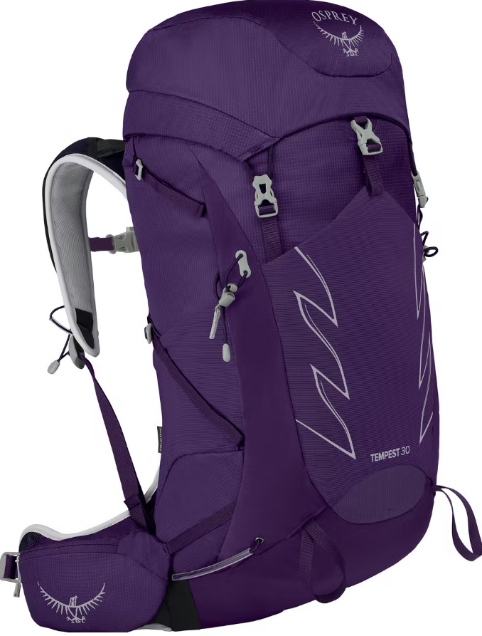
Disclosure: This section includes affiliate links through which I earn a commission on qualifying purchases at no extra cost to you.
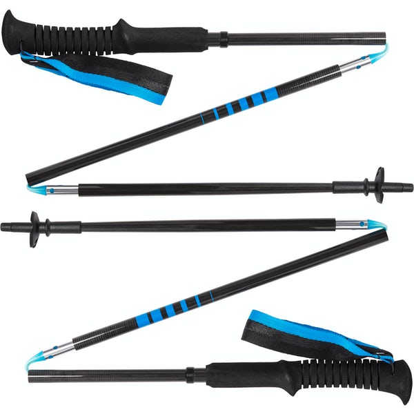
Waterproof mid-height hiking boots, a down hoody or fleece, toque, gloves, and windproof/waterproof shell are recommended year round. Trekking poles are useful for long hikes, steep descents, or when you’re carrying a fully-loaded backpack (or are babywearing). You should also carry The Ten Essentials including: water, extra food, extra clothes, a first aid kit, headlamp, GPS / compass / Garmin inReach Mini 2 satellite communicator* and map of the area, mineral sunscreen, bug spray (this DEET-free insect repellent contains 20% icaridin and will repel ticks), and bear spray. Carry bear spray in a Bear Spray Holster or Scat Griz Bear Spray Running Belt.
*A Garmin inReach Mini 2 satellite communicator is highly recommended for contacting Search & Rescue and emergency contacts in the event of an emergency, or communicating with friends and family when you are out of cell phone range. You can send text messages and your GPS coordinates via satellite, but a monthly service plan is required.
In snowy/icy conditions, traction devices such as Kahtoola Microspikes (Available from Amazon, MEC, and Valhalla Pure Outfitters), or Hillsound Trail Crampons (Available at Valhalla Pure Outfitters and Sport Chek) are recommended. See our Fall/Winter Hiking Gear Guide for recommended clothing and gear.
References
- Boles, G. W., Laurilla, R. W., & Putnam, W. L. (2006). Canadian Mountain Place Names. Rocky Mountain Books.
Related Posts
- Hike Centennial Ridge to Mount Allan’s summit
- King Creek Ridge, Kananaskis
- Rawson Lake and Rawson (aka Sarrail) Ridge, Kananaskis
- Burstall Pass, Kananaskis


