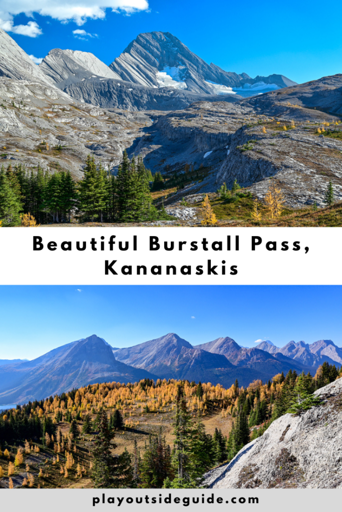
Hike through the woods and alpine meadows to beautiful Burstall Pass in Kananaskis Country.
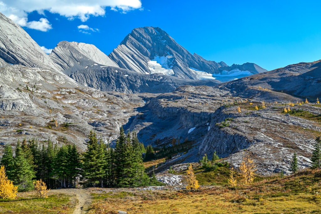
With views of the Robertson Glacier and Mount Assiniboine, wildflowers in summer, and larches in fall, it’s easy to see why Burstall Pass is so popular! Although the hike is on the longish side, its moderate elevation gain makes it a lot easier than nearby Tent Ridge. To shave off some time, mountain bike the first 2.7 km to the bike racks. Some creek crossings are required, but by late summer, the water’s so shallow, you won’t get your feet wet.
Burstall Pass Route Description
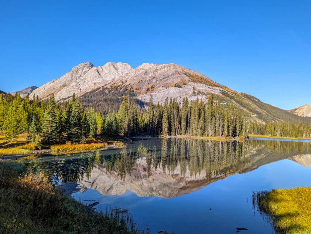
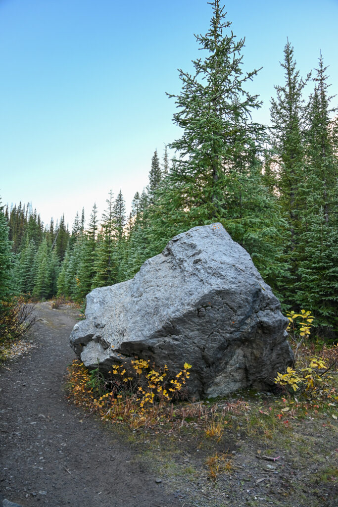
From Mud Lake, head left on the old logging road. After about 400 metres, you’ll reach a fork in the trail marked with a hiking sign. Take the smaller trail at right. Continue past the boulder and two small lakes (Burstall Lakes) before reaching the bike rack at 2.7 km. Note: bikes are not permitted past here.
From this point on, you’ll be traveling on a narrow single-track trail. Keep an eye out for wildlife! We saw several grouse, a woodpecker, and a weasel in the woods. It’s also a good idea to holler “Yo bear!” from time to time as there are a lot of bears in the area.
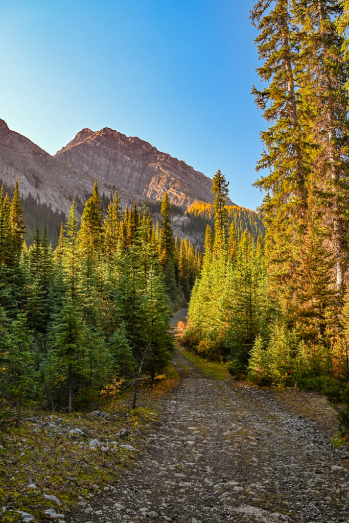
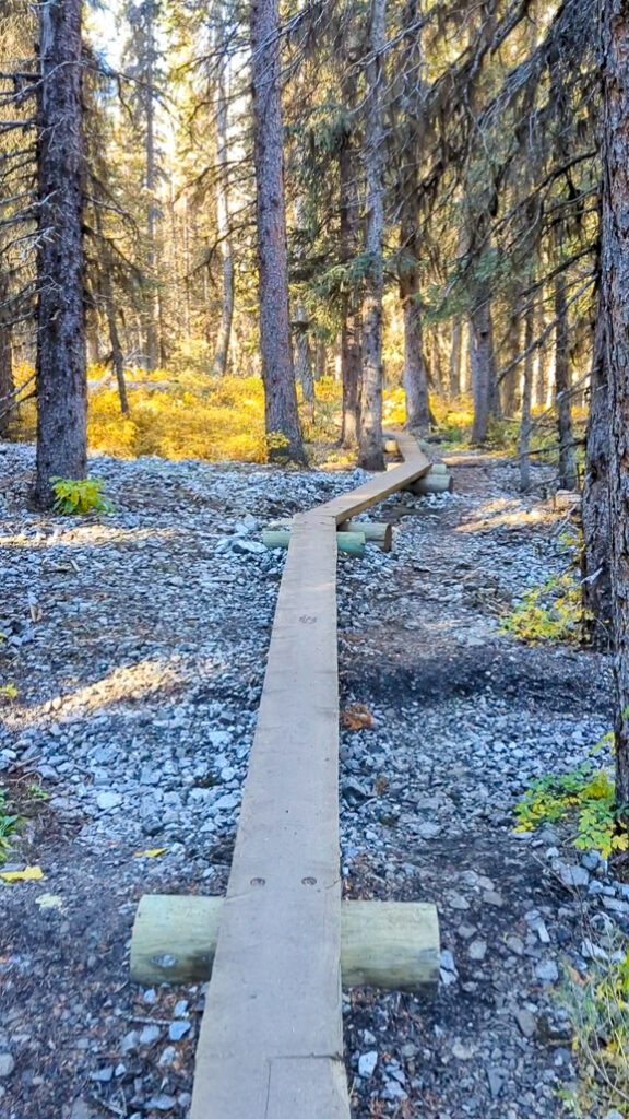
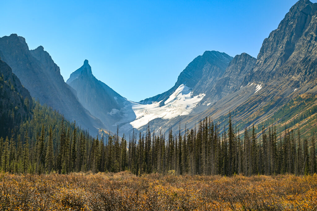
After passing the third small lake and a marshy area, you will cross a narrow boardwalk. Next, you’ll cross a small footbridge over Burstall Creek, and enter the Willow Flats which is criss-crossed by a braided stream. Take in the sight of Robertson Glacier to the left/south, and filter water if you need a refill. At this point, 4.2 km from the start, you are more than halfway to the pass but still have almost 350 metres of elevation gain ahead of you.
Follow the sign markers across the 500 metre stretch of gravel flats, and look for shallow creek crossings. In October, the water was extremely low, so we kept our feet dry balancing on a couple logs and walking through inch-deep water. In early summer however, bring hiking sandals and be prepared to wade.
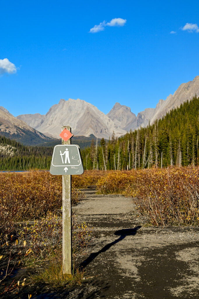
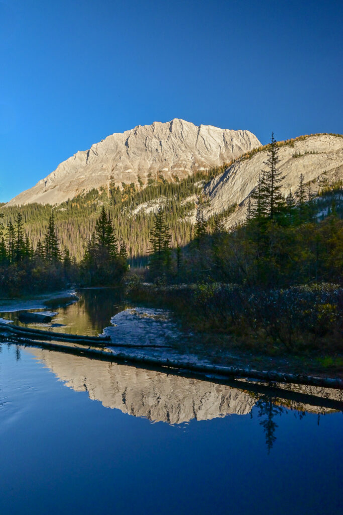
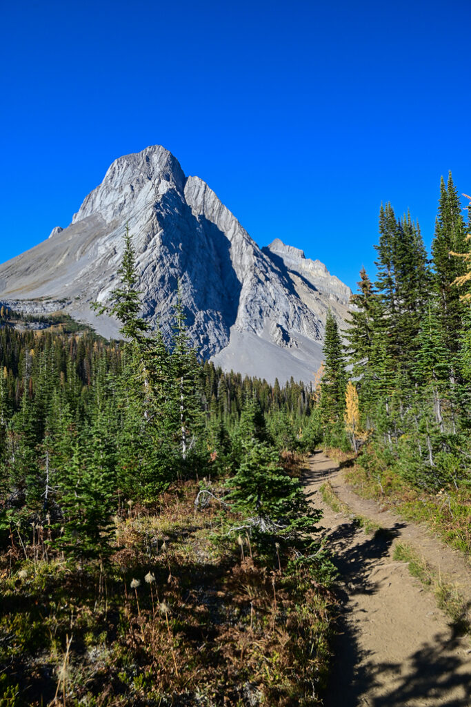
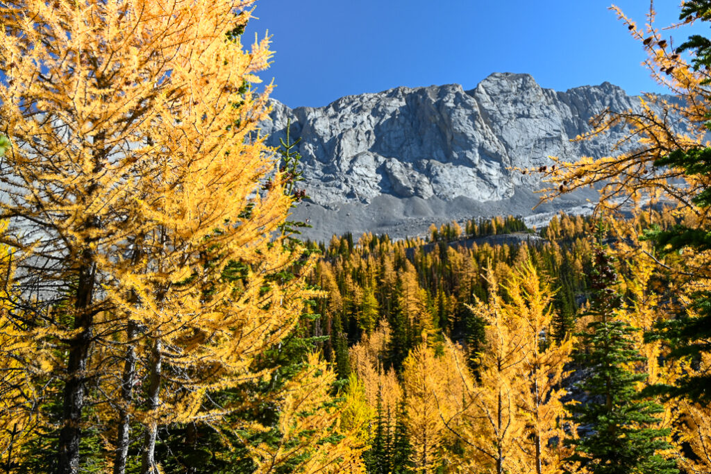
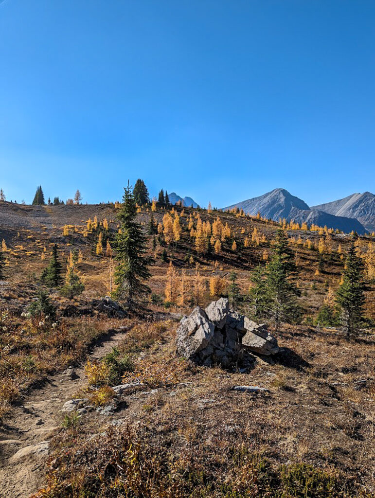
Continue through the trees on the other side, but don’t worry – in less than a kilometre, you’ll leave most of the trees behind. Around 5.5 kilometres from the trailhead, you enter alpine meadows dotted with larches and western anemones (hippie heads in autumn). The larches turn a vibrant shade of yellow come fall, and usually peak in the third week of September.
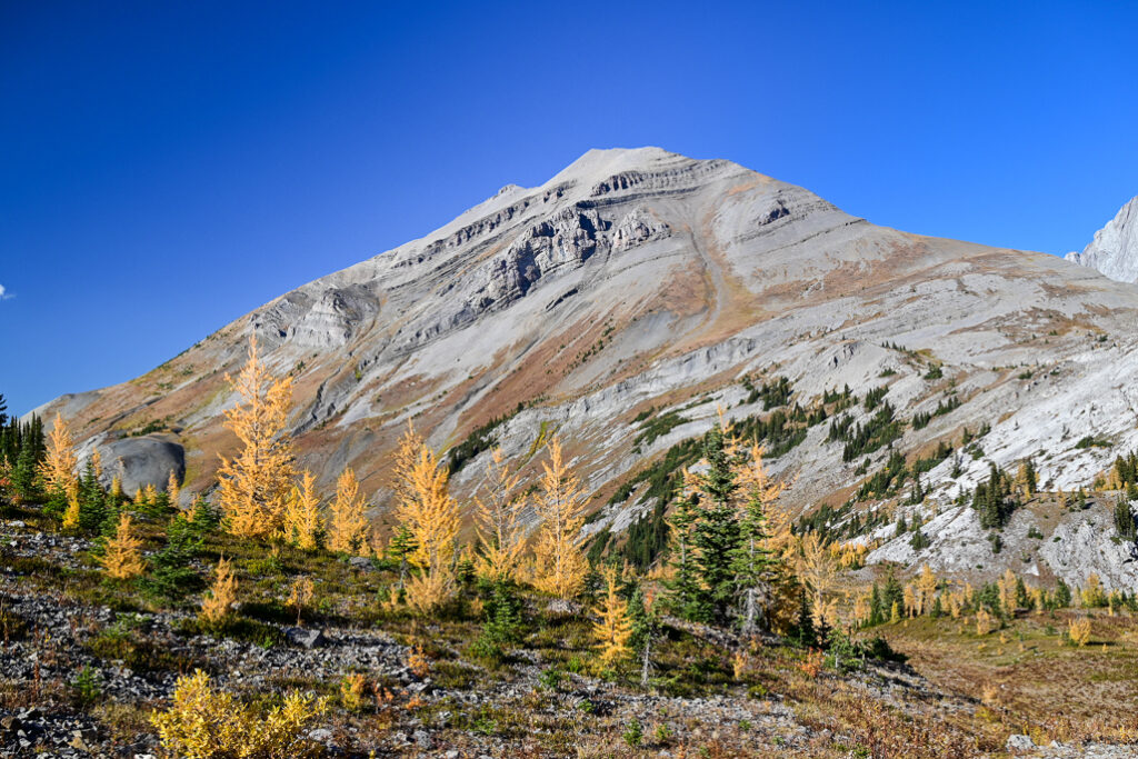
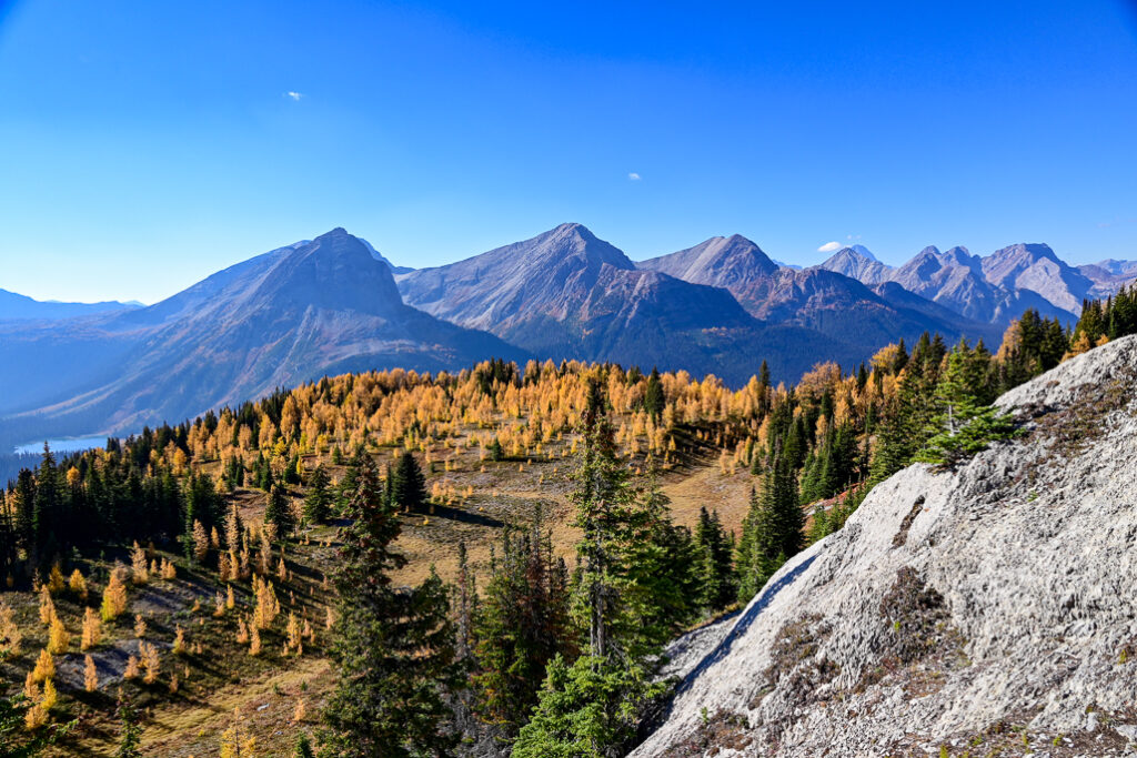
Climb steadily for the next 1.9 kilometres to the pass. You’ll know you’re there when you reach a scenic “plateau” with sweeping views of Mount Birdwood and Commonwealth Peak to the north, Mount Burstall to the right, and Mount Sir Douglas & Robertson Glacier to the south. While this vista is pretty satisfying, I highly recommend going 700 metres further to Leman Lake Viewpoint on the west side of the pass. To get there, continue up the hill and take a left at the Park Boundary sign to enter Banff National Park. Follow the path between Snow Peak and Whistling Rock Ridge, then head left at a cairn for the viewpoint. If you’re lucky like we were, you’ll have this scenic spot all to yourselves!
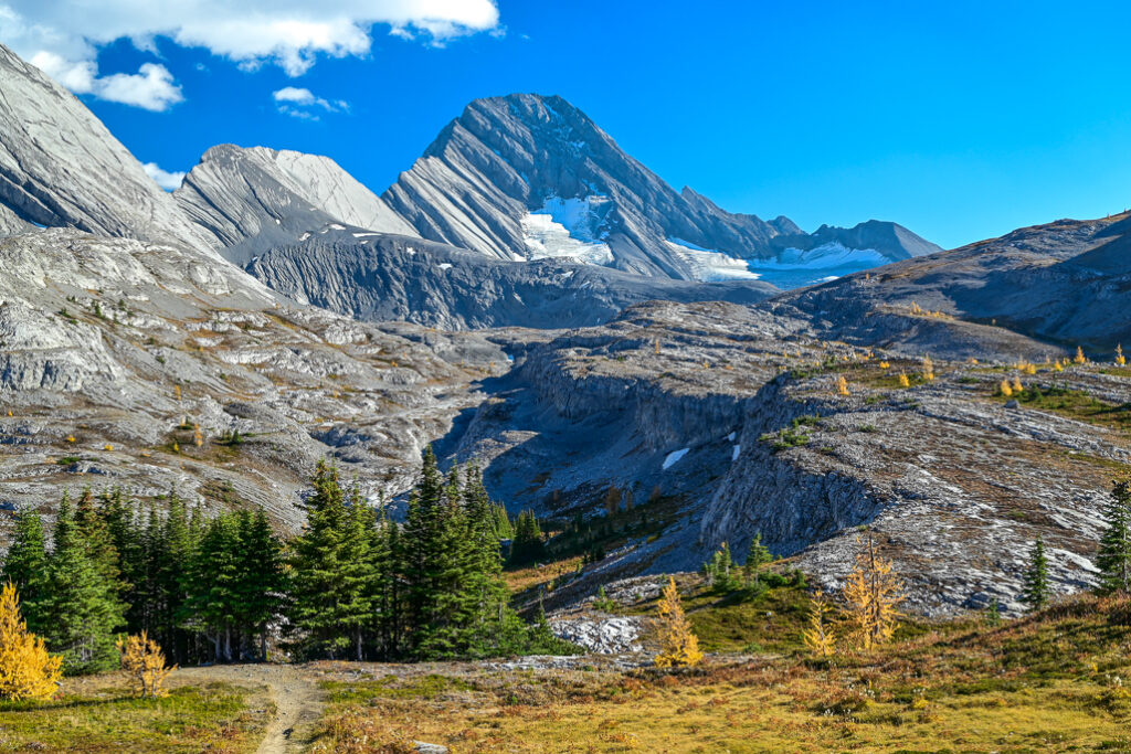
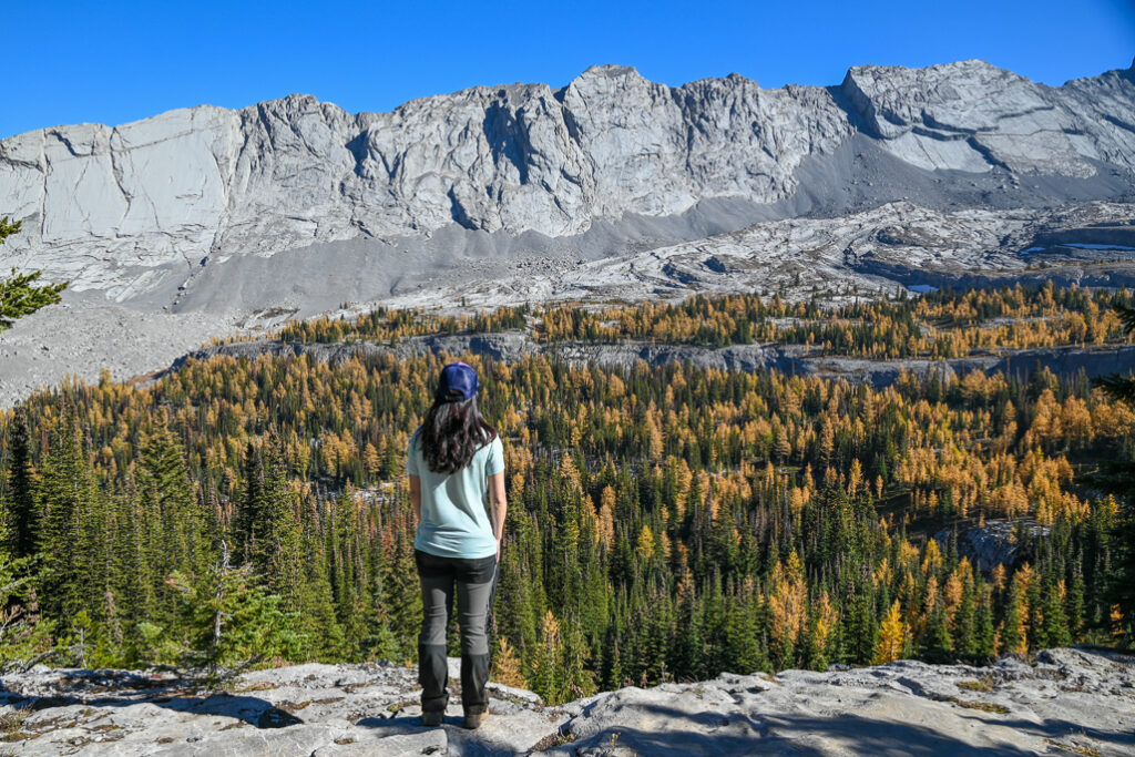
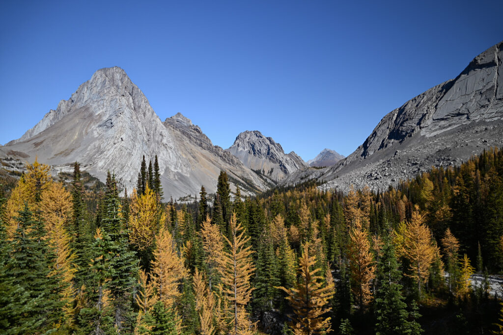
If you have a map and are good at route-finding, it’s possible to scramble up Snow Peak or South Burstall Pass from Burstall Pass.
Return the way you came.
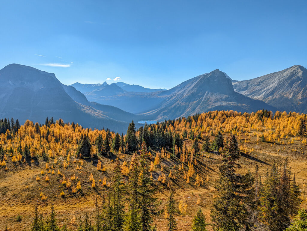
Burstall Pass at a Glance
- Distance: 7.4 km to Burstall Pass / 8.1 km to Leman Lake Lookout
- Elevation gain: 480 metres to Burstall Pass / 510 metres to Leman Lake Lookout
- Difficulty: Moderate
- Routefinding: The trail is confusing in a couple spots, so read & print directions, and carry a map of the area.
- Parking: Burstall Pass Day Use
- Nearest washrooms: Burstall Pass Day Use
When to Go
The best time to hike Burstall Pass is late June through October provided there is no avalanche danger.
Despite what some other blogs will tell you, BURSTALL PASS IS NOT A SPRING HIKE!! There’s a reason this part of Kananaskis is called “the snow belt” (it gets a sh*t-ton of snow, over 2 metres, that lasts almost til summer) and avalanche skills training courses are held here. As you can see from this backcountrypost trip report from April 1, 2017, March is still ski season at Burstall Pass. Traveling through this area in winter conditions requires AST2 Avalanche Skills Training, avalanche gear, and favorable avalanche report and weather.
Getting Here
Burstall Pass is approximately 2 hours from Calgary on Spray Lakes Road/Smith-Dorrien Trail: Google Maps directions
Know Before You Go
A Kananaskis Conservation Pass is required to park in Kananaskis. Purchase your pass online from the Government of Alberta.
We do not recommend this trail in winter conditions as there is extreme avalanche danger. When we snowshoed Hogarth Lakes Loop (shares trailhead with Burstall Pass), we saw and heard several avalanches.
You are in prime grizzly bear territory! Learn how to stay safe in bear country with our Bear Safety Tips for Hikers and keep your dog on a leash (It’s a ticketable offense to have dogs offleash in provincial parks).
What to Bring
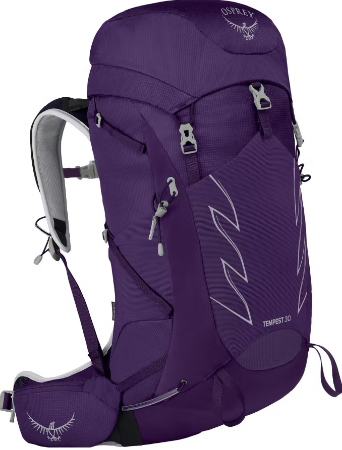
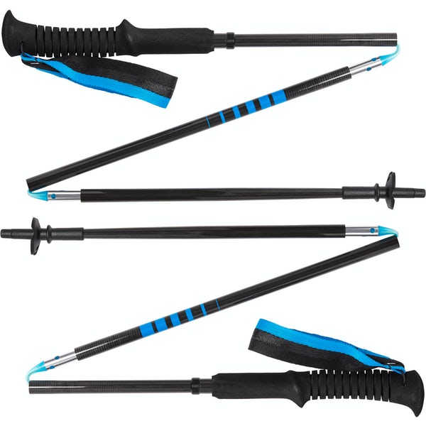
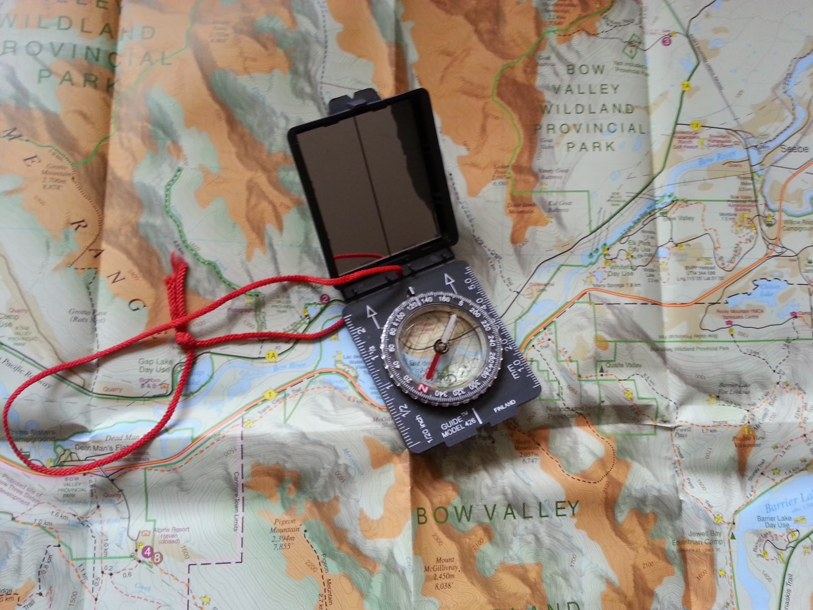
Disclosure: This section includes affiliate links through which I may earn a small commission at no extra cost to you. Thank you for supporting our website!
Good hiking boots, a down hoody/fleece, gloves, and windproof/waterproof shell are must-haves. Trekking poles are recommended for the descent, especially if you have a heavy pack.
You should also carry The Ten Essentials including: water, extra food, extra clothes, a headlamp, a GPS/compass and topographic map of the area, bug spray (this one contains 20% icaridin and will repel ticks), sunscreen (this one is safe for babies), and bear spray. Carry bear spray in a Frontiersman Bear Spray Holster (attaches to your backpack or belt), or Scat Belt.
More Kananaskis Trails You Might Like
- Chester Lake
- King Creek Ridge
- Little Lougheed
- Rawson Lake and Sarrail Ridge
- South Lawson Peak (aka Little Lawson)
- Tent Ridge Horseshoe


