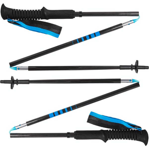
For a short hike to a spectacular viewpoint, King Creek Ridge is hard to beat! Bring hiking poles for the descent as it is super steep.
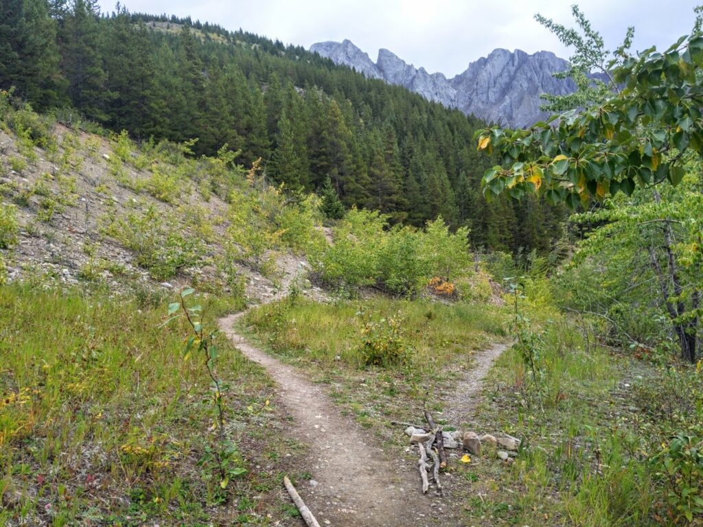
King Creek Ridge has been on my bucket list for years, but I was always put off by the description on my old Gemtrek map: “Good luck in finding the best route up to King Creek Ridge.” There is now a well beaten path to the summit… or paths… Although there is some trail braiding, all trails lead to the top (except for the ones blocked off with logs, don’t use those).
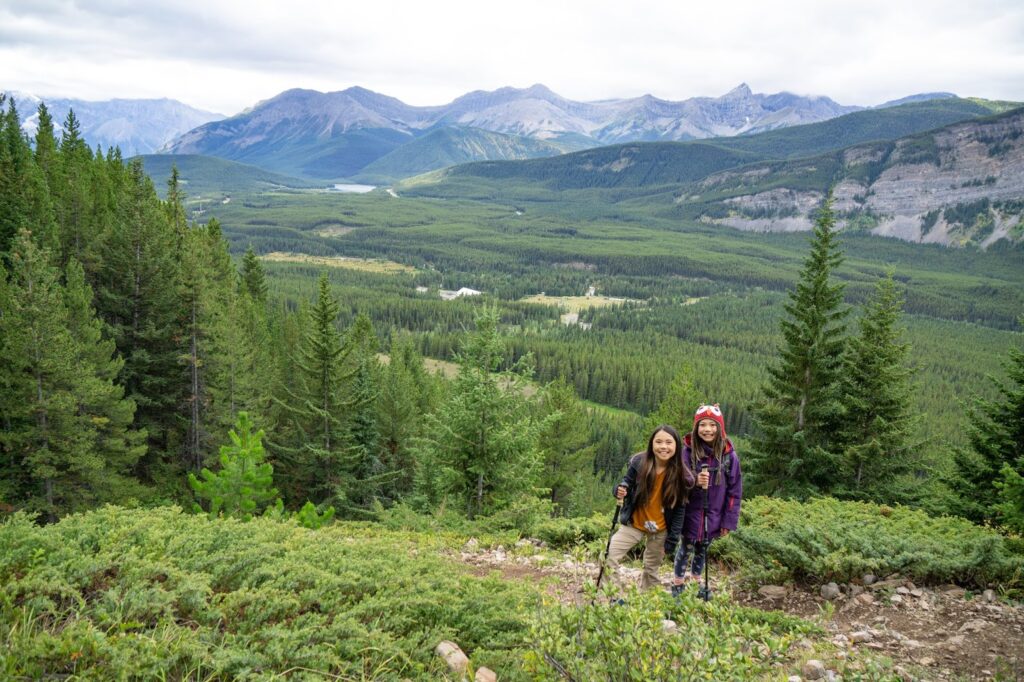
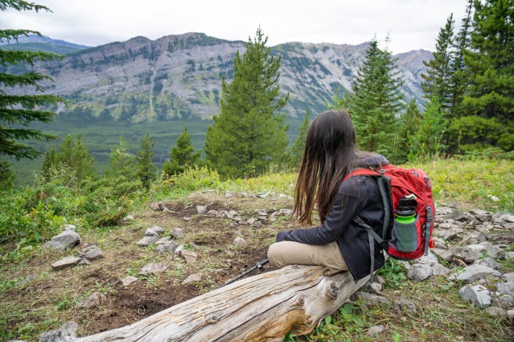
Table of Contents
King Creek Ridge Route Description
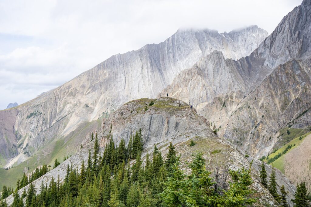
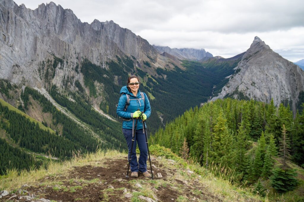
The trail begins near Highway 40, across the creek (see below for directions) in mixed forest. Aspens take over for a while, then the trees give way to grass, and then you go back to evergreens. It is relentlessly steep, but mercifully short, so even if you take several snack breaks like we did, it is only a couple hours to the top (1.5 hrs for a group of adults that passed us). There is a lot of loose rock, so we were glad to have hiking poles and good hiking boots.
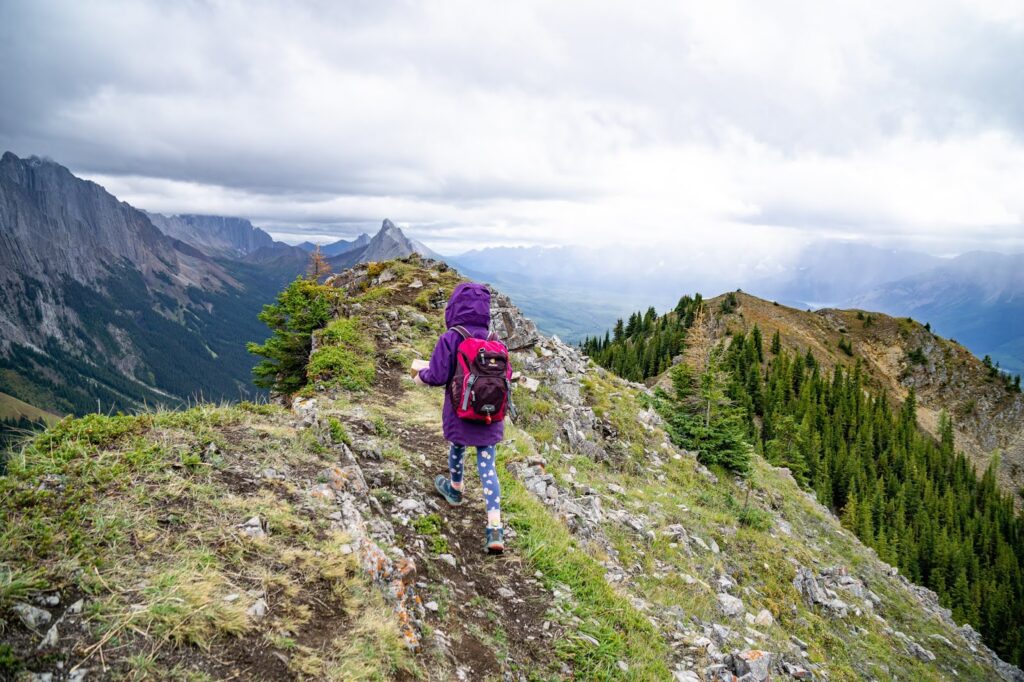
At the ridgetop, take note of the cairn so you can find your way back, then head left for the summit. The ridgewalk is about a kilometre long, and the views improve as you head north. On your left (highway side), the Opal Range dominates the skyline. Look back at the sharp summit of Mount Wintour.

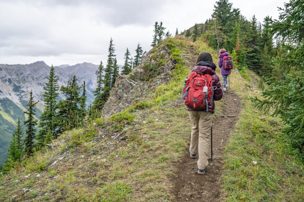
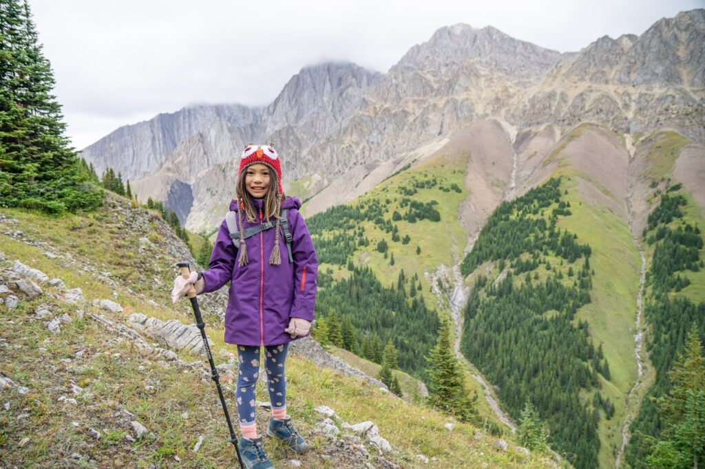
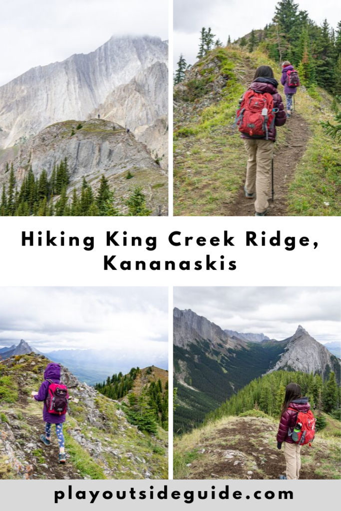
My kids were surprised (and a bit dismayed) that there was still more up, but we made good time to the first/false summit. The second summit, 5-10 minutes later, requires a bit of care as there is a narrower, scrambly section with a considerable drop off on the right side. A fall on the left would also be bad… I think you would tumble for quite a while before you stop. Needless to stay, we stayed to the middle of this part.
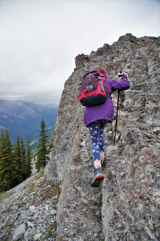
Short scramble to King Creek Ridge’s summit
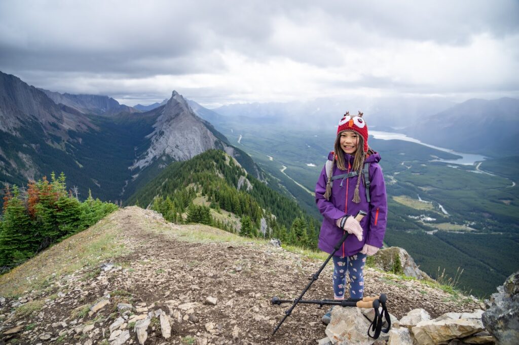
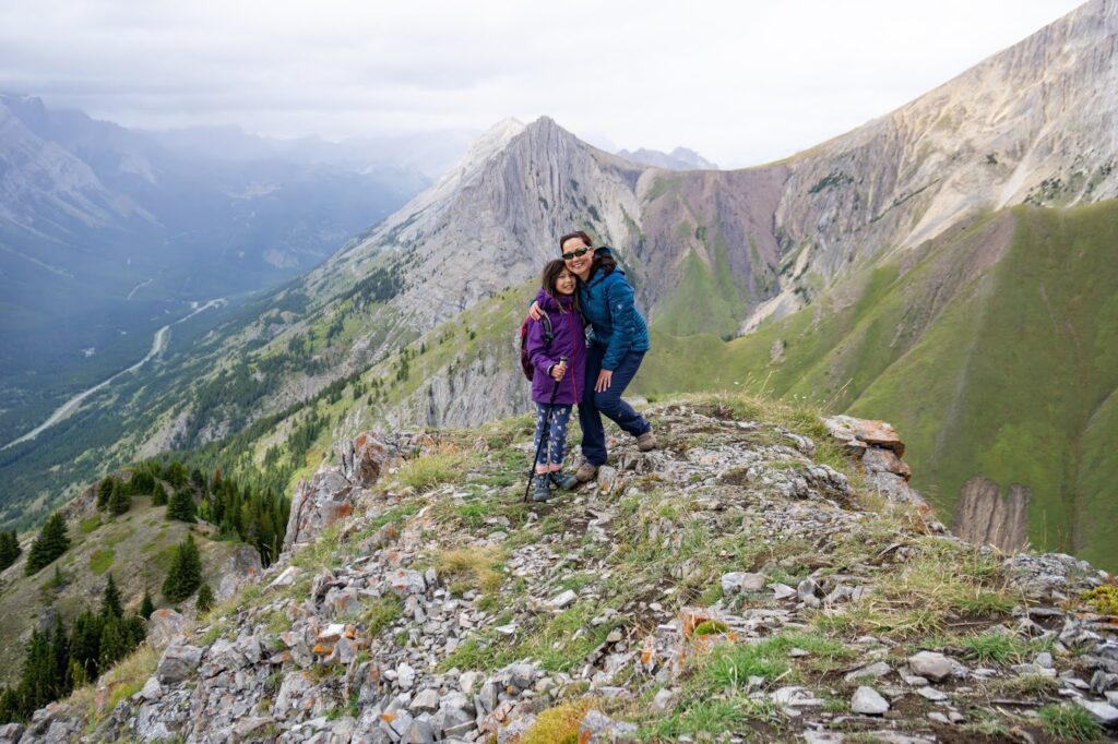
While King Creek Ridge’s summit isn’t as high as neighboring summits, it offers stunning 360 views of Kananaskis including the Opal Range (to the west), Kananaskis Lakes (southwest), Mount Wintour (south), and Tombstone Mountain (to the east). We would definitely do this one again! The summit is big enough for a few hiking parties to hang out on. If it is crowded, you can always backtrack to the false summit, which is also pretty spectacular.
Return the way you came. While it is possible to return via the east side of the ridge and King Creek Trail, L F’s Alltrails report from August 2019 mentions the “lack of path now [since 2013 flood], walking down the creek (and/or bushwacking [sic] a bunch…) and several creek crossings down the canyon.” Do the loop at your own risk.
King Creek Ridge At a Glance
Distance: 7 km round trip
Elevation Gain: 750 m
Duration: Allow 3-5 hours (it took me and the kids 5 hours with lots of breaks)
Stroller Friendly? No.
Parking: Park at King Creek Day Use.
Trailhead: Walk back to Highway 40 and turn right. The trail goes along the road for about 100 metres, then veers right (uphill). At the first junction, stay left to go up to the ridge. Note that the trailhead is unmarked. See photos below for clarification.
Getting Here
Directions from Calgary: Take Highway 1 westbound to the Kananaskis Trail / Hwy 40 turnoff (Exit 118). Turn left at the 3-way stop and continue on Hwy 40 for 50 km. Turn left at King Creek Day Use.

Know Before You Go
- A Kananaskis Conservation Pass is required to park in Kananaskis. Purchase your pass online from the Government of Alberta.
- You are in bear territory. Review our Bear Safety Tips and keep bear spray accessible.
- Dogs must be kept on a leash.
- Pack out all trash and dog poop.
What to Bring
Disclosure: This section includes affiliate links through which I earn a commission on qualifying purchases at no extra cost to you.
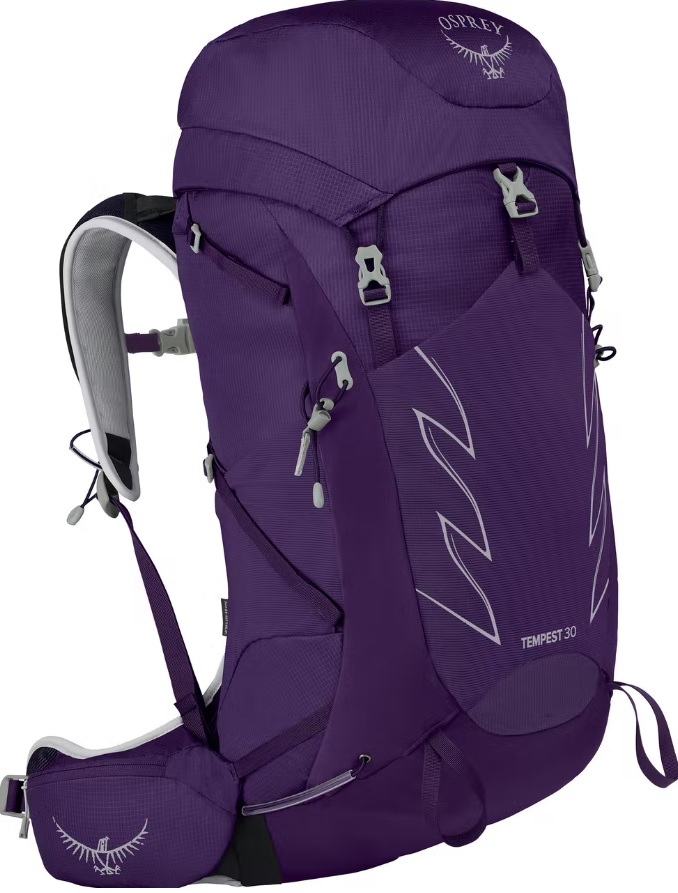
Waterproof mid-height hiking boots, a down hoody or fleece, toque, gloves, and windproof/waterproof shell are recommended year round. Trekking poles are useful for long hikes, steep descents, or when you’re carrying a fully-loaded backpack (or are babywearing). You should also carry The Ten Essentials including: water, extra food, extra clothes, a first aid kit, headlamp, GPS / compass / Garmin inReach Mini 2 satellite communicator* and map of the area, mineral sunscreen, bug spray (this DEET-free insect repellent contains 20% icaridin and will repel ticks), and bear spray. Carry bear spray in a Bear Spray Holster or Scat Griz Bear Spray Running Belt.
*A Garmin inReach Mini 2 satellite communicator is highly recommended for contacting Search & Rescue and emergency contacts in the event of an emergency, or communicating with friends and family when you are out of cell phone range. You can send text messages and your GPS coordinates via satellite, but a monthly service plan is required.
In snowy/icy conditions, traction devices such as Kahtoola Microspikes (Available from Amazon, MEC, and Valhalla Pure Outfitters), or Hillsound Trail Crampons (Available at Valhalla Pure Outfitters and Sport Chek) are recommended. See our Fall/Winter Hiking Gear Guide for recommended clothing and gear.
Things to Do in the Area
Our Peter Lougheed Provincial Park hiking and camping guide has lots of trip inspiration if you want to stay for a few days. Please read Camping and Hiking in Peter Lougheed Provincial Park.
Check out the exhibits or attend an interpretive program at Peter Lougheed Provincial Park Visitor Centre.
Get an ice cream at Fortress Junction on your drive home.