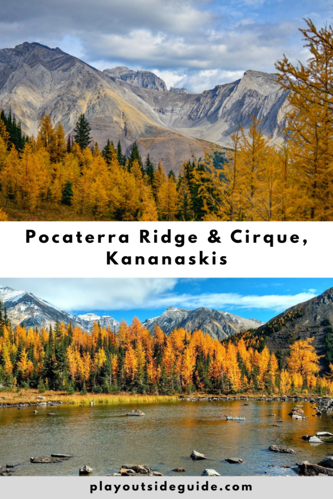
The trail to spectacular Pocaterra Ridge (& Pocaterra Cirque) begins at Highwood Meadows and passes through a valley filled with larch trees.
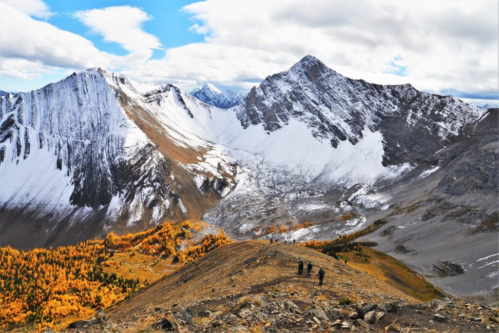
Peter Lougheed Provincial Park’s Pocaterra Ridge is popular for a reason. Not only is it a great place to see golden larch trees in autumn, it also boasts a tarn, cirque, and stunning ridge walk. Whether you hike to the cirque (2.5 km one way), to the first summit, or complete the traverse (car shuttle required), you can enjoy fall colors and glorious scenery. Just don’t expect solitude on this busy trail; it’s extremely busy on September weekends. For quieter larch hikes, try Arethusa Cirque, Piggy Plus Col, or Tryst Lake.
June 15, 2022 Update: There is a construction closure at Little Highwood Pass and the north side of Pocaterra Ridge until the end of the year. You can hike to the first summit from Highwood Meadows, but must return the way you came.
Table of Contents
What’s the big deal with larches?
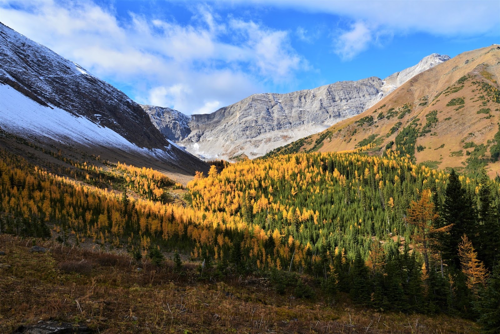
Alpine larches, aka Larix lyalli, are deciduous conifers that only grow at high elevations (above 1,800 metres). Their soft, green needles turn a vibrant shade of yellow for a few weeks each autumn before falling off. The spectacle is dramatic, but fleeting, so you have to time it right. Depending on the weather, larch needles typically begin changing color in mid to late September. The needles will fall off within a couple weeks, sooner if it snows.
Pocaterra Cirque and Pocaterra Ridge Route Description
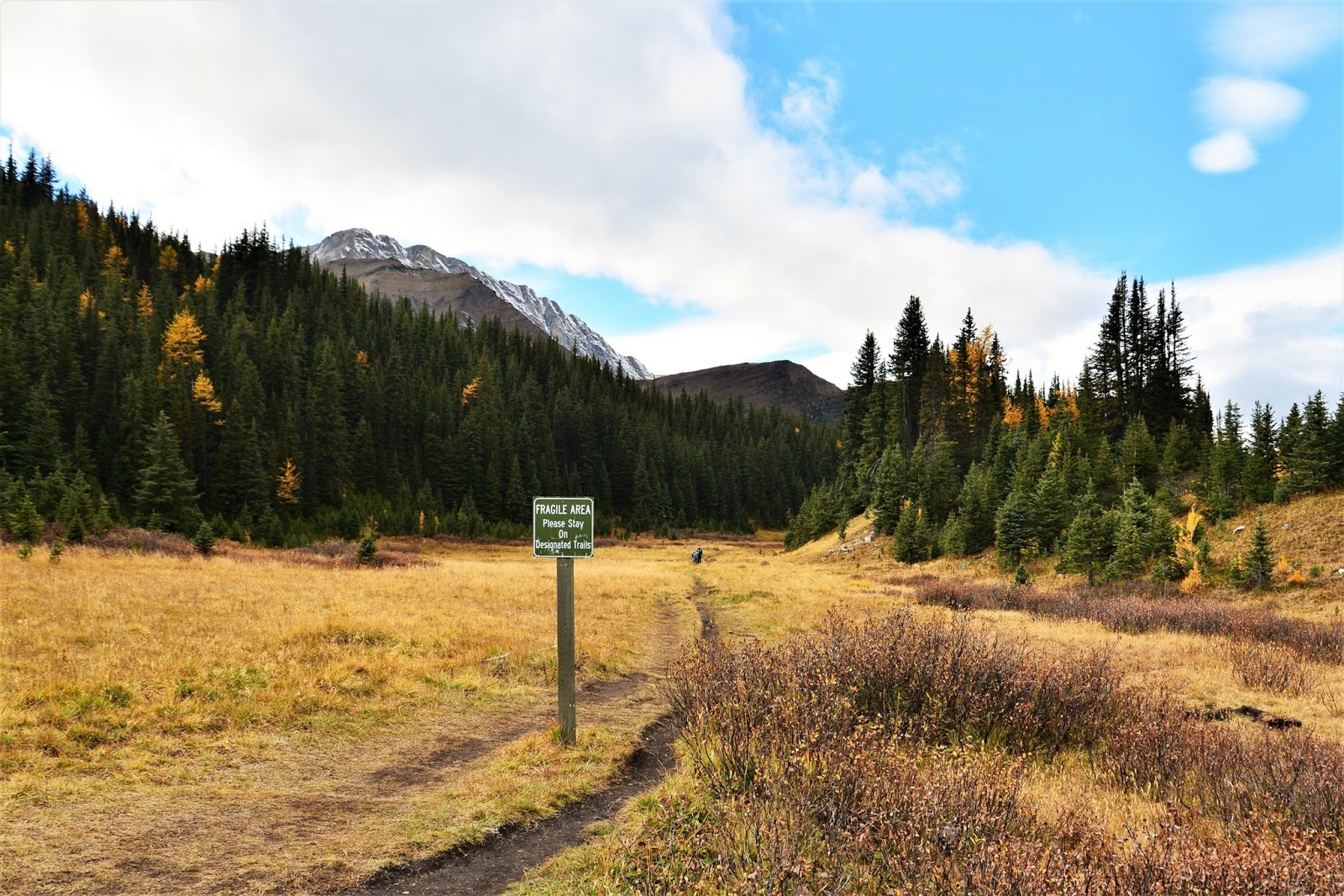
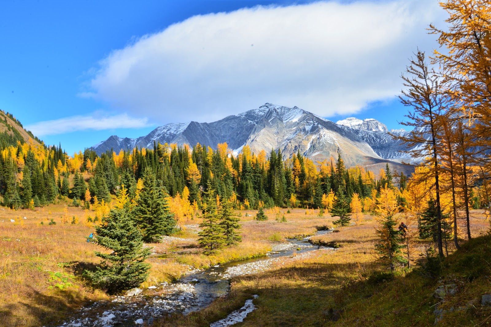
From Highwood Meadows Trail, after 200 metres we cross a little bridge and arrive at the turnoff to Pocaterra Ridge (on your left). We follow the narrow trail through the meadow, then head left into the woods. The trail is heavily shaded and the trees are laden with Old Man’s Beard.
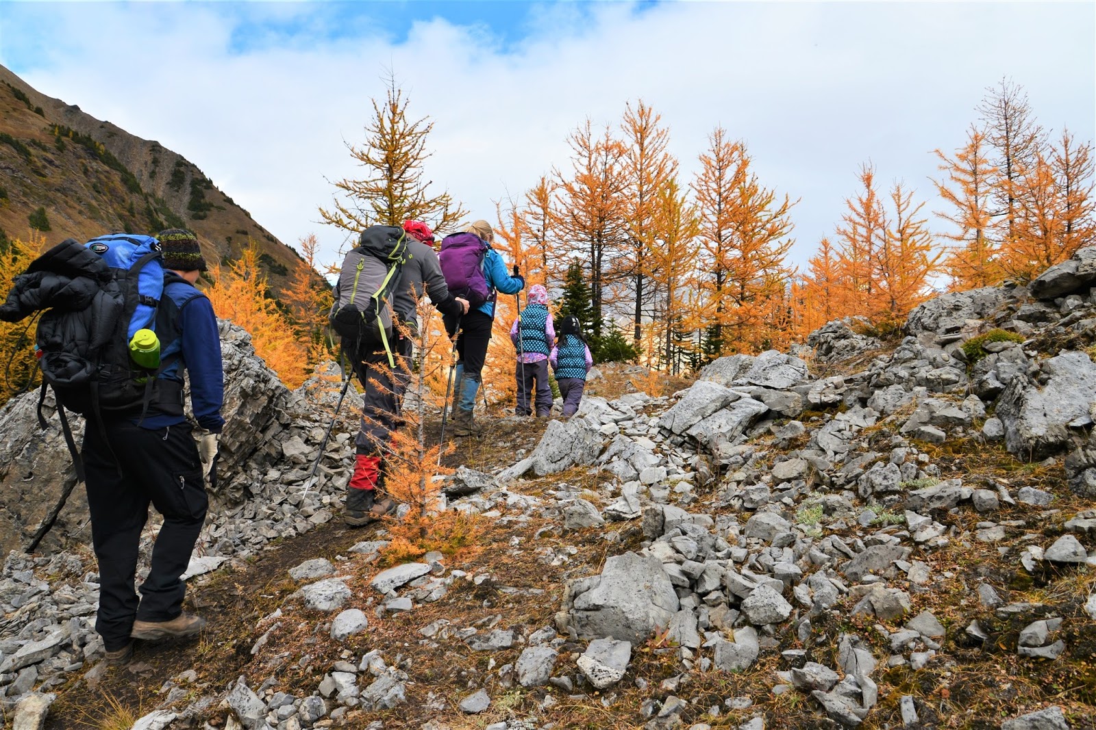
As we gain elevation, the views begin to open up, and soon we are where the larches are. Sunlight sparkles on snowy peaks overlooking the valley and boulders ask to be climbed. A little tarn (2.1 km from parking, 200 m elevation gain) surrounded by larches makes a nice snack spot. The kids decide to hang back and play at the tarn with Dad, while I continue on with friends.
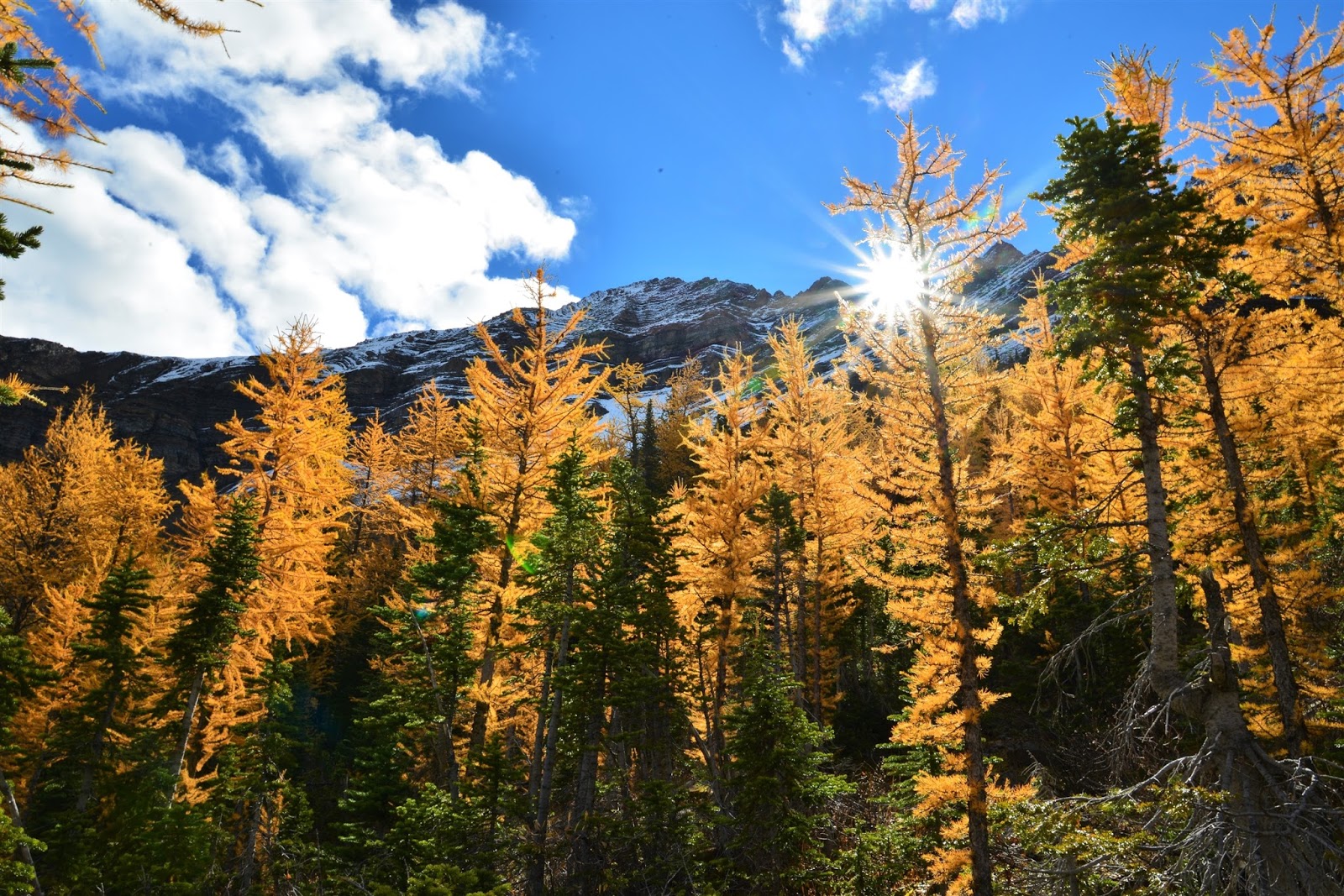
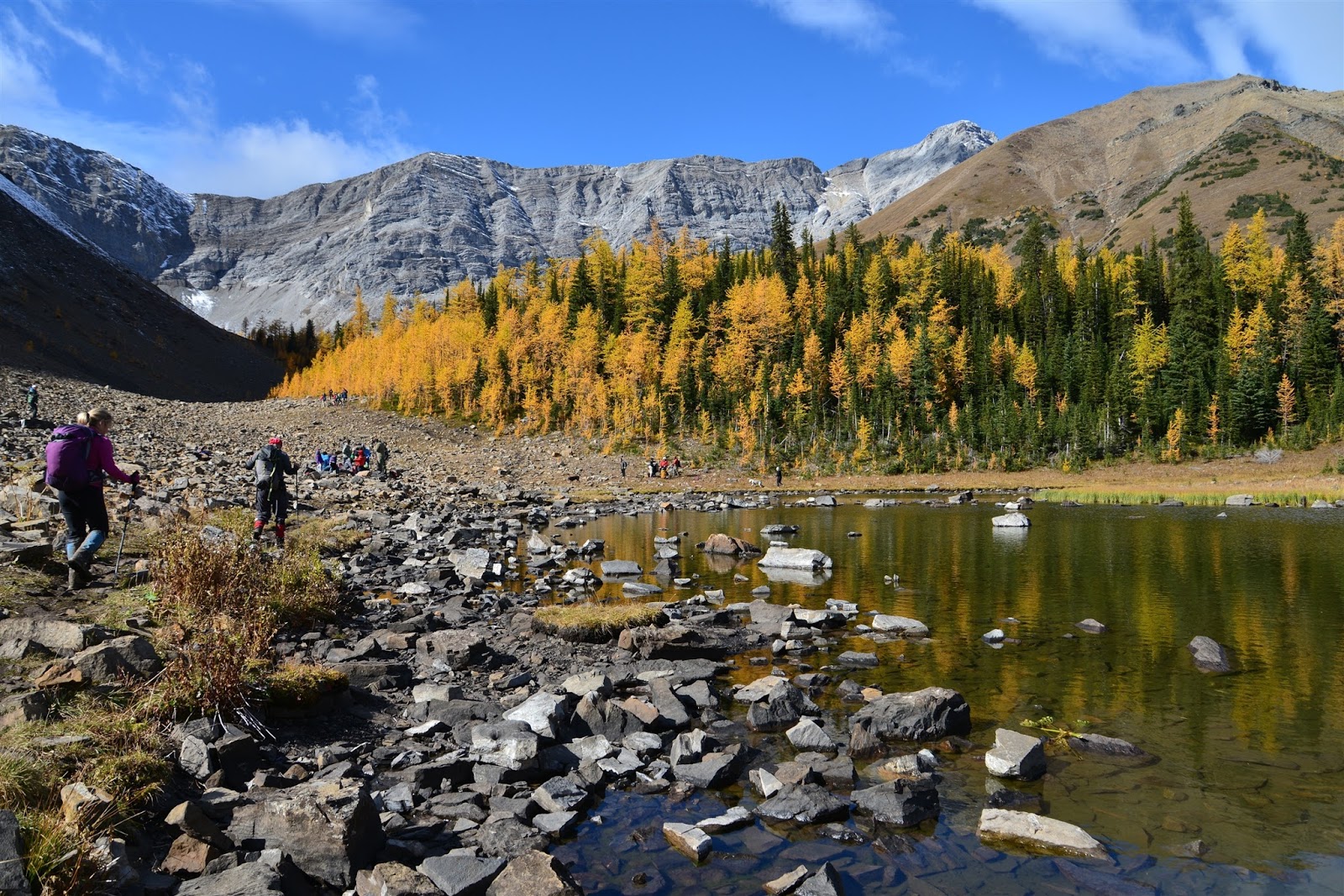
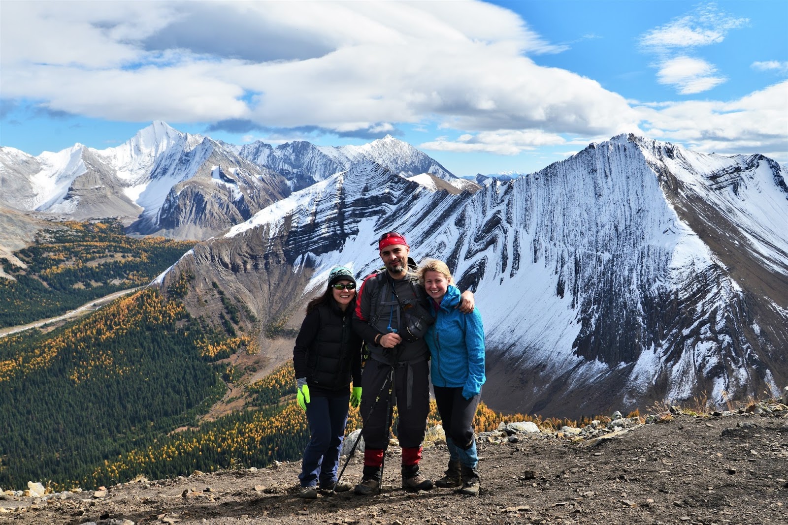
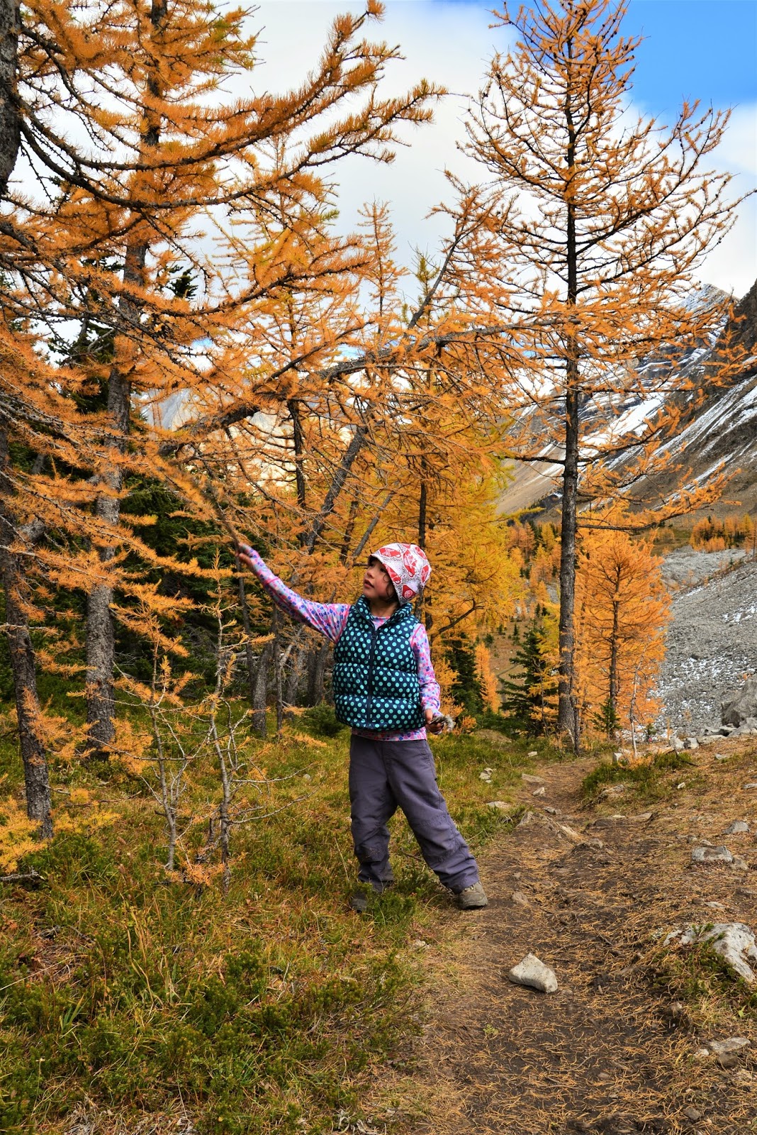
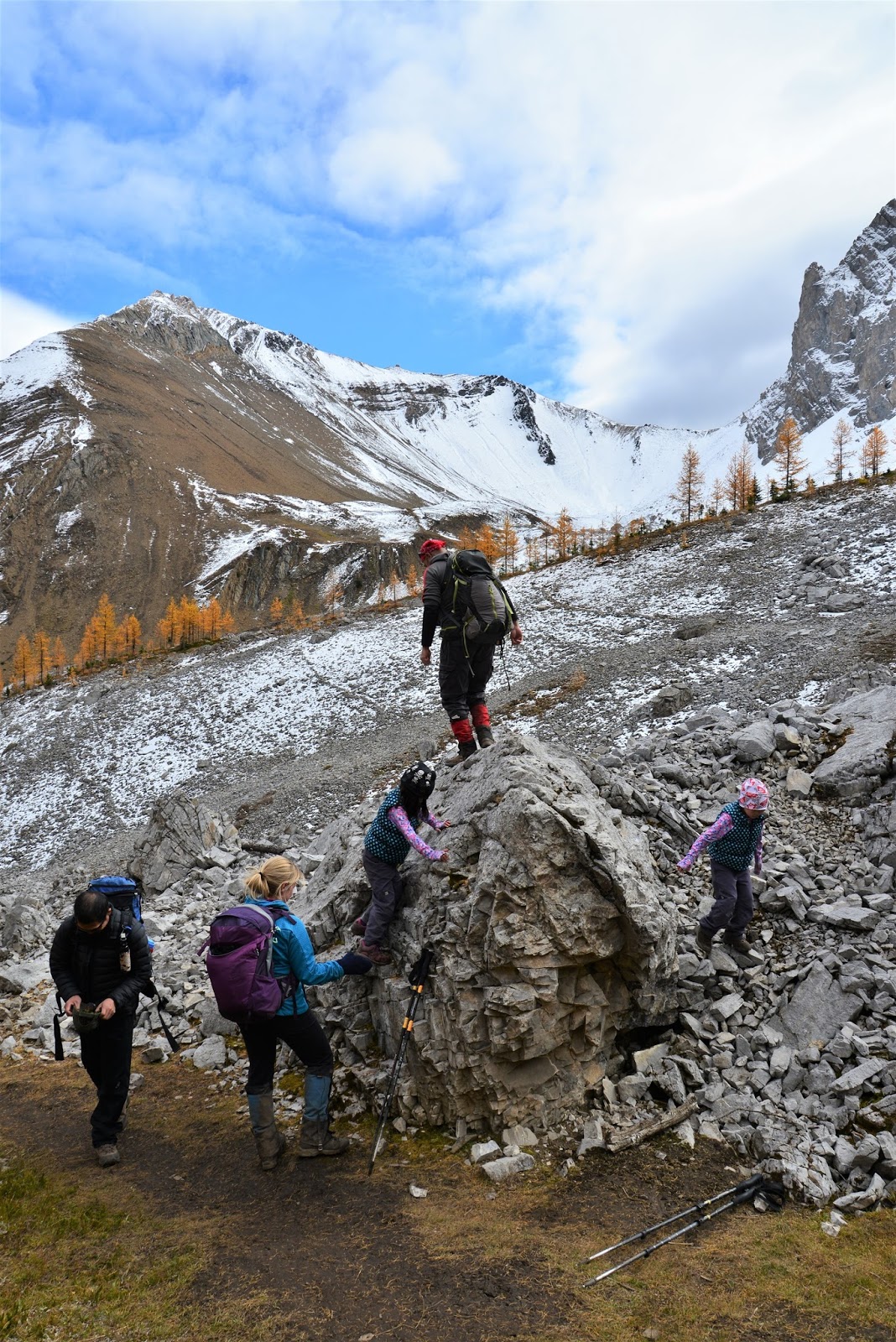
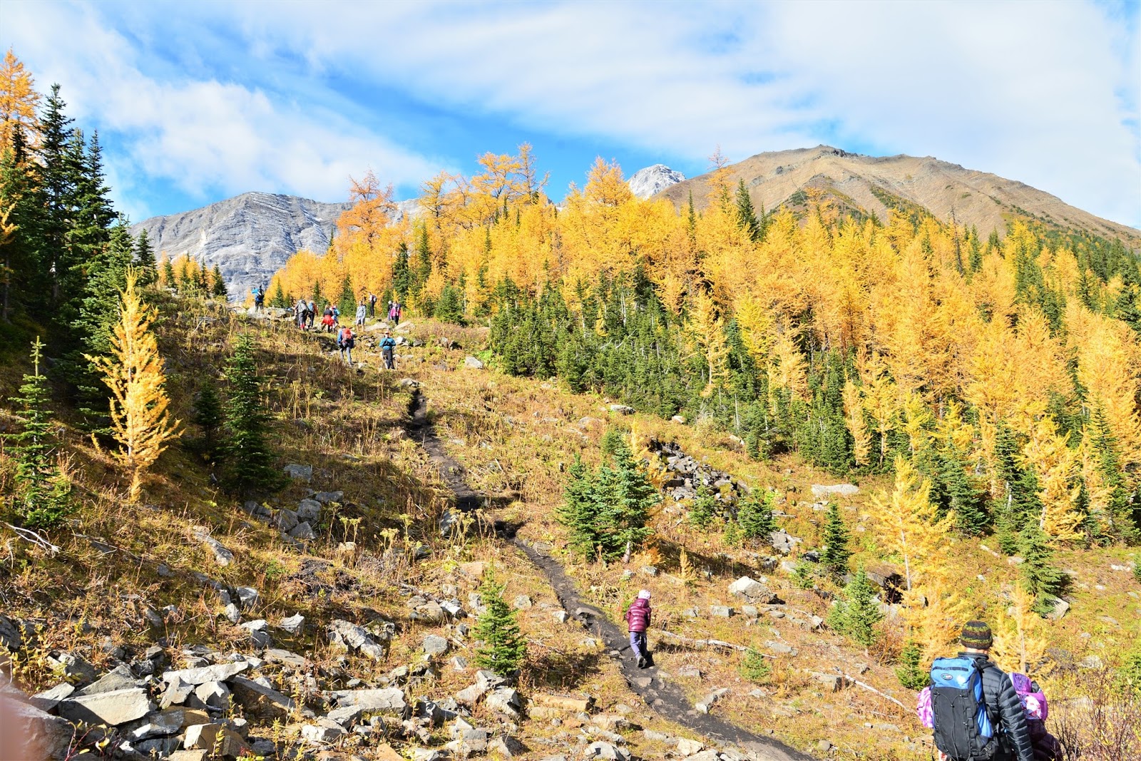
The way up the ridge is easy to find, but not so easy on the legs. We follow the well beaten path to the top, pausing every now and then to catch our breath. We enjoy the panoramic views from the top and take a few photos before returning the way we came.
If doing the whole ridge walk, you will hike over 3 more summits (4 in total plus many smaller bumps), before descending to Little Highwood Pass Day Use Area, visible for much of the way down. A creek crossing and bit of route finding are required at the north end of the trail.
Pocaterra Ridge is a spectacular hike year round, but even better during larch season. To avoid the crowds and get parking, go early or midweek!
Pocaterra Cirque/Ridge Trail at a Glance
Distance (one way) / Elevation Gain from Highwood Pass Parking Lot:
- To the tarn: 2.1 km, 200 m elevation gain
- To the cirque: 2.5km to the cirque, 225 m elevation gain
- To the ridge: 4 km, 450 m elevation gain
- To Little Highwood Pass Day Use Area: 8.9 km, 950 m
- Start at Highwood Pass to save 300 m elevation gain.
- Cumulative elevation gain is significantly greater than 950 m as you go over several humps, including 4 summits.
- There is a creek crossing and some route finding at the north end of the trail (near Little Highwood Pass).
Stroller Friendly? No
Washrooms? Pit toilets at parking lot
Parking: Highwood Pass Parking Lot (leave a car/bike at Little Highwood Pass Day Use Area if doing a car shuttle and completing the whole ridgewalk)
Getting There
Pocaterra Ridge Trail starts at Highwood Pass 140 km SW of Calgary. Take Highway 1 west out of town to the Kananaskis Trail/Hwy 40 turnoff. Stay on Hwy 40 for 67 km. The marked parking lot – Highwood Pass – will be on your right.
Amenities en route:
- Kananaskis Village (26 km south of Hwy 1) has dining and lodging.
- Fortress Junction (42 km south of Hwy 1) is your last chance for gas, water, and snacks.
Know Before You Go
A Kananaskis Conservation Pass is required to park in Kananaskis. Purchase your pass online at https://www.alberta.ca/kananaskis-conservation-pass.aspx.
This is an unofficial, unmarked trail so bring a map and compass/GPS and pay attention to landmarks.
There is significant avalanche danger along this trail, so avoid this area in winter conditions.
What to Bring
Disclosure: This section includes affiliate links through which I may earn a small commission at no extra cost to you. Thank you for supporting our website!
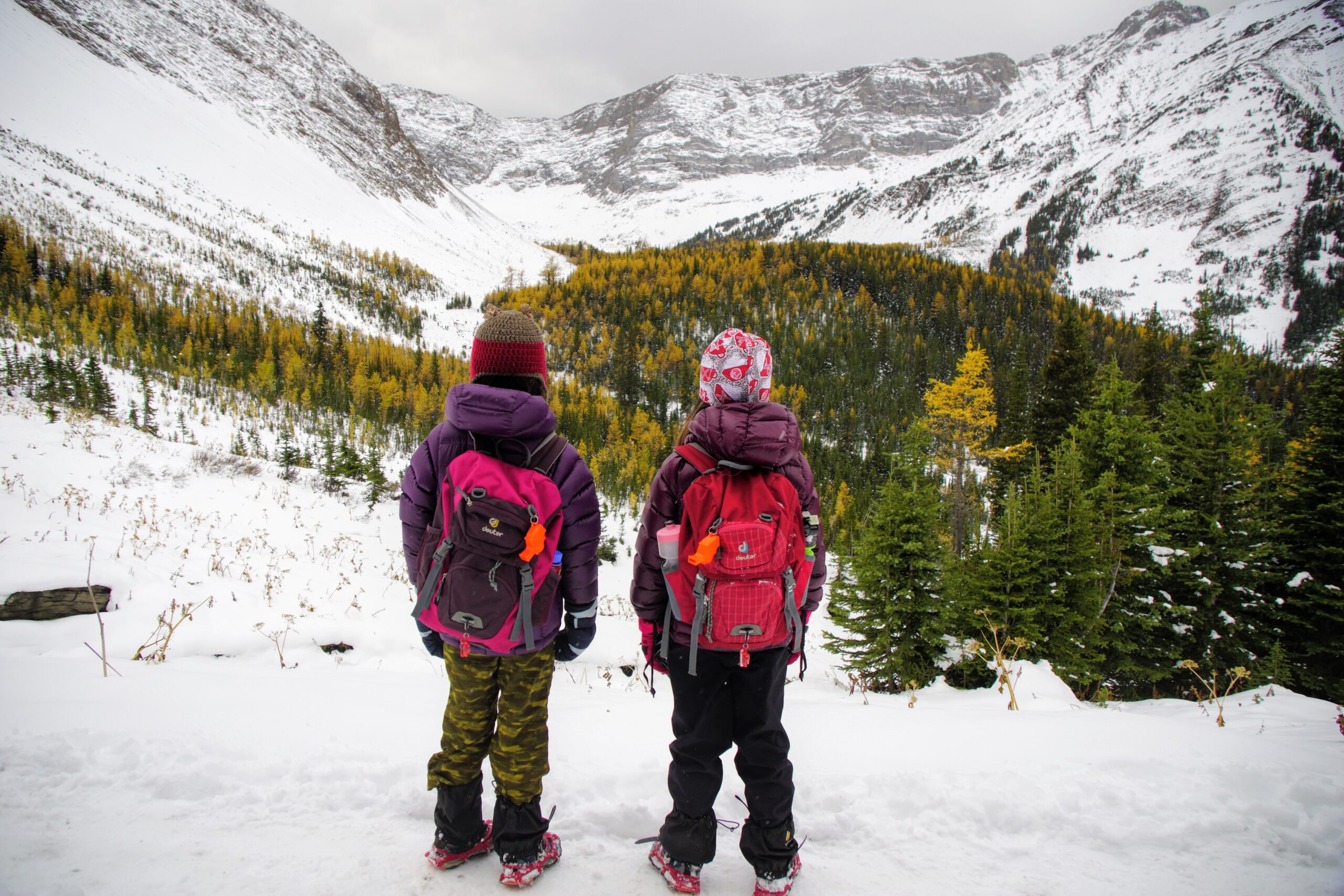
Good hiking boots and a windproof/waterproof shell are must-haves. Trekking poles are recommended for the descent, especially if you have a heavy pack.
You should also carry The Ten Essentials including: water, extra food, extra clothes, a headlamp, a GPS/compass and map of the area, bug spray (this one contains 20% icaridin and will repel ticks), sunscreen (this one is safe for babies), and bear spray. Carry bear spray in a Frontiersman Bear Spray Holster (attaches to your backpack or belt) or Scat Belt.
In winter conditions, traction devices such as Kahtoola Microspikes (Available from Amazon or MEC), or Hillsound Trail Crampons (Available at Amazon and Sport Chek) are recommended.
More Larch Hikes
- Fantastic Fall Larch Hikes in Kananaskis
- Tent Ridge Horseshoe, Kananaskis
- Chester Lake, Kananaskis
- Ptarmigan Cirque
- Saddleback and Mount Fairview, Lake Louise
- Larch Valley & Sentinel Pass, Lake Louise


