Arethusa Cirque is an awesome summer and fall hike that glows golden in autumn when the larches turn. If time allows, you can scramble Little Arethusa too!
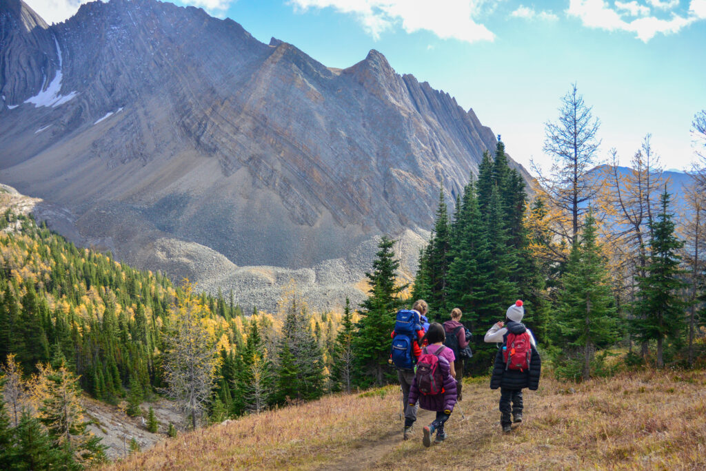
Arethusa Cirque is a beautiful, unofficial trail that takes you to a lovely alpine meadow ringed with larches. Fossils and little waterfalls await on the far side, watched over by dramatic, jagged peaks. Visit in summer to see wildflowers and splash in the creek, or autumn to enjoy the golden larch trees.
While no longer a hidden gem, Arethusa Cirque tends to be less busy than nearby Ptarmigan Cirque and Pocaterra Ridge. Old trail reports mentioned bushwhacking and routefinding, but as of 2017, there is a well beaten path for most of the way and only minor route finding above treeline (made easier by sporadic bits of flagging tape). Scramble up Little Arethusa for even better views, and wave at the crowds below!
Table of Contents
Arethusa Cirque Route Description
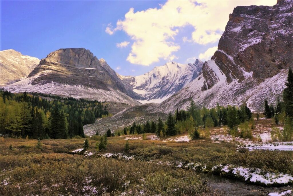
Arethusa Cirque, Kananaskis
It’s cloudy and 6 degrees as we pull into the (unmarked) Arethusa parking lot. After bundling up, we head for the trailhead at the north end of the parking lot. A well-beaten path leads up and to the right. The trail climbs gradually to the meadow, for about 700 metres, where we have the option to go left or right. Oncoming hikers tell us it’s easier to find the trail if you do the loop counter-clockwise, so we go to the right. (Variation: If you just want to see the larches and want to avoid the scramble, go to the left and return the way you came.)
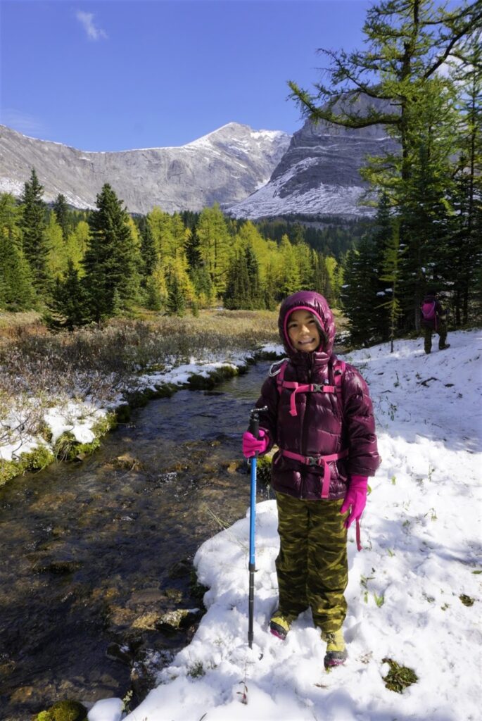
To do the loop, follow the creek and talus slopes full of fossils to the far end of the cirque where there is a small waterfall. Cross the creek twice (cross to the left side of the creek just before the falls, ignore the trail that heads left shortly after, then cross to the right side of the creek), then ascend the steep slope. Go left at the top of the hill on a narrow but defined rocky trail along the east side of Storm Mountain.
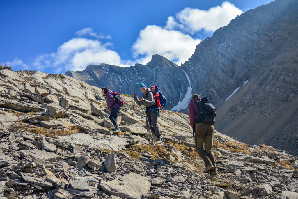
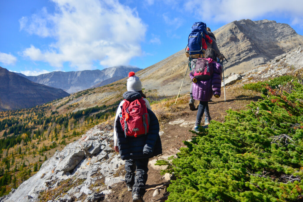
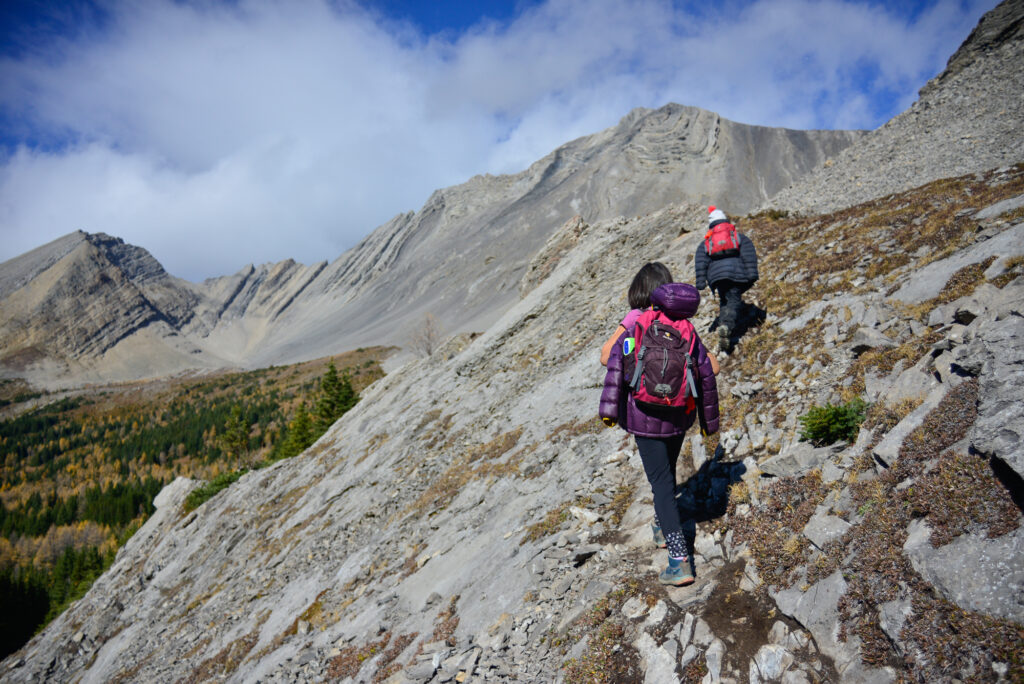
Follow the trail to the left, onto a grassy ridge. After passing a large gulley, keep an eye out for flagging tape and head left to go downhill. Follow the trail on the west side (skier’s right) of the gulley. At the bottom of the hill, re-join the trail you hiked in on and hike 700 metres to the parking lot.
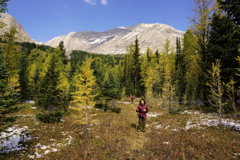
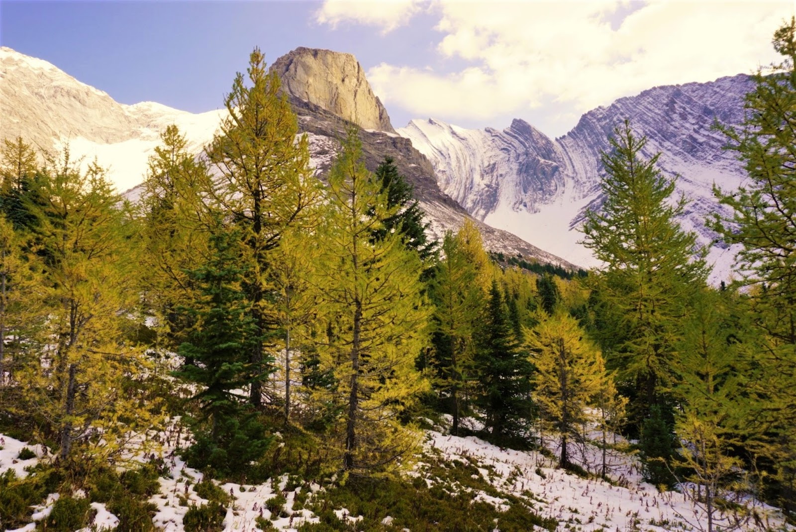
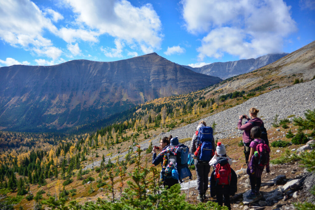

1. Looking north. Mount Arethusa is at centre; Little Arethusa is at far left., 2. Storm Mountain, 3. Larches all around! 4. Heading down
Little Arethusa Scramble
Little Arethusa is extremely steep, has lots of loose rock and considerable exposure on the summit ridge. You can avoid the drop off by hiking on the west side (side closest to Hwy 40) of the summit ridge. Hiking boots required and trekking poles are recommended. I do not recommend doing this trail if wet/snow/icy as it would be slippery and treacherous.
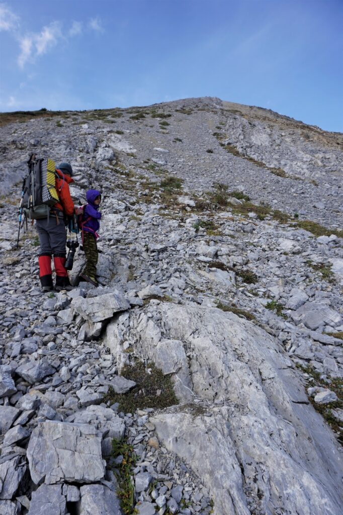
If you’d like to scramble Little Arethusa, an outlier of Mount Arethusa near Highway 40, continue straight, (instead of turning left and going downhill) to stay above treeline and head towards the highway. The peak looks little from a distance, but as we get closer, we realize how ridiculously steep it is. We start out zigzagging up scree and slab, then move westward where it’s easier. Large cairns reveal a good, rocky trail and we take that, albeit slowly, to the summit ridge.
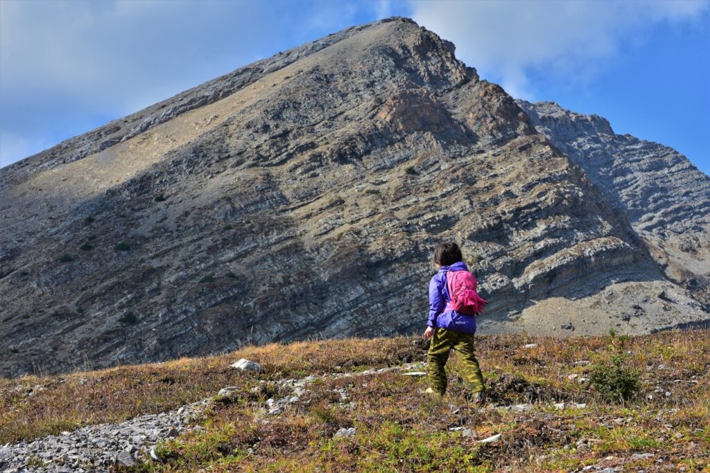
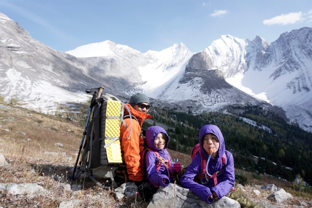
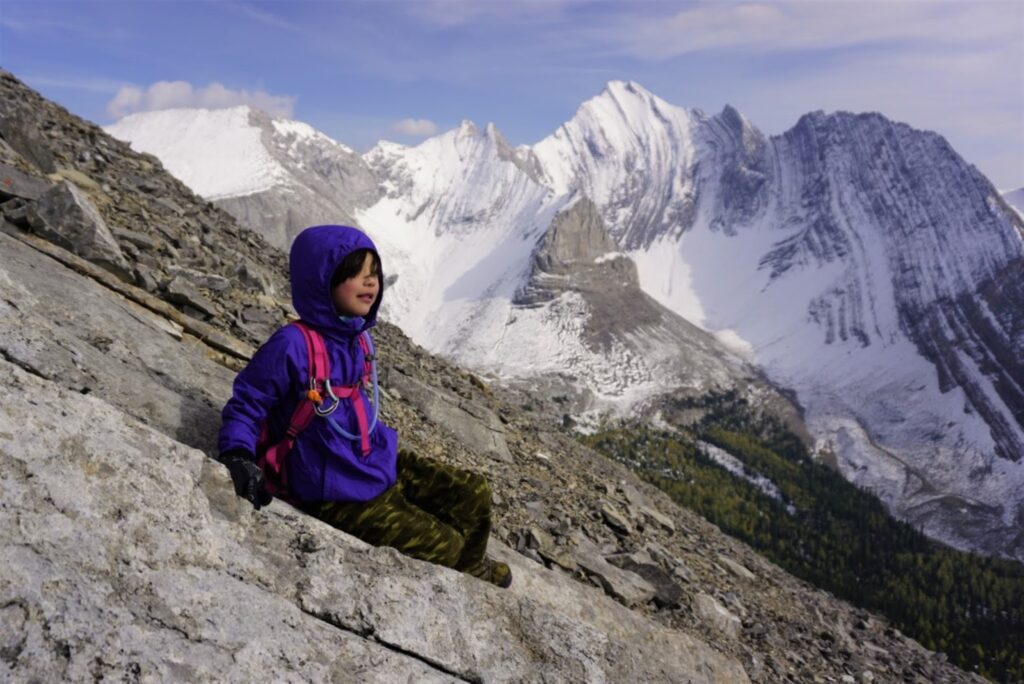
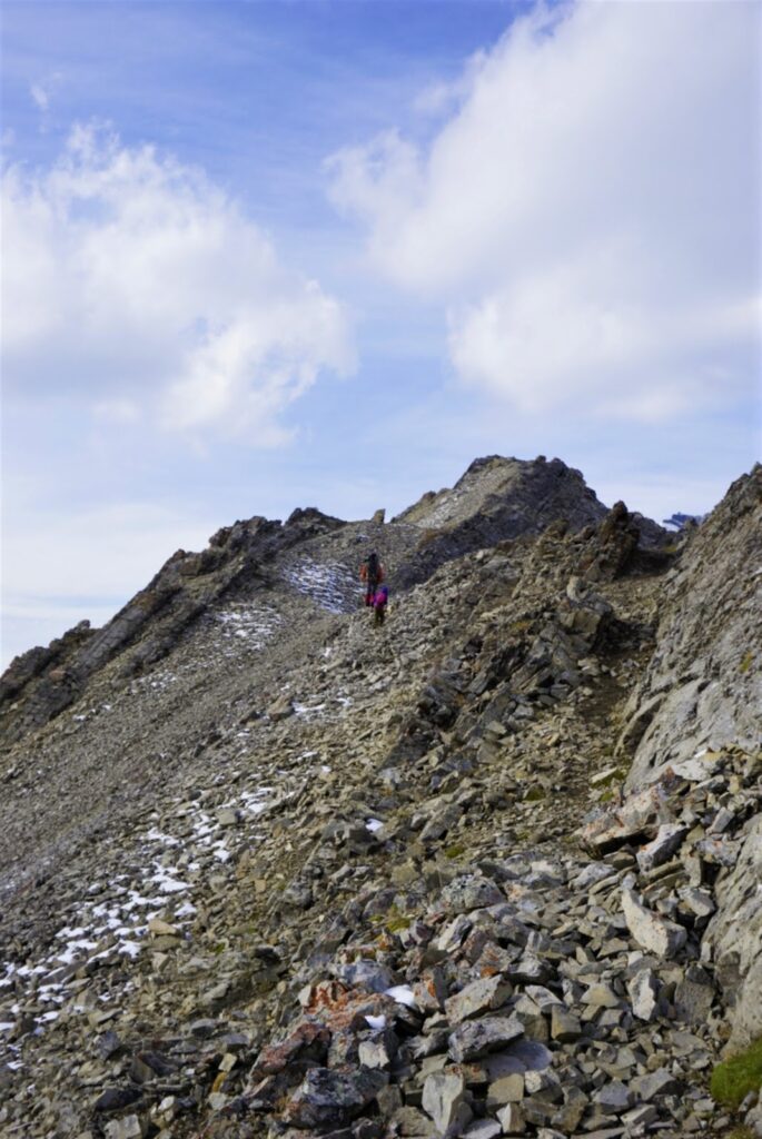

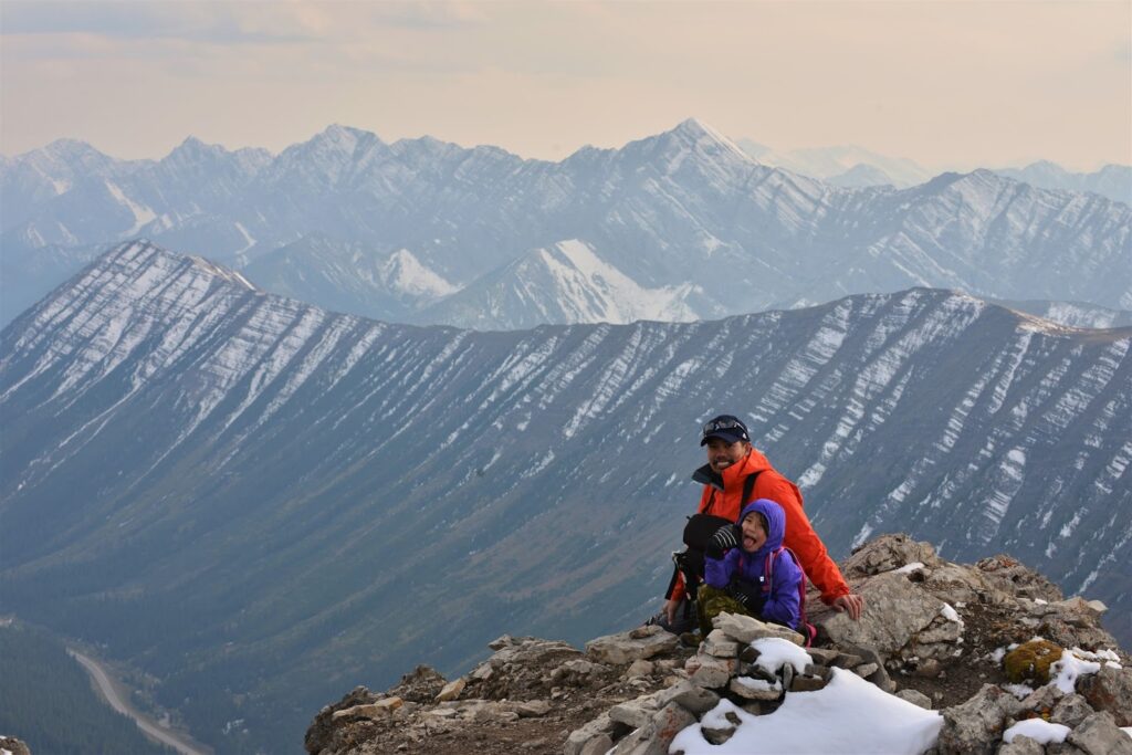
The summit ridge is exposed, with a massive dropoff on the east side, but by dropping down to the west side (side overlooking the highway), we can avoid it. It’s then a pleasant walk to the small summit. From the top, we look down on Ptarmigan Cirque and across to Pocaterra Ridge, Highwood Range and back at Storm Mountain. It’s an amazing view for such a short hike and we will definitely do it again!
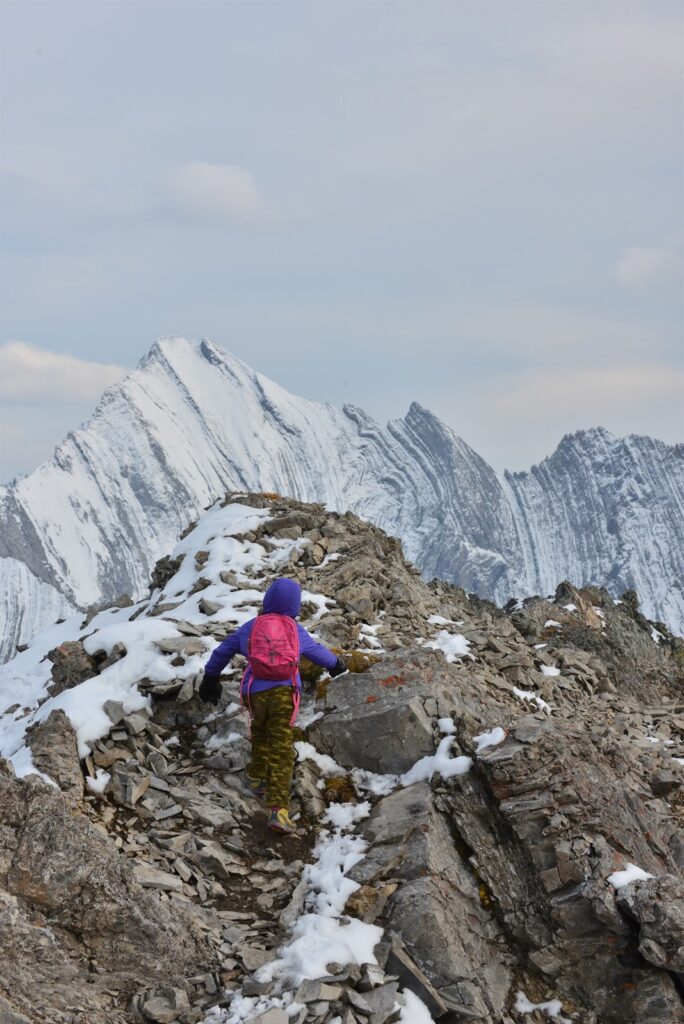
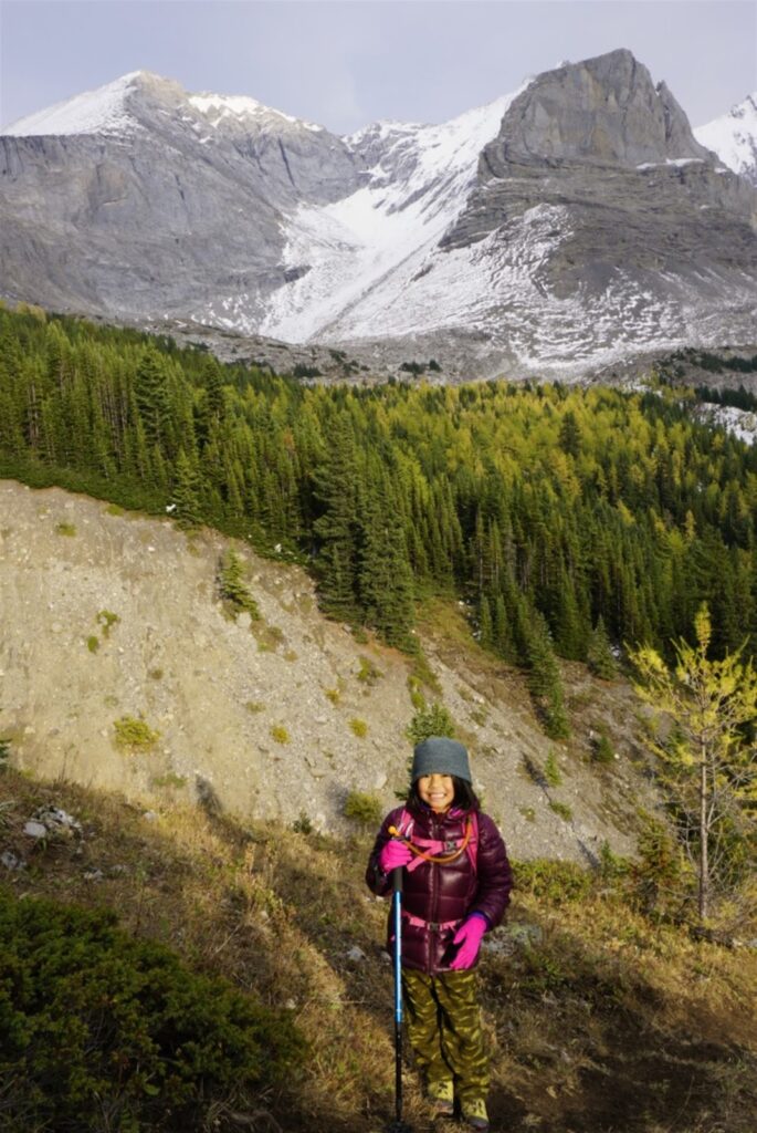
As the sun dips lower in the sky, we retrace our steps until we see a cairn and flagging tape on the right (just before the large gulley). The narrow trail is soon enclosed in trees, so we sing loudly to scare the wild things. At the bottom of the ridge, we cross a dry streambed, and notice we are already back at the meadow where we had lunch. From here, we’re on familiar ground. We turn right and head downhill to the car, motivated by thought of ice cream at Fortress Junction!
Arethusa Cirque (& Little Arethusa) at a Glance
*Note this is an unofficial trail so the parking lot is not marked and there are no trail markers.*
- Distance: 5 km loop (+ 1 km for Little Arethusa)
- Elevation Gain: 275 metres (+330 m for Little Arethusa)
- Washrooms: None. Nearest washrooms are at Highwood Pass Day Use
- Stroller friendly? No
- Difficulty: Moderate due to loose rock and steep sections. Hiking poles recommended
- Time: Allow 3-4 hours to hike Arethusa Cirque and Little Arethusa. With kids, allow 5-6 hours (It took us 6 hours at a leisurely pace with our 6 yr old and 8 yr old including lunch, many short breaks and a long summit break.)
- Parking: There’s a small gravel lot (click for Google Maps pin) on Highway 40, 1.3 km south of Highwood Pass on left hand side. See directions below.
Getting There
The unmarked parking lot (Click for Google Maps pin) for Arethusa Cirque & Little Arethusa is 1.3 km south of Highwood Pass Day Use on Highway 40, 141 km SW of Calgary. Take Highway 1 west out of town to the Kananaskis Trail/Hwy 40 turnoff. Stay on Hwy 40 for 68 km. The gravel/dirt parking lot will be on your left.
If you live in south Calgary, you can drive up via Longview and Highway 40. The unmarked parking lot is 79.2 km from the Highway 22/40 junction on the right hand side. If you get to Highwood Meadows, you’ve gone 1.3 km too far.
Know Before You Go
- A Kananaskis Conservation Pass is required to park in Kananaskis. Purchase your pass online from the Government of Alberta.
- You are in bear territory. Review our Bear Safety Tips and keep bear spray accessible.
- Dogs must be kept on a leash.
- Arethusa Cirque Trail is often snowy in September so be prepared with waterproof hiking boots and gaiters. Ice cleats or microspikes are nice to have if there has been freezing and thawing. I do not recommend doing the trail if snow-covered as it can be hard to find the trail.
What to Bring
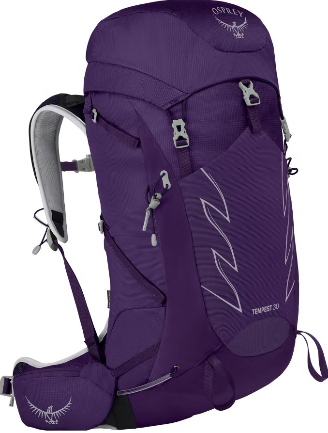
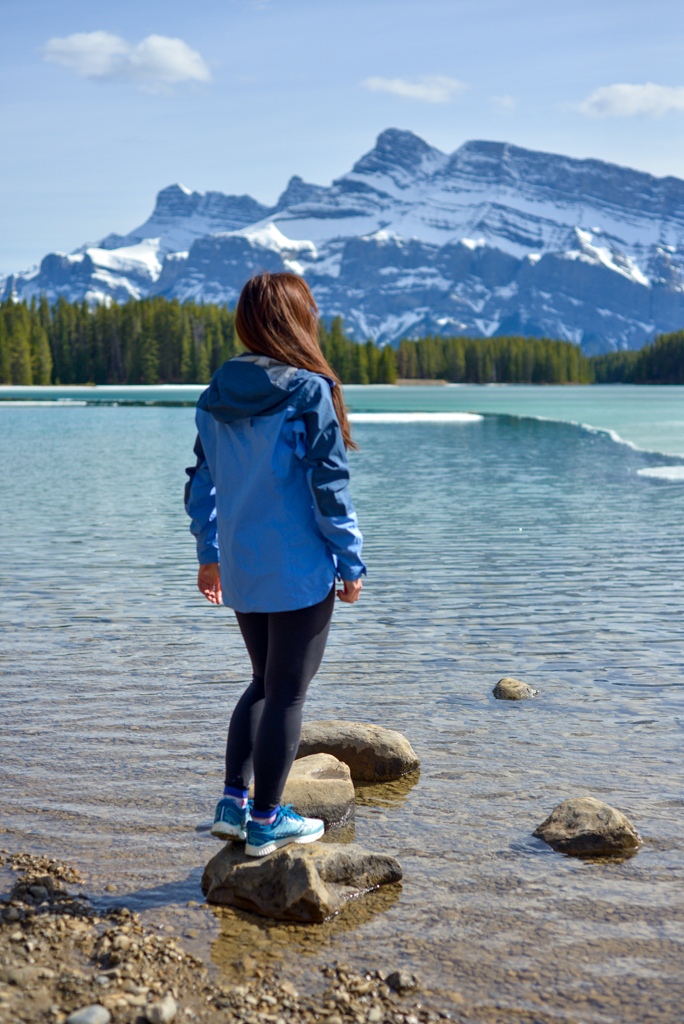

Disclosure: This section includes affiliate links through which I earn a commission on qualifying purchases at no extra cost to you.
Waterproof mid-height hiking boots, a down hoody or fleece, toque, gloves, and windproof/waterproof shell are recommended year round. Trekking poles are useful for long hikes, steep descents, or when you’re carrying a fully-loaded backpack (or are babywearing). You should also carry The Ten Essentials including: water, extra food, extra clothes, a first aid kit, headlamp, GPS / compass / Garmin inReach Mini 2 satellite communicator* and map of the area, mineral sunscreen, bug spray (this DEET-free insect repellent contains 20% icaridin and will repel ticks), and bear spray. Carry bear spray in a Bear Spray Holster or Scat Griz Bear Spray Running Belt.
*A Garmin inReach Mini 2 satellite communicator is highly recommended for contacting Search & Rescue and emergency contacts in the event of an emergency, or communicating with friends and family when you are out of cell phone range. You can send text messages and your GPS coordinates via satellite, but a monthly service plan is required.
In snowy/icy conditions, traction devices such as Kahtoola Microspikes (Available from Amazon, MEC, and Valhalla Pure Outfitters), or Hillsound Trail Crampons (Available at Valhalla Pure Outfitters and Sport Chek) are recommended. See our Fall/Winter Hiking Gear Guide for recommended clothing and gear.
More Larch Hikes
- Pocaterra Cirque and Ridge, Kananaskis
- Chester Lake, Kananaskis
- Ptarmigan Cirque: The Best Short Hike in Kananaskis
- Saddleback and Mount Fairview, Lake Louise
- Kicking Horse Lookout, Lake Louise Gondola


