Tent Ridge is one of the best ridge walks in Kananaskis (though technically it’s an easy scramble). Hike the horseshoe shaped ridge clockwise from late June until October for awesome panoramic views, and look for larches in late September.
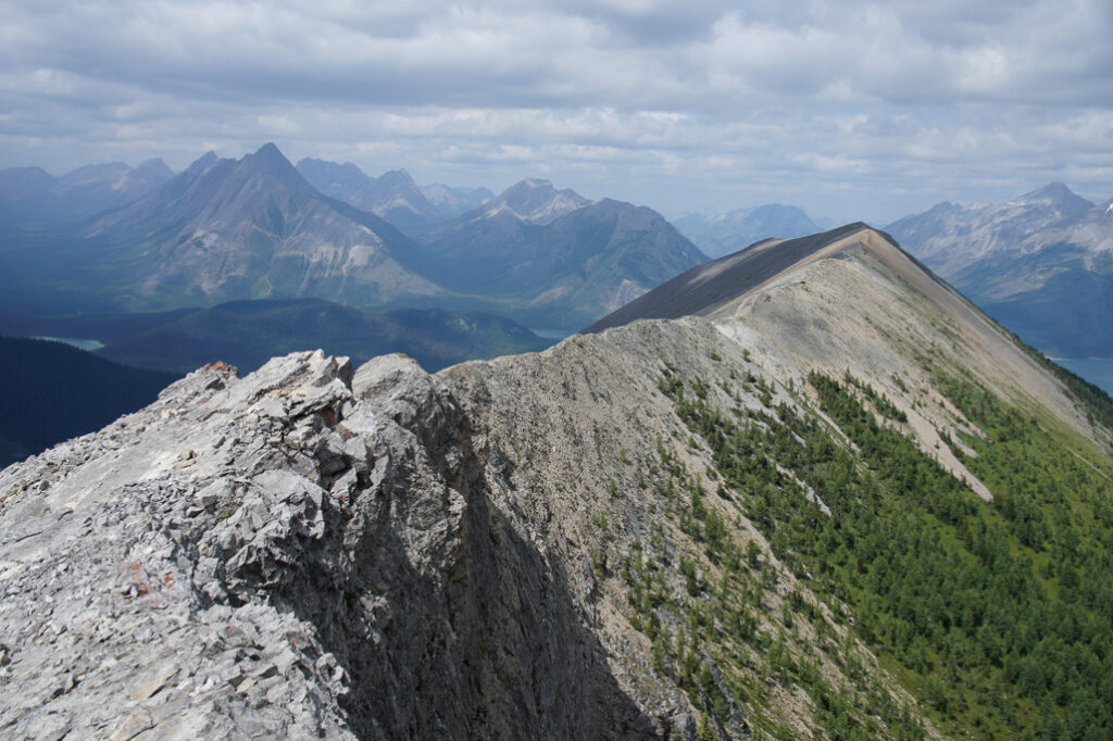
With dramatic Spray Lakes scenery, and tons of terrain above treeline, Tent Ridge Horseshoe is a classic Kananaskis hike. Enjoy panoramic views from late spring until fall, and golden larches in autumn. Expect to do a little bit of hands-on scrambling near the first summit, and wear good hiking boots/shoes; there’s a lot of loose rock. We recommend doing this ridgewalk in a clockwise direction so you go up the most difficult way. If you’d like to hike the ridge and skip the sketchy part altogether, you can hike to the summit counter-clockwise and return the way you came (skipping the 2nd slightly lower summit and downclimb).
Table of Contents
Tent Ridge Route Description
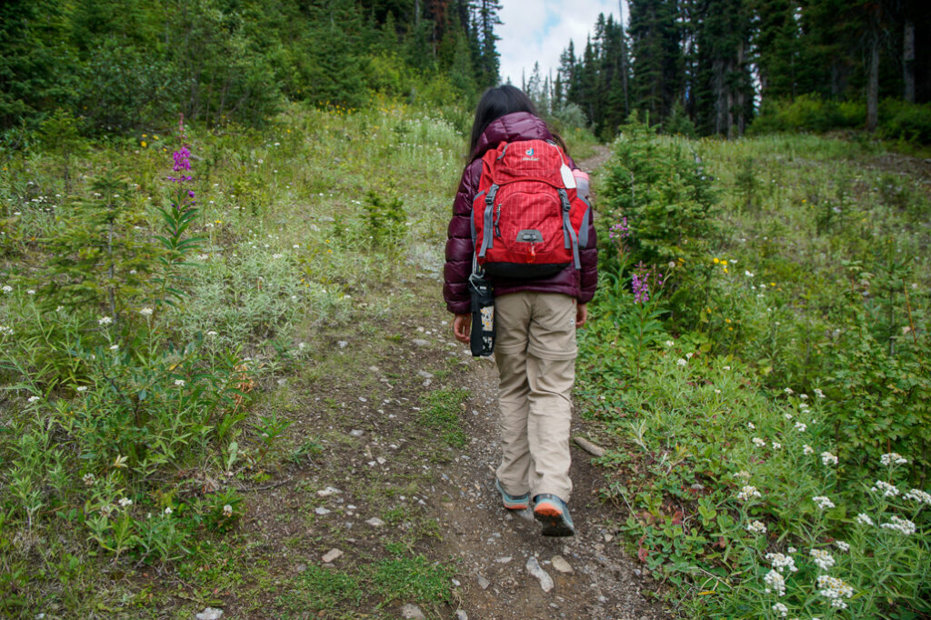
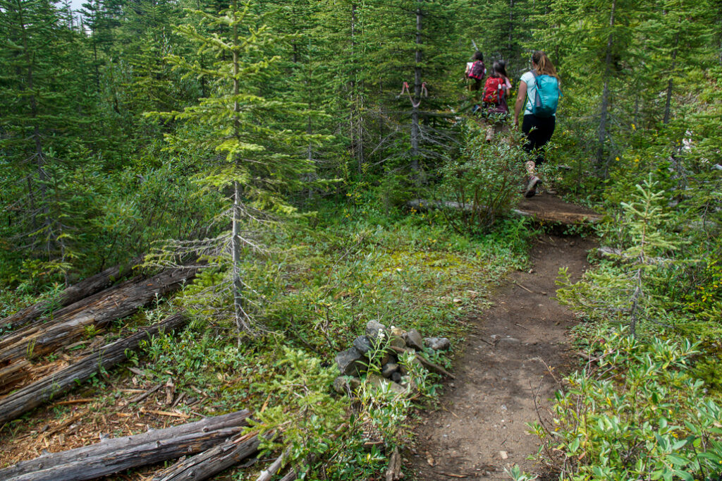
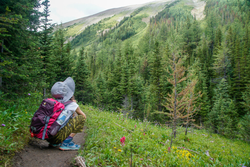
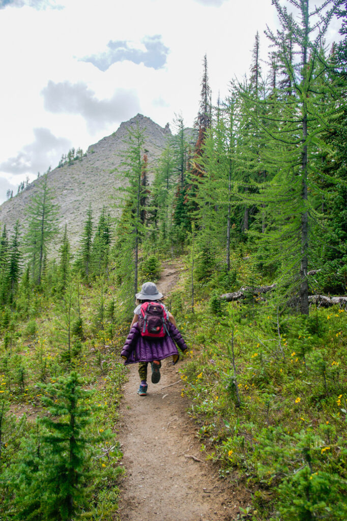
While the start of the trail, a grassy hill near the road, isn’t that inspiring, wildflowers along the trail brighten the way – and the view from the top is totally worth it. The trail begins 200 metres south of the parking area on the other side of the street (look for the grassy cutblock). About 500 metres later, take the trail on the right marked by a small cairn and flagging tape.
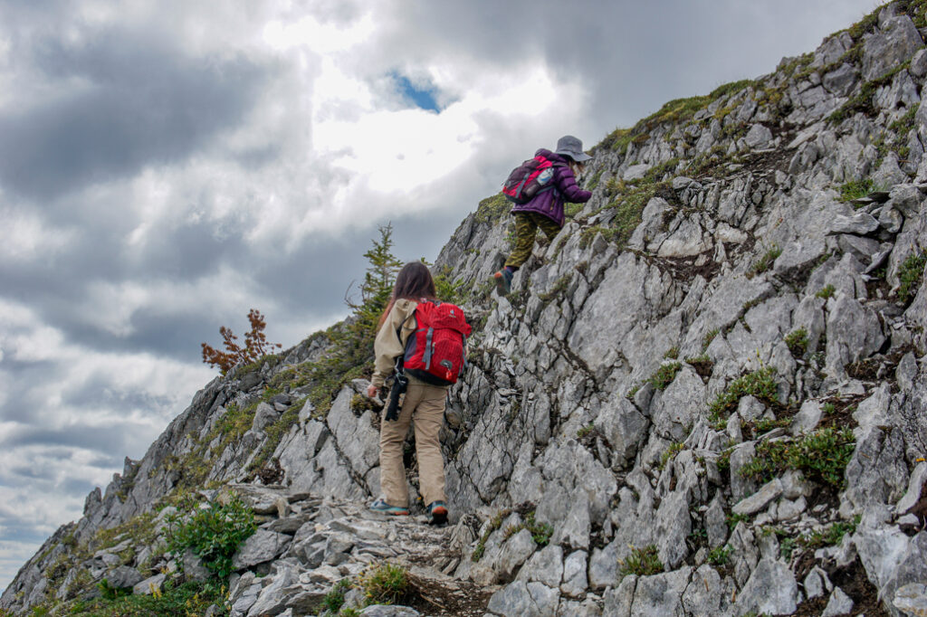
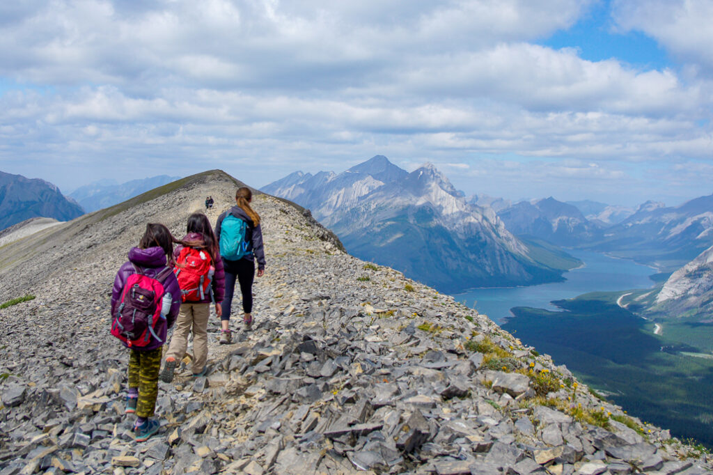
After crossing the creek (45 minutes to 1 hour from the parking lot), you leave the trees behind and can see Tent Ridge from the meadow. Follow the path south, then (2.7 km from the start) go east for 300 metres to approach the left/east arm of the horseshoe to do the loop in a clockwise direction. From here, it’s pretty much straight up. Most of the elevation gain and exposure is on the way to the first summit/weather station, so take your time.
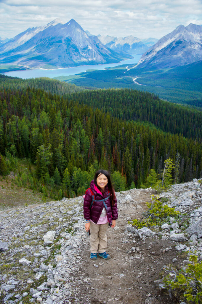
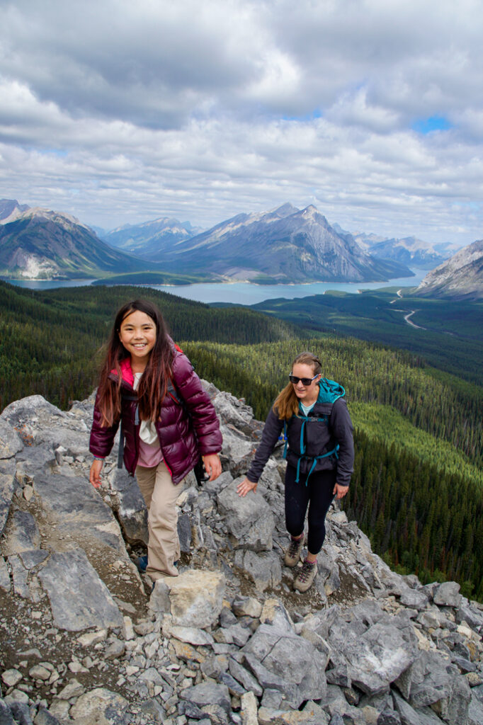
At the rock band, climb up the middle to avoid the drop-off on the left side (it’s possible to walk around on the left if you’re comfortable with exposure). This 3-metre high section will require you to use your hands, but the foot and hand holds are quite large, so if you’re hiking in dry conditions and have done a few easy scrambles and don’t have a fear of heights, it is quite manageable.
For the best views, and an easier descent, hike the Tent Ridge Horseshoe in a clockwise direction. #hikealberta
Tweet
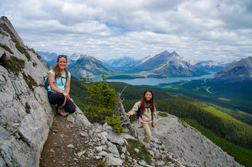
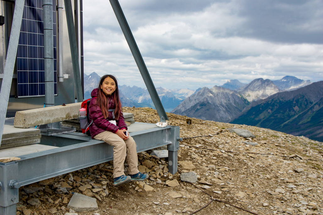
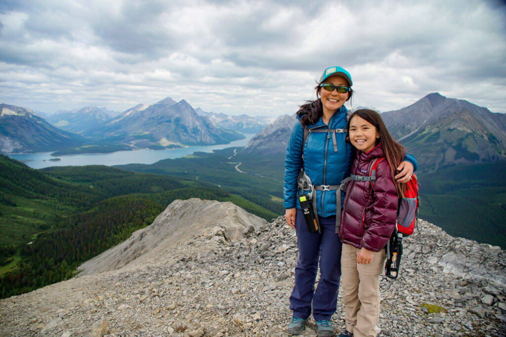
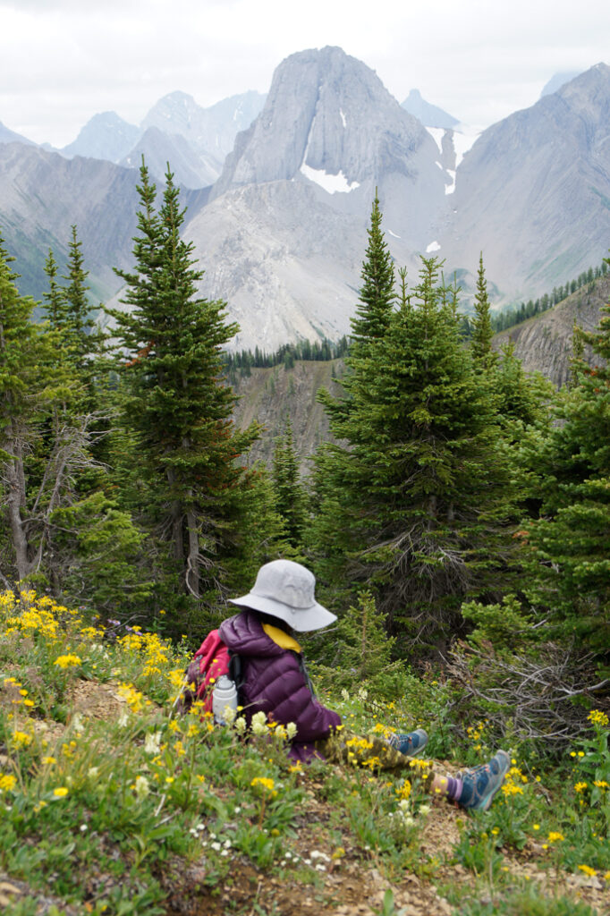
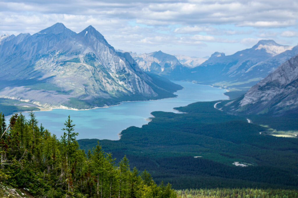
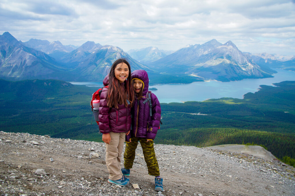
Savor a snack and layer up in the lee of the weather station – it can be windy up there! – and enjoy the view of Commonwealth Peak, Mount Birdwood, and Mount Smuts. Tryst Lake, a much easier larch hike, lies far below the south side of the ridge. You’ve now completed 4 km of the hike, but there is a steep climb between the first and second summits. You will drop 100 metres to the saddle, then climb 144 metres to Tent Ridge’s true summit at 2,520 metres. My youngest, who was 8 at the time, had been in the lead all the way to the weather station, but then needed a few minutes after seeing we had to climb more. Poor kiddo!
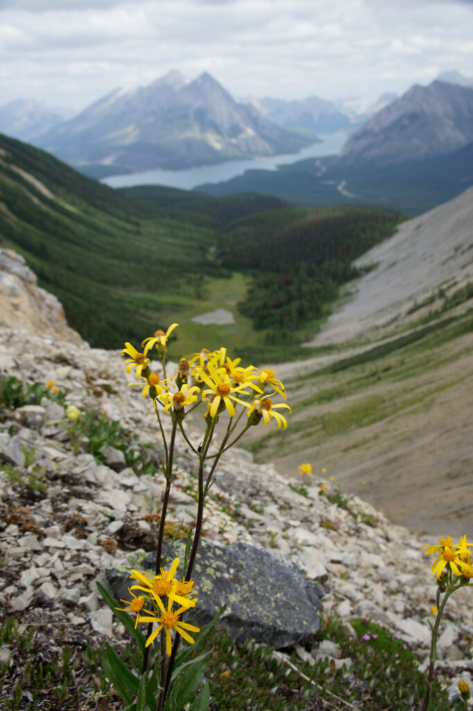
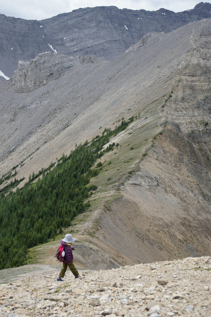
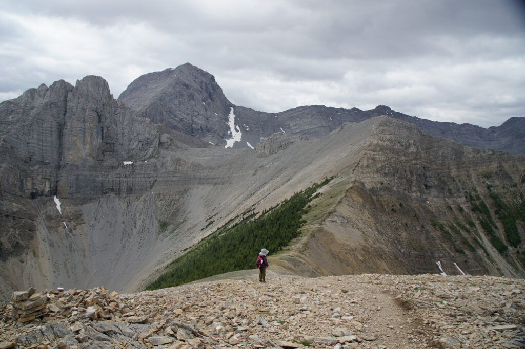
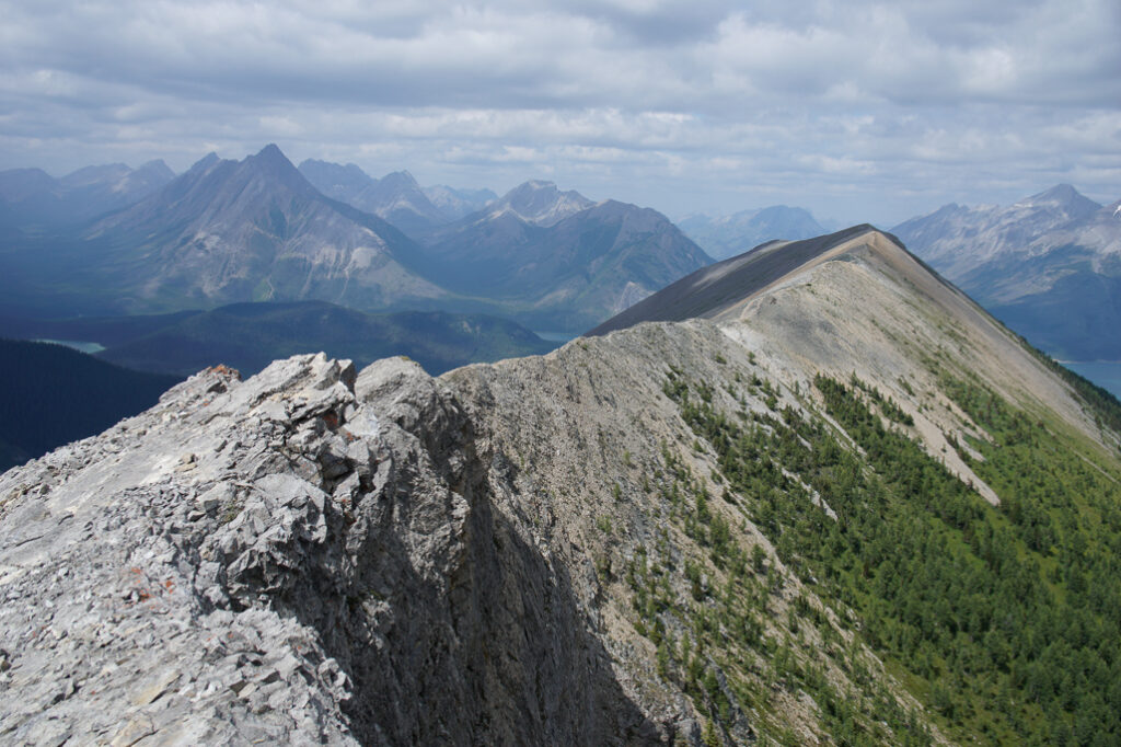
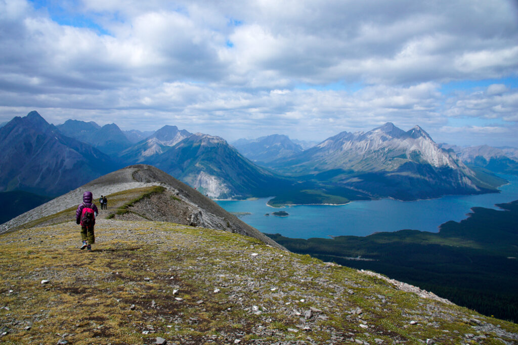
The (2nd / true) summit marks the halfway point distance-wise and from this point on, there are no more big climbs. You will stay above 2,400 metres for the next 1.8 kilometres. As you head north, take in the sights of Mount Assiniboine and Spray Lakes Reservoir. Enjoy the panoramic view from the end of the ridge (6.8 km from the start) before you take the rocky/scree switchbacks down. Trekking poles and good hiking boots will pay for themselves here.
Follow the well-defined trail back to treeline. At 9.4 km, take a right onto an old logging road and follow it to the gravel road. The parking area is just a little south of where the trail ends.
For the perfect ending to a perfect day, treat yourself to Afternoon Tea at Mount Engadine Lodge (daily from 2 pm – 5 pm). Their wonderful charcuterie, tea, and cakes are sure to recharge you!
Tent Ridge At A Glance
- Distance: 10 km round trip
- Elevation gain: 800 metres
- Difficulty: Easy scramble (if hiked clockwise in dry conditions) with some exposure and lots of loose rock.
- Google Maps Directions to Parking: 2nd unmarked pullout 1.8 km past Mount Engadine Lodge (on the right side of the road)
- Trailhead: Backtrack 200 metres south of the parking area (back towards Spray-Dorrien Trail). Look for a wide cutblock (grassy clearing) and walk up the hill.
Alternate Route to Avoid More Difficult Scrambling
Do the ridge counter-clockwise and hike 3.4 km to the ridge top or 5 km to the true summit. Return the way you came to avoid the downclimb below the weather station.
Know Before You Go
A Kananaskis Conservation Pass is required to park in Kananaskis. Purchase your pass online at https://www.alberta.ca/kananaskis-conservation-pass.aspx.
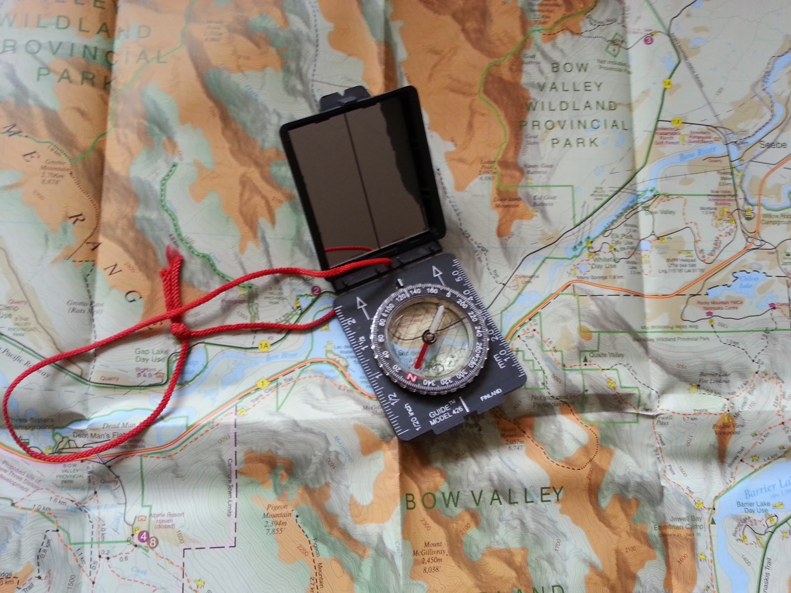
This is an unofficial, unmarked trail so bring a GPS/compass and map of the area, read the route description carefully, and pay attention to landmarks.
There is significant avalanche danger along this trail, so avoid this area in winter conditions. Late June until October is usually the best time of year to hike Tent Ridge.
What to Bring
Disclosure: This section includes affiliate links through which I may earn a small commission at no extra cost to you. Thank you for supporting our website!
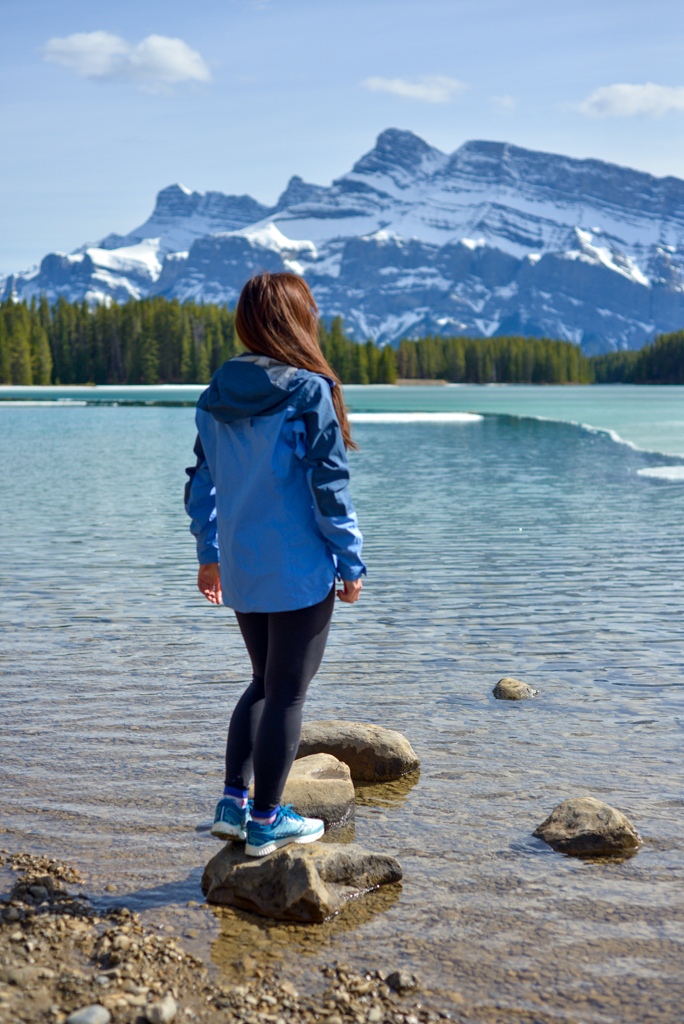
Good hiking boots and a windproof/waterproof shell are must-haves. Trekking poles are recommended for the descent, especially if you have a heavy pack.
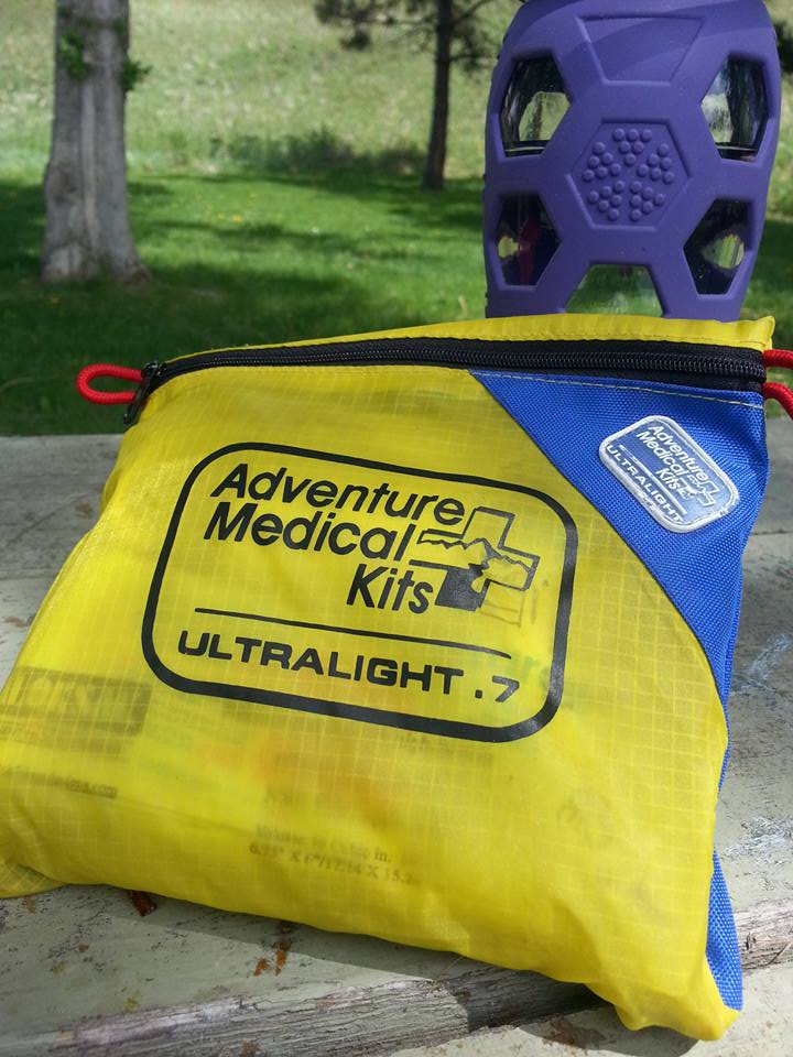
You should also carry The Ten Essentials including: water, extra food, extra clothes, a headlamp, a GPS/compass and map of the area, bug spray (this one contains 20% icaridin and will repel ticks), sunscreen (this one is safe for babies), and bear spray. Carry bear spray in a Frontiersman Bear Spray Holster (attaches to your backpack or belt) or Scat Belt.
In winter conditions, traction devices such as Kahtoola Microspikes (Available from Amazon or MEC), or Hillsound Trail Crampons (Available at Amazon and Sport Chek) are recommended. Reminder: This trail has significant avalanche danger, so we do not recommend Tent Ridge when there’s lots of snow on surrounding peaks.
Where to Stay
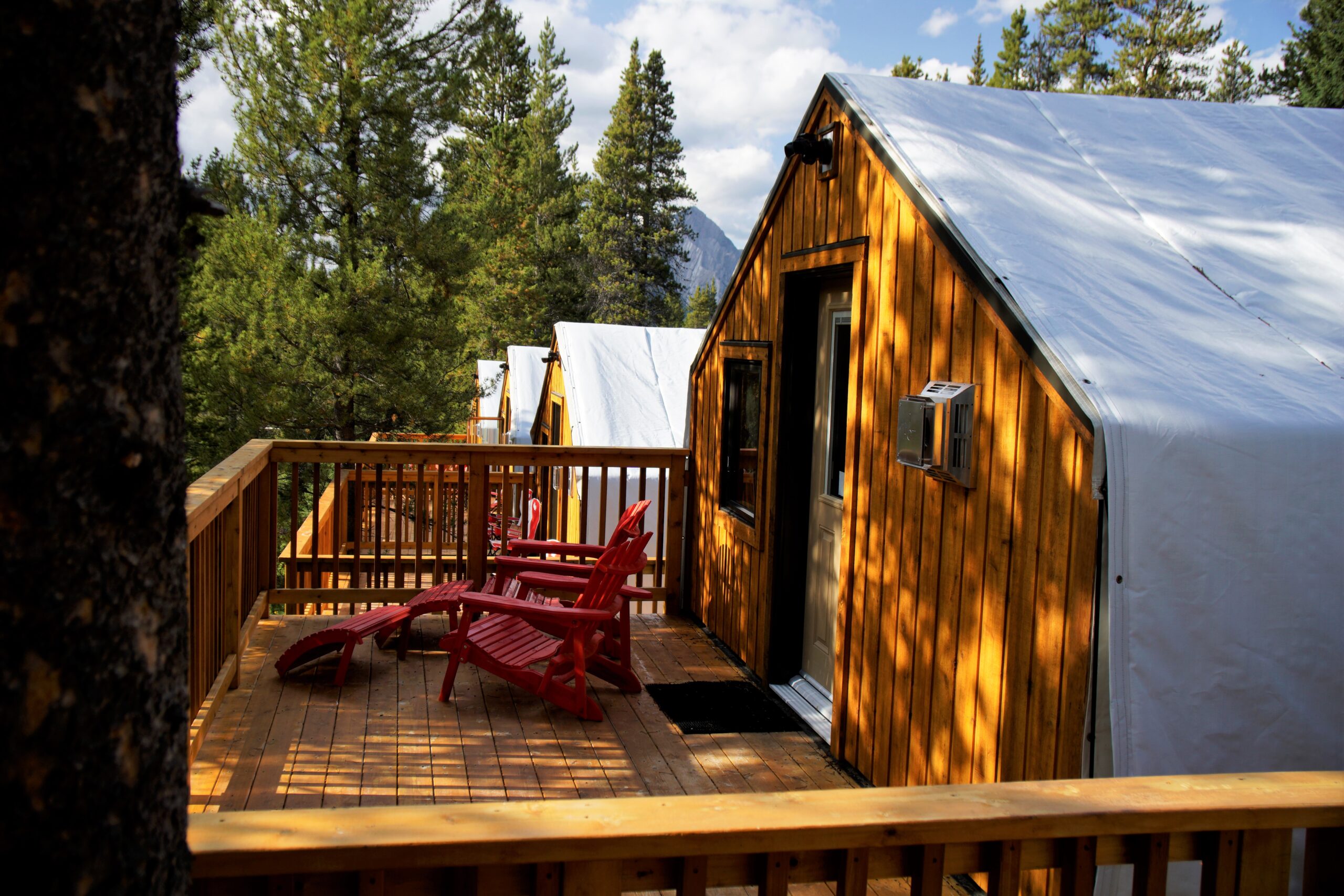
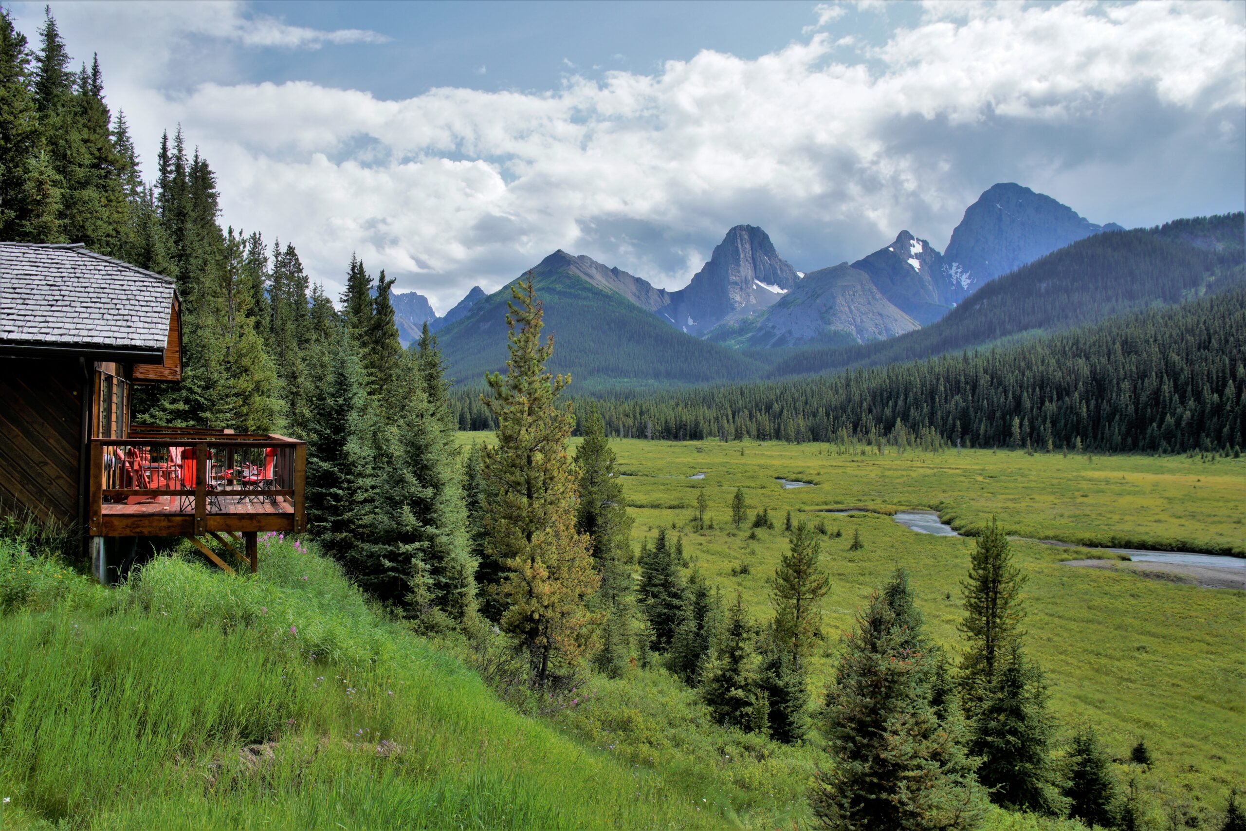
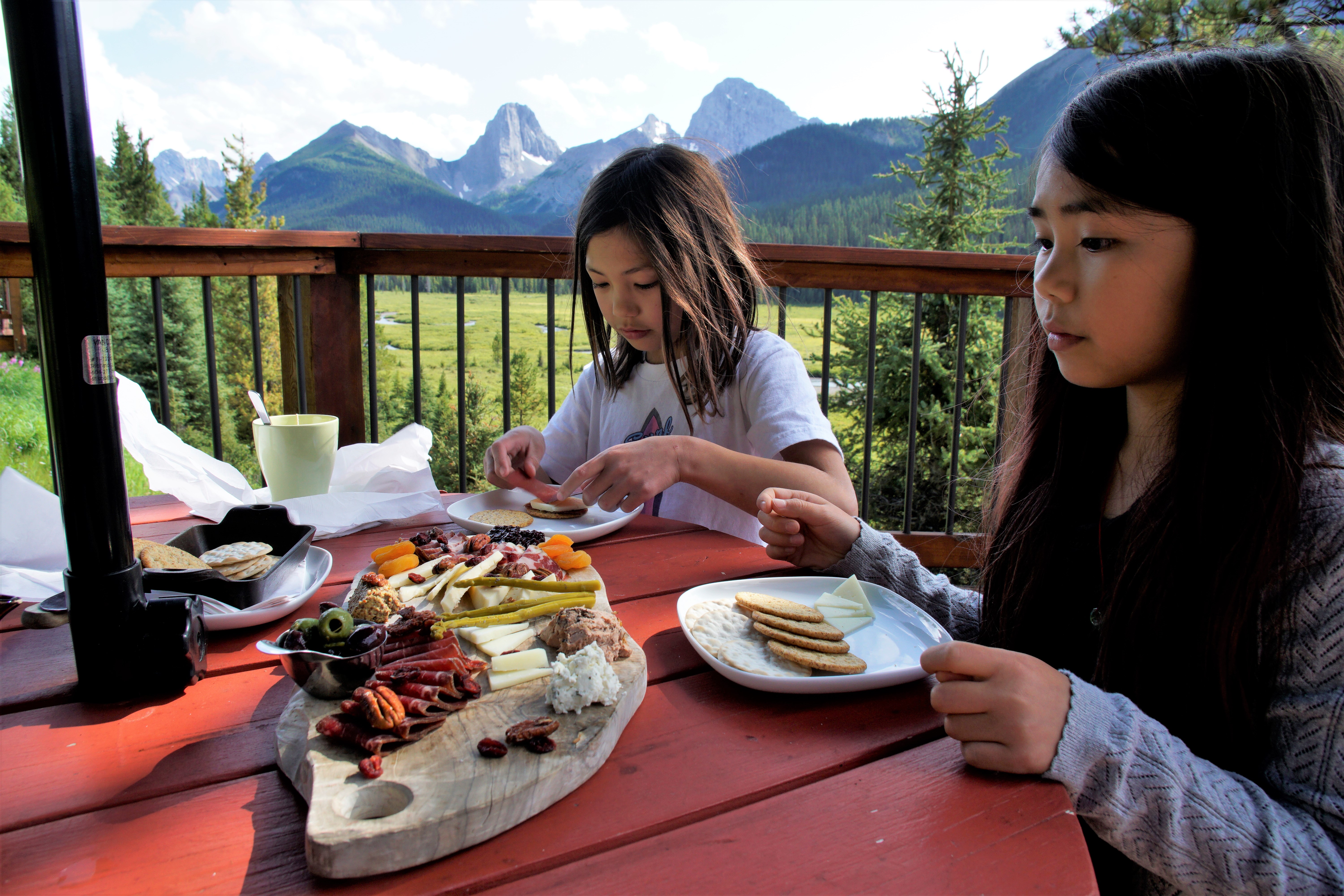
For a special occasion, stay at the luxurious Mount Engadine Lodge (Expedia affiliate link). Choose from lodge rooms, cabins, glamping tents, or a yurt, and enjoy gourmet meals with your stay. Read about our stay in this story: Glamping at Mount Engadine Lodge in the Heart of Kananaskis.
If you prefer to camp, try West Spray Lakes Campground (first come, first served; open May long weekend to mid September) or reserve an Alberta Parks campsite near Upper and Lower Kananaskis Lakes. For all your options, see our Peter Lougheed Provincial Park Camping Guide.
Related Posts
- 25+ Waterfall Hikes in Southern Alberta
- 20+ Super Scenic Hikes Near Calgary
- Fantastic Fall Larch Hikes in Kananaskis
- The Best Fall Hikes in Kananaskis


7 comments
[…] Tent Ridge Horseshoe […]
[…] the hike is on the longish side, its moderate elevation gain makes it a lot easier than nearby Tent Ridge. To shave off some time, mountain bike the first 2.7 km to the bike racks. Some creek crossings are […]
[…] Tent Ridge […]
[…] and dinner, we play cards on our private deck and enjoy the view. Across the creek, we can see Tent Ridge, our objective for the next day. It’s peaceful here, away from the hustle and bustle of town. The […]
[…] Tent Ridge Horseshoe […]
[…] Lake, nestled between The Fist and Tent Ridge, is a popular fall hike in Spray Valley Provincial Park. Go in late September when the larches’ […]
[…] steep hike to Tryst Lake, a little lake (more of a pond in fall) nestled between The Fist and Tent Ridge. For a better view of the larches, go to the east end of the lake and hike up the ridge (on the […]
Comments are closed.