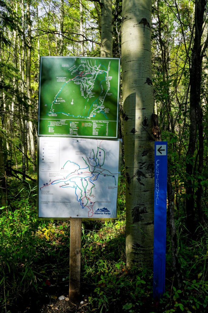
Centennial Ridge, the highest maintained trail in the Canadian Rockies, is a beautiful ridgewalk in the heart of Kananaskis.
While Centennial Ridge is a long and strenuous trail, there is no need to summit Mount Allan to enjoy gorgeous views (but it is definitely worthwhile if you have the time and energy)! Departing from Ribbon Creek, you reach meadows full of wildflowers in only 3 steep kilometres. In autumn, hike a little further to see golden larches.
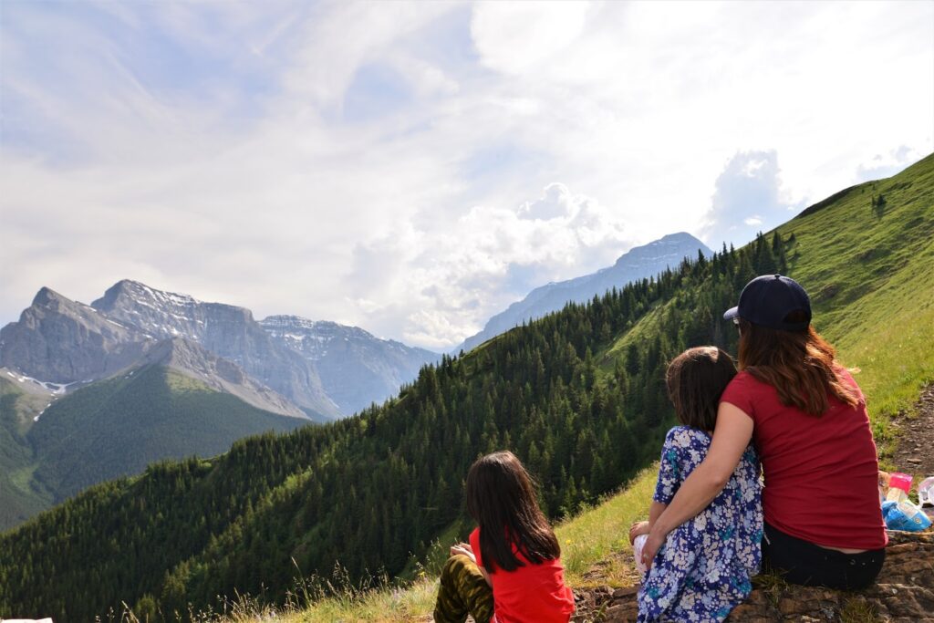
Table of Contents
Route Description
The trailhead is near the information kiosk on the north side of the parking lot. Follow the Hidden Trail sign, and go north (straight) for 400 metres, then turn left at the Centennial Ridge Trail sign.
From here, the trail gets very steep! You will gain about 600 m elevation over the next 2.6 kilometres, but it’s totally worth it. Hike through mixed forest to the first lookout also known as Coal Mine Viewpoint. While there was a coal strip mine in operation here 1947 to 1952, the mine scar is now a grassy meadow offering gorgeous mountain views. You’ll know you’re almost there, when the trail veers to the left.
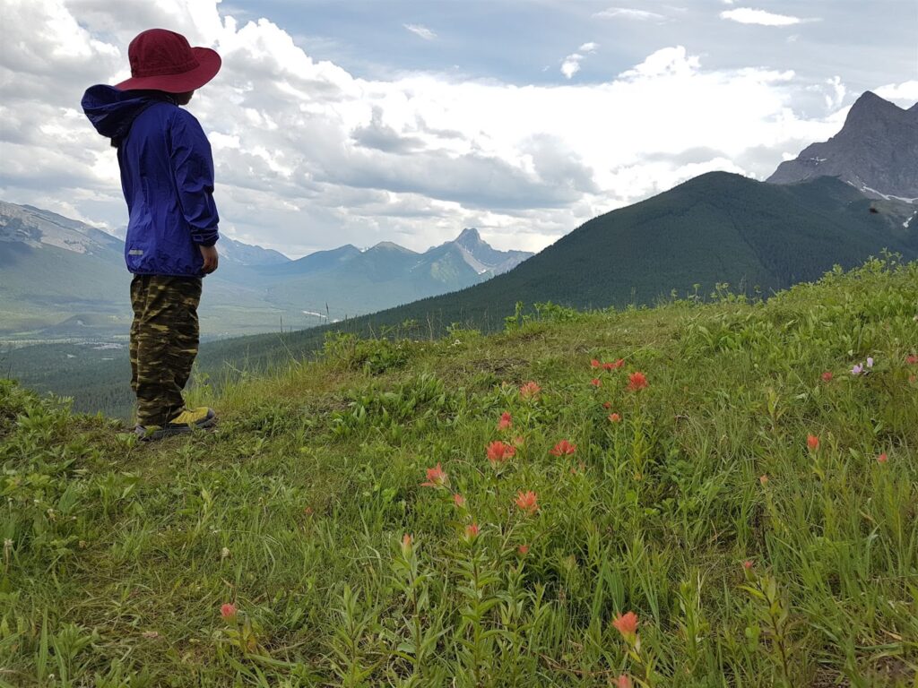
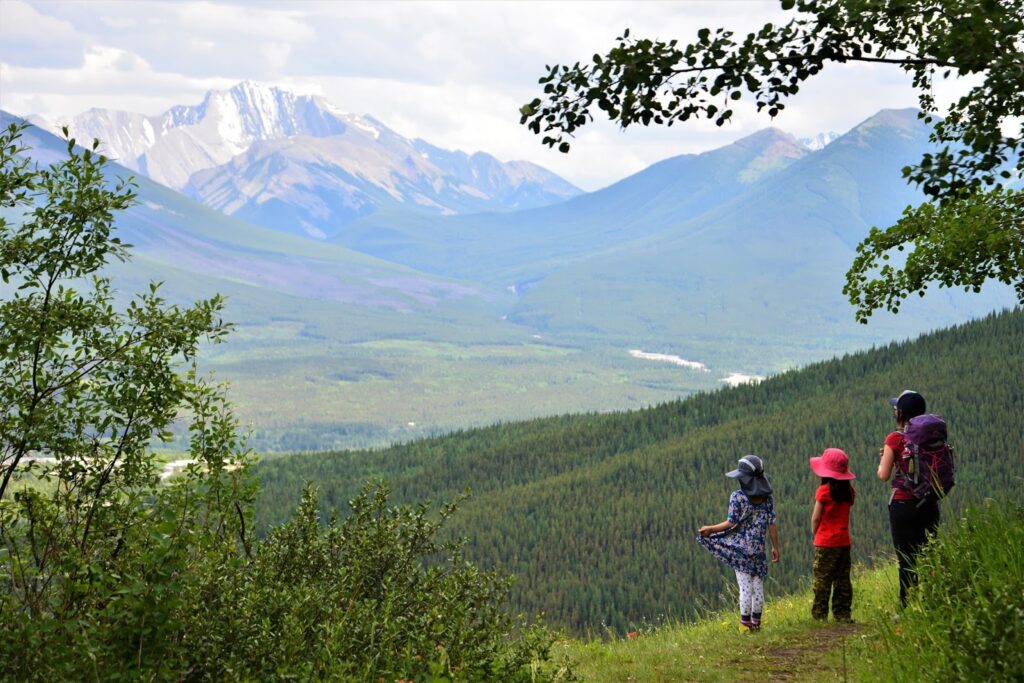
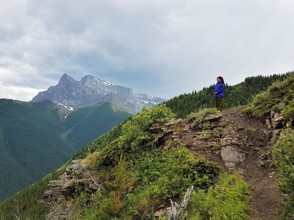
Return to the main trail and continue to climb. You will leave the trees shortly and be surrounded by meadows that are filled with wildflowers from early July until August. There’s a nice flat area about 3.2 km from the parking lot that makes a nice snack/picnic spot; we call it “second lookout.”
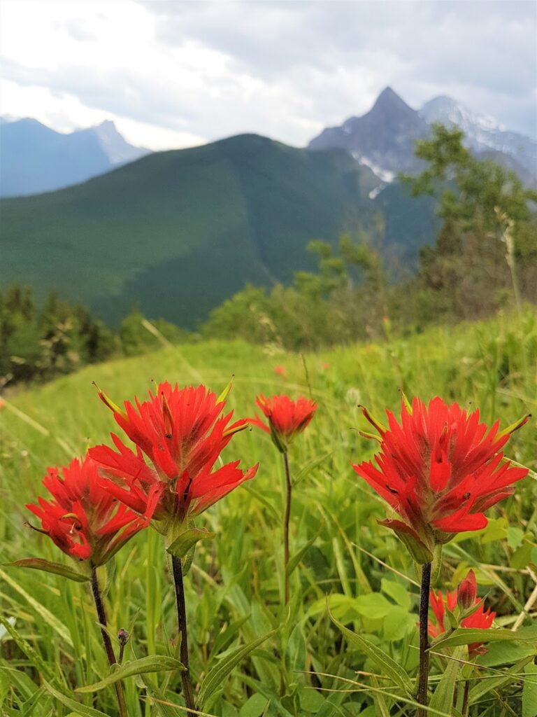
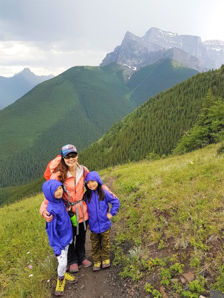


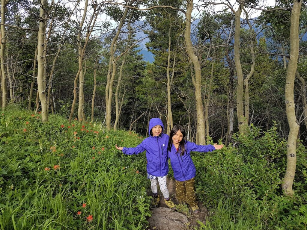
The trail is well marked with signs and orange diamond-shaped markers above treeline, so no route finding is required. Enjoy the trail and wildflowers! Hike as far as you wish, enjoy sweeping views of Kananaskis Valley, then return the way you came. Treat yourself to ice cream or dinner at nearby Kananaskis Village afterwards.
Centennial Ridge Trail at a Glance
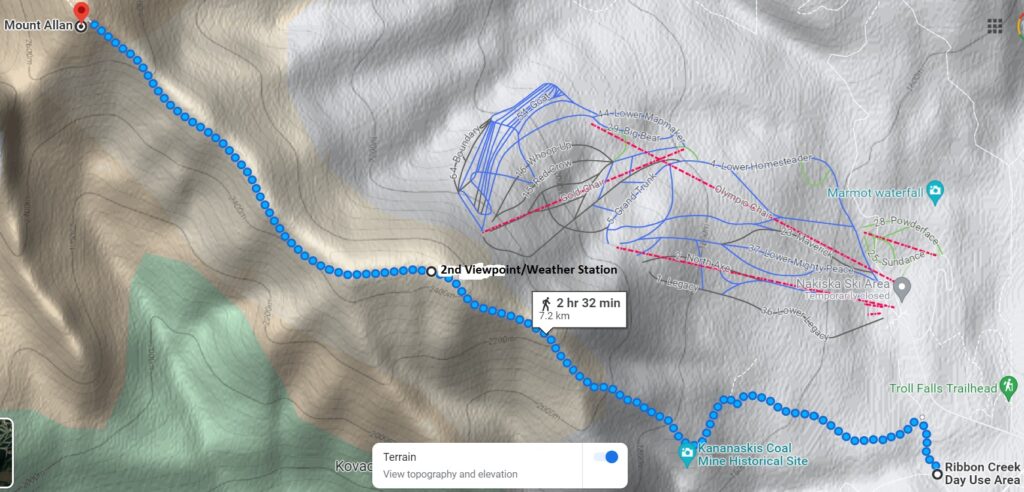
Image credit: Google Maps
Distance (one way) and elevation:
- 2.3 km to First Lookout / Coal Mine Viewpoint, 250 m elevation
- 3.2 km to Second Lookout / Shoulder of Centennial Ridge, 680 m elevation
- 4.3 km to Olympic Summit (just past the Nakiska Ridgetop weather station), 1000 m elevation
- 5.8 km Rock Garden, 1100 m elevation
- 7.9 km to Mount Allan Summit, 1450 m elevation
Washrooms: Pit toilets at Ribbon Creek parking lot
Stroller Friendly: No
Going Further
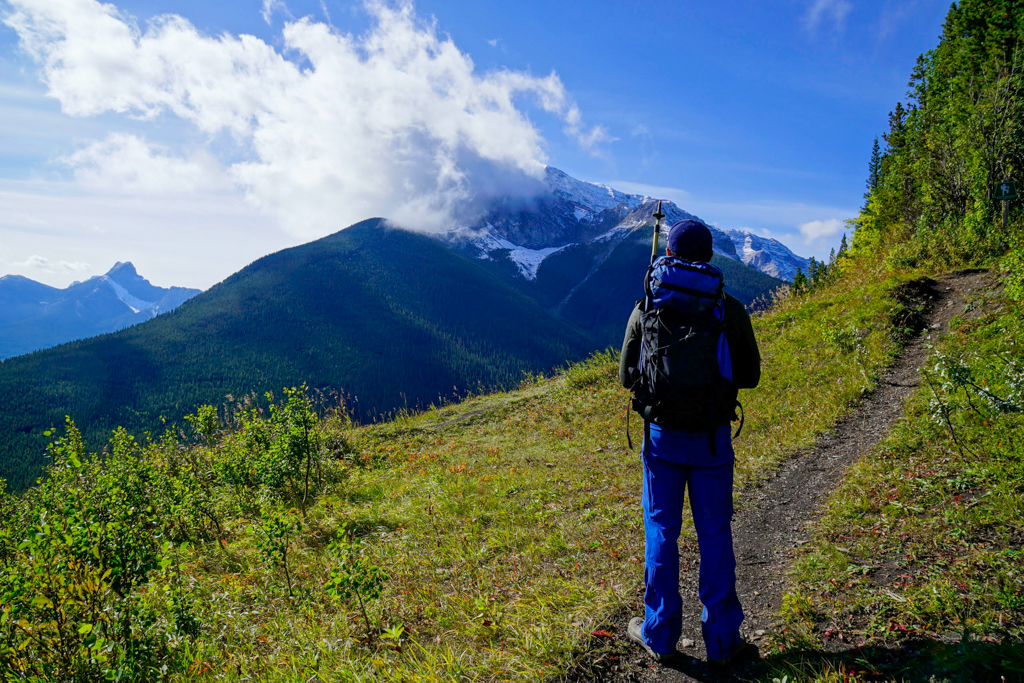
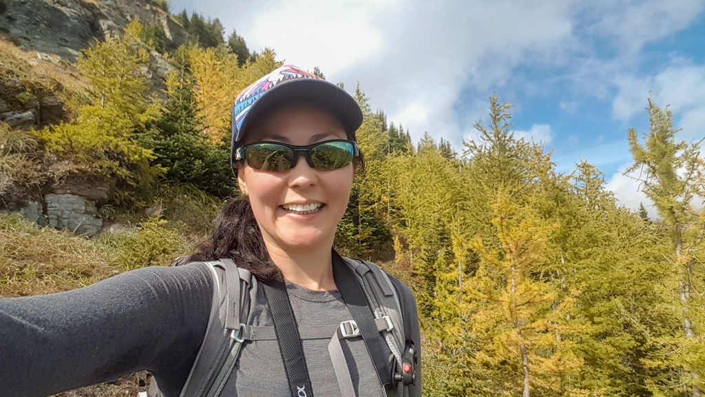
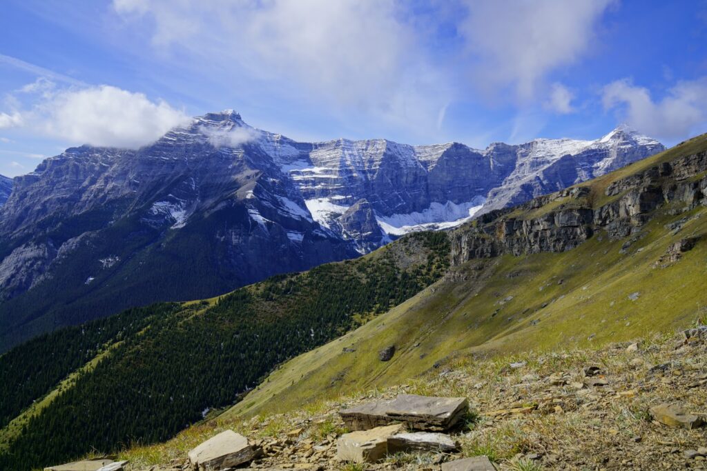
The bump above the second lookout is a false summit. You will ascend a few more bumps before reaching Olympic Summit. Look for larches near the second bump if you’re hiking here in late September.
Beyond Olympic Summit is the “rock garden” (about 6 km from the parking lot) – a grouping of large, conglomerate rocks and pinnacles – and summit of Mount Allan.
Know Before You Go
There is an Annual Seasonal Closure: April 1 – June 21 for the bighorn sheep lambing season.
You are in bear country! Carry bear spray, travel in a group, and make noise to alert bears of your presence. See our Bear Safety Tips for Hikers for more information.
What to Bring
Disclosure: This section includes affiliate links through which I may earn a small commission at no extra cost to you. Thank you for supporting our website!
Good hiking boots and a windproof/waterproof shell are must-haves. Trekking poles are recommended for the descent, especially if you have a heavy pack.
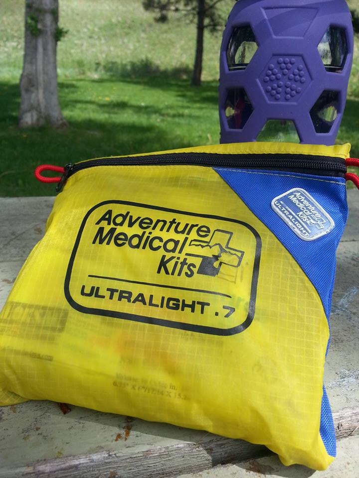
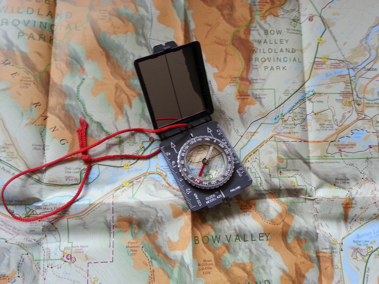
You should also carry The Ten Essentials including: water, extra food, extra clothes, a headlamp, a GPS/compass and map of the area, bug spray (this one contains 20% icaridin and will repel ticks), sunscreen (this one is safe for babies), and bear spray. Carry bear spray in a Frontiersman Bear Spray Holster (attaches to your backpack or belt) or Scat Belt.
In winter conditions, traction devices such as Kahtoola Microspikes (Available from Amazon or MEC), or Hillsound Trail Crampons (Available at Amazon and Sport Chek) are recommended. Reminder: This trail has avalanche danger at/above treeline, so we do not recommend this trail when there’s lots of snow on the mountain.
Where to Stay
Ribbon Creek Hostel and Pomeroy Kananaskis Mountain Lodge are your closest options.
The nearest campground is Mount Kidd RV Park. There is also great camping in Peter Lougheed Provincial Park about 40 minutes away. For more information, please see our Peter Lougheed Provincial Park Camping & Recreation Guide.
More Kananaskis Ridge Hikes

