The popular trail to Rawson Lake takes you from Upper Kananaskis Lake, past Sarrail Falls, and up switchbacks to a beautiful alpine lake. In summer and early fall, you can hike above the lake for a spectacular bird’s-eye view from Sarrail Ridge.
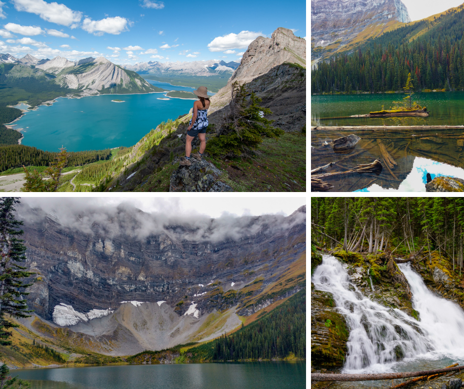
Table of Contents
Rawson Lake Route Description
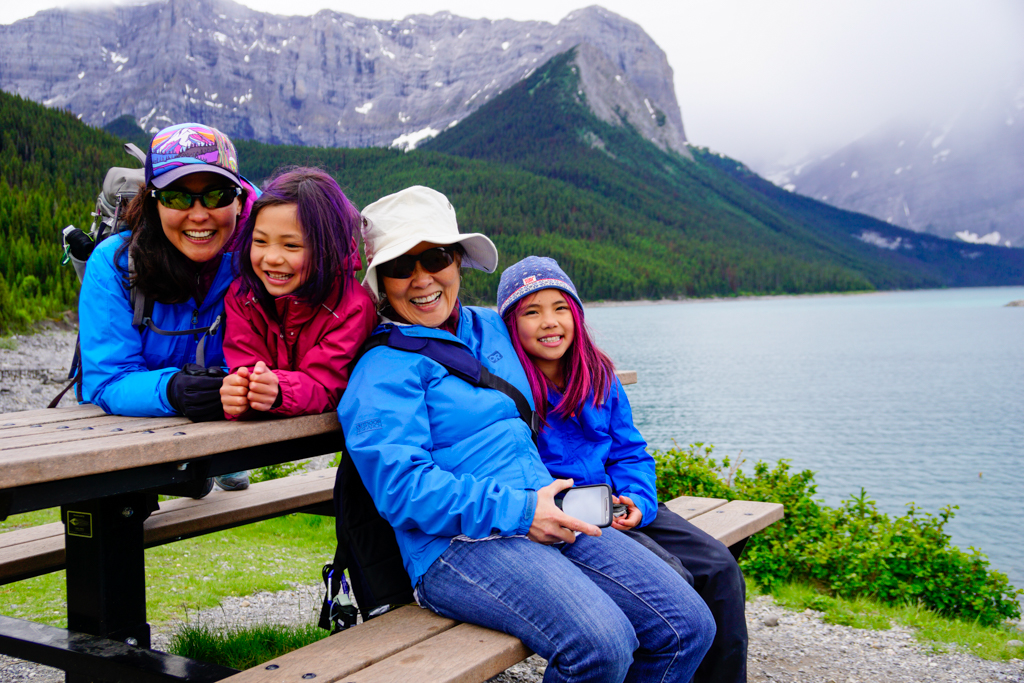
With lakes, mountain views, and a waterfall in just a few kilometres, Rawson Lake is one of the most popular trails in Kananaskis. Since it isn’t too long or steep, it’s a family favorite that can be hiked all year – though you’ll need microspikes or snowshoes in winter. This beautiful trail is in prime grizzly habitat, so be bear aware and carry bear spray.
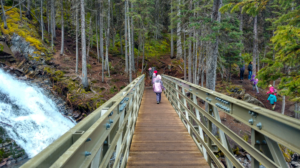
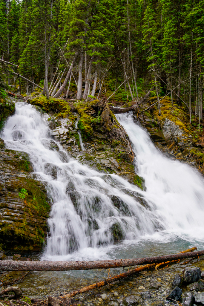
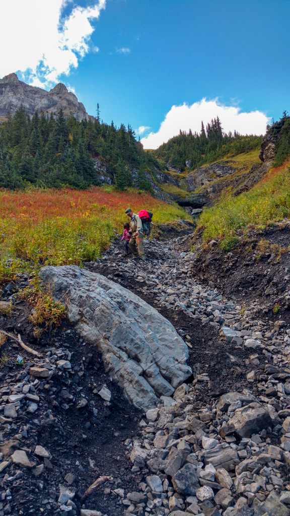
The well-marked gravel trail begins at Upper Kananaskis Lake, just past the outhouses, and offers views of the lake and Mount Indefatigable right away. This first 1.2 km section is relatively flat (except for the hill near the start which you’ll have to go up on the way back) until the junction which is just past Sarrail Falls/Sarrail Creek bridge. We like stopping for a snack near the falls before the switchbacks start.

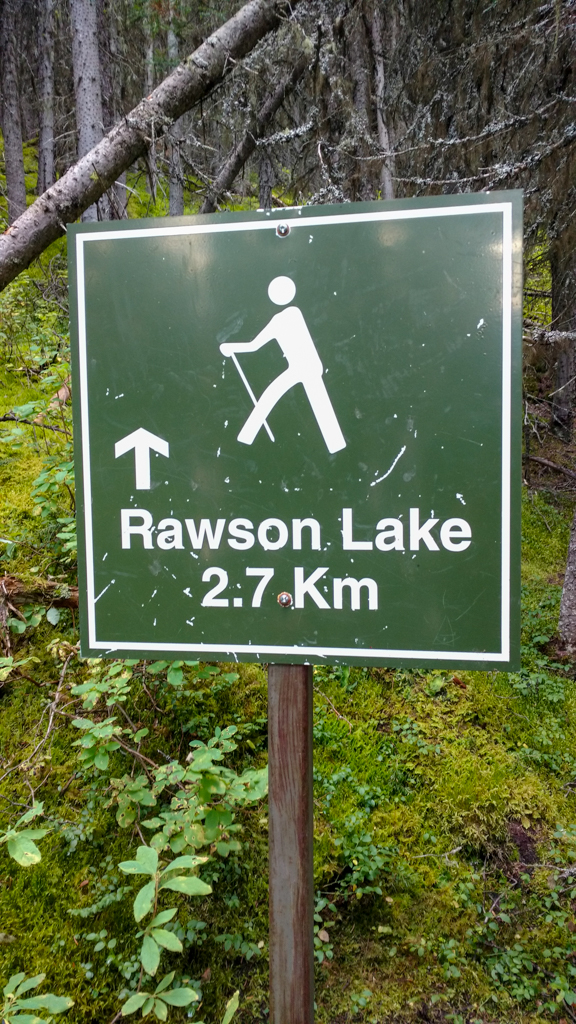
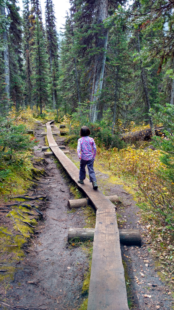
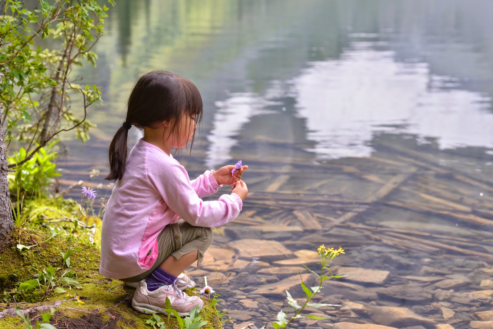
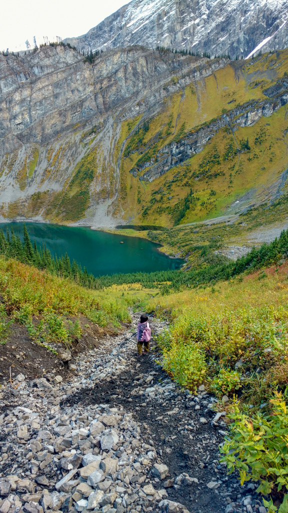
A map marks the junction with Rawson Lake Trail. From here, it’s only 2.7 kilometres to the lake, but most of the elevation is in the first half so pace yourself on the switchbacks. As you get closer to the lake, the vegetation gets lusher, narrow “boardwalks” (split logs) will keep your boots dry in soggy spots, and you’ll hear the creek flowing. In early July, look for wildflowers along the trail, and in the meadow en route to Sarrail Ridge’s summit.

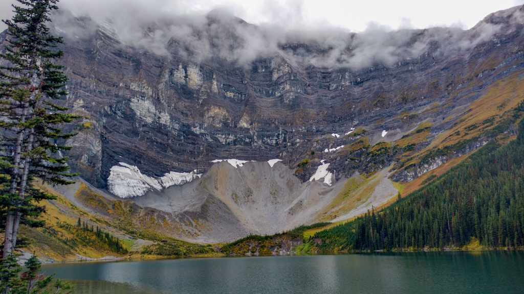
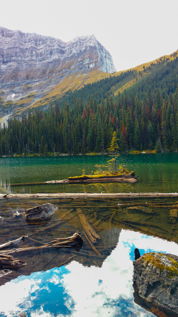
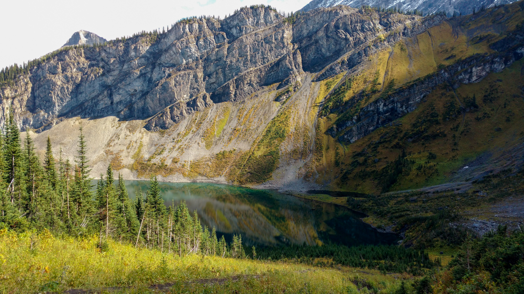
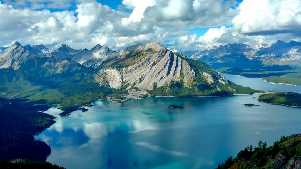
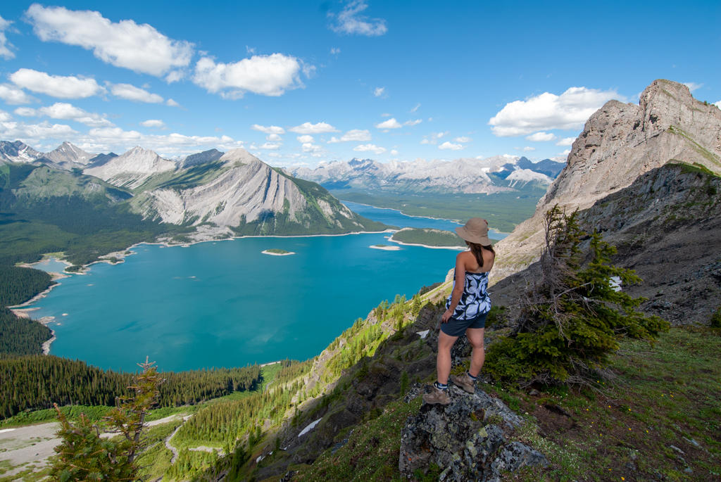
Rawson Lake sits at the foot of Mount Sarrail’s dramatic rock face. If it’s a calm day (or you have a polarizing filter), you can capture perfect reflections in the water. In the summer months (and early fall most years), you can hike around the left (south) side of the lake and see how the water changes color with depth. If you’re lucky, you might see an eagle or fly fisher catch cutthroat trout.
We recommend picnicking on the close (east) side of Rawson Lake since moose and grizzly bears frequent the west side. Return the way you came – it’s a lot quicker going down the switchbacks!
Rawson Lake Trail at a Glance
IN WINTER CONDITIONS, THE TRAIL ENDS AT RAWSON LAKE. THERE IS SIGNIFICANT AVALANCHE DANGER BEYOND THE LAKE.
- Distance: 3.9 km one way
- Elevation gain: 320 m
- Difficulty: easy to moderate
- Nearest washrooms: Upper Kananaskis Lake Day Use
- Parking: Upper Kananaskis Lake Day Use. Click here for Google Maps directions.
- Trailhead: south side of the parking lot (past the outhouses)
- Trail type: Official, well marked
- Stroller-friendly? No – after the Rawson Lake turnoff, the trail is narrow and rooty
- Cell phone service? No
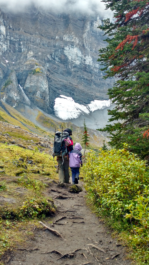
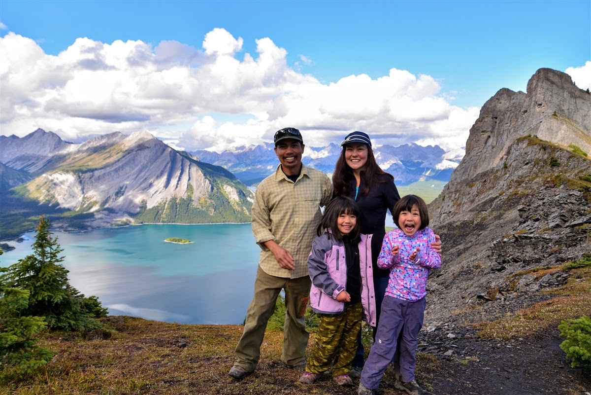
Going Further to Sarrail Ridge – SUMMER & EARLY FALL ONLY
THERE IS EXTREME AVALANCHE DANGER FROM RAWSON LAKE TO SARRAIL RIDGE. DO NOT ATTEMPT IN WINTER CONDITIONS.
Distance: 5.6 km from Upper Kananaskis Lake parking lot / 1.7 km from Rawson Lake
Elevation gain: 675 m from parking lot / 355 m from Rawson Lake
Difficulty: Difficult due to super steep last kilometre.
Trail type: Unofficial, unmarked

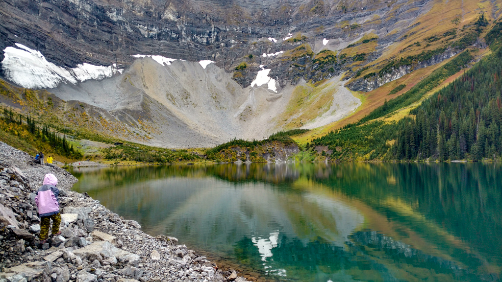
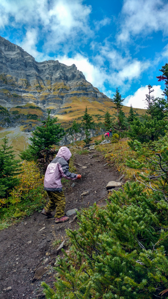
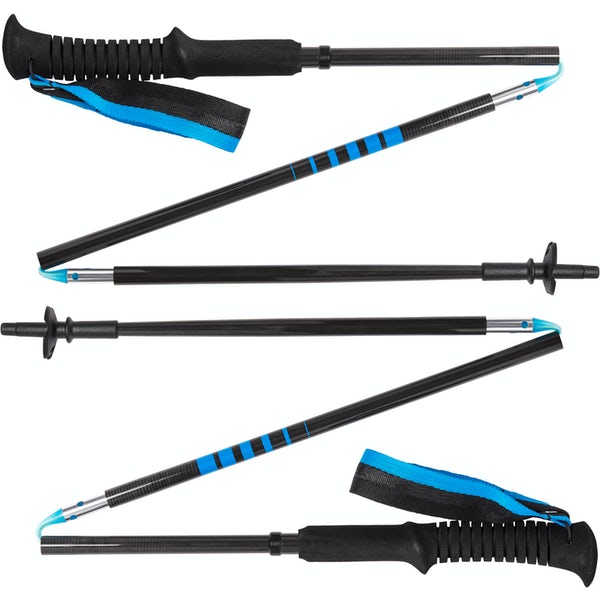
In summer and early fall, you can hike up to Sarrail Ridge from Rawson Lake. Continue around the left side of the lake and follow the trail around the far side of the lake. Your objective is the grassy/treed ridge on the north side of the lake. The unofficial trail along the gully is extremely steep (you will gain 355 metres of elevation over 1 kilometre!), so hiking boots and trekking poles are required. We’ve seen many a tumble and skinned knees and hands on this section (other’s injuries, not ours)!
There are several picturesque spots along the ridge as you go to the right (east). Watch your step as it’s a long way down from the airy ridge (huge drop-off on the south side). Once you’ve had your fill of the spectacular views of Upper and Lower Kananaskis Lake and Mount Indefatigable, return the way you came.
When to Go
Rawson Lake Trail is open year-round, but is prone to closures during berry season when bears are feeding. Check the Alberta Parks – Peter Lougheed Provincial Park Trail Report before you go. Sarrail Ridge should only be attempted in summer conditions when the trail is dry (it would be super slippery and dangerous when wet due to how steep it is.
IN WINTER, THE TRAIL ENDS AT THE LAKE. DO NOT PASS/CROSS THE LAKE – THERE IS SIGNIFICANT AVALANCHE DANGER!
Know Before You Go
- A Kananaskis Conservation Pass is required to park in Kananaskis. Purchase your pass online from the Government of Alberta.
- You are in bear territory. Review our Bear Safety Tips and keep bear spray accessible.
- Dogs must be kept on a leash.
- Pack out all trash and dog poop.
Getting Here
The Rawson Lake Trailhead is located at Upper Kananaskis Lake (Google Maps pin), 137 km SW of Calgary. Take Highway 1 west to Highway 40. Go south on Hwy 40 for 50 km, then turn right onto Kananaskis Lakes Trail. Continue on Kananaskis Lakes Trail for 12.6 km, then turn left at the sign for Upper Kananaskis Lake. The trailhead is located at the far end of the parking lot, past the outhouses.
What to Bring
Disclosure: This section includes affiliate links through which I earn a commission on qualifying purchases at no extra cost to you.
Waterproof mid-height hiking boots, a down hoody or fleece, toque, gloves, and windproof/waterproof shell are recommended year round. Trekking poles are useful for long hikes, steep descents, or when you’re carrying a fully-loaded backpack (or are babywearing). You should also carry The Ten Essentials including: water, extra food, extra clothes, a first aid kit, headlamp, GPS / compass / Garmin inReach Mini 2 satellite communicator* and map of the area, mineral sunscreen, bug spray (this DEET-free insect repellent contains 20% icaridin and will repel ticks), and bear spray. Carry bear spray in a Bear Spray Holster or Scat Griz Bear Spray Running Belt.
*A Garmin inReach Mini 2 satellite communicator is highly recommended for contacting Search & Rescue and emergency contacts in the event of an emergency, or communicating with friends and family when you are out of cell phone range. You can send text messages and your GPS coordinates via satellite, but a monthly service plan is required.
In snowy/icy conditions, traction devices such as Kahtoola Microspikes (Available from Amazon, MEC, and Valhalla Pure Outfitters), or Hillsound Trail Crampons (Available at Valhalla Pure Outfitters and Sport Chek) are recommended. See our Fall/Winter Hiking Gear Guide for recommended clothing and gear.
Related Posts
- Tent Ridge Horseshoe
- Waterfall Hikes in Southern Alberta
- The Best Short Hikes in Kananaskis
- The Best Spring and Fall Hikes in Kananaskis
- The Best Winter Hikes near Calgary
