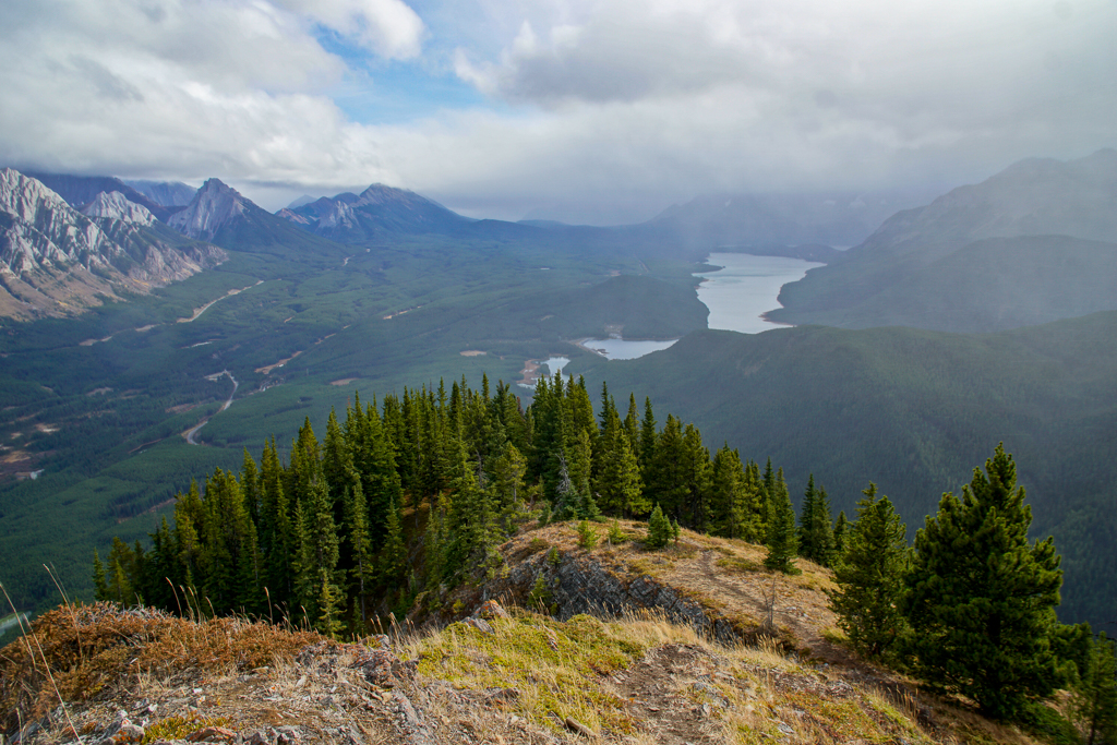
South Lawson Peak (Little Lawson) is one of the best short summits in Kananaskis. In only two hours, you get fantastic views of King Creek Ridge, Mount Wintour, Kananaskis Lakes, and surrounding peaks.
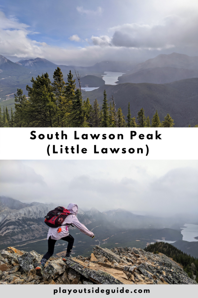
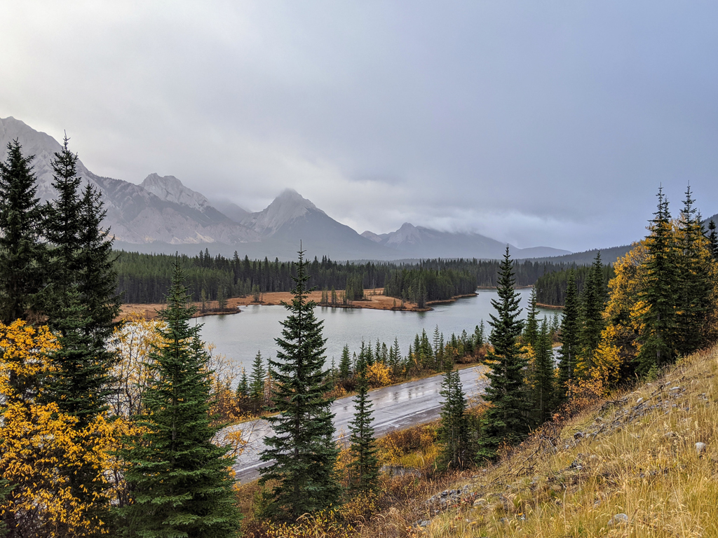
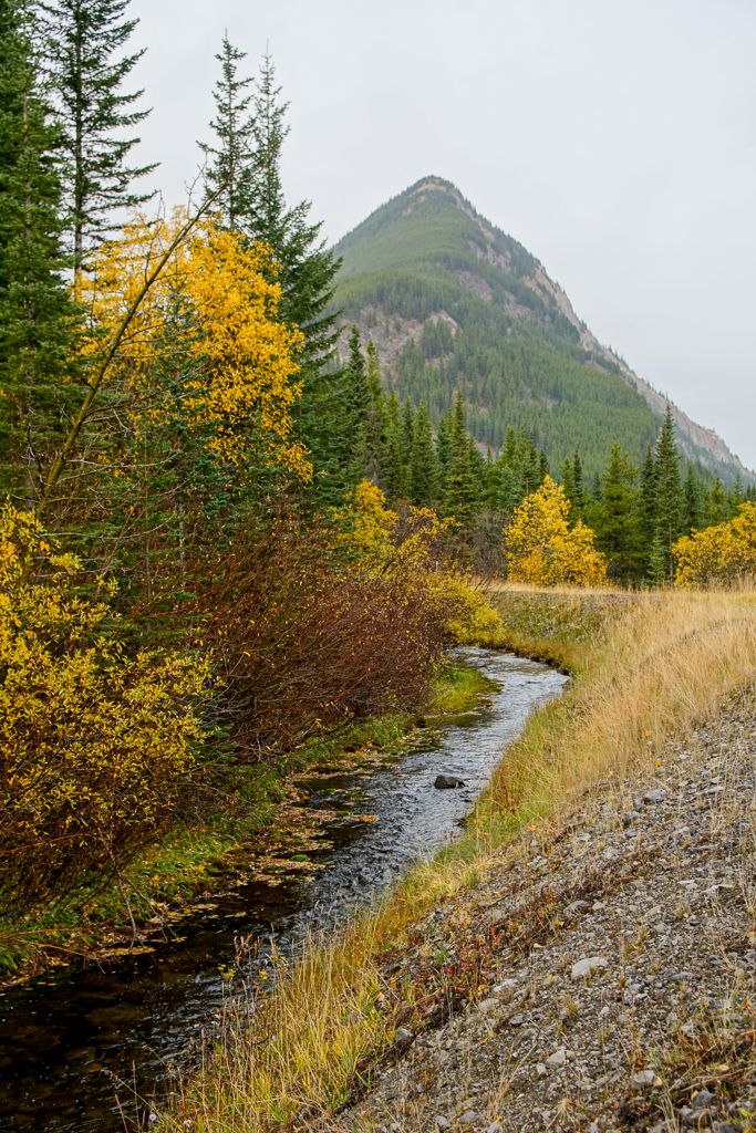
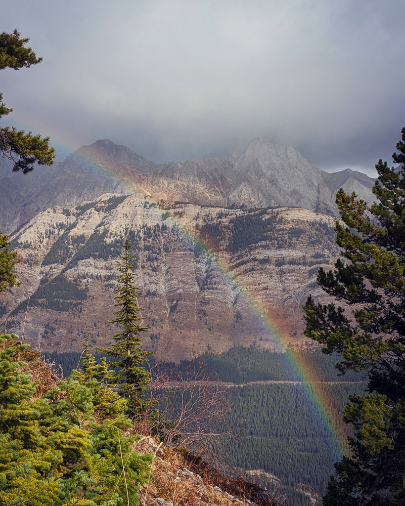
On a damp day in October, we hiked South Lawson Peak, also known as Little Lawson or the South End of Lawson. The trail was deceivingly easy at the beginning – a flat, gravel road – but surprisingly scenic with some fall color hanging on. As we passed Spillway Lake, King Creek Ridge came into view. To our left, raindrops splashed in the trough (Kent Creek Flume) which diverts Kent Creek’s waters to Lower Kananaskis Lake.
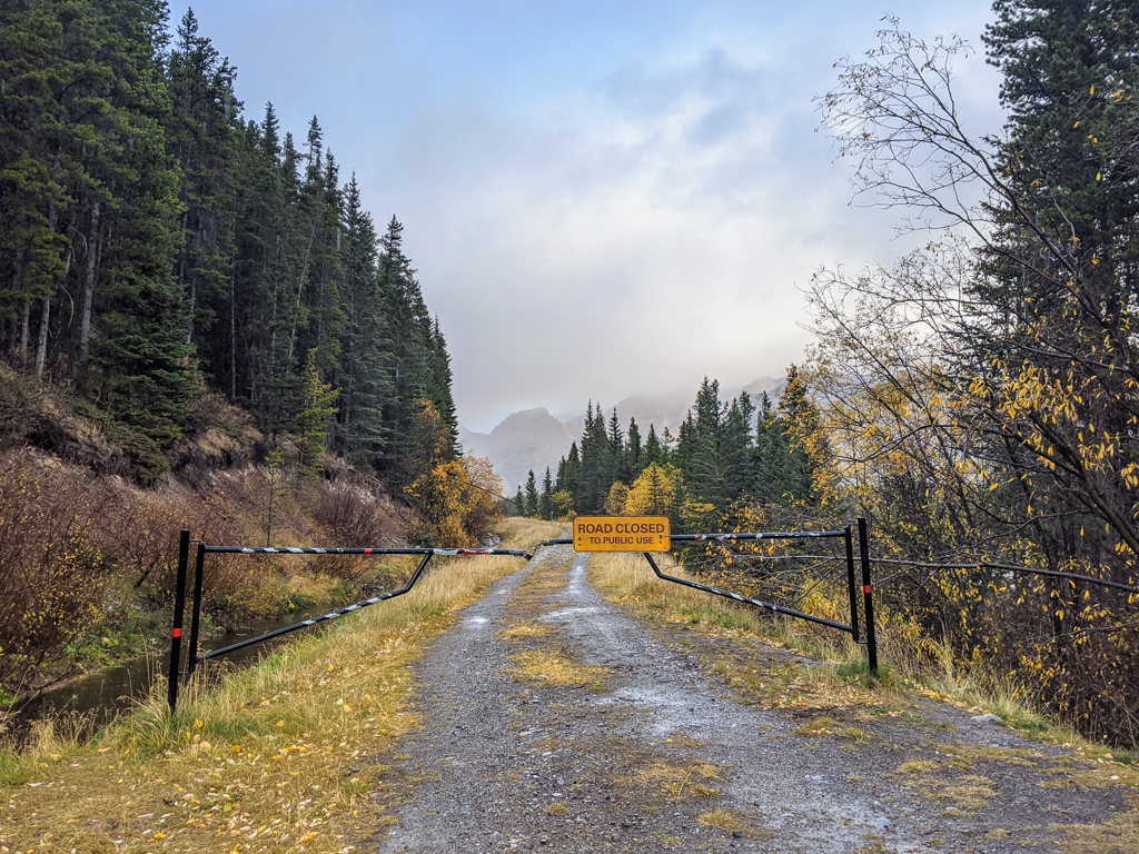
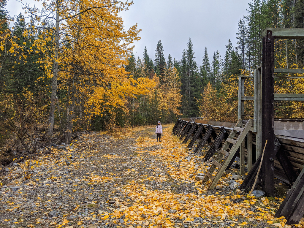
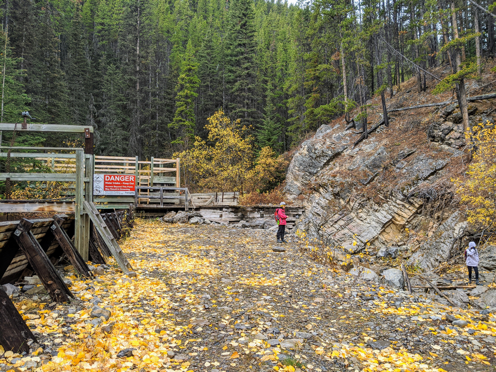
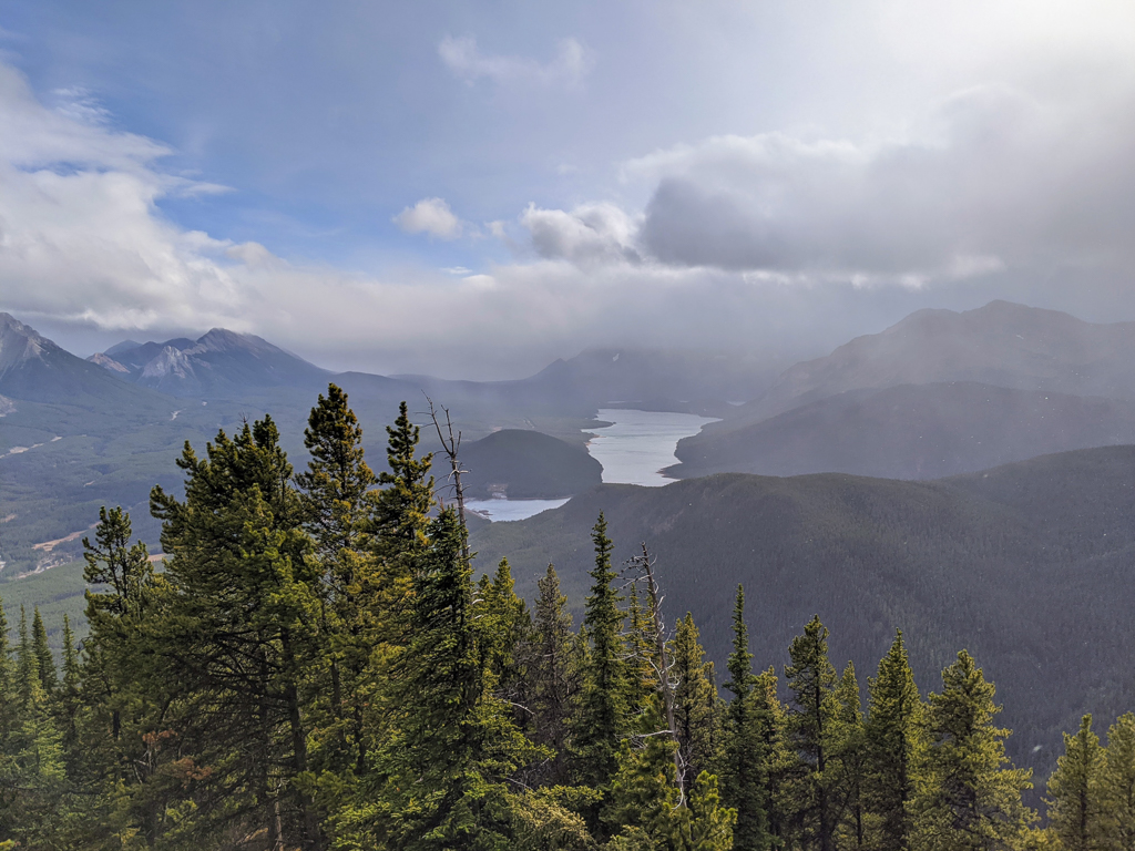
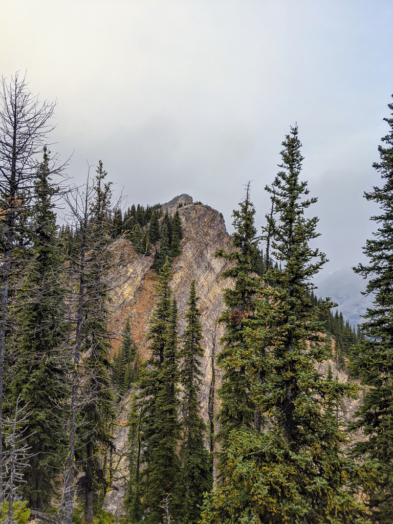
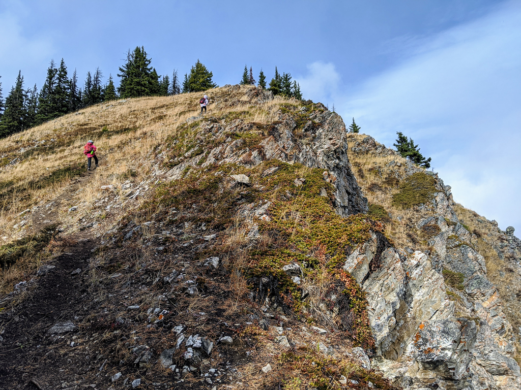
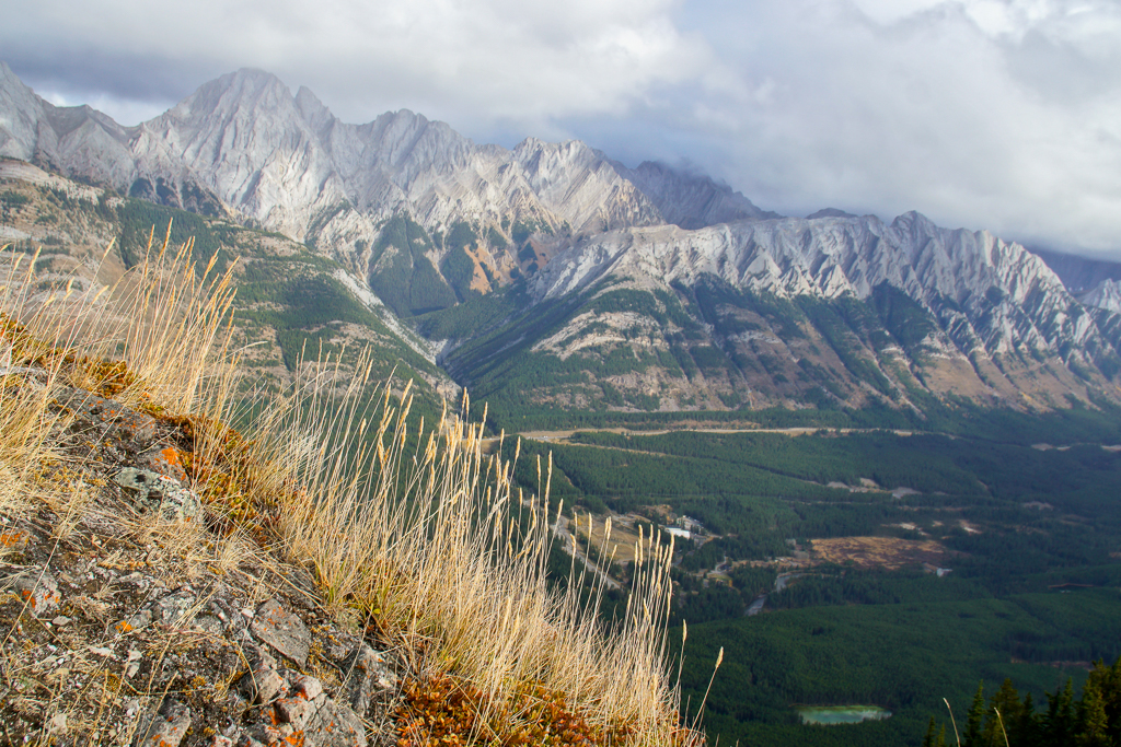
About a kilometre from the gate, it’s the end of the road and start of the climb. Ignore the snowshoe trail marker (unless you wanna do Penstock Loop Snowshoe Trail), and take the small, unmarked trail immediately opposite the flume’s stairs. Cross the creek and follow the trail up the spine of the ridge. It’s all up from here and we only had one WTF moment at the top of the first bump (the little tree-ringed clearing there is a good snack spot on windy day though!). While it looks like you can’t go any further, if you go to the left, you can easily find the way to the top. There is a some exposure here, and higher up, so keep kids and pets close!
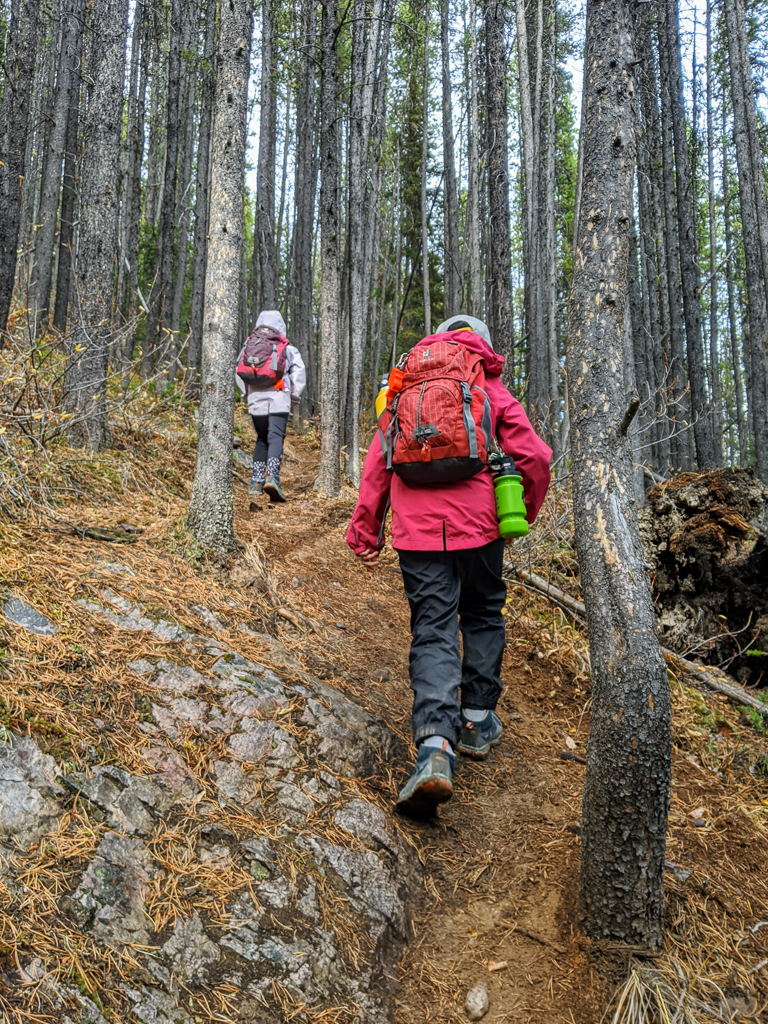
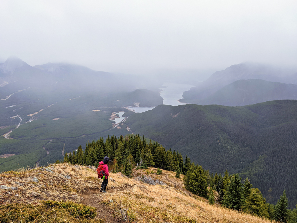
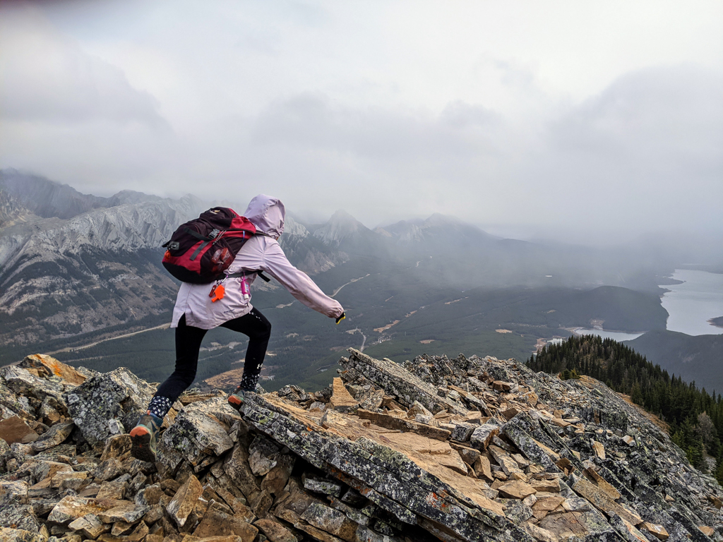
To reach the summit, a bit of easy scrambling is required. If the trail is snow or ice covered, DO NOT do this section! A fall would be fatal. Since the weather had turned nasty, and wind was threatening to blow us off the mountain, we turned back a few minutes from the summit, but the view from our turnaround point was just as good! We returned the way we came and were happy to see a spruce grouse foraging on the side of the trail.

It took us 2.5 hours to go up and 1.5 hours to come down at a moderate pace (with my 9 & 11 year olds). Adults can complete the hike in 3-4 hours, but why rush? We will definitely do this trail again – hopefully on a sunny day!
Table of Contents
South Lawson Peak at a Glance
- Distance: 7 km round trip
- Elevation gain: 762 metres
- Parking: Pullout on Spray Lakes Road (get Google directions here). Do not block the gate.
- Trailhead: The gate
- Nearest washrooms: Pit toilets at Peninsula Day Use
Know Before You Go
The last push to the summit is a scramble on a narrow ridge with exposure, but there are great views to be had below the true summit, so go as far as you feel comfortable.
There is no cell phone service in Peter Lougheed Provincial Park. Carry The Ten Essentials and leave a trip plan with a friend.
When to Go
This trail is best done from July to October. I do not recommend this hike in winter conditions unless you have Avalanche Skills Training, and the avalanche report is favorable.
Trail Trivia
South Lawson is an outlier of Mount Lawson (2795 m / 9170′ high) which was named for Major W.E. Lawson of the Geological Survey of Canada who was killed in World War I. Source: Wikipedia.