Hike Centennial Ridge, the highest maintained trail in the Canadian Rockies, to the summit of Mount Allan! Allow a full day for this strenuous, scenic hike, and bring lots of water.
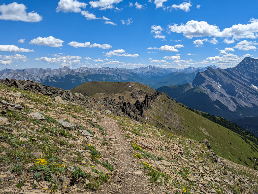
With tons of wildflowers, towering rock pinnacles, and panoramic views of several mountain ranges, Mount Allan via Centennial Ridge is a must-do hike in Kananaskis. You’ll have to earn the views, and climb 1450 metres to reach the 2,819 m / 9,246′ high summit, but it’s worth it! Built by the Rocky Mountain Ramblers between 1966 and 1969 to commemorate Canada’s centennial, it’s the highest maintained trail in the Canadian Rockies. While we highly recommend hiking to the summit (15.9 km round trip), there are several shorter options like the Coal Mine Viewpoint, shoulder of Centennial Ridge, Olympic Summit, or the Rock Garden (see the Trail at a Glance section below for details).
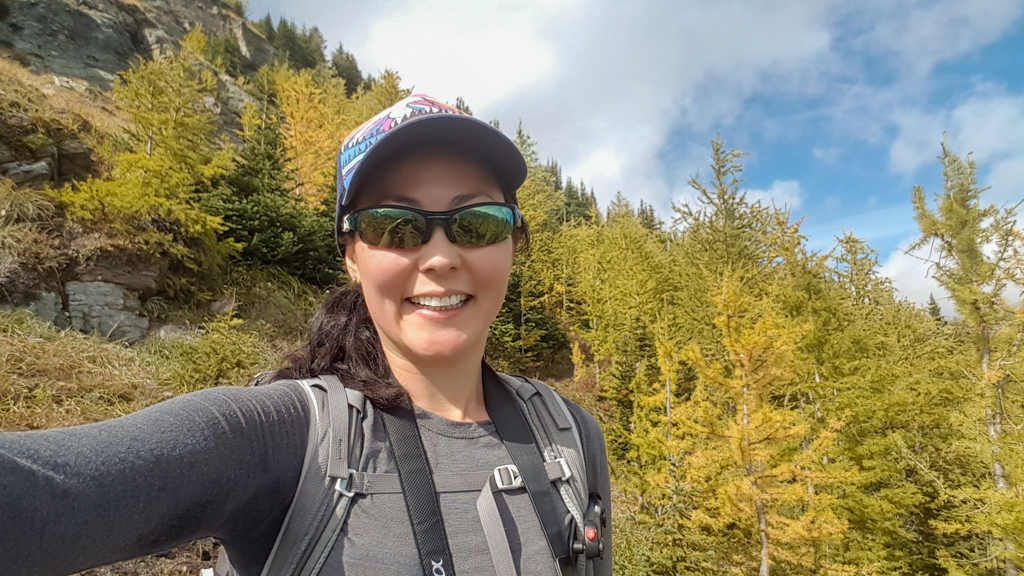
Wildflowers peak in mid July, and late September is the best time of year to see a few small stands of larches on Centennial Ridge (around Olympic Summit). Note that there is an annual seasonal closure (past the Coal Mine Viewpoint) from April 1 – June 21 for bighorn sheep lambing.
Table of Contents
Route Description
You can hike Centennial Trail from Ribbon Creek to Dead Man’s Flats if you arrange a car shuttle, but this story covers the out and back hike from Ribbon Creek Day Use (near Kananaskis Village) to the summit of Mount Allan.
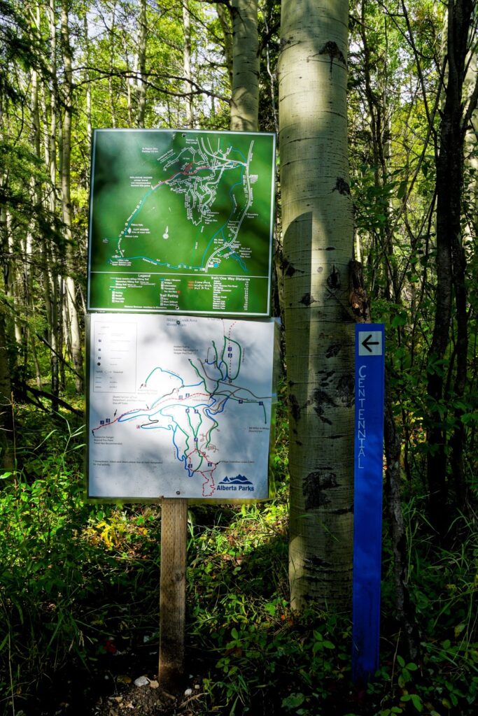
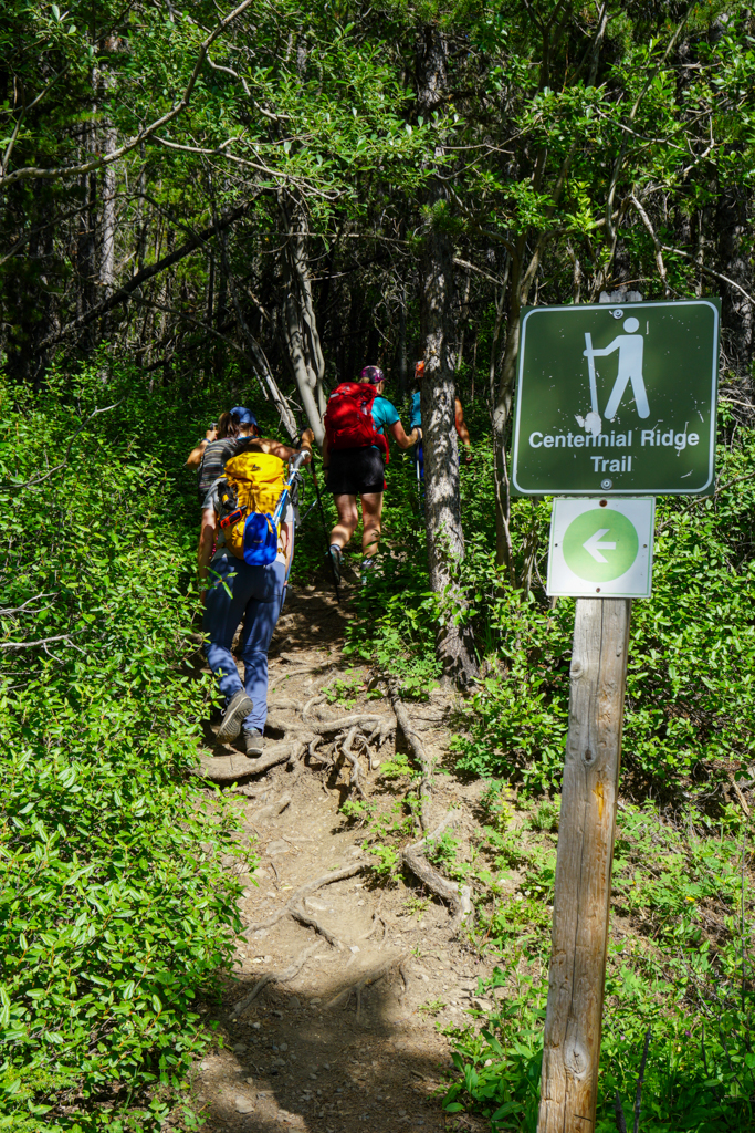
From the information kiosk on the north side of Ribbon Creek parking lot (past the outhouses), follow the “Hidden Trail” sign straight for 400 metres. Turn left at the Centennial Ridge Trail sign, then take your next left at the T-junction. From here, you will go straight up, through mixed forest, gaining about 600 metres of elevation in 2.6 kilometres. Follow the signs, take your time, and enjoy the shade, as you will be above treeline soon! If you’re ever not sure which way to go, keep going UP!
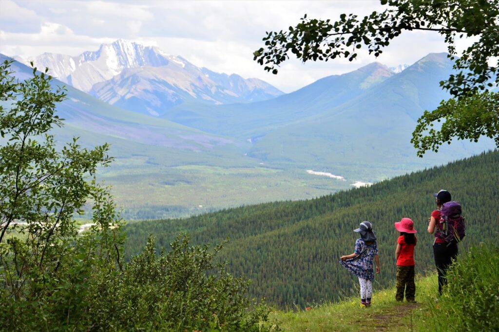
Where the trail veers left towards a meadow, pop out of the trees to see the reclaimed mine scar (2.3 km from start, +250 m elevation). What was once a coal strip mine, is now a grassy meadow dotted with wildflowers in summer. The Coal Mine Viewpoint also provides your first glimpse of the mountains, but the view just gets better and better the higher you climb, so don’t stop yet!
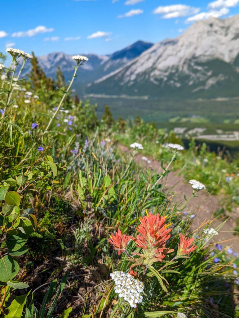
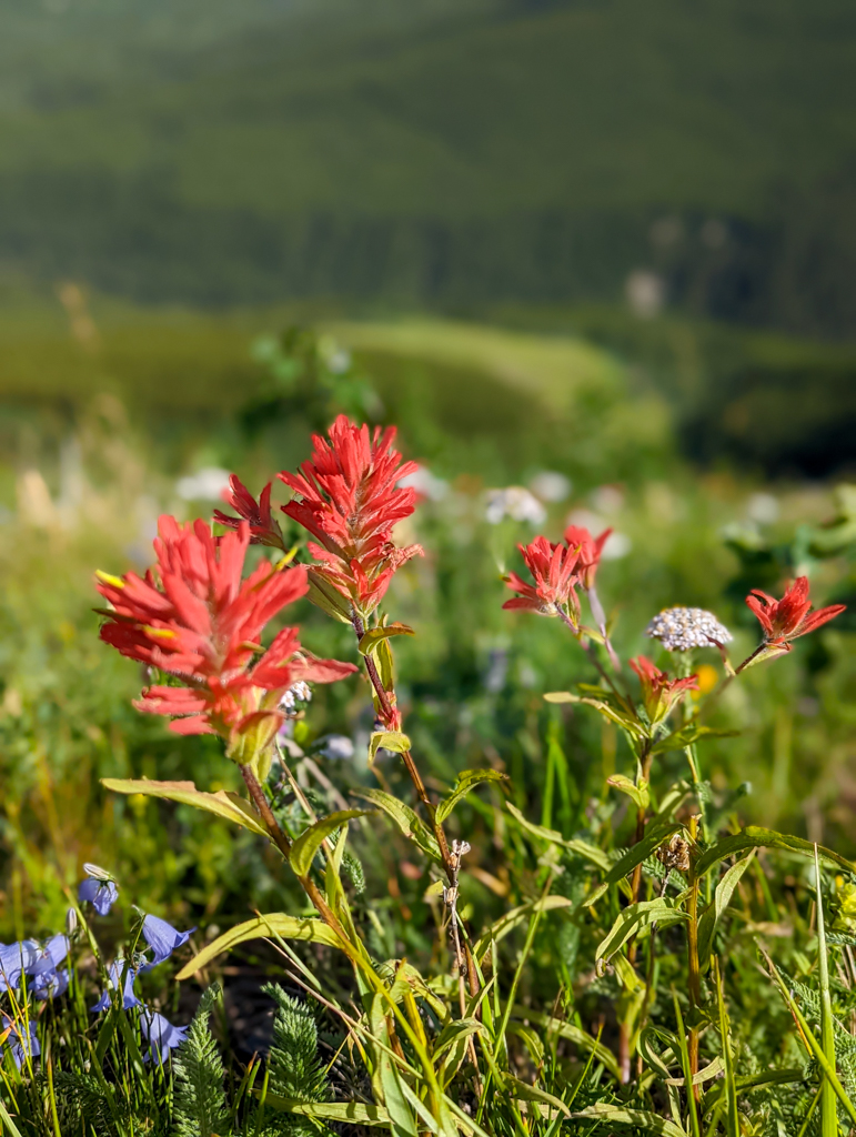
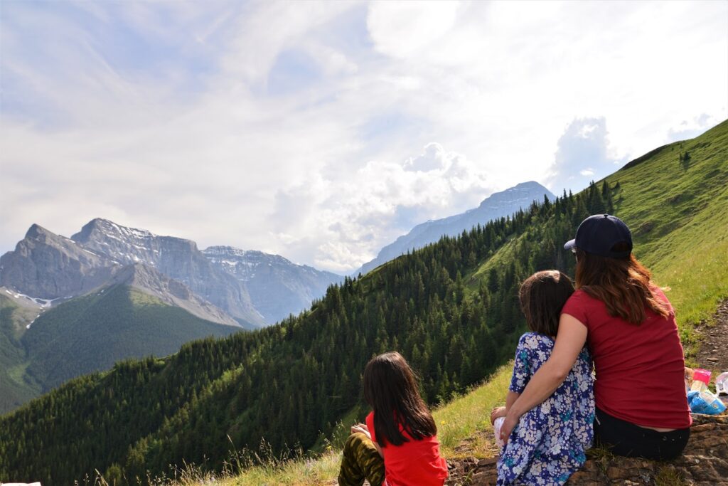
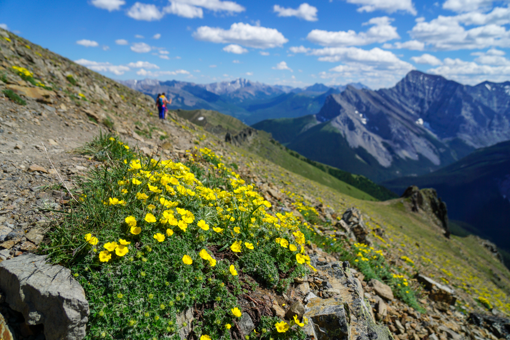
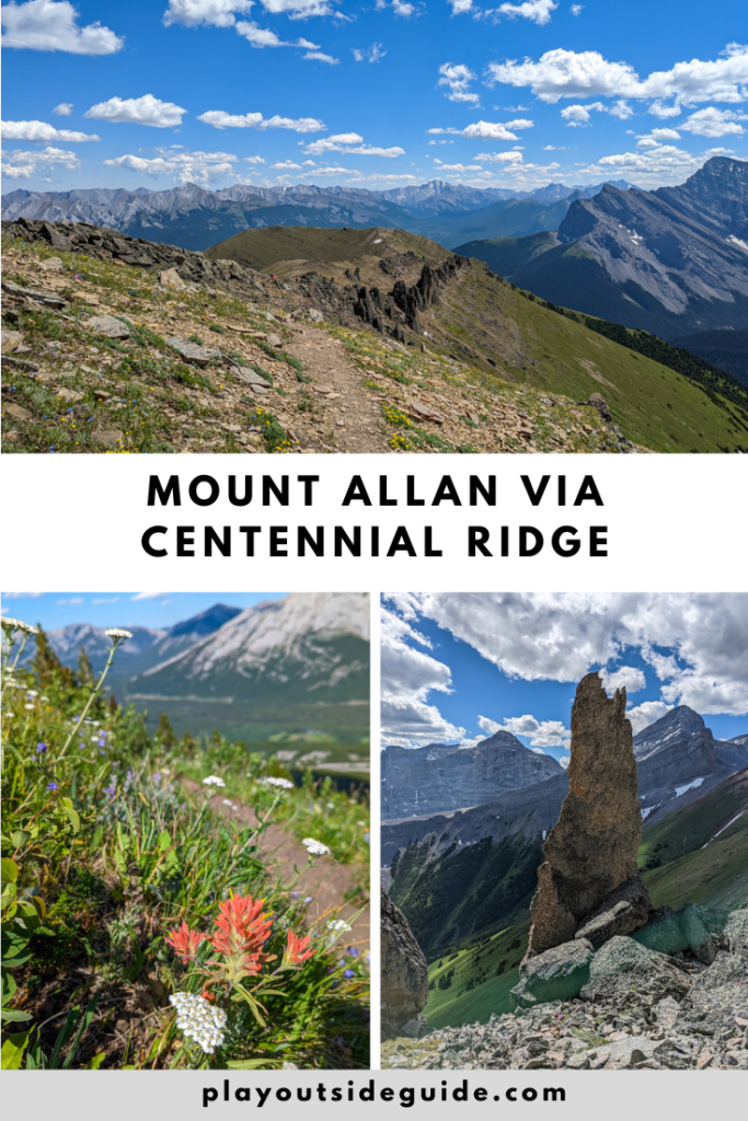
Back on the main trail, hike through meadows of wildflowers to the shoulder of Centennial Ridge. In July, the hillside is carpeted in vibrant red Paintbrush, delicate harebells, yellow asters, yarrow, forget-me-nots, and buttercups. At this point, you’re almost halfway to the top (3.2 km travelled, 680 m elevation gained). Enjoy a snack at one of the few level spots on the trail.
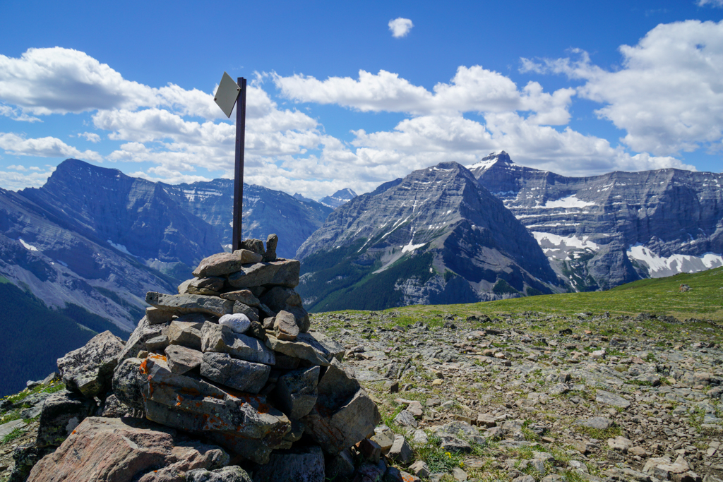
The false summit 1 km away is Olympic Summit. Named in honor of the 1988 Olympics (Olympic ski events were held on the eastern slopes of Mount Allan at Nakiska Ski Area), it’s home to a summit cairn (shown above) and Environment Canada weather station. Hike up on the right side of the cliff band through small stands of larches. It’s extra pretty here in late September when the larches turn golden.
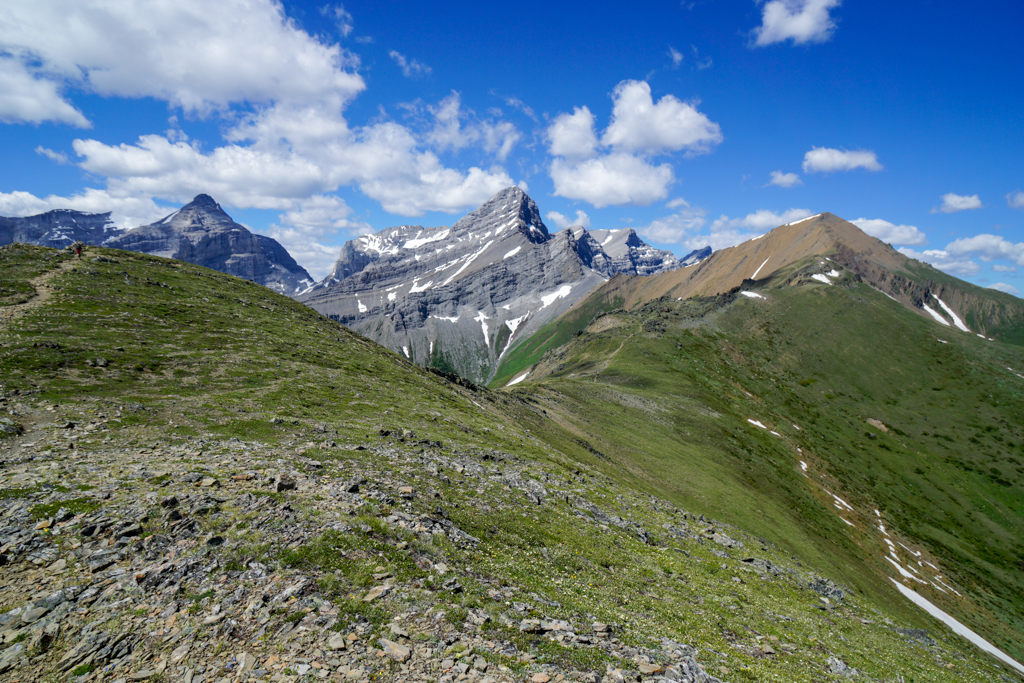
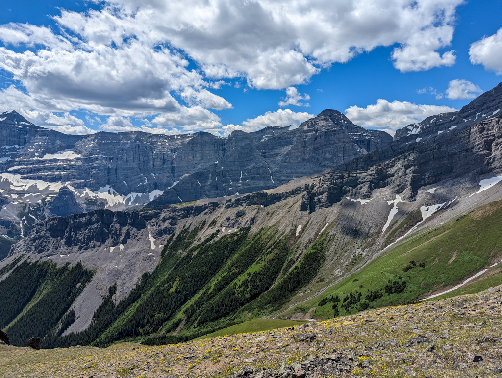
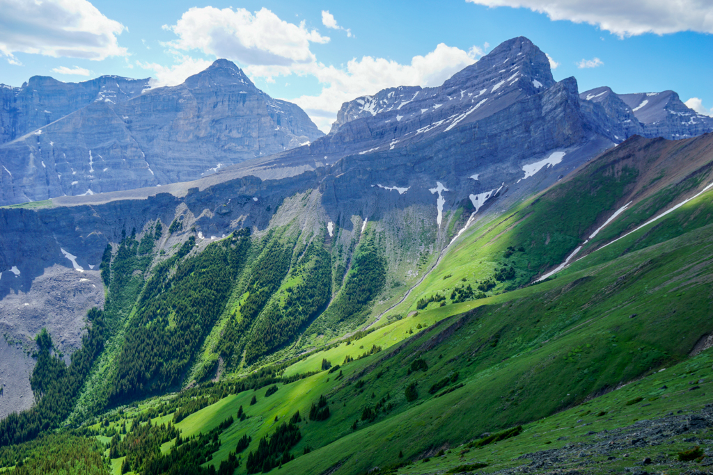

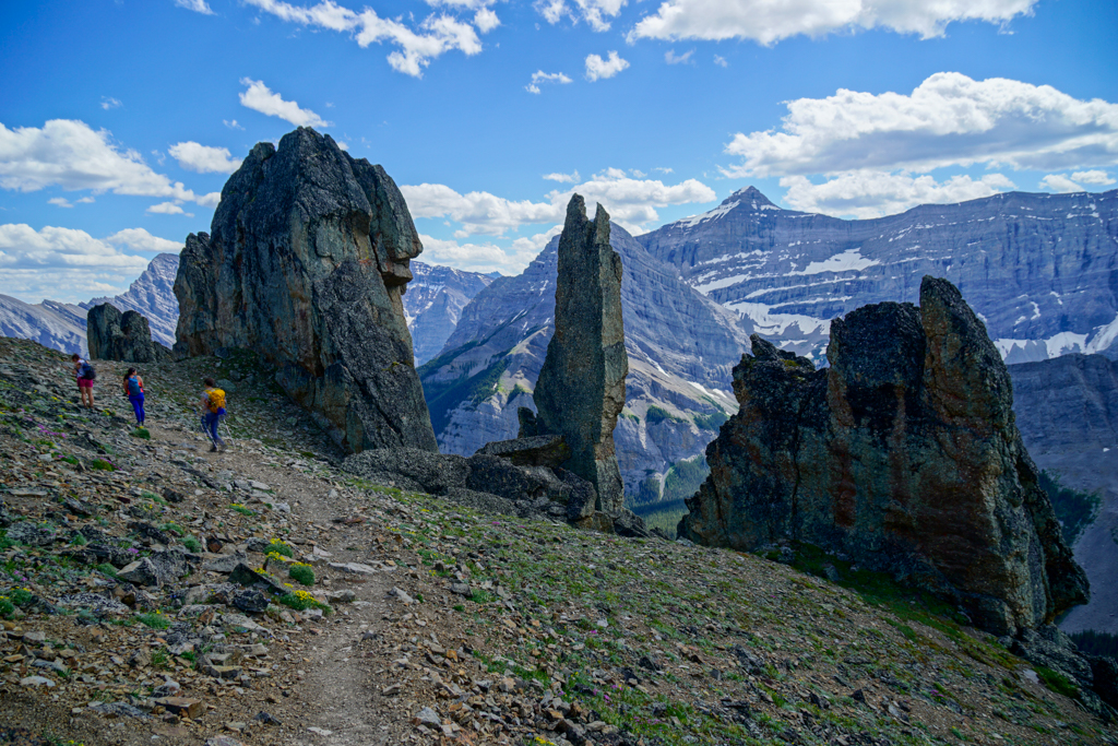
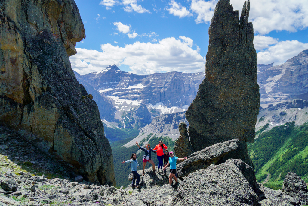
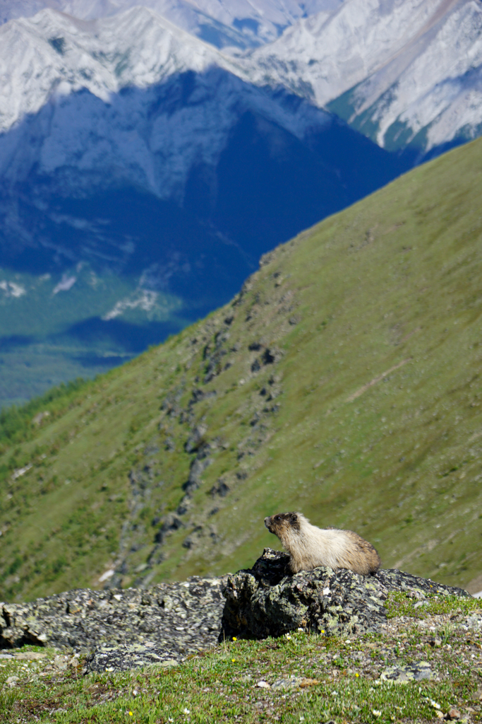
With the steepest part of the trail behind you, continue along the rocky/grassy ridge. The well-beaten path is easy to follow provided it hasn’t snowed recently (for the record, we DO NOT RECOMMEND hiking here when snowy). Although there are some orange diamond shaped markers painted on the rocks, they’re getting pretty faded, but you can see your objective in the distance. While you hike, keep an eye out for mountain goats, marmots, and pikas. Marmots like to bask in the sunshine on rocks near their burrows, and we saw several on our hike!
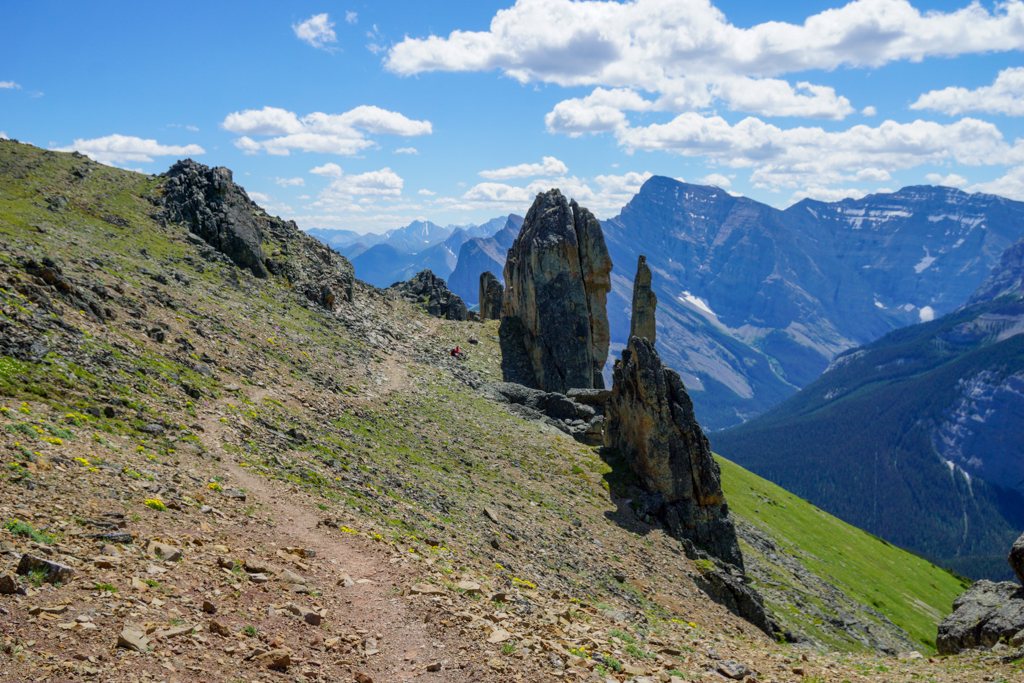
You’ll lose a wee bit of elevation (about 50 m) after Olympic Summit, but you can catch your breath on the saddle where it levels out, before continuing on to the Rock Garden (5.4 km from the start, +1060 m elevation). Here, for a few hundred metres, jagged rocks of varying shapes and sizes poke up out of the ground like mushrooms giving this section its other name, the Mushroom Garden. The highlight is a group of conglomerate pinnacles towering 10+ metres above the trail (but when seen from the side, you will see they are about 25 metres tall!). “The Claw” is aptly named with two huge pincers at the top.
Just past The Claw is the only tricky part of the trail; a short (less than 2 metres) downclimb off a rock band. Go up and over the ridge, or down to the left. We went to the left and found it not too bad as there are good hand and foot holds.
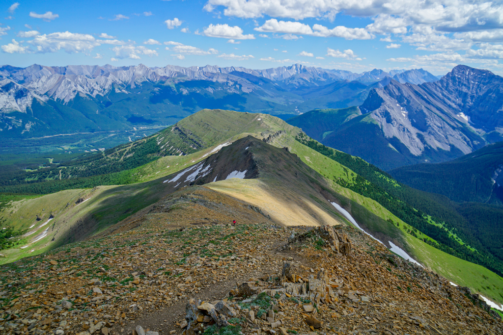
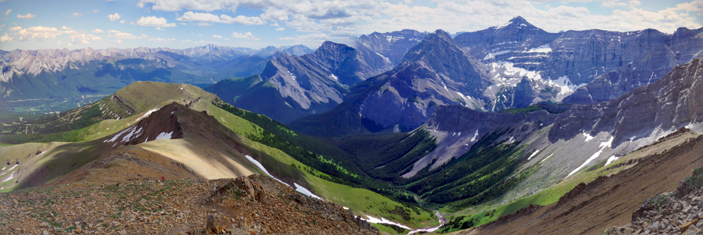
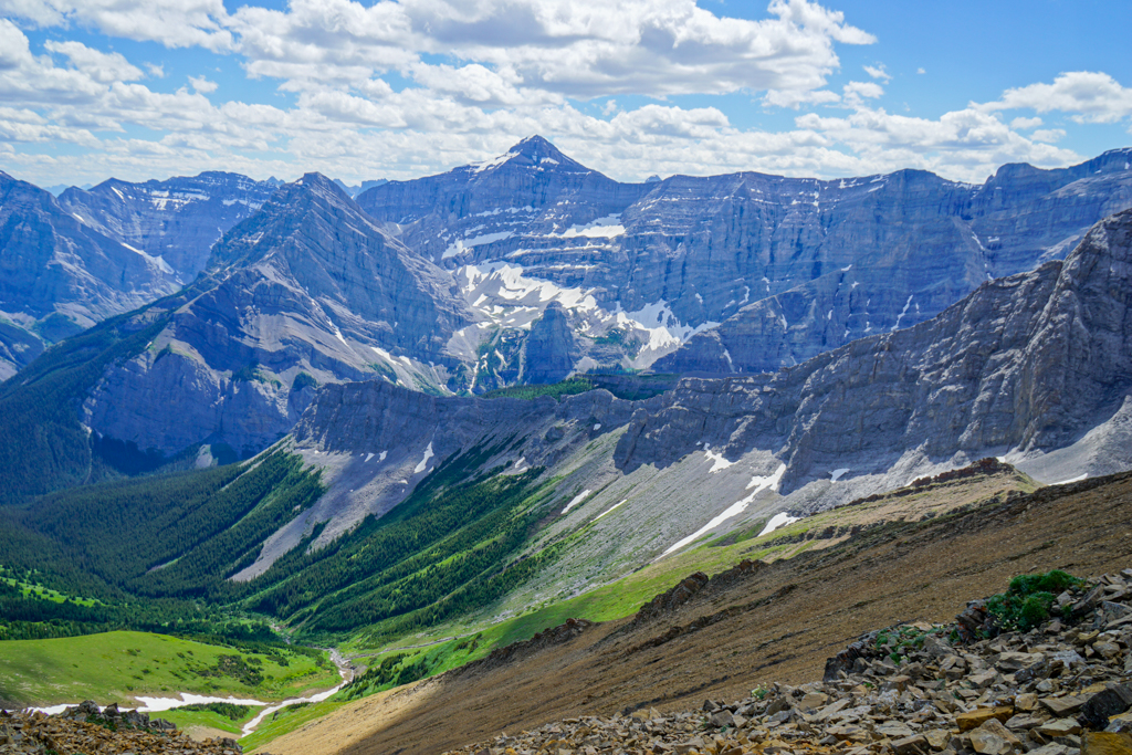

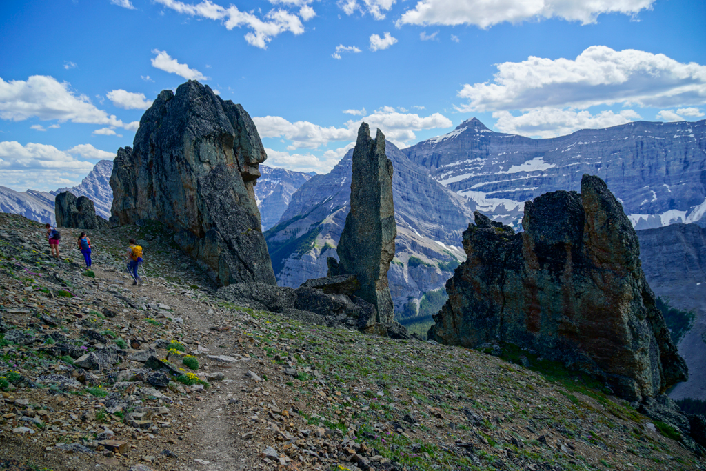
The final push to the summit is breezy and beautiful, with a serving of scree. Simply follow the trail along the ridge and continue the relentless ascent. It was around here that random hikers ahead of me kept stopping and screaming expletives. Somehow it worked, because I later saw them on the summit. Perseverance pays off!
Savor panoramic views from the top! Mount Sparrowhawk, Lougheed Range and Wind Mountain dominate the western skyline; Mount Collembola is to the north; and Mount Bogart and Mount Kidd are to the south. After a well-deserved break, return the way you came.
DYK?
Mount Allan (2,819 m / 9,246′ high) is named for Dr. John Andrew Allan (1884-1956), a prominent geologist who developed the Geology program at the University of Alberta, surveyed Alberta’s resources with his students (this work would lead to several oil and gas discoveries in the province), and founded the Association of Professional Engineers and Geoscientists of Alberta (APEGA) and the Canadian Society of Petroleum Geologists. Source: Alberta Culture & Tourism
The Stoney Nakoda “called it Chdse Tida Baha (Burnt Timber Hill)”. Source: Summit Post.
Trail at a Glance: Ribbon Creek Day Use to Mount Allan via Centennial Ridge
- Trailhead: Ribbon Creek Day Use
- Distance: 15.9 km round trip
- Elevation Gain: 1450 m
- Distance & Elevation Gain to Landmarks
- 2.3 km to Coal Mine Viewpoint (aka Mine Scar), 250 m elevation
- 3.2 km to Shoulder of Centennial Ridge, 680 m elevation
- 4.3 km to Olympic Summit, 1000 m elevation
- 5.4 km Rock Garden, 1060 m elevation
- 7.9 km to Mount Allan Summit, 1450 m elevation
- Difficulty: Strenuous due to significant elevation gain. There are sections of easy scrambling, so wear hiking boots/trail runners with good traction. Trekking poles are also recommended to save your knees (especially on the way down).
- Duration: Allow 6-10 hours depending on your pace and fitness level
- Washrooms: Pit toilets at Ribbon Creek parking lot
- When go to: June 22 until mid-late October (not recommended when snowy)
Know Before You Go
- A Kananaskis Conservation Pass is required to park in Kananaskis. Purchase your pass online from the Government of Alberta.
- You are in bear territory. Review our Bear Safety Tips and keep bear spray accessible.
- Dogs must be kept on a leash.
- Pack out all trash and dog poop.
There is a seasonal closure beyond the Coal Mine Viewpoint for bighorn sheep lambing season from April 1 – June 21.
What to Bring
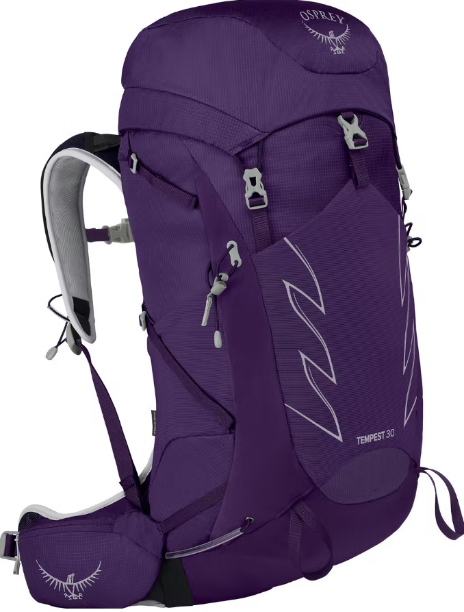
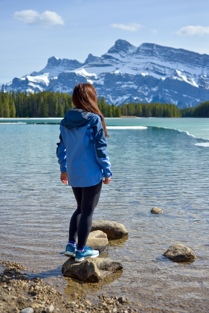
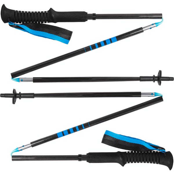
Disclosure: This section includes affiliate links through which I earn a commission on qualifying purchases at no extra cost to you.
Waterproof mid-height hiking boots, a down hoody or fleece, toque, gloves, and windproof/waterproof shell are recommended year round. Trekking poles are useful for long hikes, steep descents, or when you’re carrying a fully-loaded backpack (or are babywearing). You should also carry The Ten Essentials including: water, extra food, extra clothes, a first aid kit, headlamp, GPS / compass / Garmin inReach Mini 2 satellite communicator* and map of the area, mineral sunscreen, bug spray (this DEET-free insect repellent contains 20% icaridin and will repel ticks), and bear spray. Carry bear spray in a Bear Spray Holster or Scat Griz Bear Spray Running Belt.
*A Garmin inReach Mini 2 satellite communicator is highly recommended for contacting Search & Rescue and emergency contacts in the event of an emergency, or communicating with friends and family when you are out of cell phone range. You can send text messages and your GPS coordinates via satellite, but a monthly service plan is required.
While THIS IS NOT A WINTER TRAIL DUE TO AVALANCHE DANGER, in icy shoulder season conditions, we recommend traction devices such as Kahtoola Microspikes (available from Amazon and MEC), or Hillsound Trail Crampons (available at Amazon and Sport Chek) and trekking poles with snow baskets. Base layers, insulated winter boots, a down jacket and windproof/waterproof shell (or insulated ski jacket / parka), gloves or mittens, and a toque are also cold weather must-haves. See our fall / winter hiking gear guide for product recommendations.
Getting Here
The parking and trailhead for Centennial Ridge / Mount Allan are at Ribbon Creek Day Use Area. Look for the trailhead near the information kiosk on the north side of the parking lot (on your right, past the hostel and outhouse when you drive in).
Related Posts
- A Wonderful Weekend at Kananaskis Wilderness Hostel
- Mount Kidd Fire Lookout
- Galatea Creek Trail to Lillian Lake Backcountry Campground (and Galatea Lakes)
- Midnight Peak Scramble
- Prairie View Trail to Yates Mountain / Barrier Lake Fire Lookout


