See three waterfalls in one day when you hike beyond Troll Falls to Marmot Falls and Upper Falls!
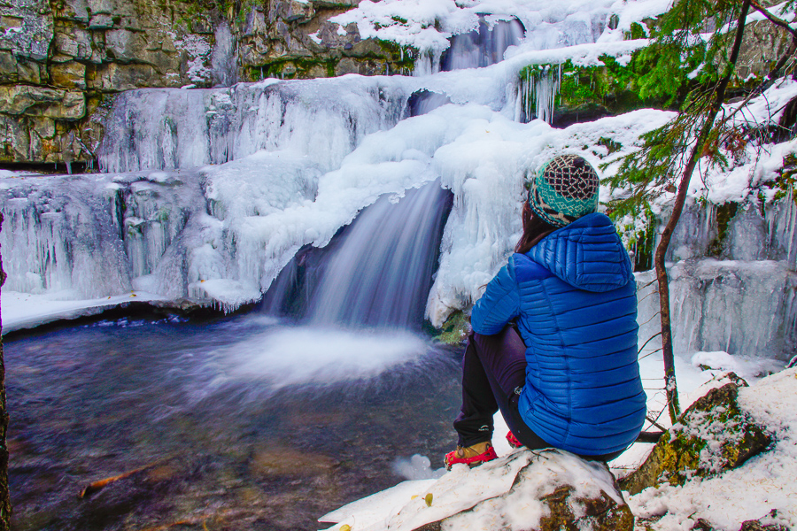
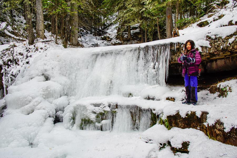
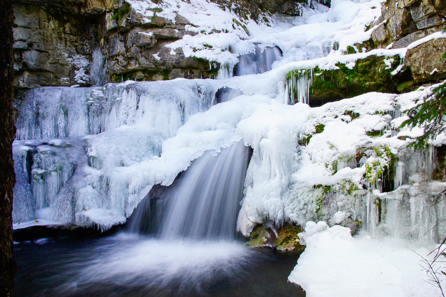
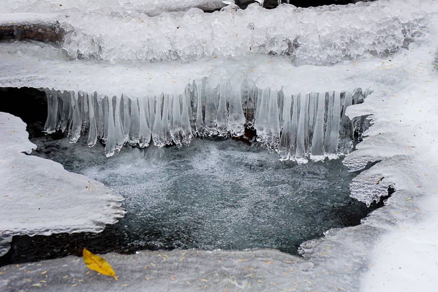
Troll Falls Trail is a family favorite with minimal elevation gain, shelter from the wind and sun, and a beautiful waterfall at the end. If you’re game for a longer hike, continue on to Marmot Falls and Upper Falls. While it’s a relatively easy hike in summer, expect the trail to be packed down and icy in winter; especially the section between Troll Falls and Upper Falls. Go midweek to avoid the crowds if you can!
Table of Contents
Troll Falls Route Description
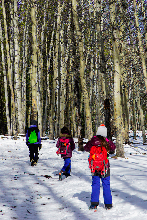
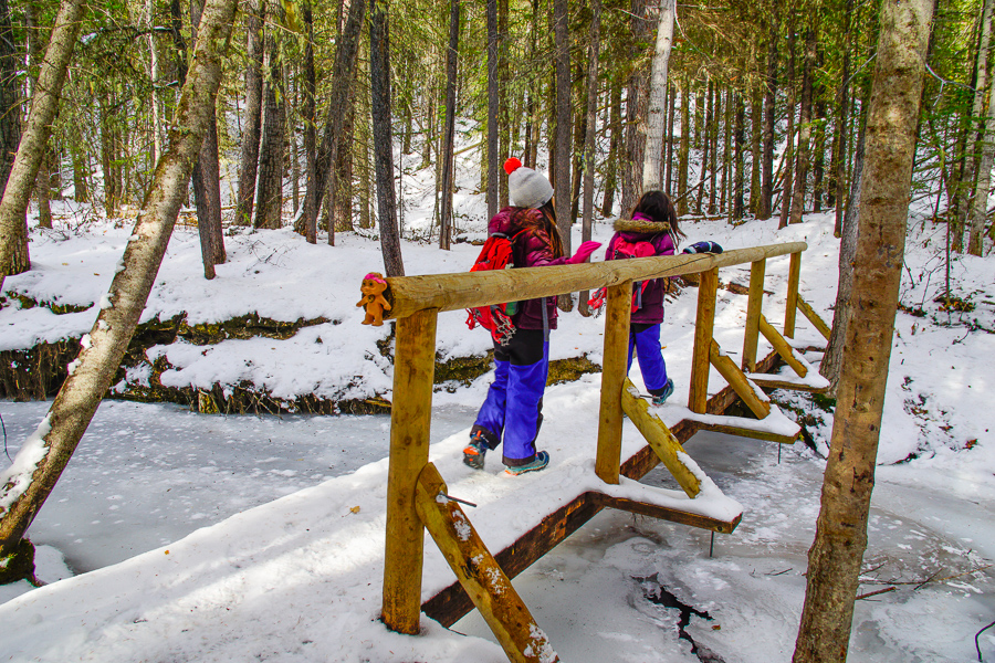
From the trailhead on the left side of the parking lot, hike up the hill through the forest, then go downhill to a small bridge. Look for trolls under the bridge – if you dare – then continue on to a gorgeous grove of trembling aspens. Follow the trail around to the left. At the junction (0.9 km from parking lot), continue straight for Troll Falls. The trail is quite sports stroller friendly until the last 100 metres where it gets bumpier, rootier, and narrower.
It’s only 1.7 km one way with 30 metres of elevation to Troll Falls, so even little kids can manage this trail! Return the way you came or take Upper Falls Trail.
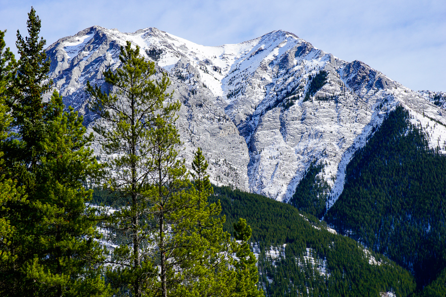
Going Further: Marmot Falls and Upper Falls
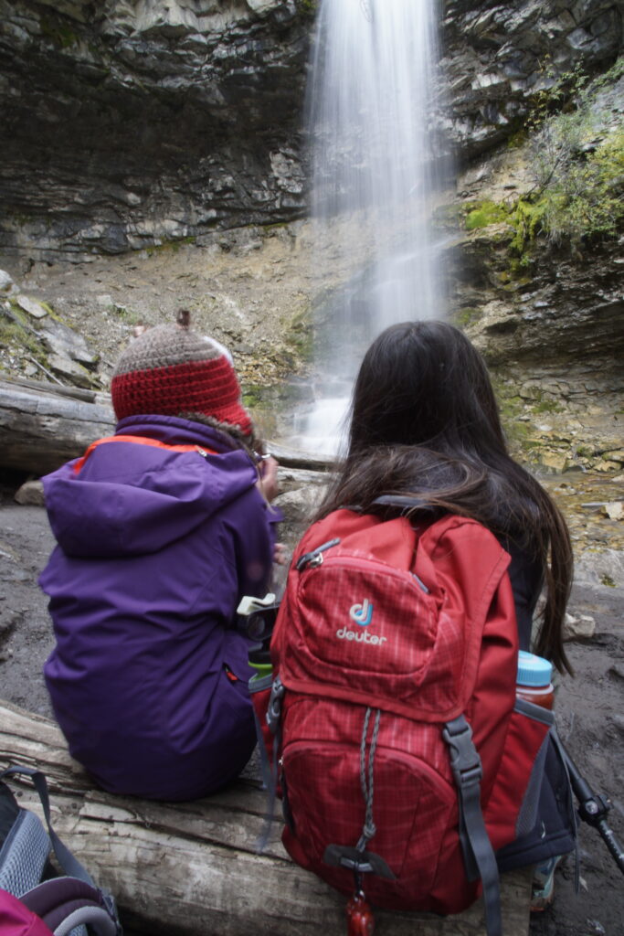
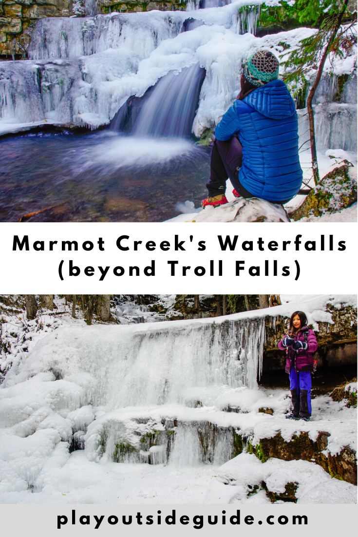
Backtrack about 100 metres from Troll Falls to the marked Upper Falls junction (Look for the “Upper Falls” sign) and cross the bridge. Climb the short but steep hill, and follow the signs to a series of pretty cascades. At the junction, stay left to visit Marmot Falls, then continue around the loop in a clockwise direction. Why? It’s safer to go up the stairs than down, especially when icy!
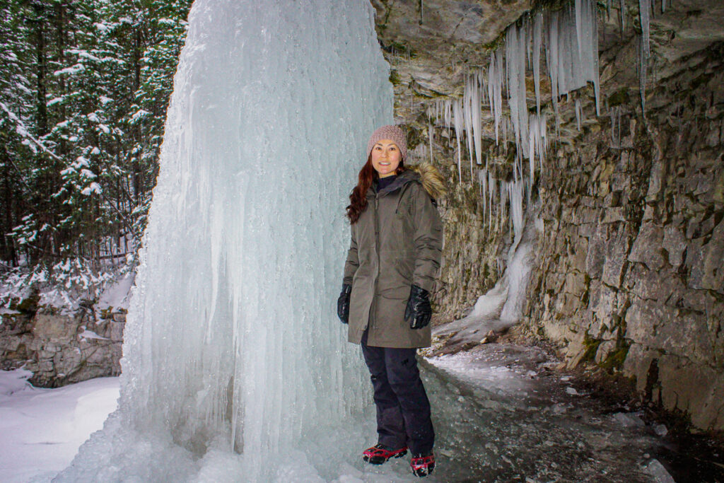
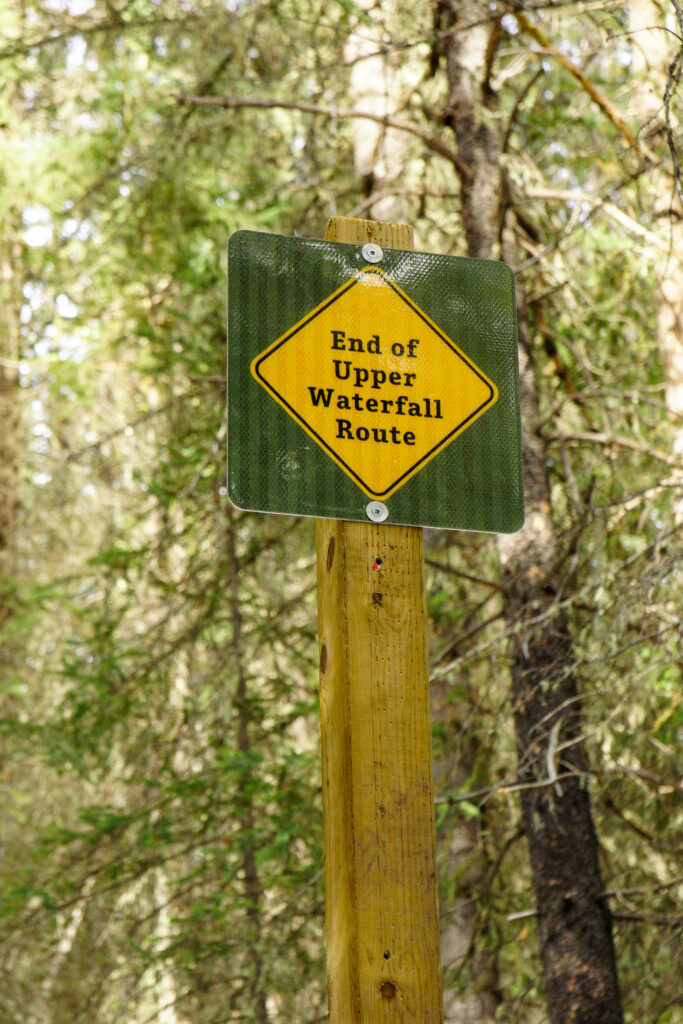
The trail ends at beautiful Upper Falls, also known as Double Falls. Turn back at the “End of Upper Waterfall Route” sign and return the way you came. For a slightly longer, but scenic loop, return via Hay Meadow.
Troll Falls/Upper Falls Trail at a Glance
- Distance: 1.7 km to Troll Falls + 0.9 km to Upper Falls
- Elevation Gain: 30 m to Troll Falls, +70 m to Upper Falls
- Difficulty: Easy to Troll Falls, moderate to Upper Falls with some exposure (keep kids away from the edge).
- Duration: Allow 2-3 hours round trip with kids.
- Parking: Troll Falls
- Trailhead: NW (left) side of the parking lot
Getting Here
Click here for Google Maps Directions to Troll Falls parking lot. It’s about 1 hr 15 mins from Calgary.
Know Before You Go
- A Kananaskis Conservation Pass is required to park in Kananaskis. Purchase your pass online at https://www.alberta.ca/kananaskis-conservation-pass.aspx.
- There have been serious accidents in this area (falls from cliffs), so please stay on the trail and away from the edge of the cliffs. Keep kids and dogs close!
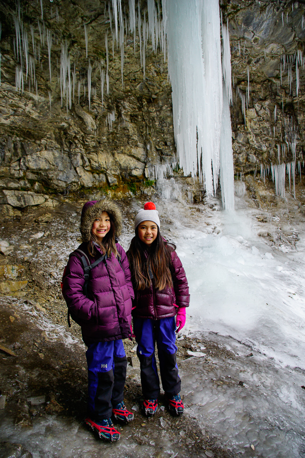
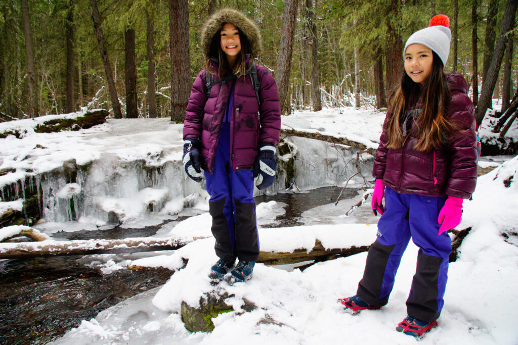
- This popular trail gets packed down and icy in the shoulder season, so traction devices are recommended.
- The trail to Troll Falls is sports stroller friendly but can get quite bumpy during periods of melting and freezing.
- A baby carrier/backpack and microspikes are recommended for the trail to Upper Falls (the trail is narrow and has stairs).
What to Bring
Disclosure: This section includes affiliate links through which I earn a commission on qualifying purchases at no extra cost to you.
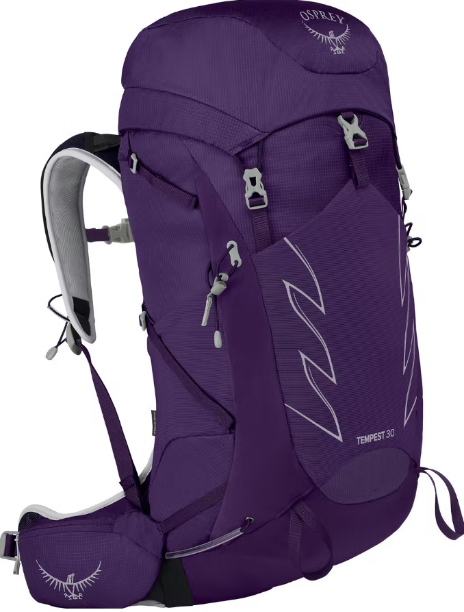
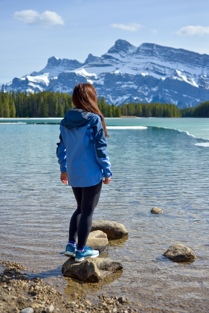
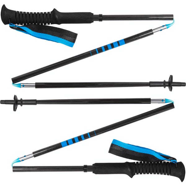
Waterproof mid-height hiking boots, a down hoody or fleece, toque, gloves, and windproof/waterproof shell are recommended year round. Trekking poles are useful for long hikes, steep descents, or when you’re carrying a fully-loaded backpack (or are babywearing). You should also carry The Ten Essentials including: water, extra food, extra clothes, a first aid kit, headlamp, GPS / compass / Garmin inReach Mini 2 satellite communicator* and map of the area, mineral sunscreen, bug spray (this DEET-free insect repellent contains 20% icaridin and will repel ticks), and bear spray. Carry bear spray in a Bear Spray Holster or Scat Griz Bear Spray Running Belt.
*A Garmin inReach Mini 2 satellite communicator is highly recommended for contacting Search & Rescue and emergency contacts in the event of an emergency, or communicating with friends and family when you are out of cell phone range. You can send text messages and your GPS coordinates via satellite, but a monthly service plan is required.
In snowy/icy conditions, traction devices such as Kahtoola Microspikes (Available from Amazon, MEC, and Valhalla Pure Outfitters), or Hillsound Trail Crampons (Available at Valhalla Pure Outfitters and Sport Chek) are recommended. See our Fall/Winter Hiking Gear Guide for recommended clothing and gear.
Enjoy the hike and let me know which Marmot Creek waterfall is your favorite!
Related Posts
- 15 Fun things to do in Calgary this winter
- Kananaskis Valley Winter Activity Guide
- 10 Fun things to do in Banff this winter
- Snowshoe Trails Near Calgary


