Mockingbird Lookout is an easy hike to a panoramic lookout in the Ghost PLUZ (north of Cochrane). The crux is finding the trailhead for this unofficial trail.
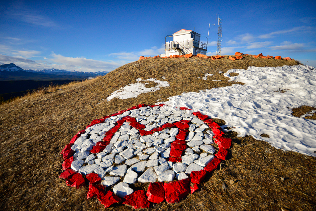
With my Kananaskis Country Trail Guide and full tank of gas, we’re off to the Ghost Public Land Use Area to hike Mockingbird Lookout. Although the drive is a bit long, we’ve chosen this quiet corner of Kananaskis to avoid crowds. Plus, it’s a safe winter summit with great views!
On this sunny Saturday, the Forestry Trunk Road (Hwy 40 N) is in great condition with only a couple washboardy sections. The road is frequently graded for logging trucks, so there are no giant potholes to dodge. You can’t drive too fast with how winding the road is though! There’s no shoulder either.. so while it’s tempting to pull over in a few spots, I keep driving.
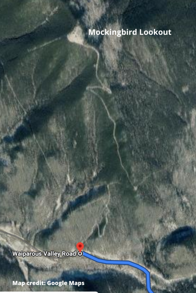
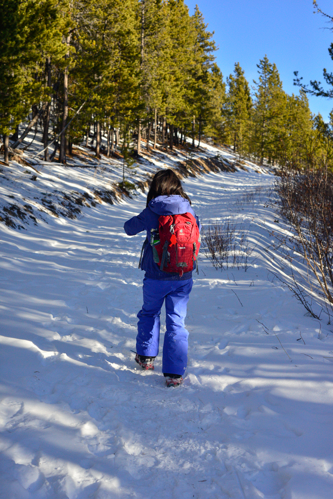
We pass ranches and retreats and before we know it, we’re at the turnoff to Waiparous Valley Road. This part of the drive is a bit sketchy (narrow and icy). Since the trailhead is less than four kilometres away, I go slow. We’re out of cell phone range and it might be a while ’til other vehicles pass by. True to Gillean Daffern’s directions, 700 metres past a bridge, we see a small road on the right. This is the unofficial parking for the “trail.” ***Do not block the road as it is used by fire lookout staff.***
Table of Contents
Route Description
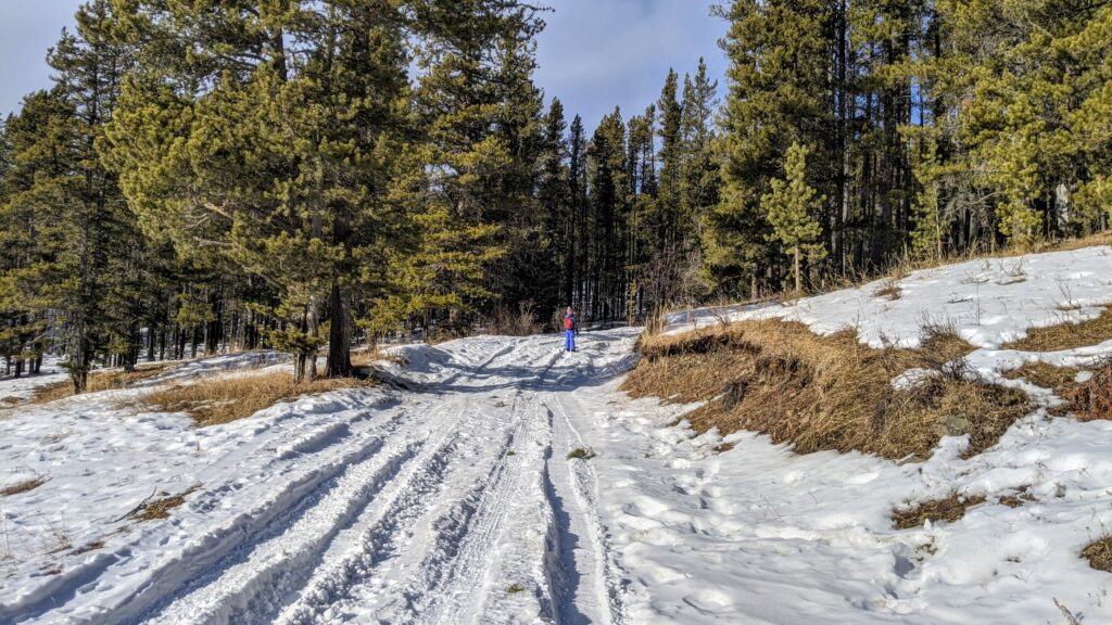
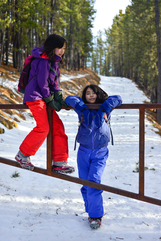
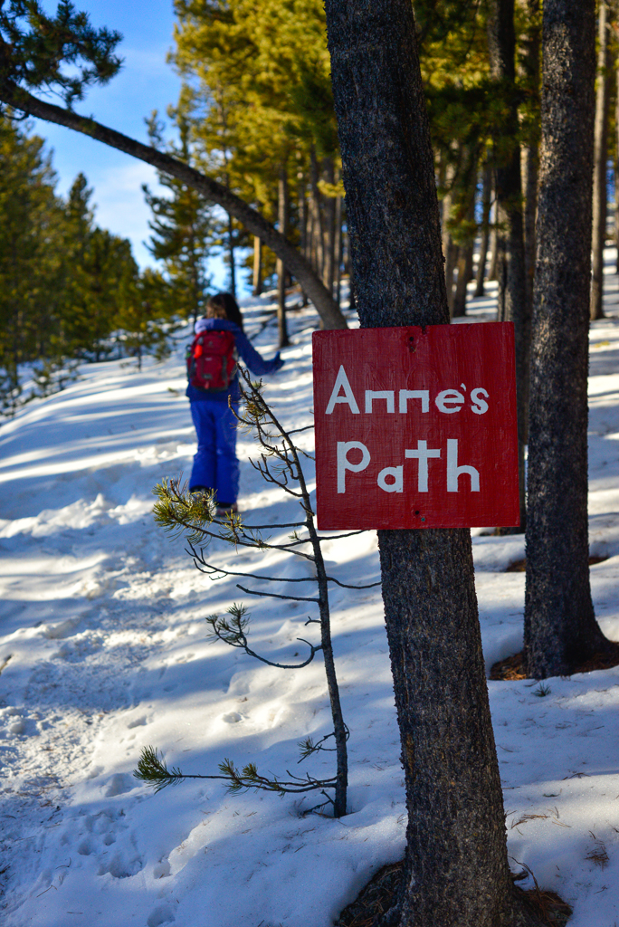
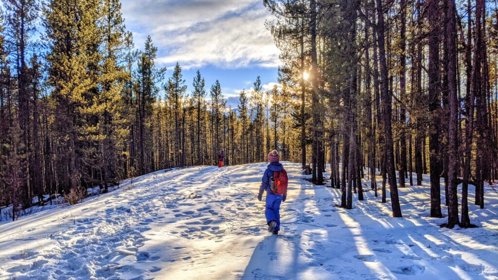
The “trail” is actually the fire lookout access road. Follow the non-descript, gently graded road through pine forest to the top (ignore the very steep cutline on your left near the beginning). You’ll reach the first gate within 500 metres; go around it and continue on the road. Near the top, you will go around another gate and hike on Anne’s Path to the fire lookout. Since Mockingbird Lookout is an active fire lookout, please keep away from the fire lookout building and helipad. You are welcome to use the picnic table though (but pack out all trash)!
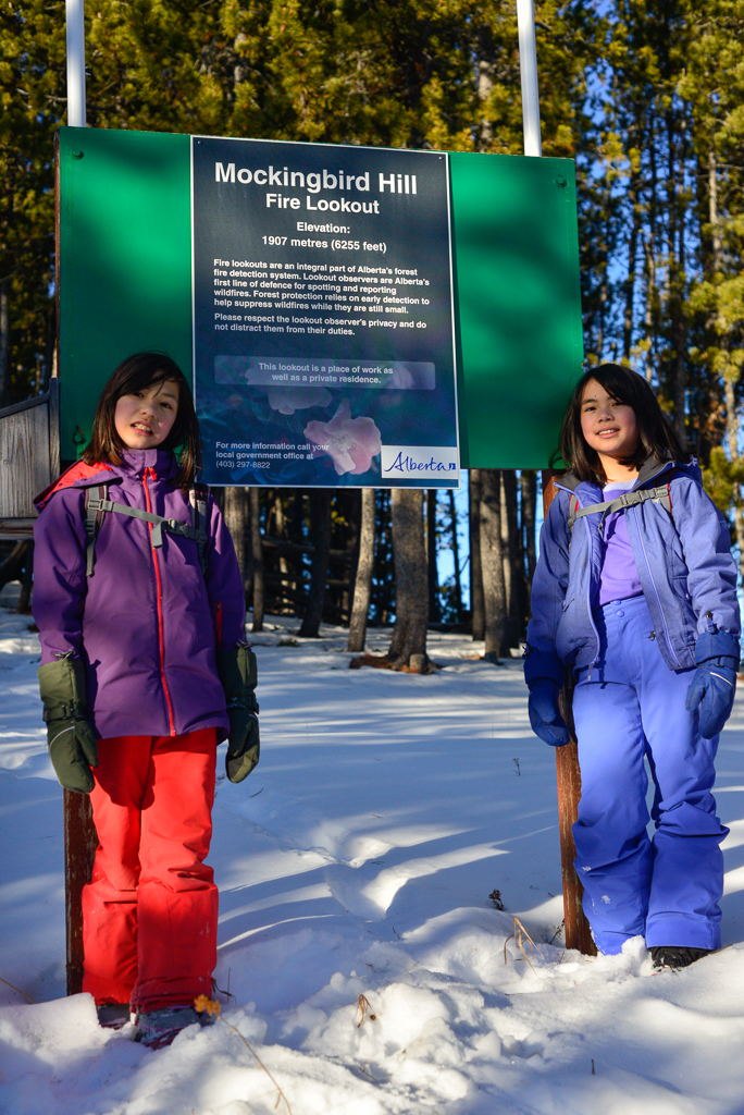
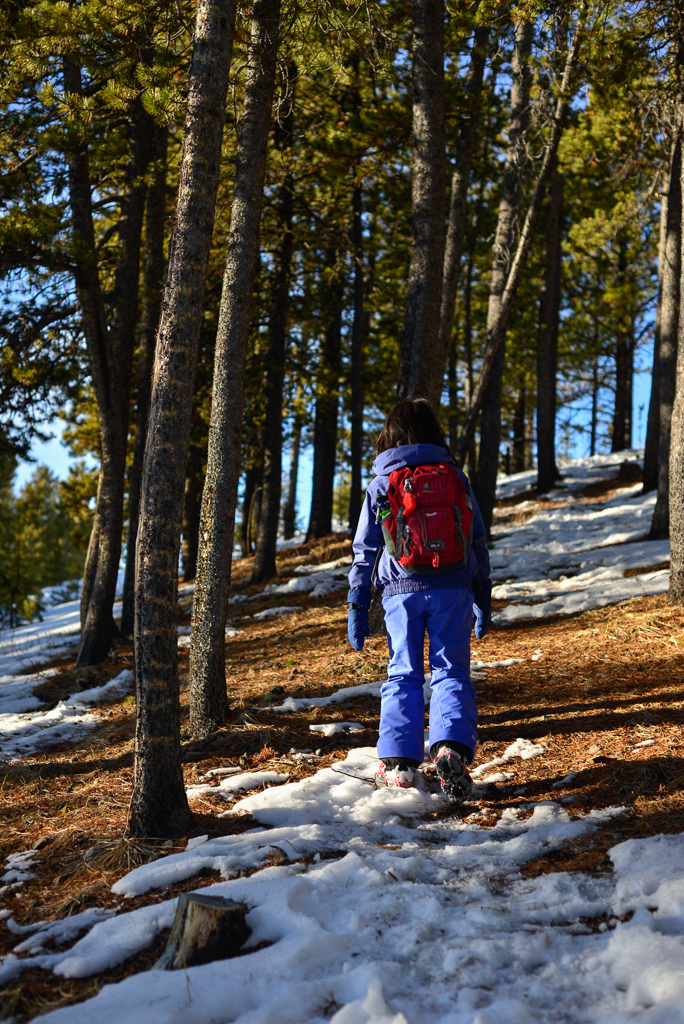
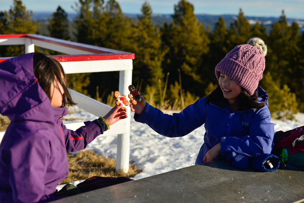
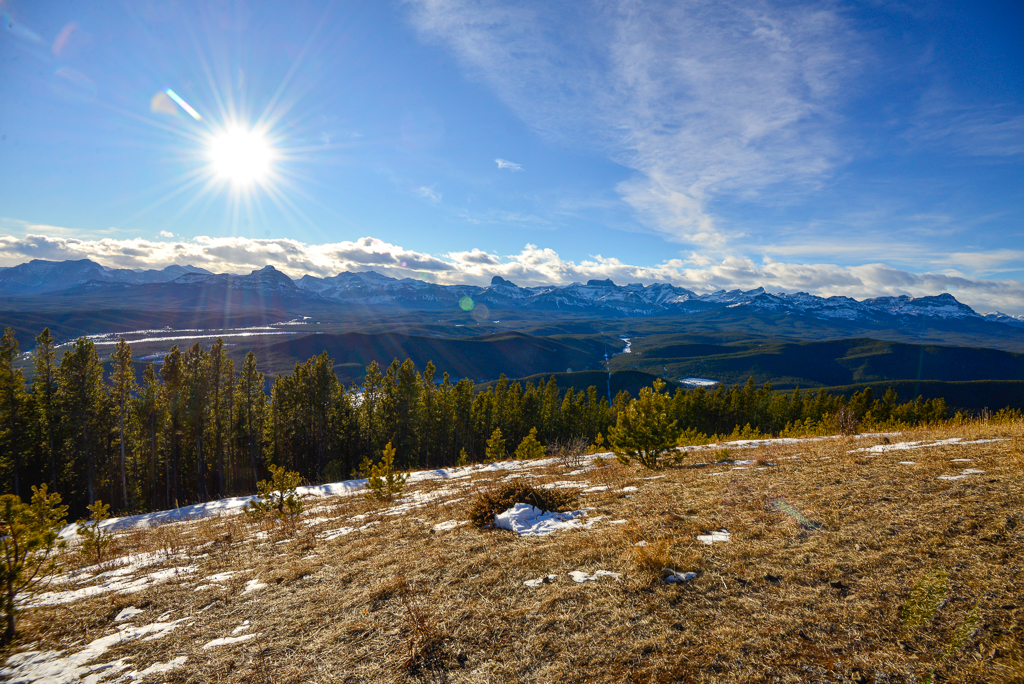
At 1907 metres / 6255 feet, Mockingbird Lookout offers lovely, unobstructed views in all directions. Two of the more distinctive peaks you can see from here are Blackrock Mountain and Devil’s Head. While it would be nice to stay, the wind has kicked up giving us a bit of a chill. We retreat to the trees to get out of the wind and hoof it back to the car (return the way you came). All in all, we spent 2.5 hours completing this little summit including a snack break, photos, and spontaneous snow angels. I’d love to return on a warmer day!

Mockingbird Lookout at a Glance
- Distance: 5.8 km round trip
- Elevation Gain: 350 metres
- Parking & trailhead: Unmarked – park on the side of Waiparous Valley Road (click here for Google pin)
- Nearest washrooms: Pit toilets at North Ghost Campground (open May 1 – October 14)
Directions to Mockingbird Lookout trailhead from Calgary
Head west on Highway 1A. Turn right (north) onto Forestry Trunk Rd/AB-40 N. Continue on Hwy 40 N for 40.2 km. Turn left onto Waiparous Valley Rd (you’ll see a sign for Camp Mockingbird). Set your odometer to zero at the turnoff, and continue 3.8 km. (If you forgot to set your odometer at the turnoff, the trailhead is 700 metres past a small bridge.) Park on the side of the road and hike up the road at right to the fire lookout. Click here for Google pin.
Know Before You Go
Mockingbird Lookout is an active fire lookout, so please do not disturb Mike the Fire Warden who works and lives onsite. I’ve heard Mike’s dog, Amber, is often offleash but is friendly.
You may use the picnic table, but the fire lookout building, pit toilet, and helipad are private property.
What to Bring
Disclosure: This section includes affiliate links through which I earn a commission on qualifying purchases at no extra cost to you.
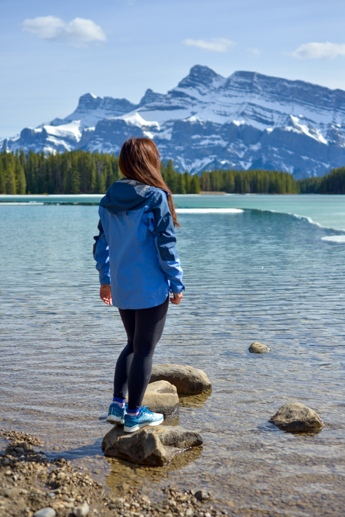
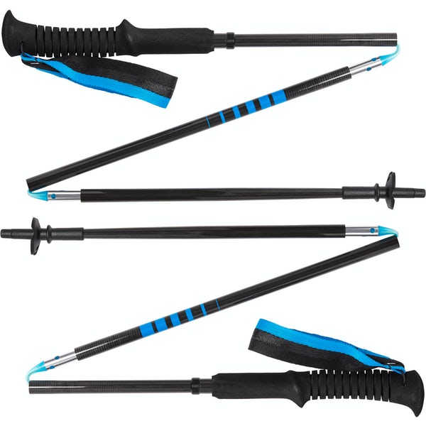
Waterproof mid-height hiking boots, a down hoody or fleece, toque, gloves, and windproof/waterproof shell are recommended year round. Trekking poles are useful for long hikes, steep descents, or when you’re carrying a fully-loaded backpack (or are babywearing). You should also carry The Ten Essentials including: water, extra food, extra clothes, a first aid kit, headlamp, GPS / compass / Garmin inReach Mini 2 satellite communicator* and map of the area, mineral sunscreen, bug spray (this DEET-free insect repellent contains 20% icaridin and will repel ticks), and bear spray. Carry bear spray in a Bear Spray Holster or Scat Griz Bear Spray Running Belt.
*A Garmin inReach Mini 2 satellite communicator is highly recommended for contacting Search & Rescue and emergency contacts in the event of an emergency, or communicating with friends and family when you are out of cell phone range. You can send text messages and your GPS coordinates via satellite, but a monthly service plan is required.
In snowy/icy conditions, traction devices such as Kahtoola Microspikes (Available from Amazon, MEC, and Valhalla Pure Outfitters), or Hillsound Trail Crampons (Available at Valhalla Pure Outfitters and Sport Chek) are recommended. See our Fall/Winter Hiking Gear Guide for recommended clothing and gear.
Trail Trivia
Rumour has it Mockingbird Fire Lookout was named for the Mockin’ Bird Hill song that was popular in the 50s when the original structure was built. The fire lookout that stands today was built in the 70s.
Related Posts
- Lesueur Ridge, Ghost Wilderness
- Glenbow Ranch Provincial Ranch
- Learn about wolfdogs and wolves at Yamnuska Wolfdog Sanctuary
- Bow Valley Provincial Park Recreation Guide


