Where to hike and camp in Bow Valley Provincial Park
Bow Valley Provincial Park is an awesome mountain destination only an hour from Calgary. With panoramic mountain views and scenic hiking trails, geocaching, fishing, biking, and paddling, there is adventure for everyone. Parents of young children will appreciate the short interpretive trails around Bow Valley Campground with minimal elevation gain, benches along the trails for snack breaks, and washrooms at every parking lot. Longer hikes in the park include Raven’s End, Prairie View / Barrier Lake Fire Lookout, Bow Valley Bunker, Heart Mountain, and Mount Yamnuska.
Table of Contents
1. Montane Interpretive Trail
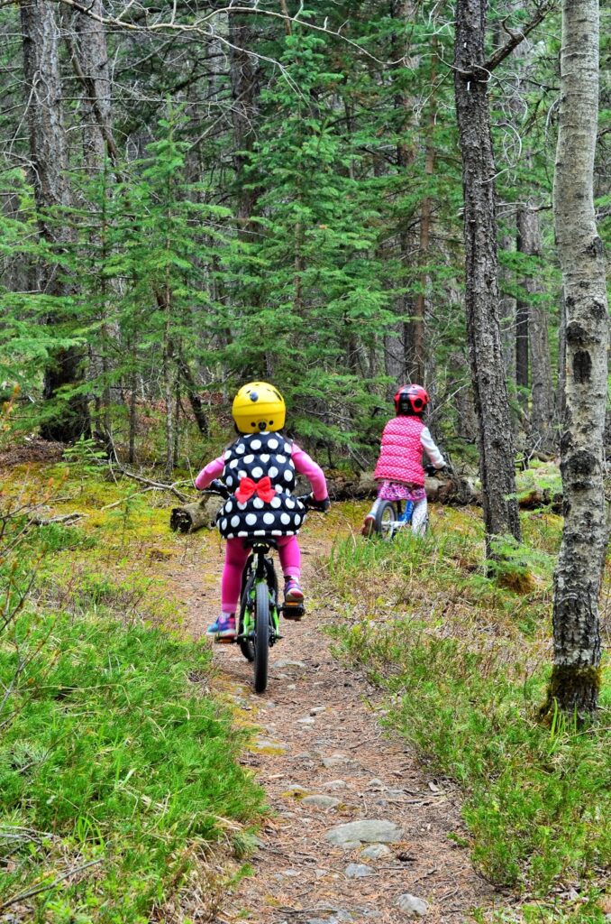
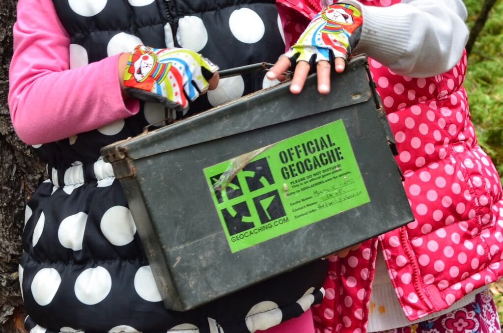
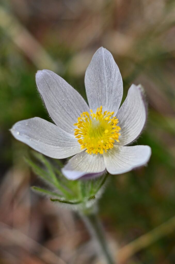
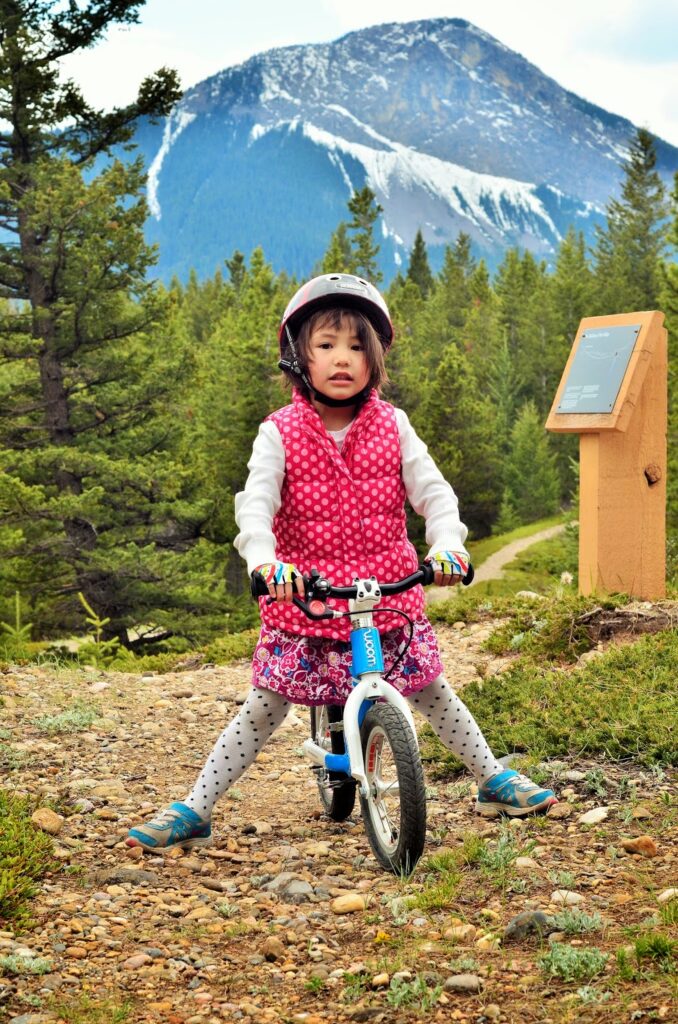
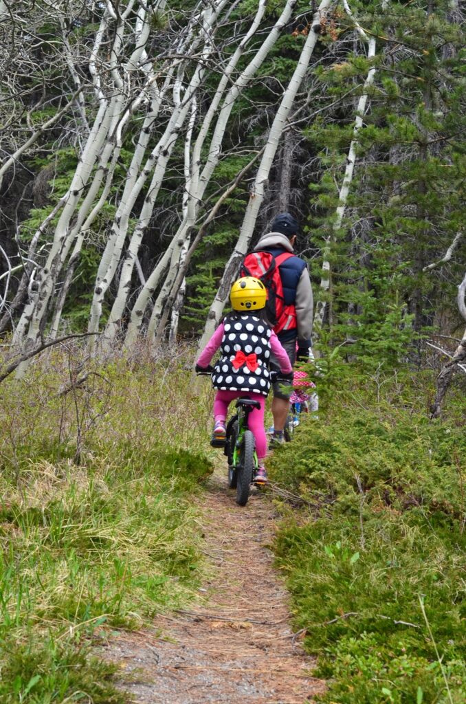
This hiking trail departs from the first day use area when you enter the park. The trailhead is next to the Bow Valley Provincial Park Visitor Centre. On this 1.5 km loop, you will pass through meadow and forest and learn about the ecosystem, and local plants and animals. There are also a couple geocaches on the trail – one in the forest and one in the meadow – see if you can find both! Note that the trail is officially a hiking trail (we let the kids bike because it was off season and no one was there) and we did the loop in the reverse direction.
Distance & elevation gain: 1.5 km loop, minimal elevation
Washrooms? Outhouses at parking lot
Stroller Friendly? Yes, but bumpy and rooty.
Directions from Calgary: Head west on the Trans Canada Highway (Hwy 1), until you get to Exit 114 for Exshaw / Bow Valley Provincial Park. Merge onto Hwy 1AB N. Take first left at sign for Bow Valley Provincial Park. Drive 600 m to Bow Valley Administration and Information Centre.
2. Bow Valley Bike Path
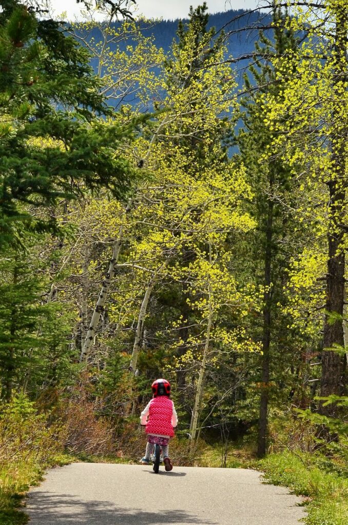
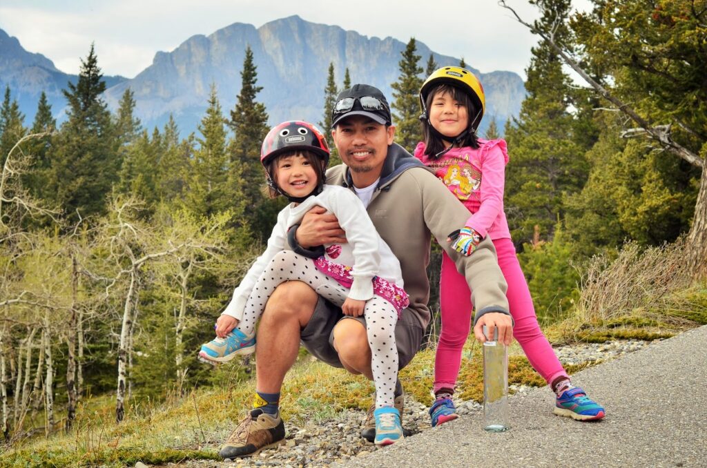
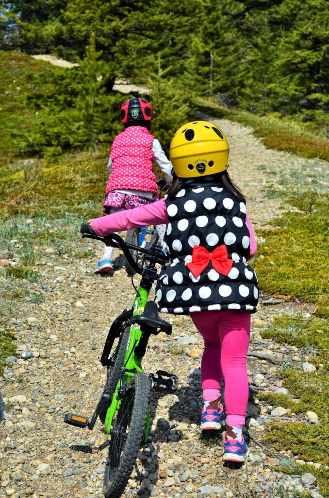
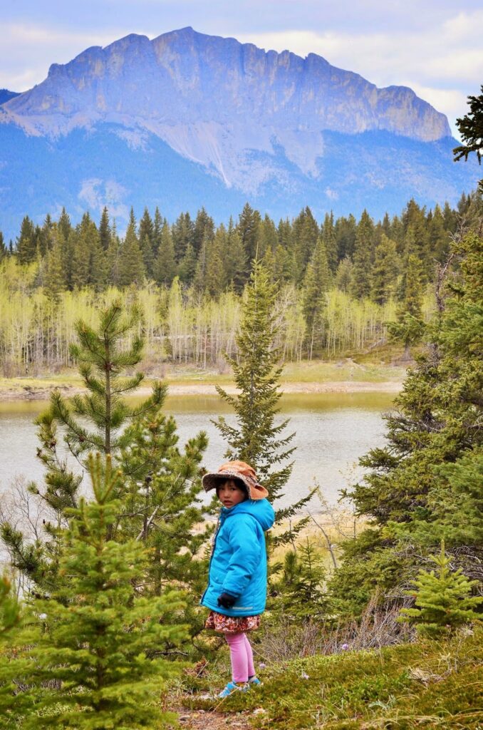
The Bow Valley Bike Path is a rolling ride with views of the Bow Valley and Mount Yamnuska. You can ride from the Visitor Centre all the way to Bow Valley Campground on a scenic paved path. Best suited to bigger kids or little kids who are good with hills.
Distance & elevation gain: 8.6 km return, 85 m elevation
Washrooms? Outhouses at parking lot
Stroller Friendly? Yes.
Directions from Calgary: Head west on the Trans Canada Highway (Hwy 1), until you get to Exit 114 for Exshaw / Bow Valley Provincial Park. Merge onto Hwy 1AB N. Take first left at sign for Bow Valley Provincial Park. Drive 600 m to Bow Valley Administration and Information Centre.
3. Middle Lake Day Use Area and Interpretive Trail
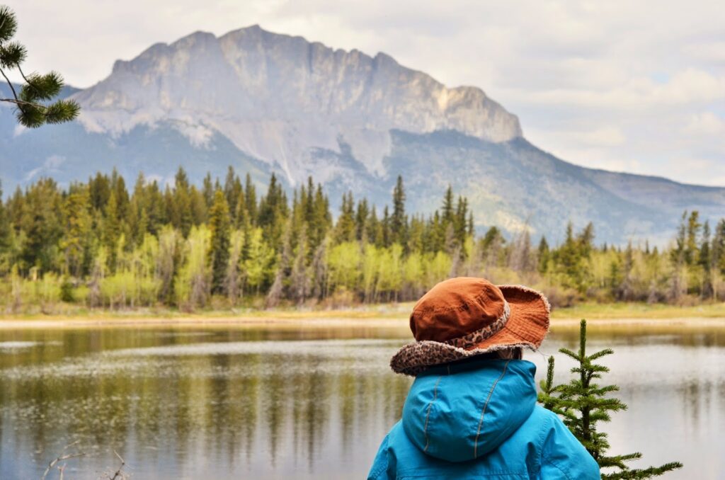
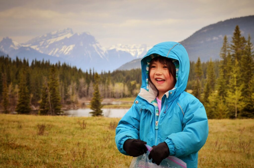
Middle Lake is a pretty picnic spot with a great view of Mount Yamnuska! We’ve stopped for lunch here many times and had a lot of fun geocaching and walking the shoreline. If you are keen on learning about wildlife and habitats, print the Middle Lake Trail Brochure. While the interpretive trail is interesting, if you’re short on time, walk the lakeshore (1 km loop) instead of doing the 2.5 km forest loop.
Distance: 2.5 km loop
Washrooms? Outhouses at parking lot
Stroller Friendly? Yes, but bumpy and rooty
Directions from Calgary: Head west on the Trans Canada Highway (Hwy 1), until you get to Exit 114 for Exshaw / Bow Valley Provincial Park. Merge onto Hwy 1AB N. Take first left at sign for Bow Valley Provincial Park. Drive 3.7 km to Middle Lake Day Use Area.
4. Many Springs Interpretive Trail
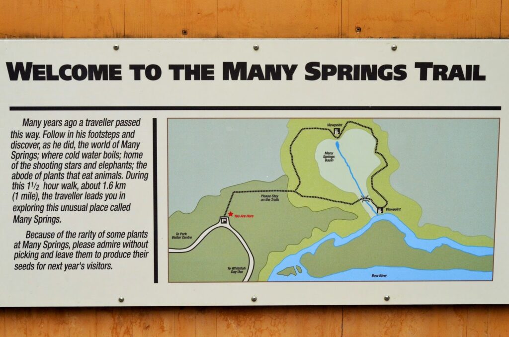
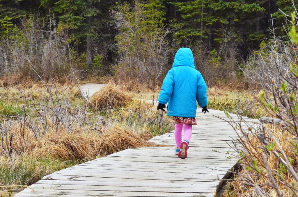
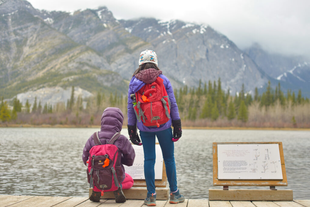
Many Springs Trail is fun for kids because it has structures (a bridge and boardwalk), bubbling springs, and a micro geocache to find.
Distance: 1.9 km loop
Washrooms? Outhouses at parking lot
Stroller Friendly? Yes, lots of boardwalk.
Directions from Calgary: Head west on the Trans Canada Highway (Hwy 1), until you get to Exit 114 for Exshaw / Bow Valley Provincial Park. Merge onto Hwy 1AB N. Take first left at sign for Bow Valley Provincial Park. Drive 6.1 km to Whitefish Day Use.
Know Before You Go: There is an annual road closure from Middle Lake to Bow Valley Campground from mid-October to April 30.
5. Whitefish Day Use Area and Bow River Trail
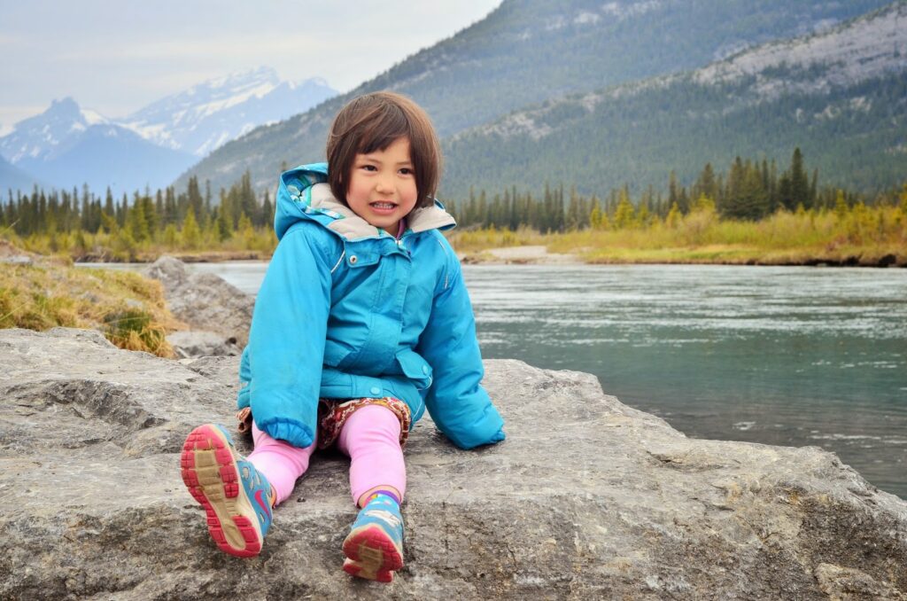
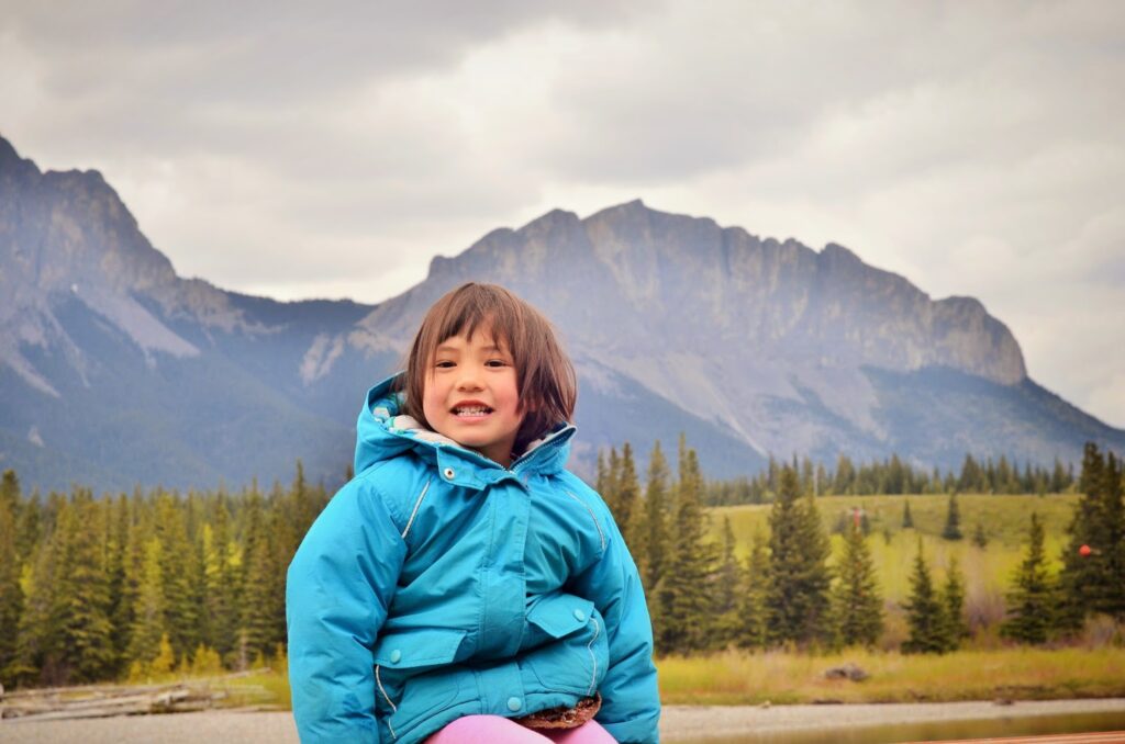
Whitefish Day Use Area is a nice spot to fish, throw some rocks in the water, or have a picnic (I prefer Middle Lake as the tables are more spread out and you cannot see the Exshaw Plant though). For an easy, but pretty stroll, hike to the Bow Valley Campground via the Bow River Trail.
Distance: 1.6 km to Bow Valley Campground
Washrooms? Outhouses at parking lot
Stroller Friendly? No, the river trail is quite narrow and bumpy.
Directions from Calgary: Head west on the Trans Canada Highway (Hwy 1), until you get to Exit 114 for Exshaw / Bow Valley Provincial Park. Merge onto Hwy 1AB N. Take first left at sign for Bow Valley Provincial Park. Drive 6.1 km to Whitefish Day Use Area.
6. Flowing Water Interpretive Trail
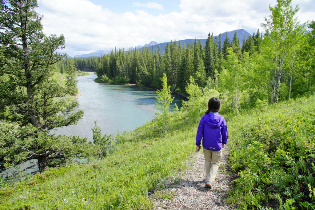
Flowing Water Trail is a fun trail that takes you through lush forest, wetlands, then along the Kananaskis River back to where you started. The trailhead is at Willow Rock Campground near the showers. Great wildflower viewing in May and June!
Distance: 2.4 km loop
Washrooms? Flush toilets in the shower building
Stroller Friendly? No
Directions from Calgary: Head west on the Trans Canada Highway (Hwy 1), until you get to Exit 114 for Exshaw / Bow Valley Provincial Park. Merge onto Hwy 1AB N. Take first right at Willow Rock Campground and park near shower building. The trail head is on the north side of the parking lot and is marked with a hiking sign.
For more information, please see our story: Flowing Water Trail, Bow Valley Provincial Park.
7. Barrier Lake Beaches and Hiking Trails
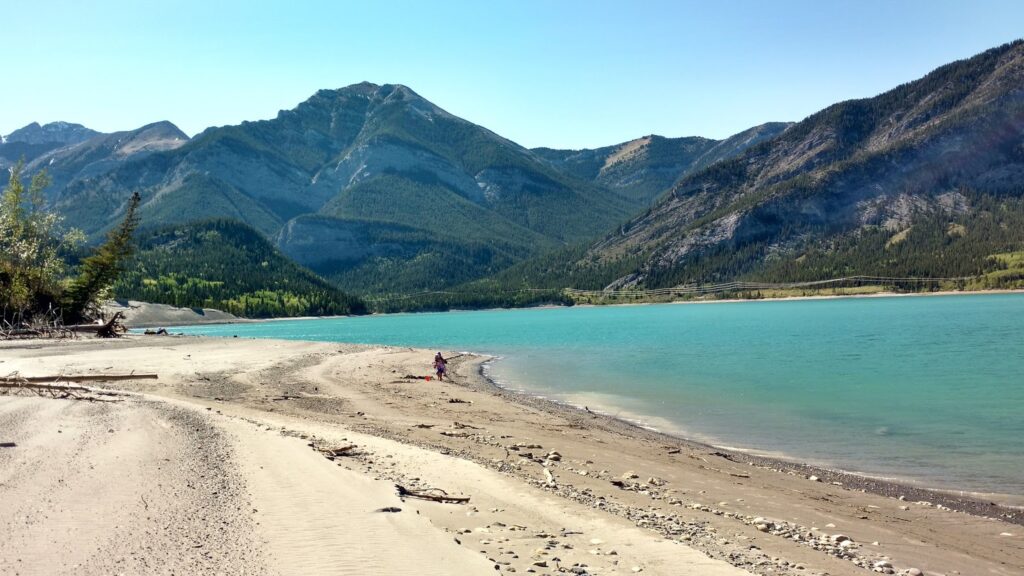
Head to beautiful Barrier Lake for hiking, mountain biking, and paddling. Trails around the lake include Prairie View Trail and Barrier Lake Fire Lookout/Yates Mountain, Jewell Pass, and Stoney Trail. It is possible to make a loop of Prairie View and Jewell Pass if you don’t want to return the way you came.
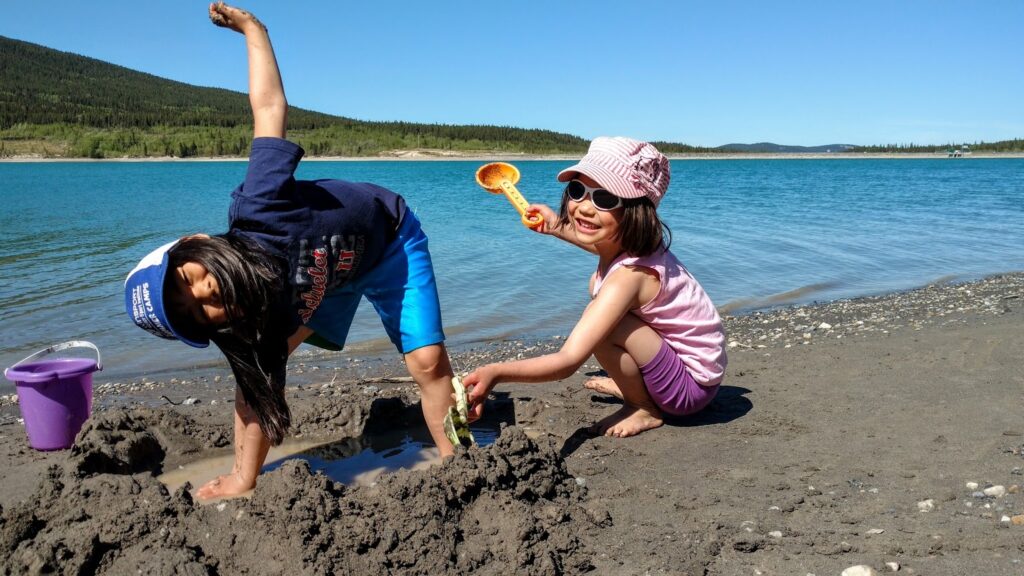
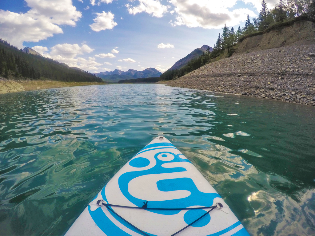
In summer, head to Barrier Lake Day Use Area for beach time. The sandy beaches are perfect for sunbathing and sand castle building! While the turquoise waters are a bit cold for swimming, they are great to paddle on a calm day. Canoe, kayak and stand up paddleboard rentals are available from Kananaskis Outfitters in summer months.
Washrooms? Outhouses at parking lot
Stroller Friendly? Yes, except for Barrier Lake Fire Lookout.
Directions from Calgary: Head west on Highway 1. Take the Highway 40S/Kananaskis Trail exit. At the top of the ramp, turn left at the stop sign. Continue for 12 km. AFTER Barrier Lake Information Centre, turn right at Barrier Dam Day Use (hiking) or Barrier Lake Day Use (beach).
8. Prairie View & Barrier Lake Fire Lookout / Yates Mountain
Prairie View Trail takes you from Barrier Lake to three stunning lookouts: McConnell Ridge, McConnell Ridge upper viewpoint, and Barrier Lake Fire Lookout / Yates Mountain. It’s a good one to do on a windy day as the trail is mostly in the trees.
Distance & elevation: 13.2 km return, 421 m elevation gain (+1.4 km round trip extra to go to the fire lookout)
Washrooms? Outhouses at parking lot
Stroller Friendly? No
Directions from Calgary: Go west on Hwy 1 to Exit 118 (Kananaskis Trail/Hwy 40S). Go up the ramp, turn left. After 9.4 km, turn right at Barrier Dam and park there. The trailhead is at the north end of the parking lot.
For details, see our story: Prairie View Trail & Barrier Lake Fire Lookout/Yates Mountain, Bow Valley Provincial Park.
9. Widow Maker Trail
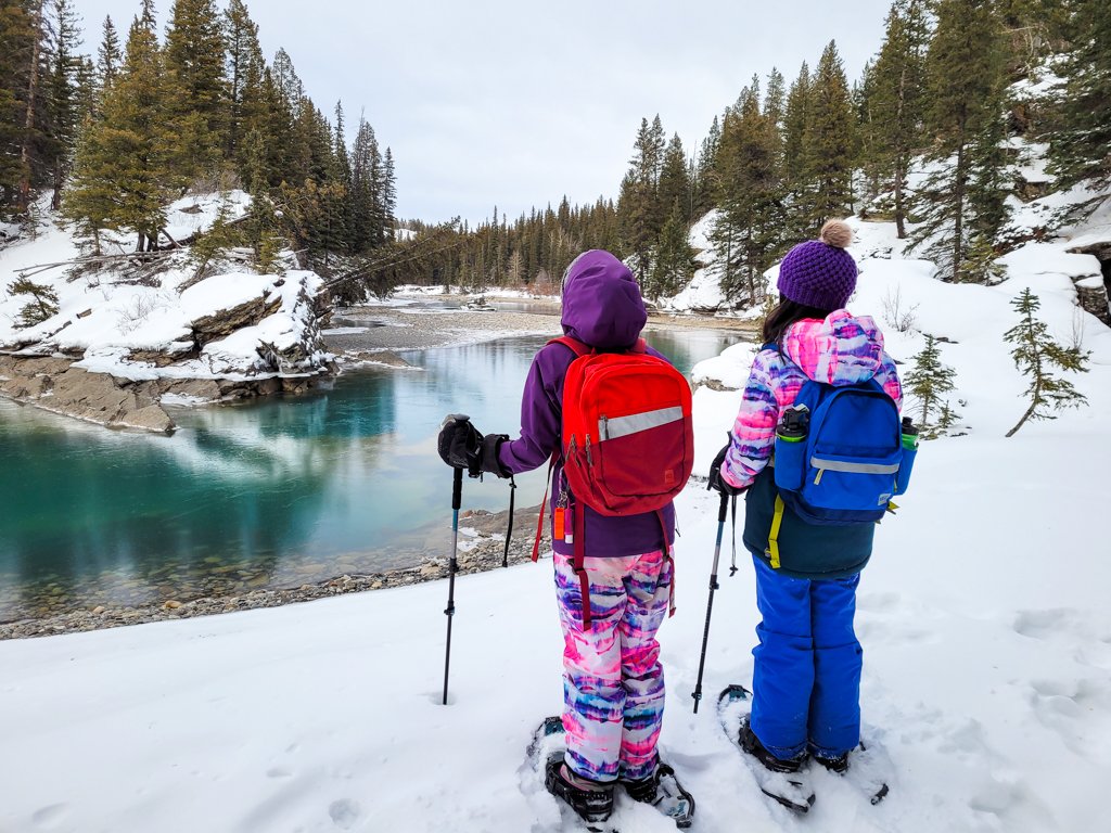
Widow Maker is a short and easy trail along the Kananaskis River. Hike to the Visitor Information Centre or Canoe Meadows, and look for kayakers and river surfers playing in the rapids (near Canoe Meadows).
Distance & elevation: 1.2 km to Kananaskis Visitor Information Centre, 2 km to Canoe Meadows, 2.5 km to end of Canoe Meadows Group Camp. 120 m elevation gain.
Washrooms? Pit toilets at Widowmaker Day Use & Canoe Meadows Day Use, flush toilets at Kananaskis Visitor Information Centre
Stroller Friendly? No
Directions from Calgary: Go west on Hwy 1 to Exit 118 (Kananaskis Trail/Hwy 40S). Go up the ramp, turn left. After 8.3 km, turn right at the Widowmaker sign. The trailhead is at the northwest end of the parking lot, past the gate. Take your first right to hike towards the Visitor Centre and Canoe Meadows.
See our Widow Maker Trail blog post for more info!
10. Heart Creek Interpretive Trail
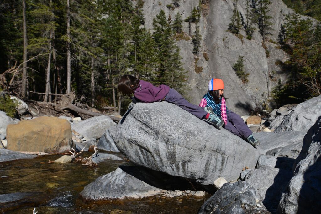
Heart Creek is a fun trail to do on a hot day as there are lots of opportunities to splash in the creek. Kids will love crossing all the bridges (11 in total) and looking for wildflowers. If you want to do more exploring after, check out the Heart Creek Bunker which starts on the opposite side of the parking lot!
Distance: 4 km return
Washrooms? Outhouses at parking lot
Stroller Friendly? No.
Directions from Calgary: Go west on Hwy 1 for 86 km. Take exit 105 (Lac des Arcs) and turn left. Continue straight to the Heart Creek Parking Lot.
11. Bow Valley Bunker (aka Heart Creek Bunker)
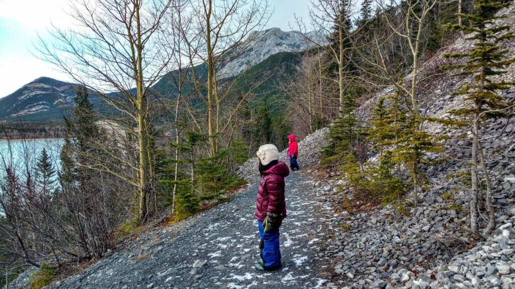
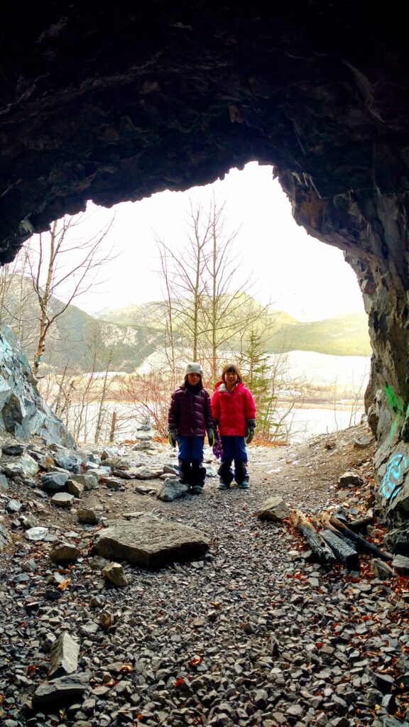
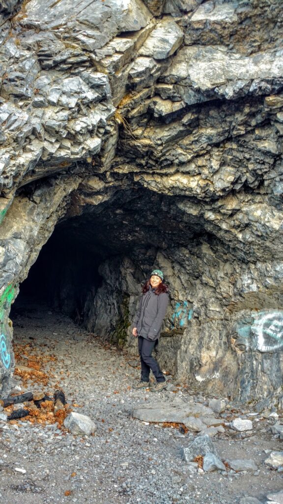
Hike to the site of 2 large (80′ x 25′) caverns (and one smaller one) intended for document storage during the Cold War. This short and easy hike is a fun exploratory trip when the weather is bad. Bring a bright headlamp is it’s super dark inside!
Distance & elevation: 3.8 km return, 94 m elevation gain
Washrooms? Outhouses at parking lot
Stroller Friendly? No
Directions from Calgary: Go west on Hwy 1 for 86 km. Take exit 105 (Lac des Arcs) and turn left. Continue straight to the Heart Creek Parking Lot.
For the route description for this unofficial trail, see our story: The Heart Creek/Bow Valley Bunker.
12. Raven’s End (Shoulder of Yamnuska)
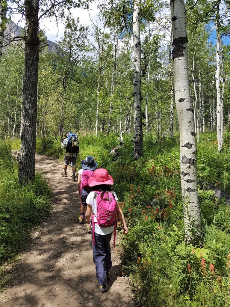
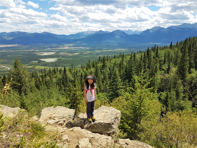
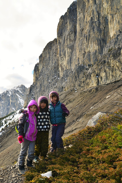
Hike through alders and mixed forest to the east shoulder of Mount Yamnuska. Enjoy prairie views and dramatic views of Yamnuska. If you’d like to hike to the summit of Yam, note that it is a challenging hike (easy-to-moderate scramble). Read our detailed trip report with instructions for Raven’s End, Upper Viewpoint, and Yamnuska Summit here: Hiking Mount Yamnuska.
Distance & elevation: 7 km return, 500 m elevation gain
Washrooms? Outhouses at parking lot
Stroller Friendly? No
Directions from Calgary: Go west on Hwy 1 until exit 114 (Seebe/Exshaw). Merge onto Hwy 1X, at the stop sign, turn right onto Hwy 1A, Turn left at the Yamnuska Day Use sign. The trailhead is at the west end of the parking lot.
Know Before You Go
- A Kananaskis Conservation Pass is required to park in Kananaskis. Purchase your pass online from the Government of Alberta.
- You are in bear territory. Review our Bear Safety Tips and keep bear spray accessible.
- Dogs must be kept on a leash.
- Pack out all trash and dog poop.
Getting Here
Bow Valley Provincial Park is located one hour west of Calgary and half an hour east of Canmore, just off the TransCanada Highway (Hwy 1).
Bow Valley Provincial Park Amenities
- Visitor Centres – Bow Valley, Barrier Lake
- Cell phone service throughout most of the park
- Dining and lodging in Exshaw, Deadman’s Flats, and Canmore
Camping in Bow Valley Provincial Park
If you’d like to stay in the Bow Valley for a while, there are several great campgrounds to choose from! See Alberta Parks – Bow Valley Provincial Park for more information on the following:
- Backcountry Campgrounds: Jewell Bay, Quaite Valley – backcountry permits required
- Bow River – closest to Banff, reservable
- Bow Valley – near Mount Yamnuska, reservable, has a camping store. Very pleasant with shaded, private sites, but expect some highway and train noise. For a details, see our story: Camping at Bow Valley Campground.
- Canoe Meadows: reservable walk-in tent sites
- Group Campgrounds: Canoe Meadows, Elk Flats, Grouse, Owl, Grey Jay
- Lac Des Arcs – Smaller campground (30 sites) near the trailhead for Heart Creek, reservable
- Three Sisters – at Dead Man’s Flats, FCFS
- Willow Rock – near Mount Yamnuska, FCFS, large trailer sites near the road and small tenting/car access sites in the trees, has showers
Activities in the Park
- Biking – Try the Bow Valley Paved Bike Path (8.6 km return) or bike on the road before the winter gate opens (seasonal closure from Middle Lake to Bow Valley Campground from mid-October – April 30).
- Fishing – in Gap Lake, Bow River, or Grotto Pond (stocked).
- Geocaching – At time of writing, there were more than 8 geocaches in the north part of the park (near Bow Valley Campground). Learn to geocache with your phone and a free app here.
- Hiking – See a complete listing of the park’s trails at Alberta Parks – Bow Valley Provincial Park.
- Paddling – Paddle at Barrier Lake (put in at Barrier Dam, Barrier Lake, or Widow Maker), Canoe Meadows (river paddling & surfing), Gap Lake, or Lac Des Arc.
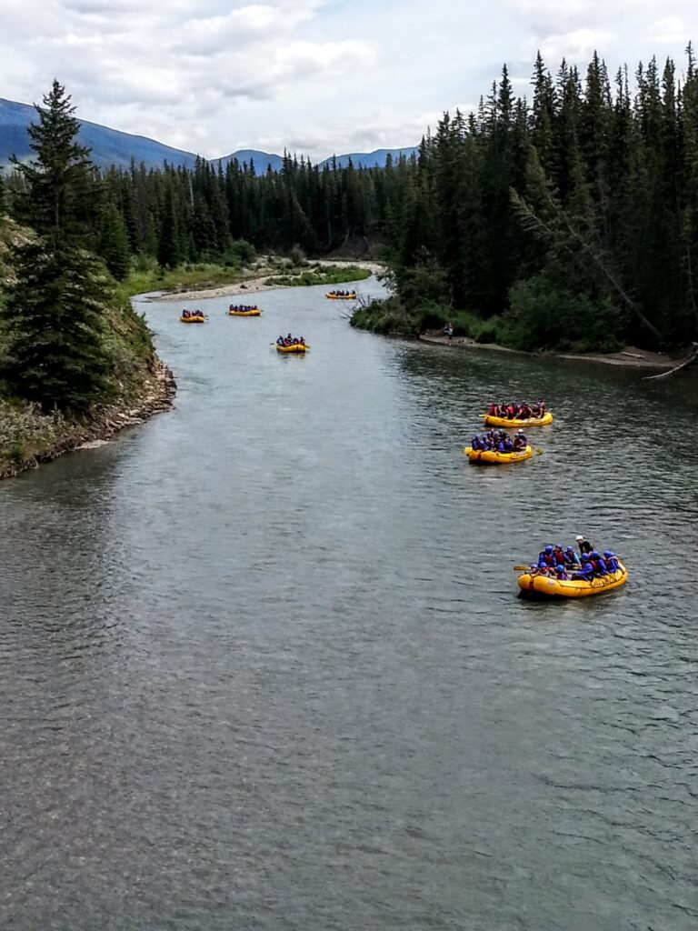
- Rafting – Canmore River Adventures, Inside Out Experience, Chinook Rafting, Discover Banff Tours, Canadian Rockies Rafting, and Kananaskis White Water Rafting offer family-friendly trips down the Kananaskis River through Bow Valley Provincial Park!
What to Bring
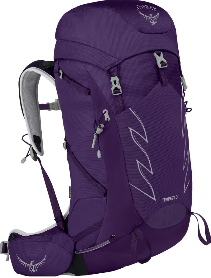
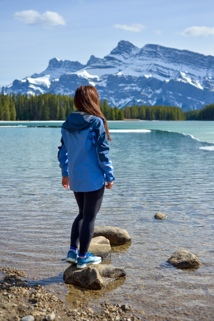
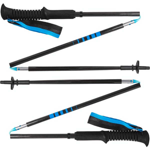
Disclosure: This section includes affiliate links through which I earn a commission on qualifying purchases at no extra cost to you.
Waterproof mid-height hiking boots, a down hoody or fleece, toque, gloves, and windproof/waterproof shell are recommended year round. Trekking poles are useful for long hikes, steep descents, or when you’re carrying a fully-loaded backpack (or are babywearing). You should also carry The Ten Essentials including: water, extra food, extra clothes, a first aid kit, headlamp, GPS / compass / Garmin inReach Mini 2 satellite communicator* and map of the area, mineral sunscreen, bug spray (this DEET-free insect repellent contains 20% icaridin and will repel ticks), and bear spray. Carry bear spray in a Bear Spray Holster or Scat Griz Bear Spray Running Belt.
*A Garmin inReach Mini 2 satellite communicator is highly recommended for contacting Search & Rescue and emergency contacts in the event of an emergency, or communicating with friends and family when you are out of cell phone range. You can send text messages and your GPS coordinates via satellite, but a monthly service plan is required.
In snowy/icy conditions, traction devices such as Kahtoola Microspikes (Available from Amazon, MEC, and Valhalla Pure Outfitters), or Hillsound Trail Crampons (Available at Valhalla Pure Outfitters and Sport Chek) are recommended. See our Fall/Winter Hiking Gear Guide for recommended clothing and gear.
We hope you have a great time in Bow Valley Provincial Park!
Related Posts
- Camping at Bow Valley Campground
- The Best Short Hikes Near Calgary
- The Best Short Hikes in Kananaskis
- Heart Creek Bunker


2 comments
Thanks for your message! Once the winter gate opens (May 1), Many Springs Trail is a great Chariot hike with boardwalk, bubbling springs, and wildflowers! It's pretty flat too. 🙂
Montane could be done with a Chariot, but since it has rocky and rooty sections, and a hill, I wouldn't advise it while pregnant.
Middle Lake Trail could also be done with a Chariot, but has a bit of elevation gain. I would recommend going for a picnic there and enjoying the beautiful view of Yamnuska (few hundred metres from the parking lot) if you don't have time to do the whole trail.
Hope that helps!
Hi there, really enjoy following your blog. Just wondering if you would say any of these hikes are stroller/chariot friendly? I am looking for some great hikes to do with my almost-2-year-old, who still gets tuckered out pretty quick. I am pregnant as well so don't want to use a carrier for him at the moment.
Comments are closed.