Large caverns built for document storage during the Cold War are a spooky place to explore near Canmore.
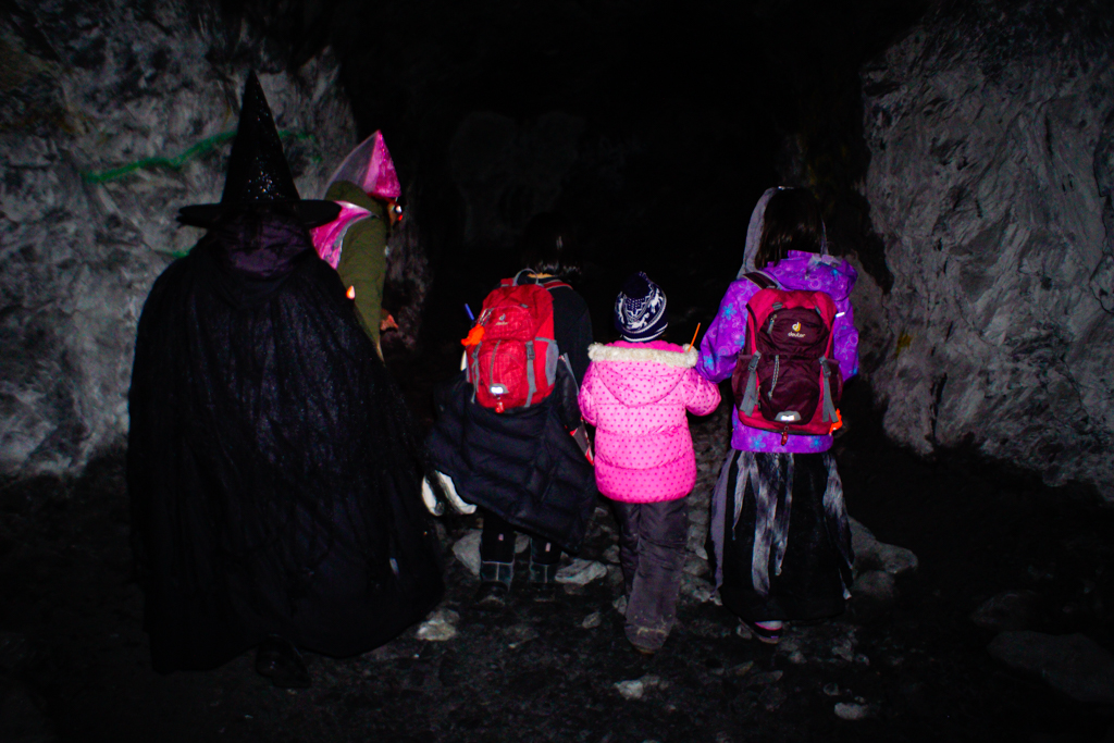
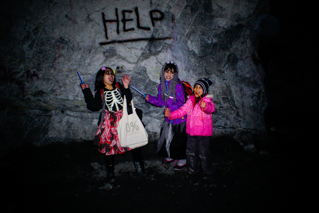
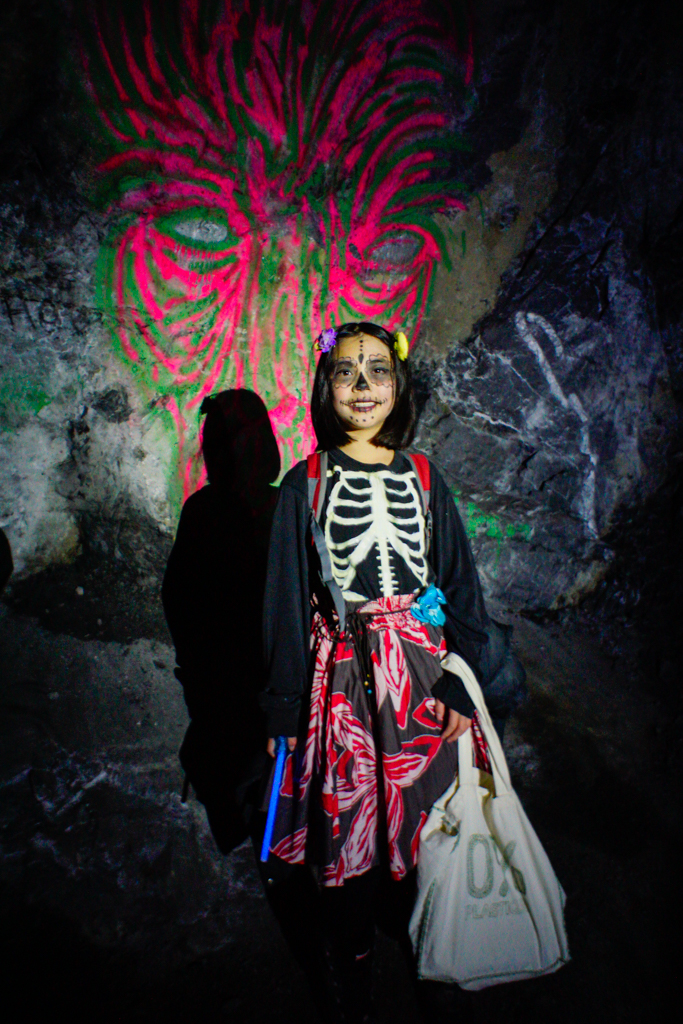
Known as the Heart Creek Bunker, Diefenbunker, Vault, and Bow Valley Bunker, the large caverns in Mount McGillivray are a unique hiking destination with a colorful history. Urban legend has it that the massive bunker was carved into the side of the mountain to house important government officials during the Cold War. The real purpose of the “bunker,” however, was to store sensitive documents1. Due to budget constraints and humidity, documents were never stored here, but the caverns remain as a testament to the politics and paranoia of the late ’50s. It’s an interesting place to visit year round, but we like it best around Halloween!
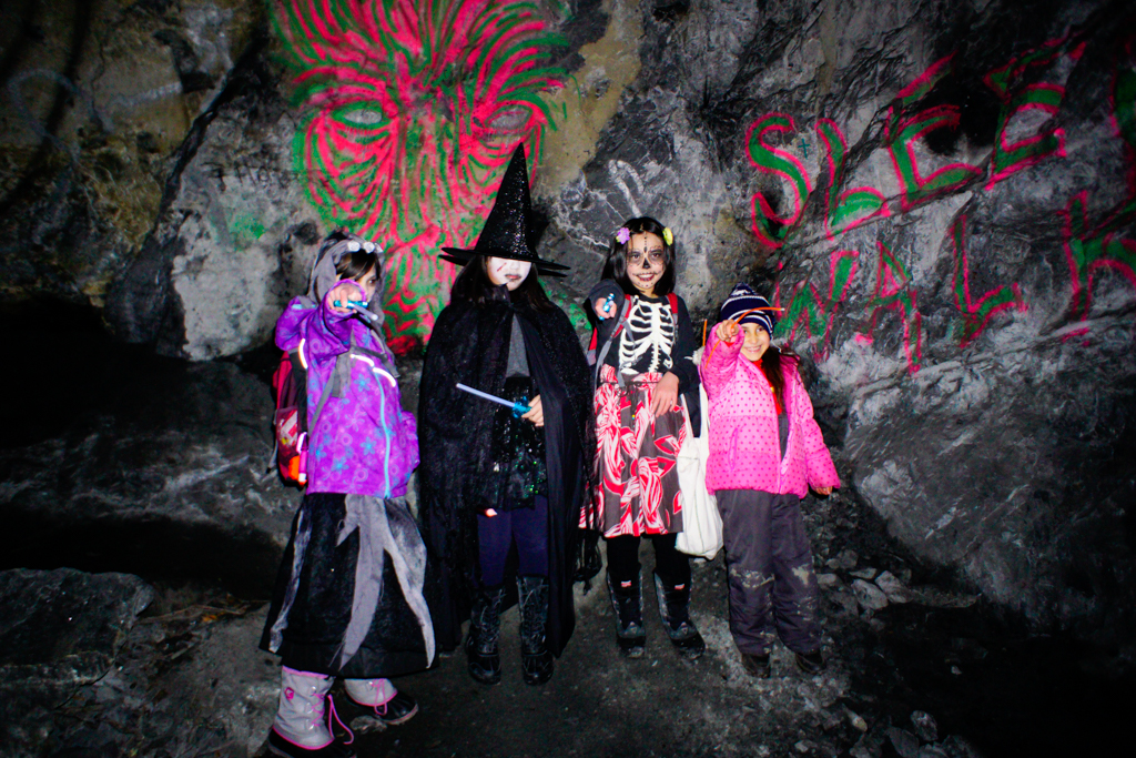
Table of Contents
Heart Creek Bunker Route Description
This is an unofficial trail, so it is not listed in the Alberta Parks trail reports. Avoid this trail when the slope the bunker is on is snow covered – it is an avalanche slope subject to infrequent avalanches!
The trail to the Heart Creek / Bow Valley Bunker begins at the Heart Creek Parking lot, just off the Trans Canada Highway, across from Lac des Arcs. Look for the Trans Canada Trail marker on the west side of the parking lot (NOT the the Heart Creek Trailhead). If you pass an interpretive sign about black bears within a few metres, you’re on the right track. Continue through mixed forest to a gravel-bed gulley (200 m from the parking lot). The path has been re-established post floods and is easy to follow.
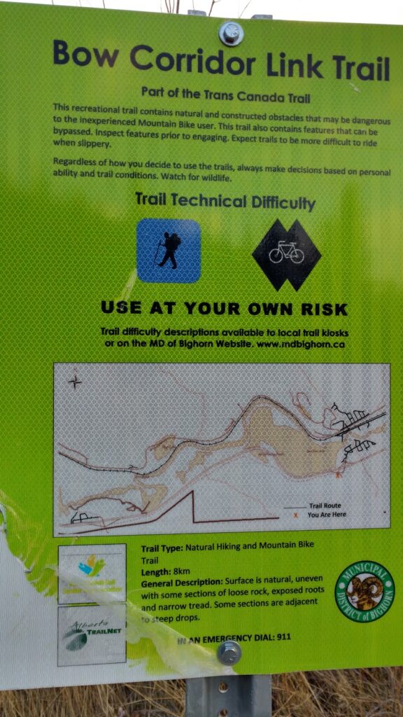
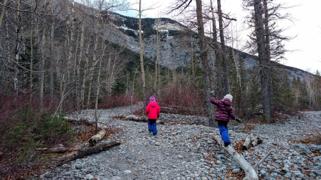
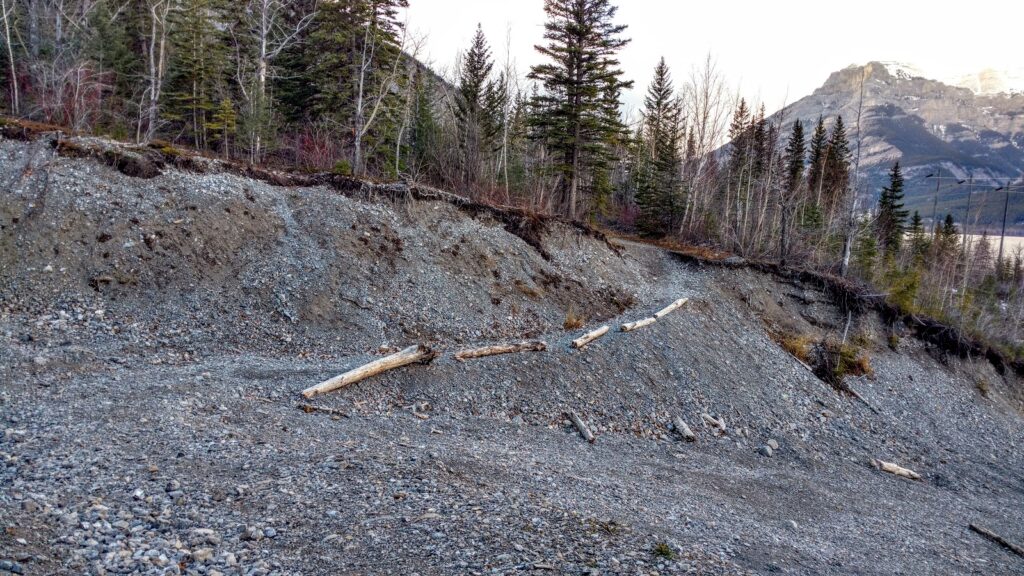
At the halfway point (~1 km from parking lot), you will cross another gulley. Continue through the forest on a fairly level trail, then go down a big hill. At the junction (marked with a Trans Canada Trail marker), turn left. At the next junction (also marked), turn left again. From here, it’s only 200 metres to the cavern entrance.
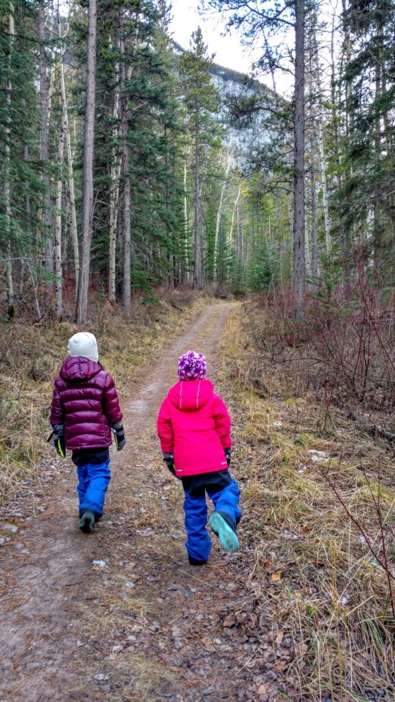
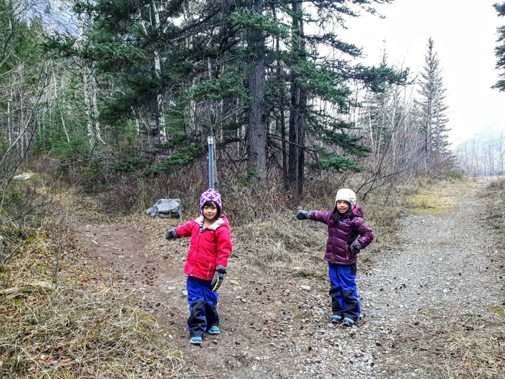
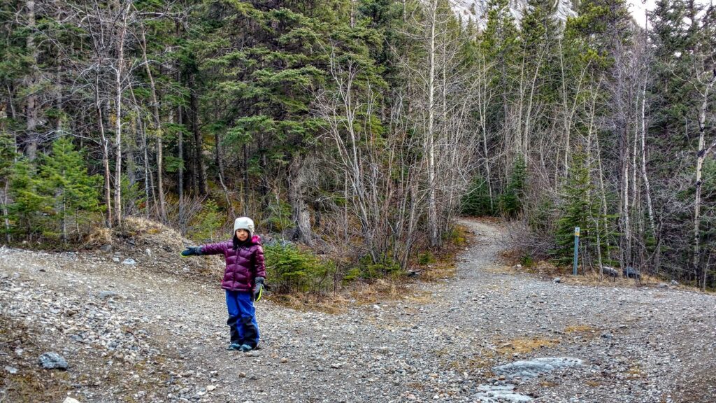
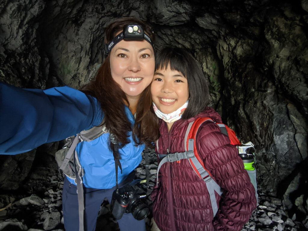
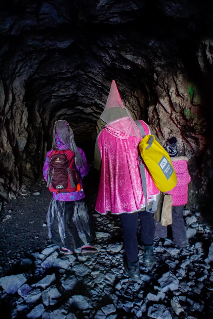
Bring a bright headlamp so you may explore the 80′ x 25′ caverns2. There is also a smaller cavern that may have been meant to be a reception area or lounge3.
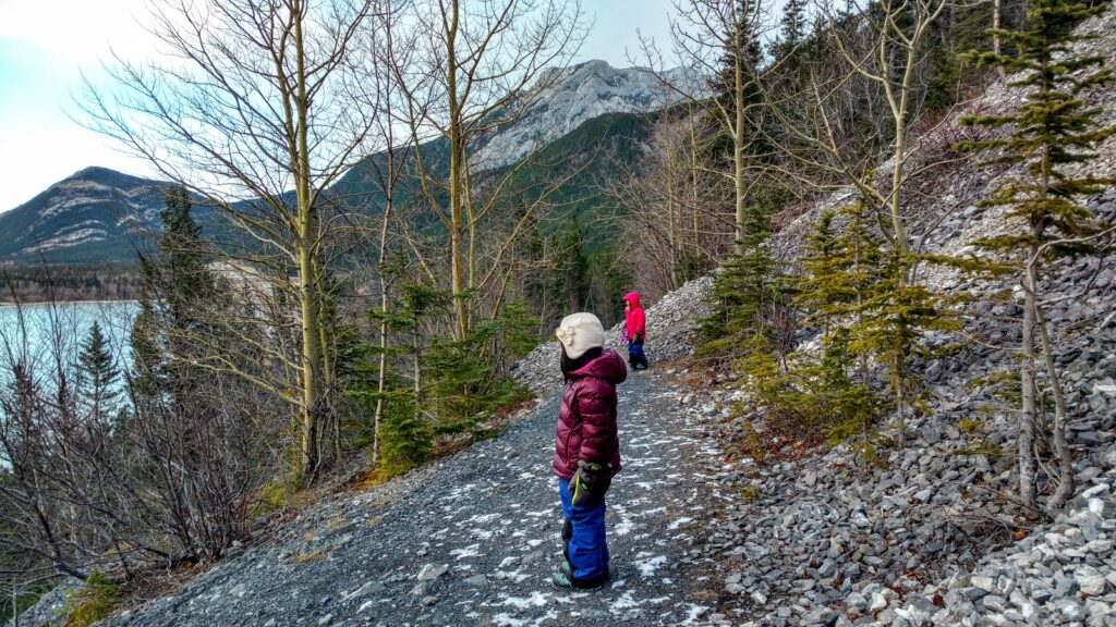

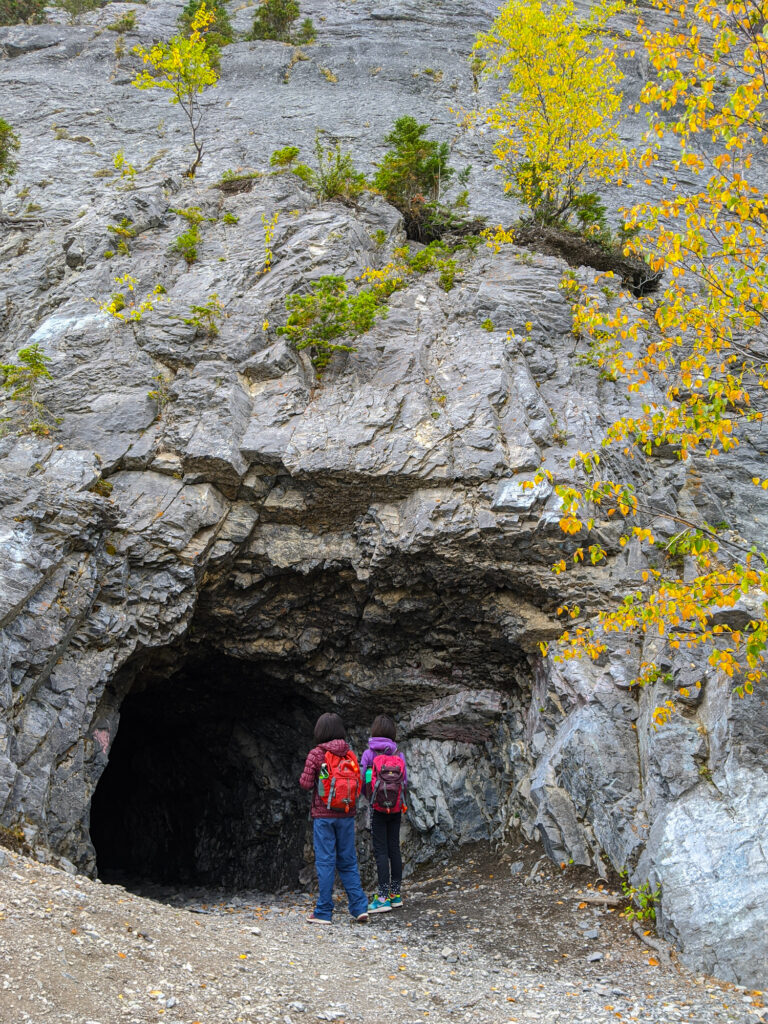
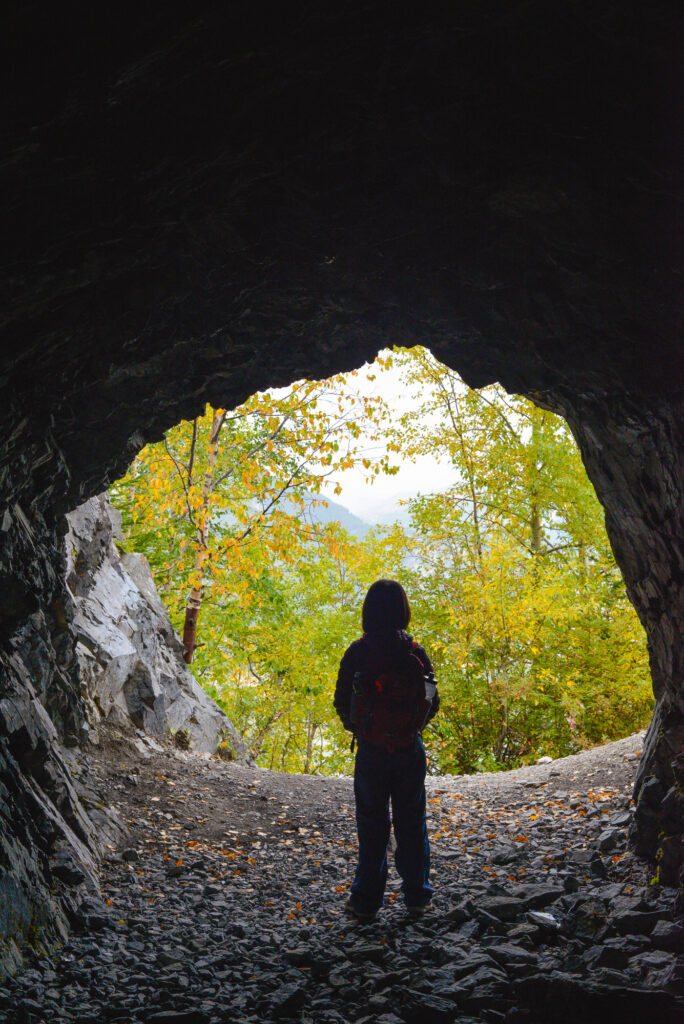
Allow 5-15 minutes to explore the caverns! We enjoyed some cocoa and cookies at the cave entrance after and watched a train go by Lac des Arcs below. This trail is a quick win when you want to try something new!
Bow Valley Bunker Trail At A Glance
SAFETY NOTE: The bunker entrance (and 100 metres of the trail before it) is on an avalanche slope. Do not do proceed if the slope is snow covered!
Distance: 3.8 km return
Elevation gain: 94 m
Difficulty: Easy
Chariot friendly: Yes, but the first part of the trail is very rocky and bumpy. Child-carrier backpack recommended.
Getting Here
Directions from Calgary: Go west on Hwy 1 for 86 km. Take exit 105 (Lac des Arcs) and turn left. Continue straight to the Heart Creek Parking Lot. The trailhead is on the west side of the parking lot (it does NOT start where Heart Creek Trail starts!).
Know Before You Go
- A Kananaskis Conservation Pass is required to park in Kananaskis. Purchase your pass online from the Government of Alberta.
- You are in bear territory. Review our Bear Safety Tips and keep bear spray accessible.
- Dogs must be kept on a leash.
- Pack out all trash and dog poop.
What to Bring
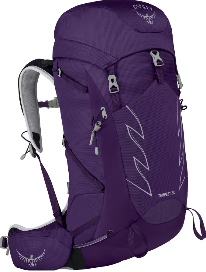


Disclosure: This section includes affiliate links through which I earn a commission on qualifying purchases at no extra cost to you.
Waterproof mid-height hiking boots, a down hoody or fleece, toque, gloves, and windproof/waterproof shell are recommended year round. Trekking poles are useful for long hikes, steep descents, or when you’re carrying a fully-loaded backpack (or are babywearing). You should also carry The Ten Essentials including: water, extra food, extra clothes, a first aid kit, headlamp, GPS / compass / Garmin inReach Mini 2 satellite communicator* and map of the area, mineral sunscreen, bug spray (this DEET-free insect repellent contains 20% icaridin and will repel ticks), and bear spray. Carry bear spray in a Bear Spray Holster or Scat Griz Bear Spray Running Belt.
*A Garmin inReach Mini 2 satellite communicator is highly recommended for contacting Search & Rescue and emergency contacts in the event of an emergency, or communicating with friends and family when you are out of cell phone range. You can send text messages and your GPS coordinates via satellite, but a monthly service plan is required.
In snowy/icy conditions, traction devices such as Kahtoola Microspikes (Available from Amazon, MEC, and Valhalla Pure Outfitters), or Hillsound Trail Crampons (Available at Valhalla Pure Outfitters and Sport Chek) are recommended. See our Fall/Winter Hiking Gear Guide for recommended clothing and gear.

References
1, 2, 3 A Dark Secret: Inside Alberta’s Nuclear Bunker, Highline Magazine.
Related Posts
- The BEST Short Hikes Near Calgary
- MORE Best Short Hikes Near Calgary (Kananaskis Version)
- 4 Shoulder Season Hikes in Banff
- The Best Shoulder Season Hikes in Kananaskis
- Family Fun in Bow Valley Provincial Park


