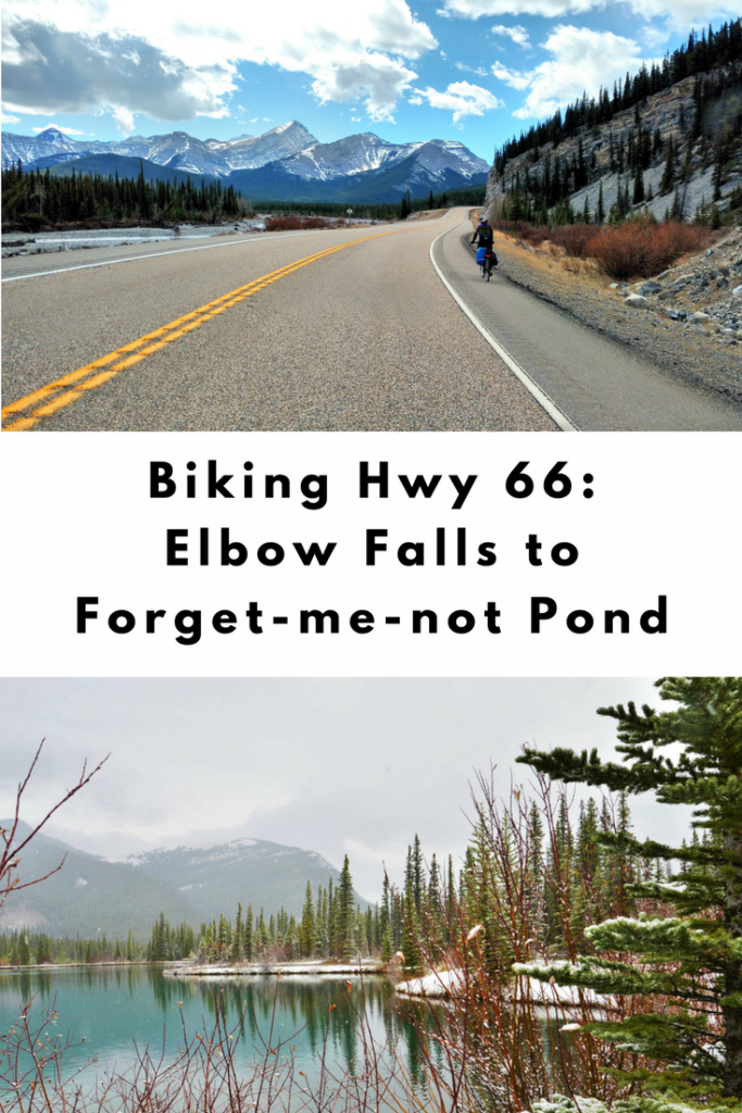
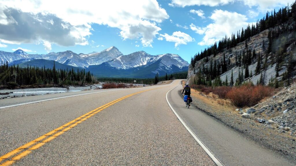
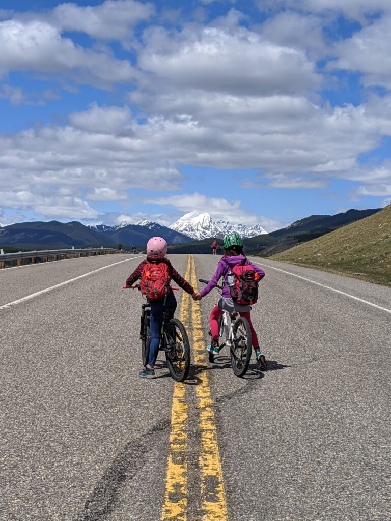
For a fun, car-free road riding experience, bike highway 66 from Elbow Falls to Forget-me-not Pond when the winter gate is closed (December 1-May 14). If biking with little kids, Beaver Flats Campground is an easy ride.
Table of Contents
Highway 66 from Elbow Falls to Forget-me-not Pond Route Description
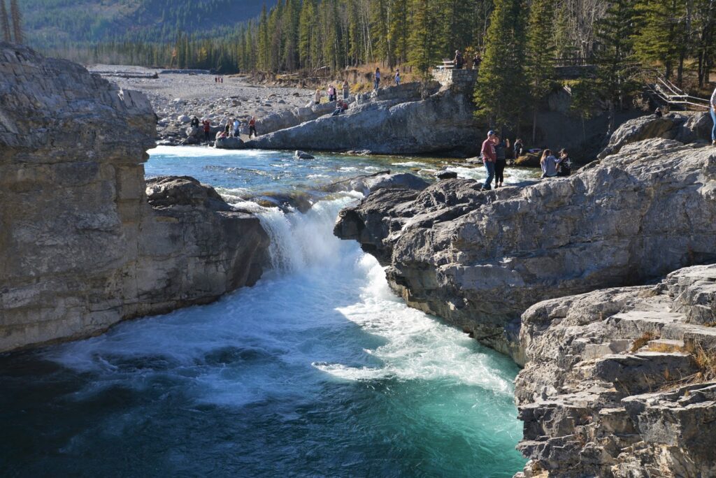
0 km Elbow Falls
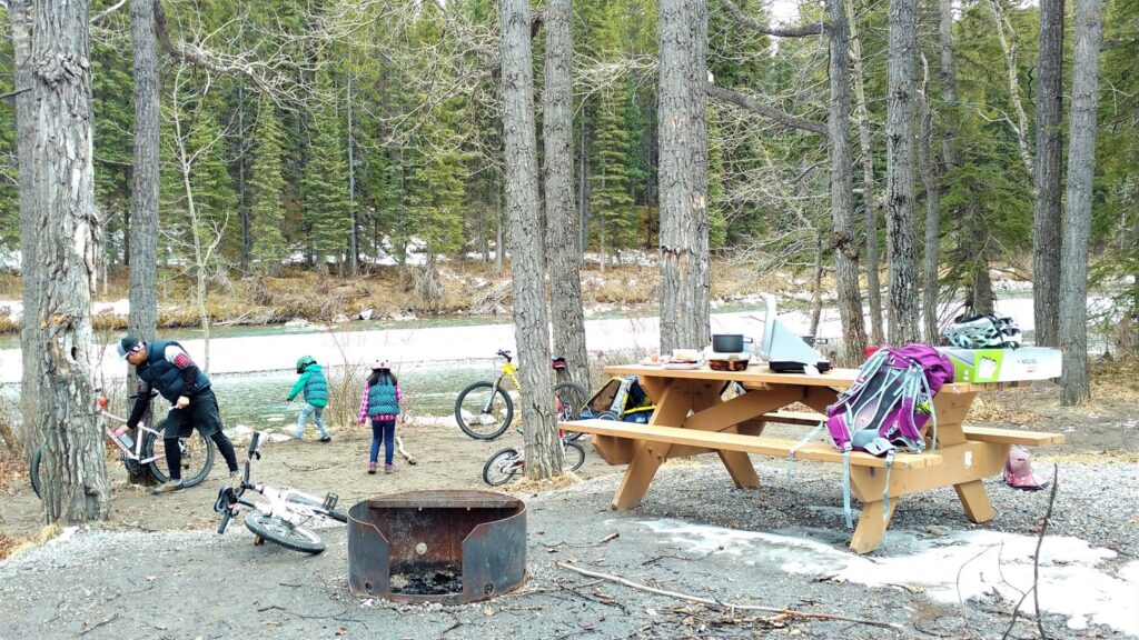
2 km Beaver Flats Campground*
5.1 km Rainy Summit (225 metres elevation gain)
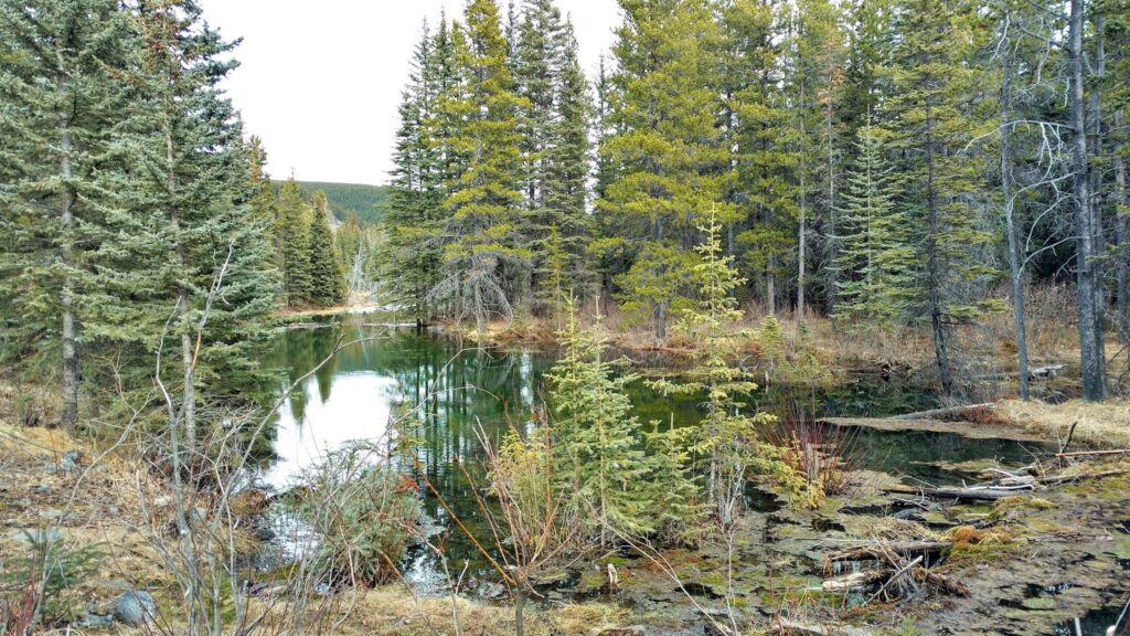
10 km Forget-me-not Pond
Total distance: 20 km return
Total elevation gain: 350 metres (225 metres on the way there, 125 metres on the way back)
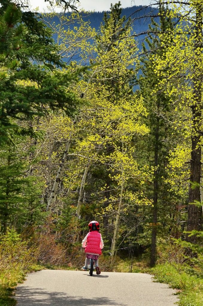
The first two kilometres to Beaver Flats Campground are easy – my kids did it on balance bikes when they were little! Picnic here, then hike the Beaver Dam interpretive trail (1.4 km one way). Beyond this point, bikes with gears are recommended.
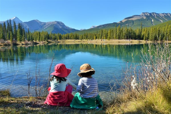
It’s a big climb to Rainy Summit, but the views are worth it! Enjoy the view, then coast downhill to Cobble Flats. Continue on to the end of Highway 66 and turn left to visit beautiful Forget-me-not Pond. There are picnic tables at the Day Use Area if you’d like to stay a while! Nearby hiking trails include Nihahi Ridge, Sunrise Hill and Powder Puff, and Powderface Ridge.
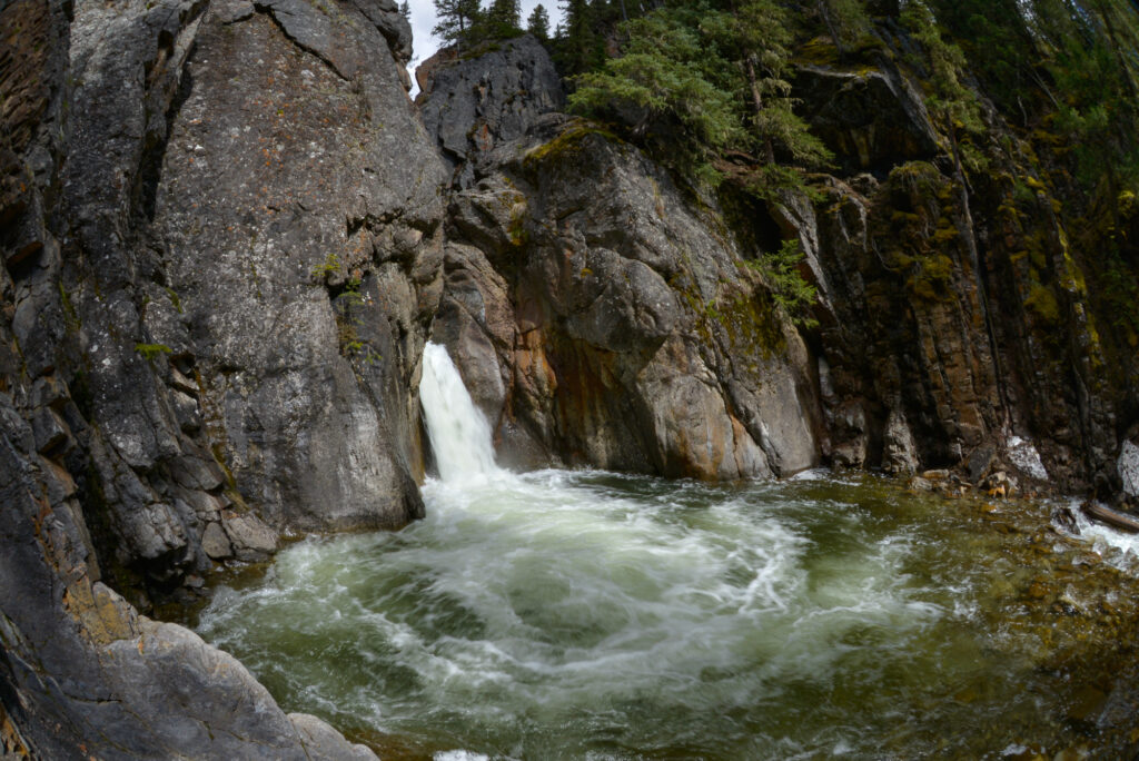
Return the way you came, and make a pit stop at beautiful Elbow Falls (2 minute walk) before driving home.
Enjoy this bike ride from mid April until mid May, conditions permitting.
What to Bring
Disclosure: This post includes affiliate links through which I may earn a small commission at no extra cost to you. Thank you for supporting our small family business!
Bring a hydration pack or water bottle, snacks, a down hoody or fleece, windproof-waterproof shell, cycling gloves, first aid kit, bike tube (get the right size for your tire), bike tools, and portable bike pump. A bike pannier rack and pannier bags are handy if you don’t want to carry a backpack.
You should also carry The Ten Essentials including: water, extra food, extra clothes, a headlamp, a GPS / satellite communicator / compass, and map of the area, sunscreen (this one is safe for babies), bug spray (this deet-free one contains 20% icaridin and will repel ticks), and bear spray. Carry bear spray in a Bear Cozy (holster that fits in your water bottle holder) or Scat Belt.
Getting Here
Elbow Falls parking lot (closest parking to the Hwy 66 winter gate) is located 55 minutes southwest of Calgary. Stop in Bragg Creek after your ride for a beer or coffee!
More Road Rides Beyond Winter Gates
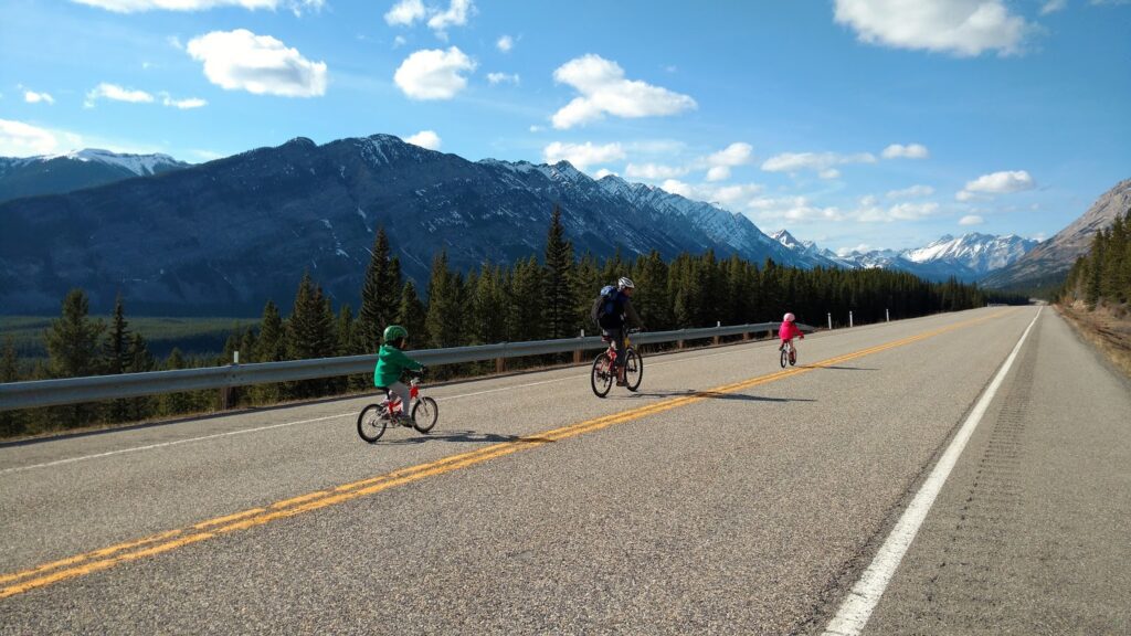
Bow Valley Park Road: The winter gate is closed mid-October to April 30. This is the most family-friendly road to bike as it has the least elevation gain. Read about more things to do in the park here: Bow Valley Provincial Park Camping and Recreation Guide.
Highway 40, Kananaskis: winter gate is closed December 1 to June 14.
- Option 1: Bike from the north winter gate near King Creek Day Use to Elpoca (10 km return, steep). Adults can challenge themselves biking to Highwood Pass, the highest paved pass in Canada (17 km one way, 536 m elevation gain)!
- Option 2: Bike from Highwood House junction to Cat Creek Day Use (6.1 km one way), then hike to Cat Creek Falls. Read more in our story Bike Highway 40 to Cat Creek Day Use & Hike to Cat Creek Falls.
Sheep River Road: Bike from the winter gate at Sandy McNabb Campground to Bighorn Lookout (7.5 km one way) or Sheep River Falls (15.1 km one way). For more details, see our story Biking Sheep River Road (Hwy 546) to Sheep River Falls.
What’s your favorite spring road ride?
