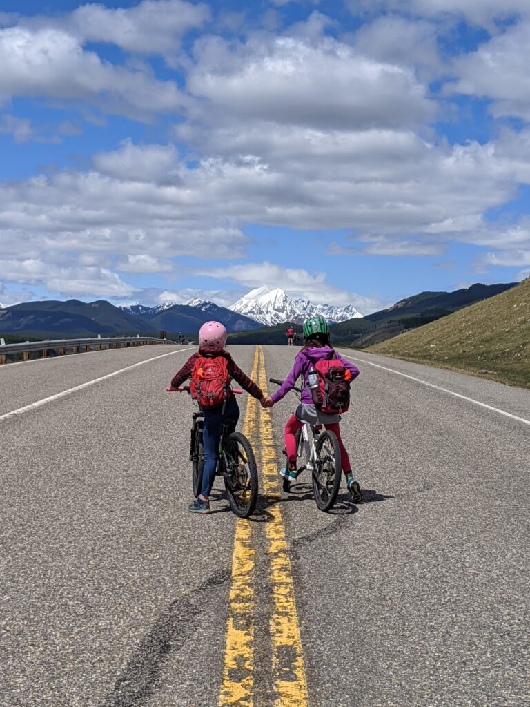
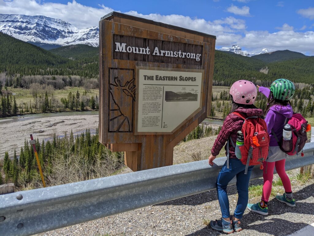
For a fun spring adventure, bike Highway 40 from Highwood House Junction to Cat Creek Falls Day Use, then hike to a pretty waterfall. This section of Highway 40 is closed each year from December 1 – June 14, so you can ride the road without cars!
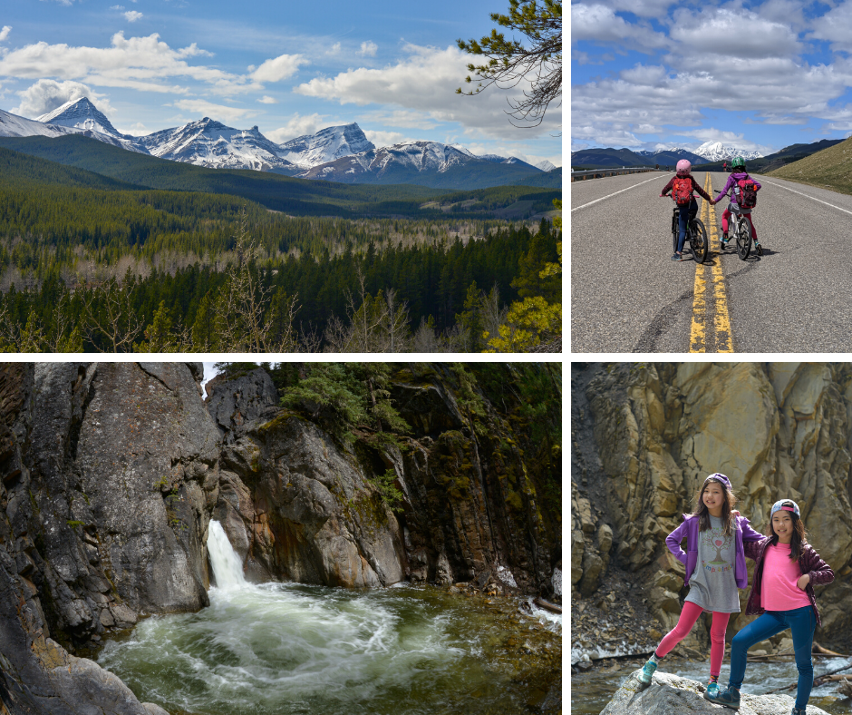
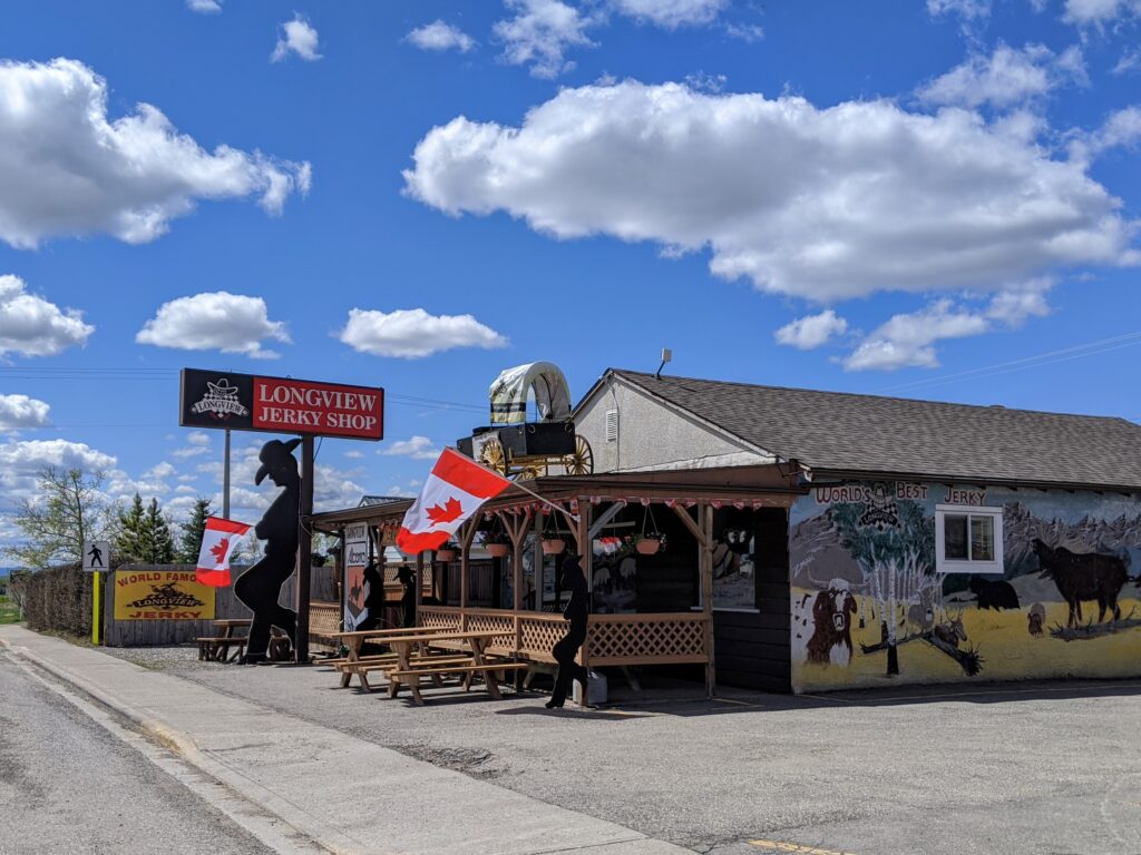
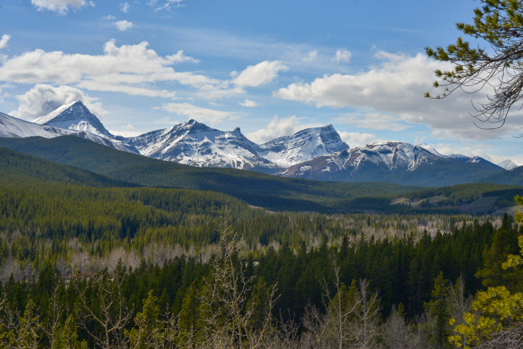
Spirits are high and the music is pumping as we head south on the Cowboy Trail. Mountains dominate the western horizon and cows dot the landscape. We’re excited to do a little road riding without cars, but our first objective is trail snacks from Longview Jerky Shop. After choosing our favorite flavors of beef jerky, we’re on the final stretch (30 minutes) to Highwood Junction.
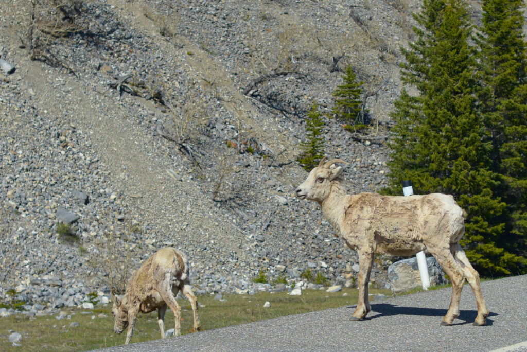
Longview Jerky Shop Bighorn sheep
Winding through the foothills that are growing bigger by the minute, we’re brought to a halt by bighorn sheep on the road. They take their time crossing, and I decide to follow suit and slow down. There are lots of animals around here! A few minutes later, we see a herd of deer, then some cows that have managed to get over the Texas gate.
Table of Contents
Bike and Hike to Cat Creek Falls
At Highwood Junction, we join the queue of cars on the side of the road and unload the bikes. It’s six kilometres to Cat Creek Day Use, with a couple big hills en route, but the kids (9 & 10) have no trouble at all. We see cyclists of all ages on the road, but not as many as we usually see on the north side of Highway 40 near King Creek Ridge. We stop briefly at Mount Armstrong Viewpoint to take in the views and read the sign, then cruise downhill (mostly) to Cat Creek Day Use.
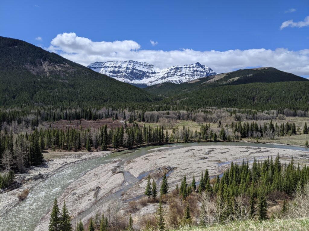
With picnic tables along the Highwood River, Cat Creek Day Use Area could be a destination on its own, but it’s worth hiking to the waterfall if you have time. It’s only 1.2 kilometres on a rolling dirt trail. The trailhead is located at the far end of the Day Use Area, on the right hand side. Although this popular trail sees a ton of hikers during the summer months, on our visit, we didn’t see a soul until we reached the falls! Spring (before the winter gate opens) is definitely the best time of year to hike here!
Things to do: Look for prairie crocuses (please don’t pick them!) on sunny slopes, read about the area’s vegetation (observe the transition from lodgepole pine to white spruce forest) and mining history (can you find a lump of coal?), and splash in the creek near the falls.
Go back the way you came. The return bike ride has more downhill, so it’s pretty quick. Make sure your kids know how to brake properly!
Highwood House Junction to Cat Creek Falls Day Use (Biking portion) At a Glance
- Distance: 6.1 km
- Elevation gain: Net 90 metres but there are a couple long climbs so it’s more like 200+ metres
- Parking: Along Highway 541 at the junction of AB-541 and AB-940 (Google Highwood House General Store for directions)
- When to go: Mid-May to June 14 is the best time to go, but it depends on how much snow has fallen. The road opens to vehicles on June 15.
- Road surface: paved
Cat Creek Interpretive Trail At a Glance
- Distance: 2.4 km round trip
- Elevation Gain: 90 metres
- Sports stroller friendly? No, the trail is too narrow.
- Trailhead: at the far (north) end of Cat Creek Day Use Area, on the right hand side.
Note: There are no bike racks at the trailhead, but there are lots of trees you can lock your bike to.
Take the trail across the highway (watch for speedy cyclists), then follow the interpretive signs to your destination. You’ll get occasional mountain views and cross a couple footbridges before reaching the 6-metre high Cat Creek Falls.
Take advantage of the brief window when the road is snow-free and car-free to bike Highway 40 to Cat Creek Day Use. Pack a picnic and enjoy lovely day use areas along the river – or plan to eat at Cat Creek Falls (note there are no picnic tables at the falls).
Related Posts
- Exploring the Cowboy Trail: Bar U Ranch National Historic Site and Chain Lakes Provincial Park are in the area
- Hiking Hailstone Butte, South Kananaskis
- Camping at Indian Graves Campground

