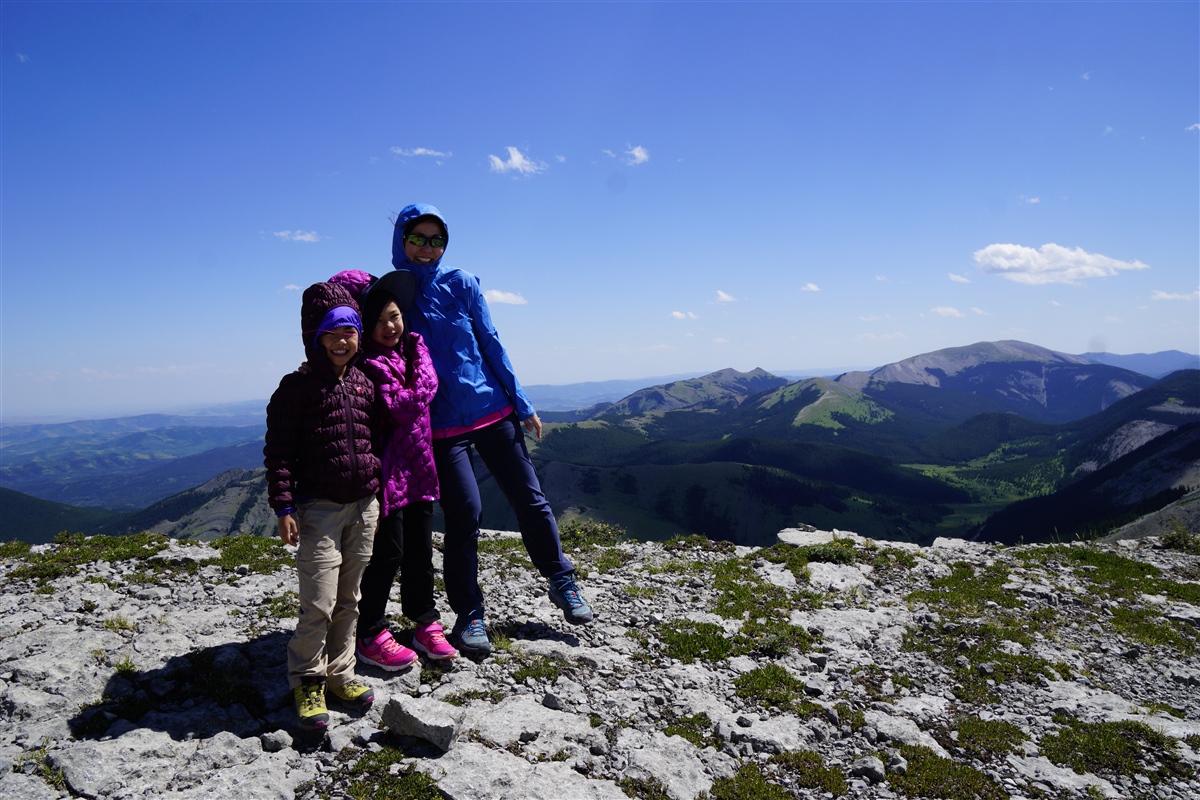
 |
| Hailstone Butte, Kananaskis |
Hiking Hailstone Butte
Park at The Hump, the pass on Highway 532 / Johnson Creek Trail (directions below). After crossing the road, you will find a well beaten path lined with lupines and sunbleached dead trees. As we hiked Hailstone Butte in late July, bighorn sheep patrolled the ridge above us while a few stragglers in the valley clattered to catch up to the herd.
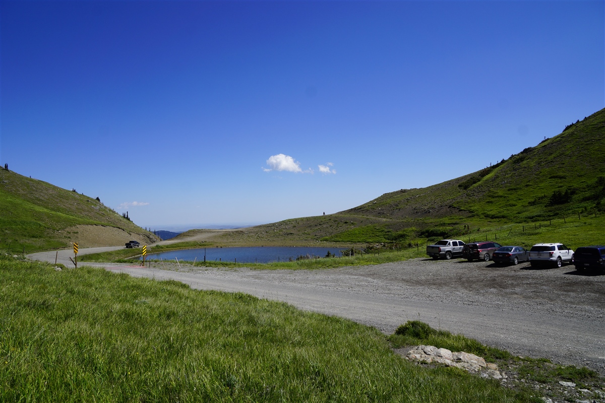 |
| The Hump – park here |
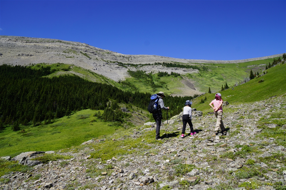 |
| Hailstone Butte Trail – your objective is to the right of the ridge in front of you |
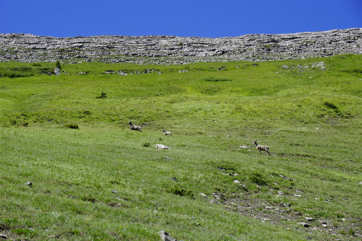 |
| Bighorn sheep on Hailstone Butte |
The trail runs parallel to the ridge, through flower-strewn meadow, to the north end of the ridge where you turn left and begin to climb. As it gets steeper, hike to the left of the rocky outcrop, mostly on the grass, or hike up on the right side then make your way left and pick your way through the cliff band. We ascended on climber’s right (more difficult) pausing every now and then to catch our breath (it’s quite steep!) and took the grassy way down.
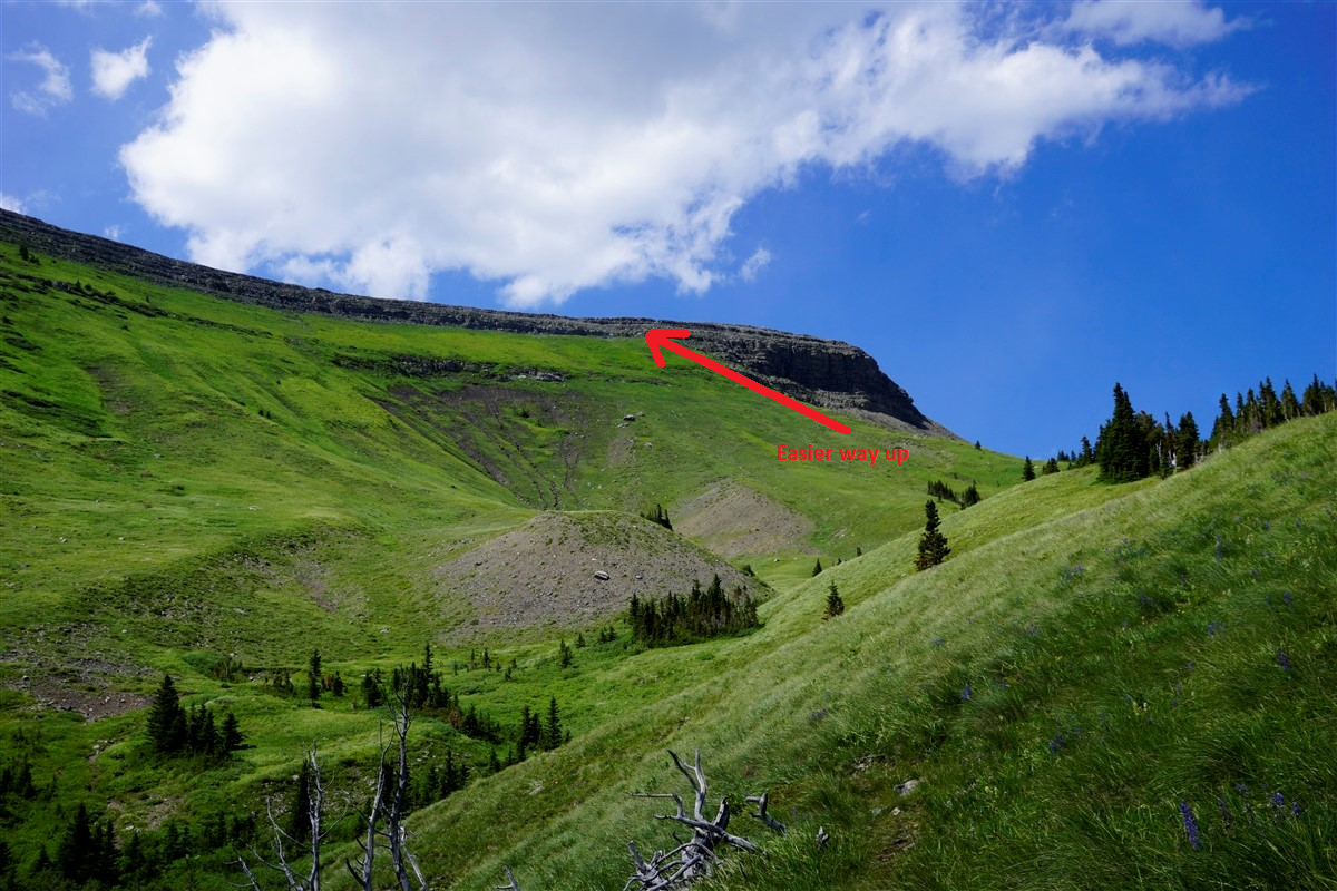 |
| Hailstone Butte Scramble Route |
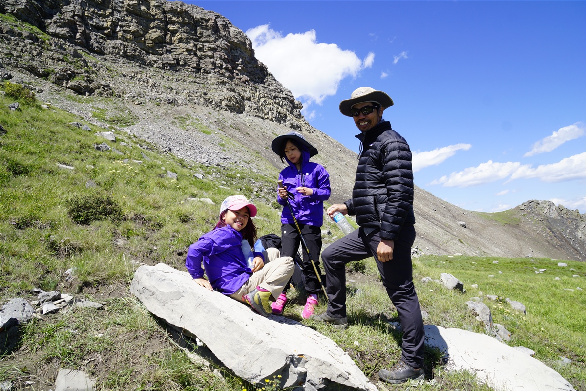 |
| Go left here and scramble over the cliff band |
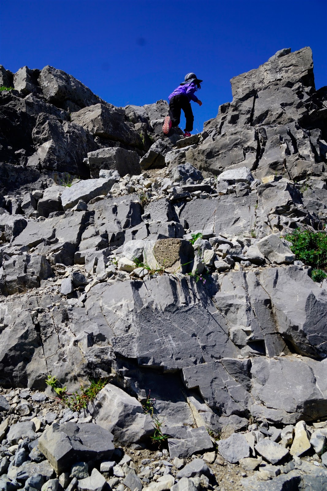 |
| Hailstone Butte Scramble |
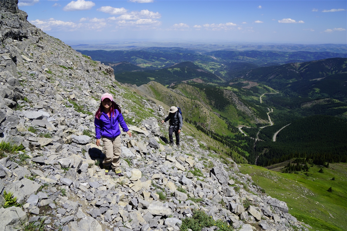 |
| Hailstone Butte Scramble – almost at the top! |
When you get to the top, hold on to your hat! It’s easy to see why Hailstone’s eastern neighbor is called Windy Peak. Plateau Mountain lies to the west – a destination for another day with unique geography – and to the northeast, you can make out Indian Graves Ridge. Stay back from the helicopter pad and lookout as it’s an active fire lookout.
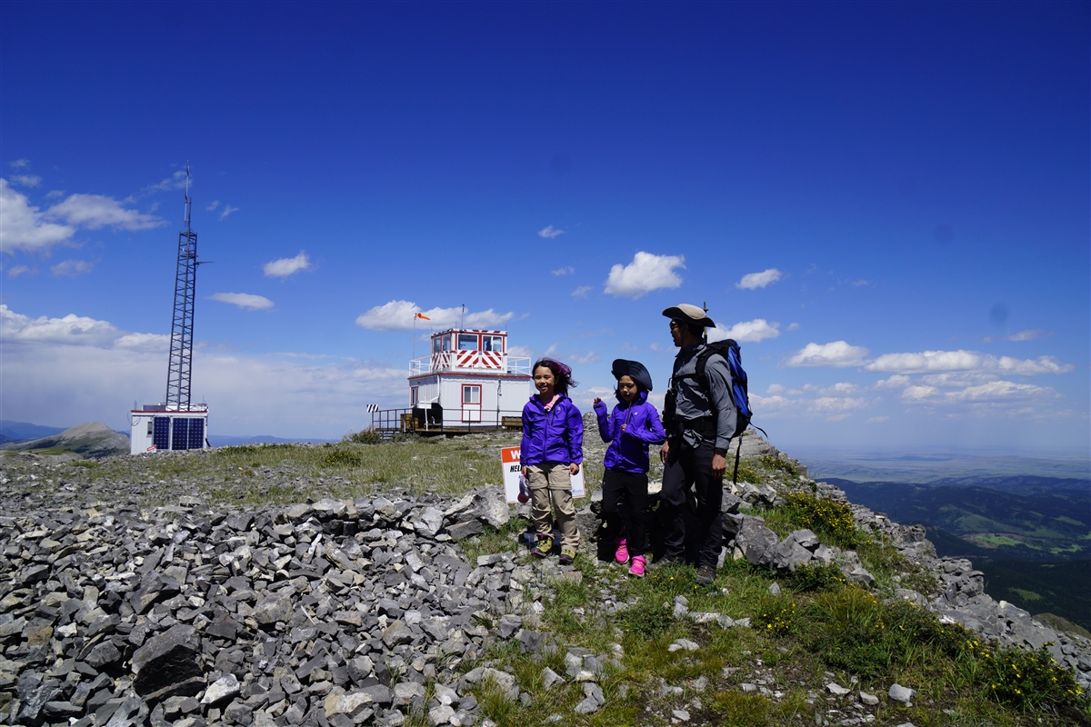 |
| Hailstone Butte Fire Lookout |
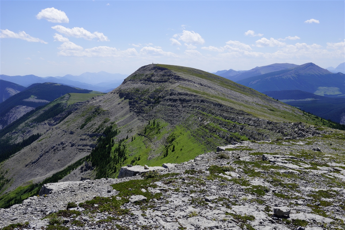 |
| Looking south from Hailstone Butte Fire Lookout |
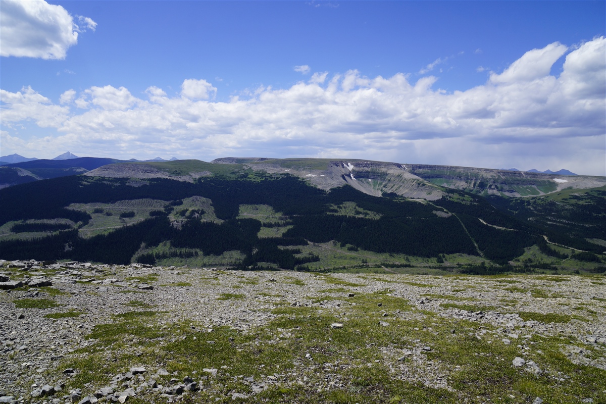 |
| Looking west to Plateau Mountain |
Return the way you came keeping to skier’s right for the easier way down (less downclimbing).
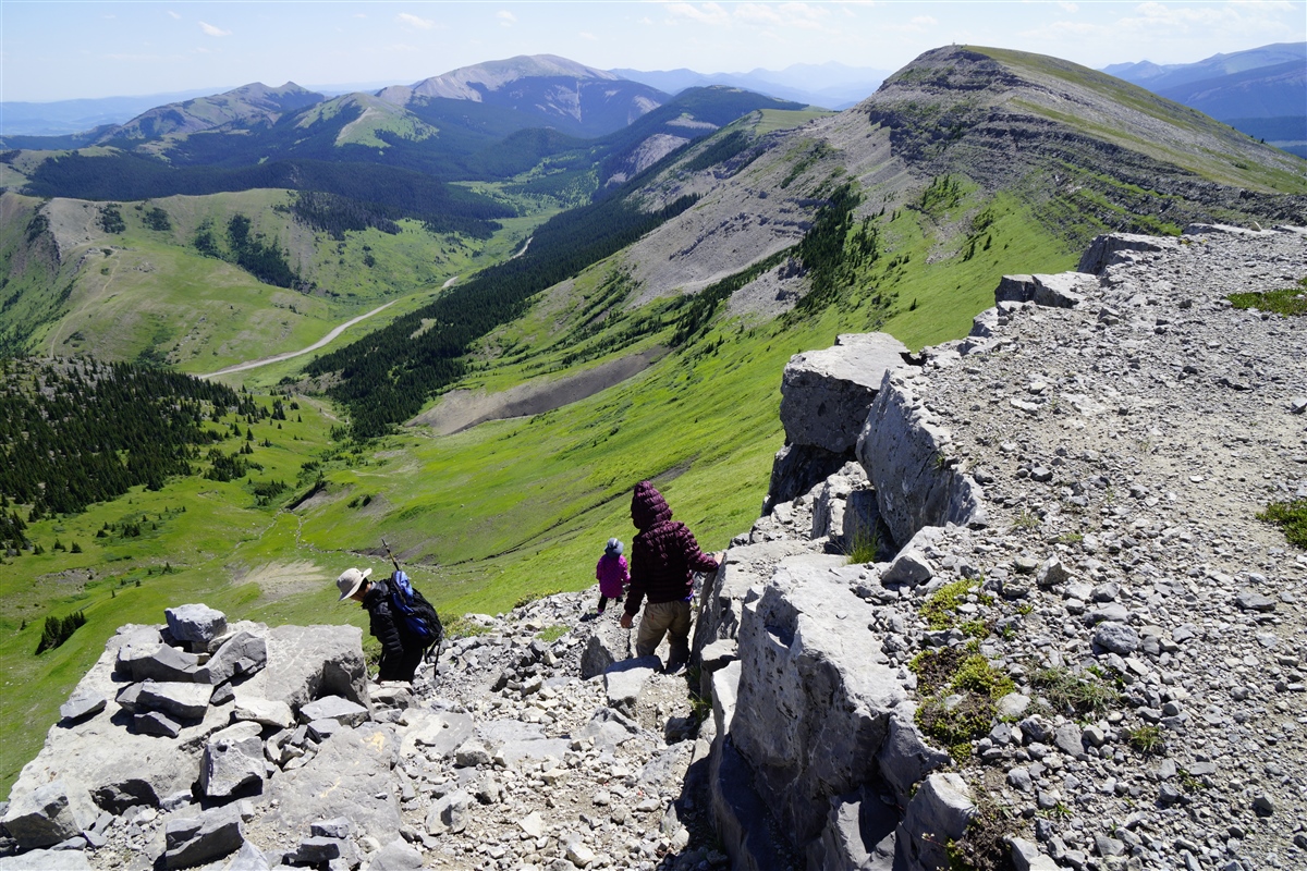 |
| Descending Hailstone Butte |
Hailstone Butte At a Glance
Distance: 3.2 km round trip
Elevation Gain: 330 m
Stroller Friendly? No.
Distance from Calgary: 144 km
Directions from Calgary: Take Hwy 2 south to AB-540. Go west (left) until you reach Hwy 22 and turn left (south). Turn right onto AB-532 (gravel road) and go southwest for 21.7 km to The Hump – a pass at the top of a steep hill. Note that Hwy 532 is closed from December 1 – April 30.
Parking: Park at the unmarked parking area at The Hump – on the left side of the road beside a small pond.
Trailhead: The unmarked trailhead is across the street. The path goes straight, then curves to the rights and parallels the ridge before going left and uphill.
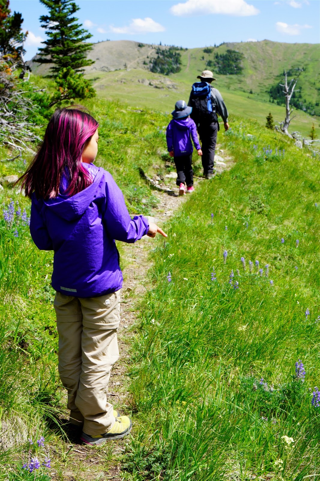 |
| Lupines line the Hailstone Butte Trail |
In the Area
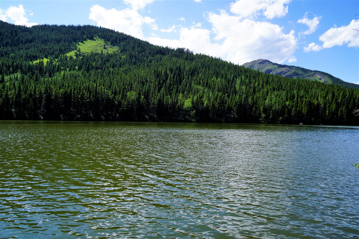 |
| Bear Pond, Kananaskis |
 |
| Pin me! |
What’s your favorite hike in south Kananaskis?


