Where to road ride without cars this spring in Banff and Kananaskis
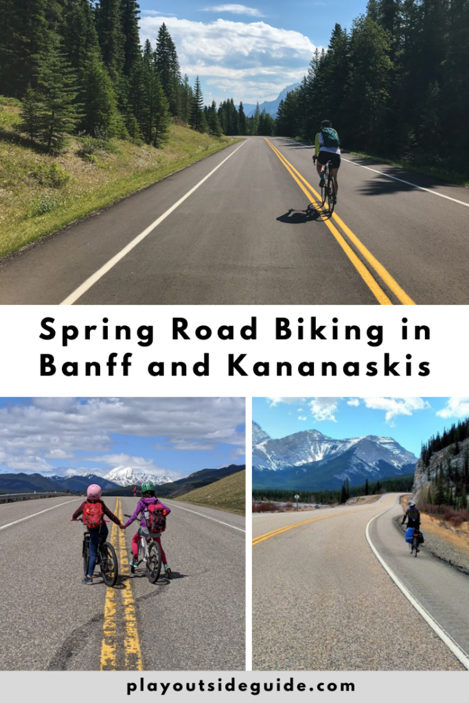
Every spring, we look forward to car-free biking on mountain roads. What’s the secret? Go before the winter gates open (or take advantage of road closures in Banff)! A few great road rides near Calgary include Bow Valley Park Road, Highway 66 from Elbow Falls to Forget-me-not Pond, Highway 40 to Highwood Pass, the Bow Valley Parkway, and Lake Minnewanka Loop. Since some of these rides are fairly long, we’ve included shorter options for families. Enjoy!
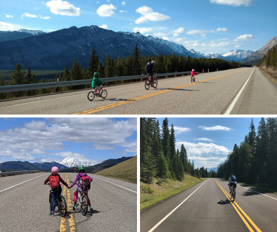
Table of Contents
Bow Valley Park Road (until April 30)
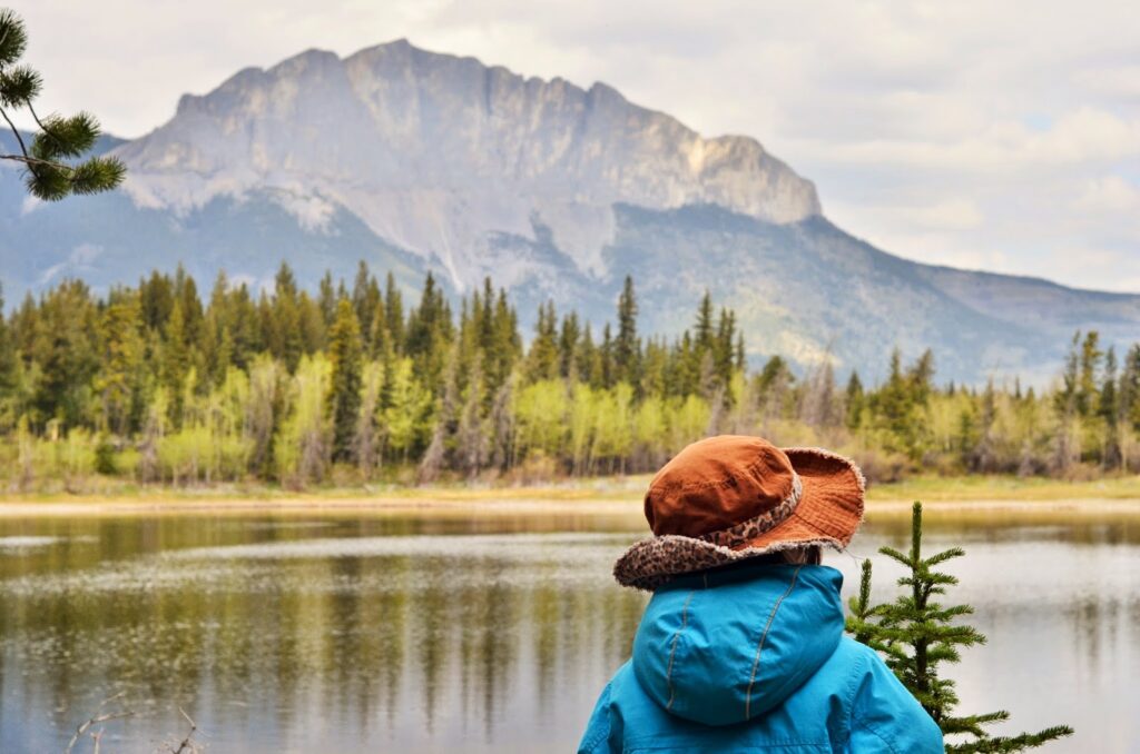
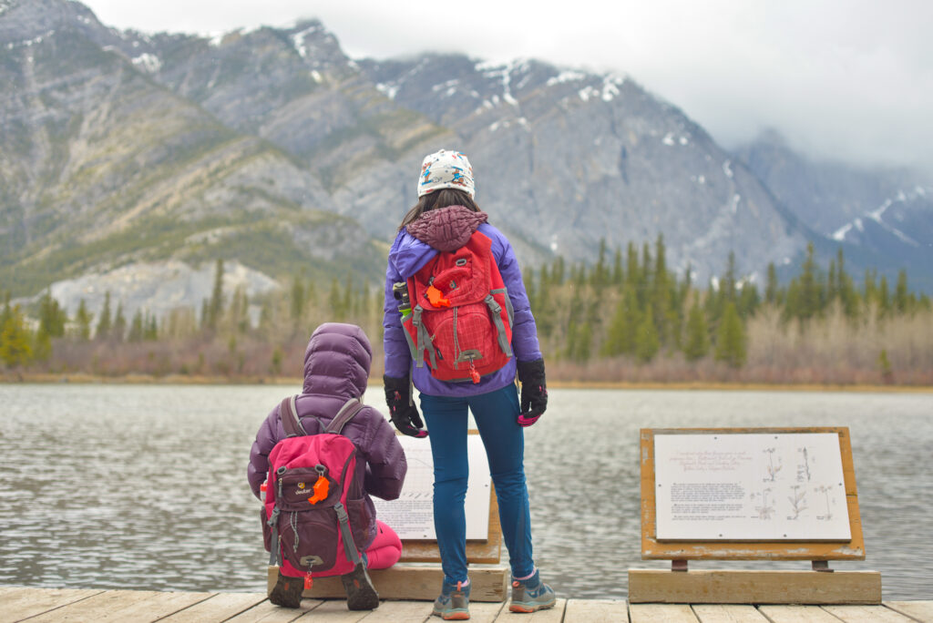
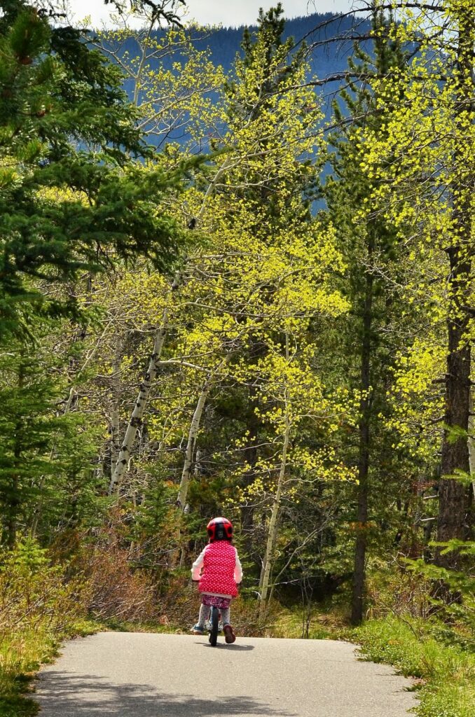
Bow Valley Provincial Park, one of our closest mountain parks, offers great spring hiking and biking. Here are a few short routes within the park that are perfect for families:
- Starting at Middle Lake, you can bike the road beyond the winter gate to Whitefish Day Use. Bring a bike lock, so you can hike Middle Lake or Many Springs Trail. 2.4 km one way, 36 m elevation loss.
- Bike the road from Middle Lake to Bow Valley Campground. 950 metres one way, 18 metres elevation loss.
- Bike the Bow Valley Bike Path from the Bow Valley Administration and Information Centre to Bow Valley Campground. 4.2 km one way, 85 m elevation gain. Click here for Google Map directions to the Administration Building.
Know Before You Go: There are picnic areas at Middle Lake and Whitefish Day Use, outhouses at every trailhead, and playgrounds at Bow Valley Campground and Elk Flats Group Use. Middle Lake is the most scenic picnic area with great views of Mount Yamnuska.
For more information on biking, hiking, and camping in the park, see our story: Bow Valley Provincial Park Camping and Recreation Guide.
Highway 66 from Elbow Falls to Forget-me-not Pond (until May 14th)
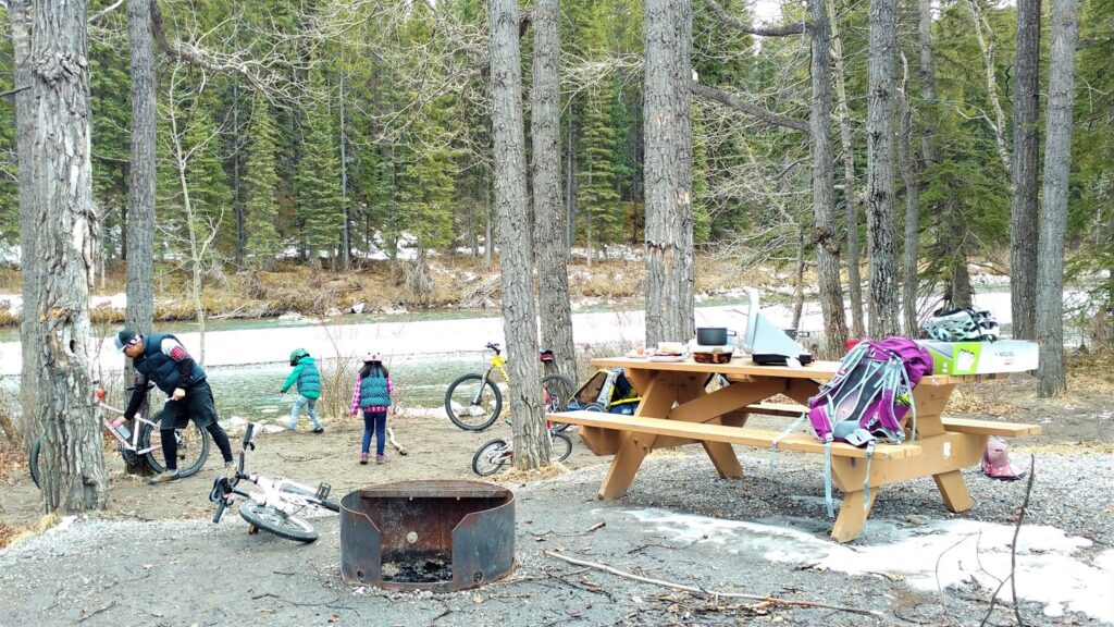
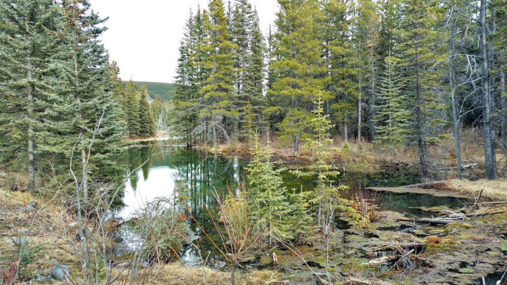
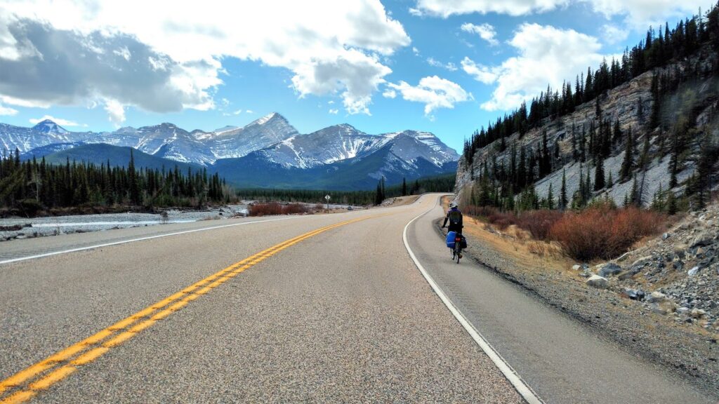
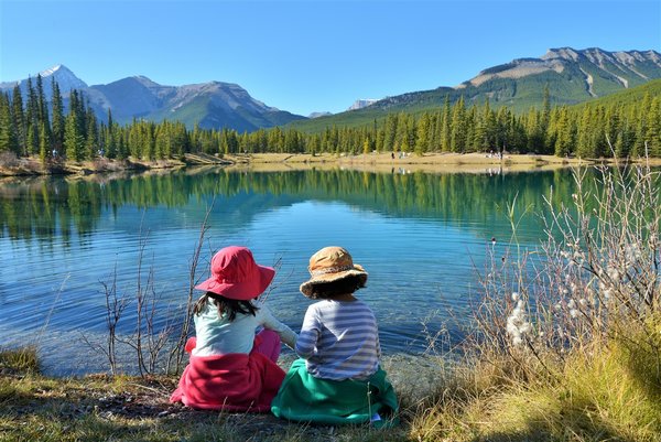
Highway 66 from Elbow Falls to Forget-me-not Pond is a popular road ride due to its proximity to Calgary and beautiful scenery. It’s only 20 kilometres round trip, but 350 metres elevation gain (225 metres on the way there, 125 metres on the way back) will give you a workout.
- 0 km Elbow Falls
- 2 km Beaver Flats Campground
- 5.1 km Rainy Summit (225 metres elevation gain)
- 10 km Forget-me-not Pond
If you’re biking with little kids, Beaver Flats Campground (2 km from Elbow Falls) is a good destination. Pack a picnic, eat at the campground, then hike the Beaver Flats interpretive trail (1.4 km one way).
For a longer ride, go over Rainy Summit to Forget-me-not Pond. Although it’s a big climb to Rainy Summit, the views of the Elbow Valley are so worth it! Descend to Cobble Flats and continue westward to the end of Highway 66. From here, you can turn left and take the gravel road a short ways to beautiful Forget-me-not Pond (2 km loop); or hike Sunrise Hill and Powder Puff (5.7 km round trip) or Powderface Ridge (4.8 km to ridge, 6.9 km to summit). Return the way you came.
For more info, see our story: Biking Highway 66 from Elbow Falls to Forget-me-not Pond.
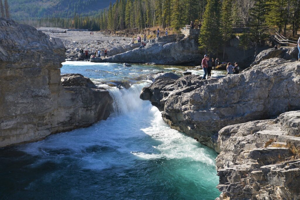
Don’t forget to check out Elbow Falls before you leave, then get an ice cream in Bragg Creek before you drive home!
Sheep River Road / Highway 546 to Sheep River Falls (until May 14th)
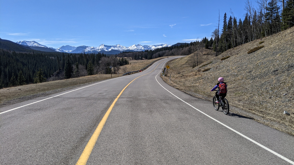
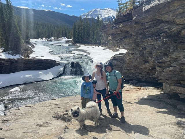
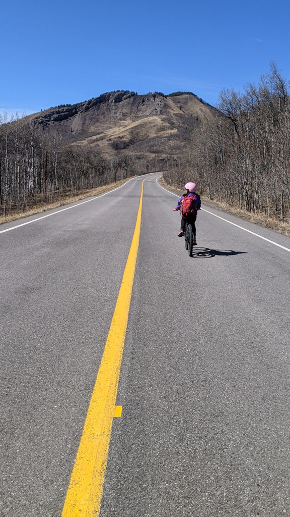
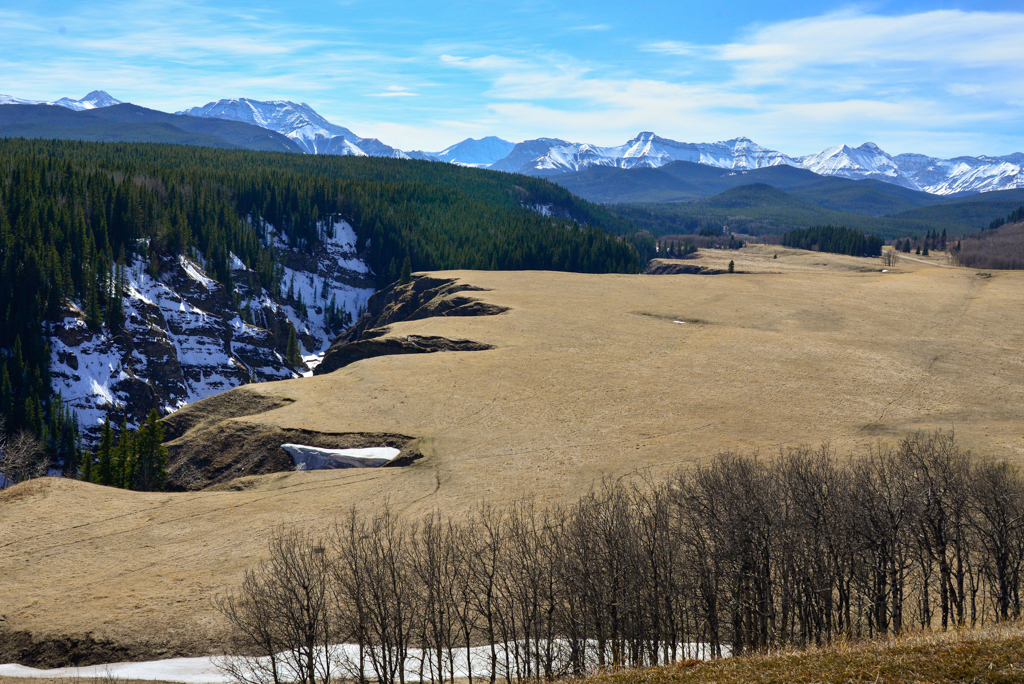
You can bike Sheep River Road from Sandy McNabb Campground to Sheep River Falls without cars until May 14th. It’s 15 kilometres to Sheep River Falls, but if you want a shorter ride, there are two scenic viewpoints with benches that are great picnic spots.
- 0 km Highway 546 Winter Gate (near Sandy McNabb Campground)
- 3.3 km Sheep River Viewpoint – look for unmarked pullout on left hand side of the road and park benches
- 7.5 km Bighorn Parking Lot (89 metres elevation gain) – take 200 metre Bighorn Sheep Lookout Trail to viewpoint
- 15 km Sheep River Falls (202 metres elevation gain/83 metres elevation loss from the winter gate)
Sheep River Road is a lot less steep than Highway 40 (north or south) and road dries off sooner, so you can do this one from mid to late April until May 14th. See our story Biking Sheep River Road (Highway 546) to Sheep River Falls for details.
Highway 40 from Peter Lougheed Provincial Park (until June 14th)
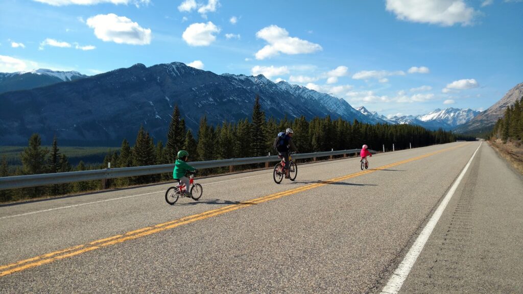
For a few sweet weeks per year, you can bike Highway 40 to Highwood Pass, the highest paved pass in Canada, without cars. While the north side offers a shorter approach than the Longview side, it’s a leg burner (really steep most of the way).
- 0 km King Greek Day Use
- 5 km Elpoca Viewpoint Day Use turnoff (130 metres elevation gain)
- Little Highwood Pass Day Use
- Rock Glacier Point of Interest (150 metres one way – do not do this trail if there is snow on the slope!)
- 17 km Highwood Pass (500 metres elevation gain from King Creek)
The mountain scenery is spectacular, however, and the chance of wildlife sightings is high! Pack an extra layer and windproof/waterproof later, lots of water and snacks, and bear spray. See our story The Ten Essentials for more recommendations on what to bring.
If you’re biking with kids, the Elpoca Viewpoint turnoff is a good destination (but we prefer Highwood House Junction to Cat Creek Falls – see below – for a family ride because it’s less steep and there’s a picnic area and interpretive trail).
Highway 40 from Highwood House Junction to Cat Creek Falls (until June 14th)
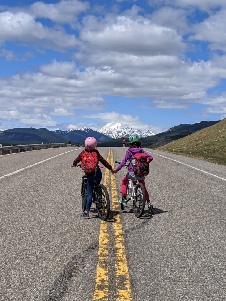
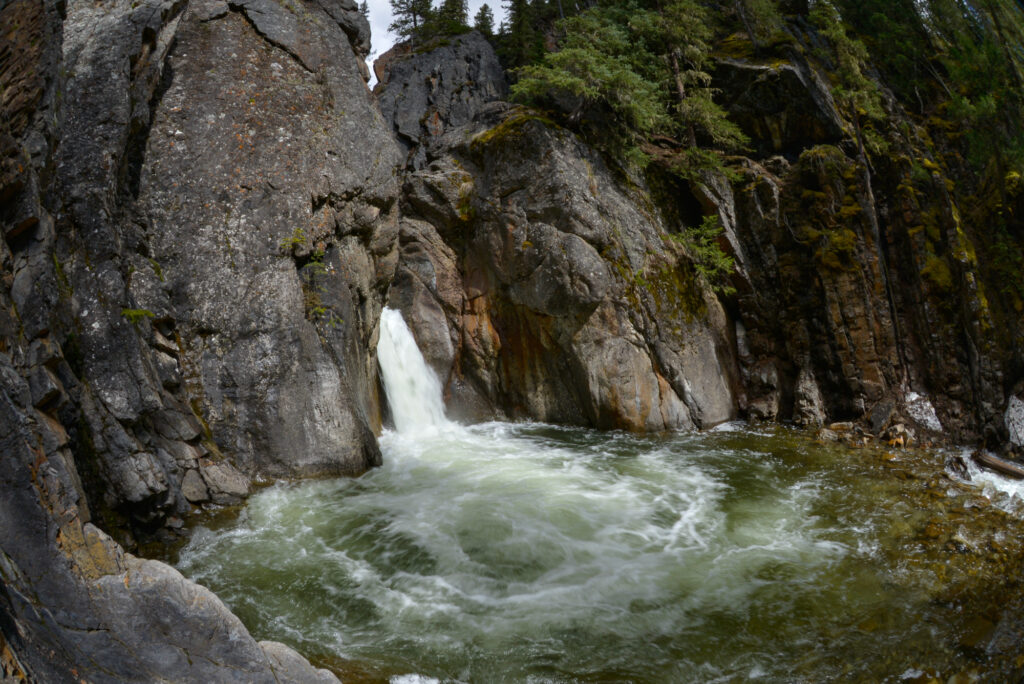
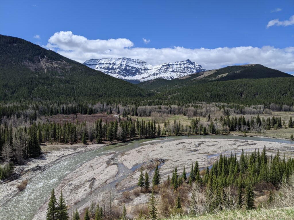
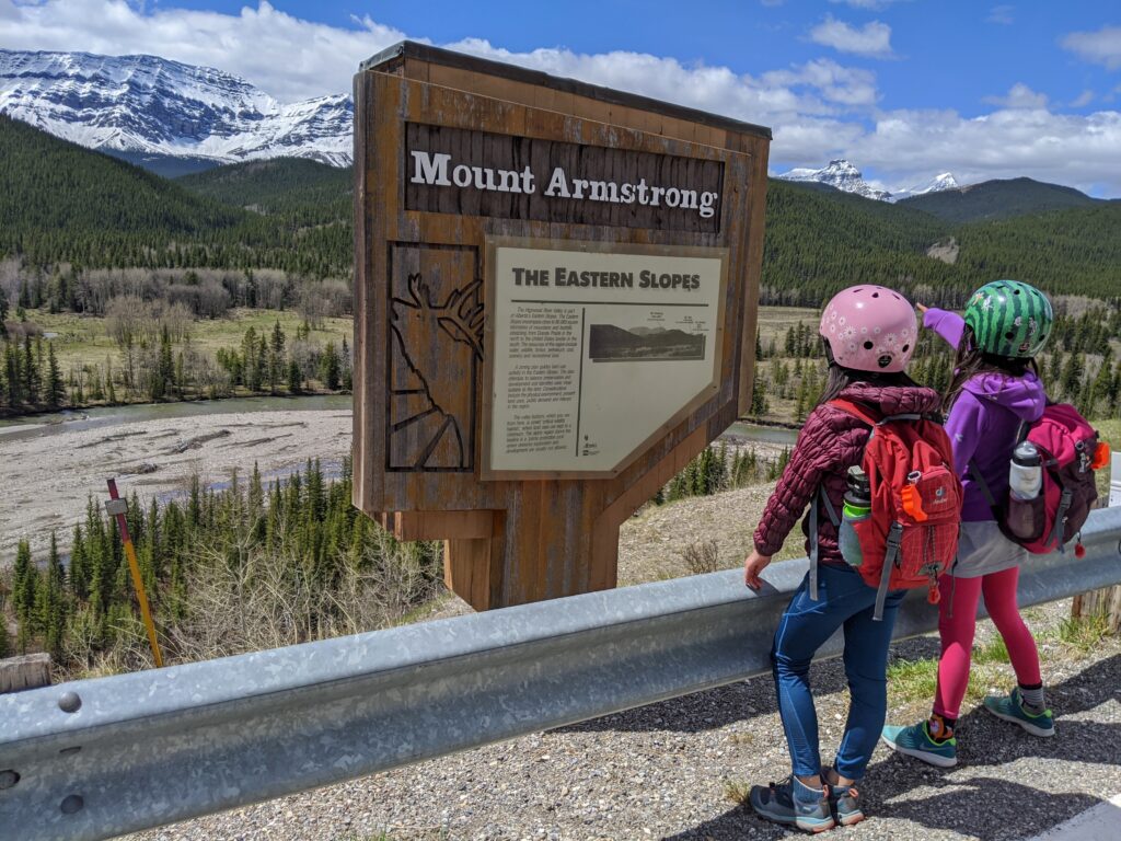
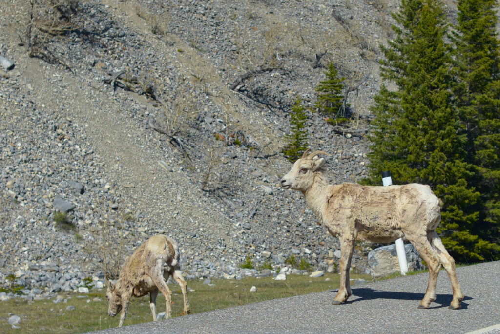
The south side of Highway 40 is a lot less steep than the north side. Start at Highwood House Junction and ride 6.1 kilometres to Cat Creek Falls Day Use, then hike to Cat Creek Falls (2.1 km round trip) or continue biking on the highway as long as your legs and conditions allow. It is 37 kilometres to Highwood Pass, the highest paved pass in Canada!
- 0 km Highwood House Junction
- 6.1 km Cat Creek Falls Day Use (90 metres elevation gain)
- 37 km Highwood Pass (691 metres elevation gain)
For details on the Cat Creek Falls bike and hike, see our story: Bike Highway 40 and Hike to Cat Creek Falls.
Lake Minnewanka Scenic Drive (until May)
13.1 km loop, 160 metres elevation gain
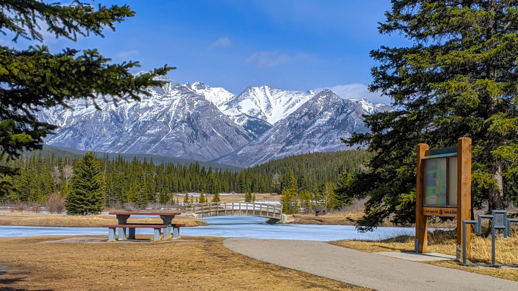
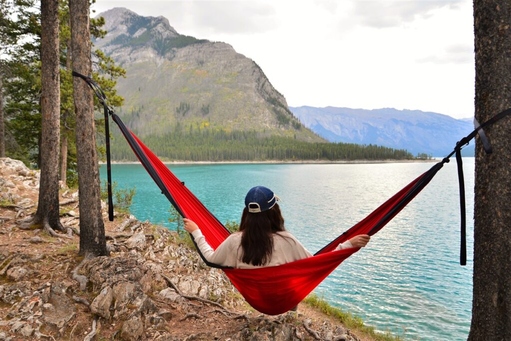
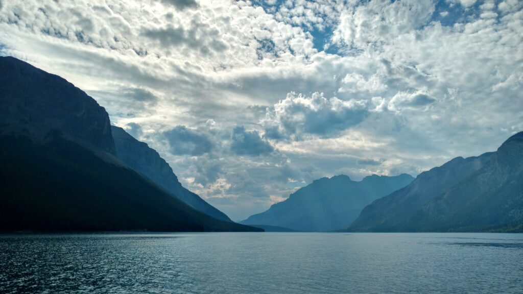
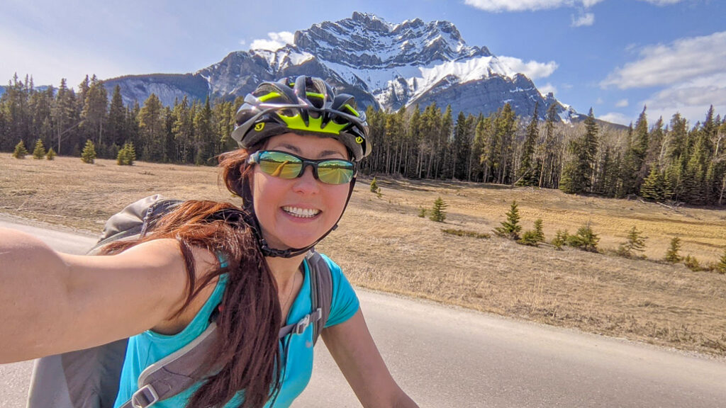
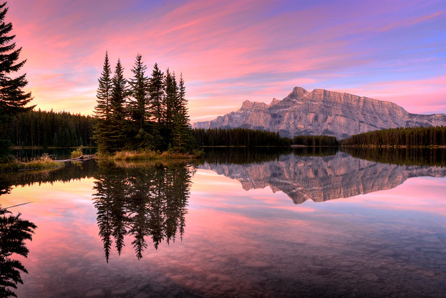
Lake Minnewanka Scenic Drive takes you from Cascade Ponds Day Use Area to iconic Two Jack Lake and Lake Minnewanka, The Lake of the Spirits. If you go before May, you can ride the west side of the loop without cars (just watch for parks vehicles)! Keep an eye our for elk and mountain sheep; the latter like to hang out near the Two Jack Lake viewpoints and Lake Minnewanka Causeway.
EAST SIDE OF LOOP (shared with vehicles – not recommended for kids)
- 0 km – Cascade Ponds
- 600 m – turnoff to Two Jack Lake
- 2.9 km – meadow
- 6.7 km – Two Jack Lake Viewpoint (100 metres elevation gain)
WEST SIDE OF LOOP (closed to vehicles November until May)
- 9.0 km – Lake Minnewanka (112 metres net / 160 metres total elevation gain from Cascade Ponds)
- 13.1 km – Cascade Ponds – Turn left before you reach the highway!
Bow Valley Parkway from Banff to Castle Junction (May 1 – June 25 & August 30-September 30, 2024)
30 kilometres, 150 metres elevation gain
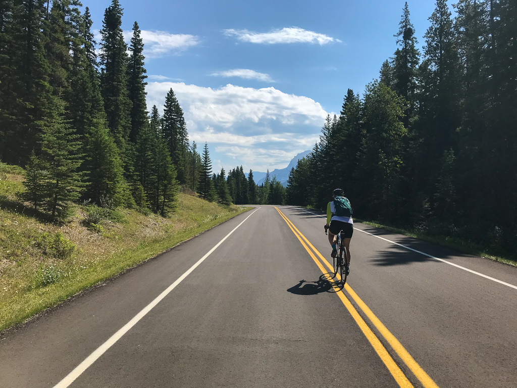
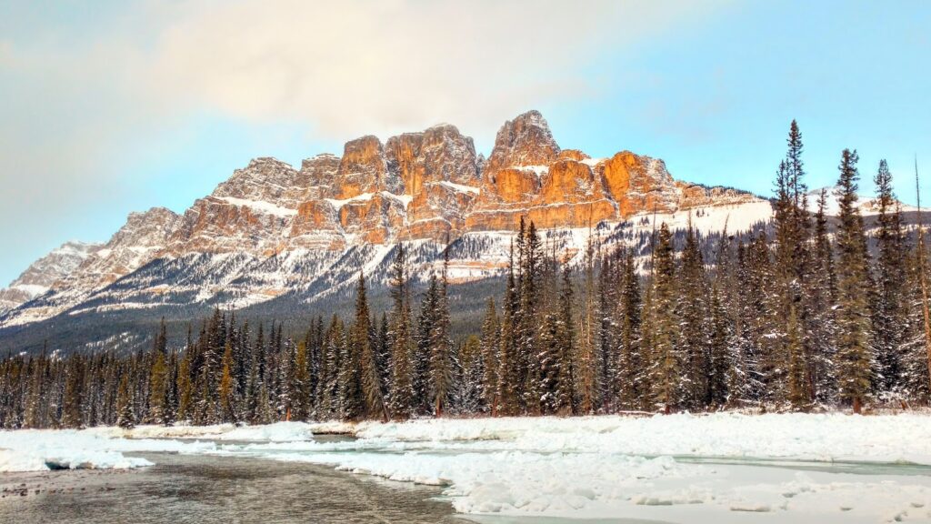
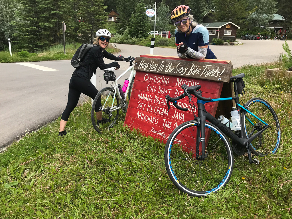
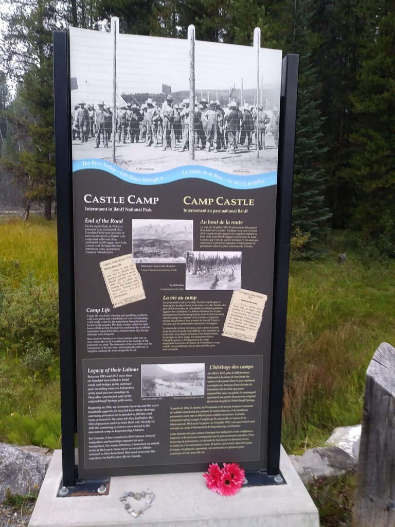
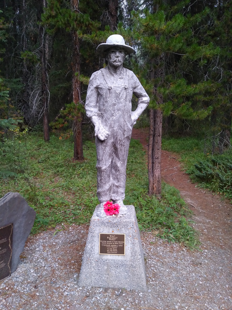
The east side of the Bow Valley Parkway will be closed to vehicles (except public transit and parks vehicles) from May 1 – June 25 & August 30 – September 30, 2024 so you can bike it from 8 am to 8 pm as soon as the snow melts. Please note there is a seasonal closure in effect for ALL TRAVEL (cyclists, walkers, vehicles) from 8 pm to 8 am daily to give wildlife and their young a break. With rolling terrain and awesome mountain views, this ride is a cyclist’s dream!
Expect to see deer, elk bighorn sheep, and bears. I saw 3 bears on the same day in June 2022 and 2 more between Banff and Canmore.
- 0 km Banff Train Station Public Parking
- 7.4 km East end of Bow Valley Parkway
- 24.4 km Johnston Canyon* (161 m elevation gain / 101 m elevation loss)
- 30.8 km Castle Junction (172 m elevation gain / 114 m elevation loss)
Directions: Park at the Banff Train Station Public Parking Lot and bike west on Railway Avenue to Mount Norquay Road. Turn right (north) on Mount Norquay Road, then turn left (west) on Vermilion Lakes Drive. Use caution as Vermilion Lakes Drive is shared with cars. At the end of Vermilion Lakes Drive, continue on the bike path to get onto Highway 1A / Bow Valley Parkway. Continue on Hwy 1A until you reach Johnston Canyon/Black Swift Bistro or Castle Junction. The latter has a convenience store if you need a cold drink and snack!
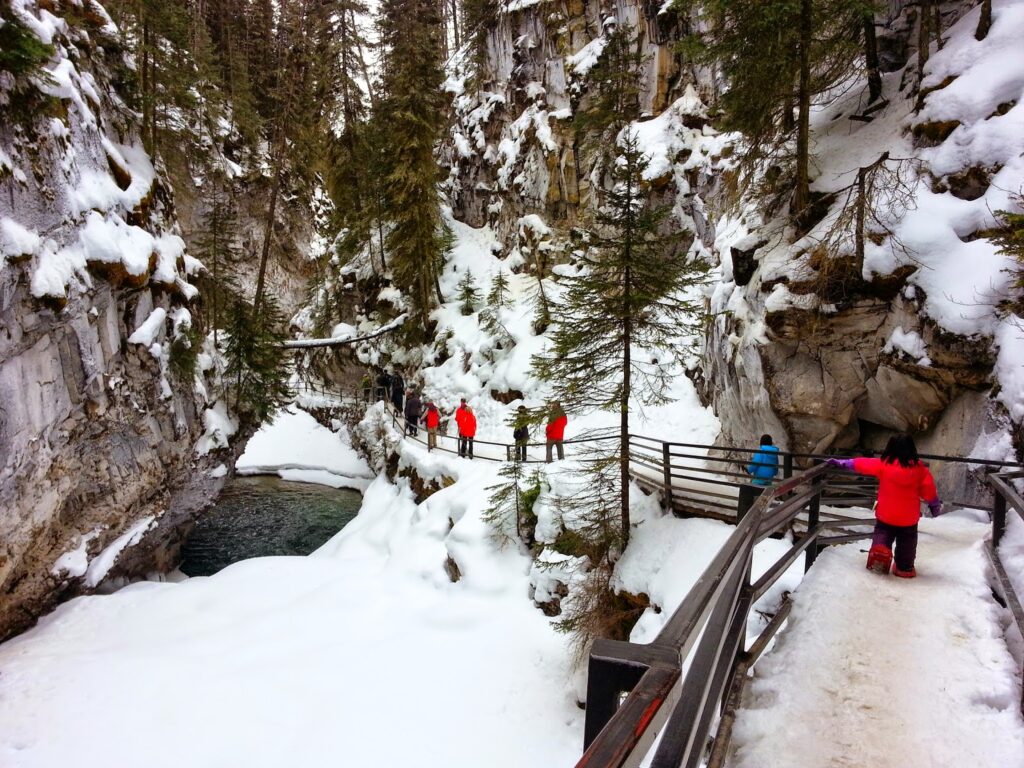
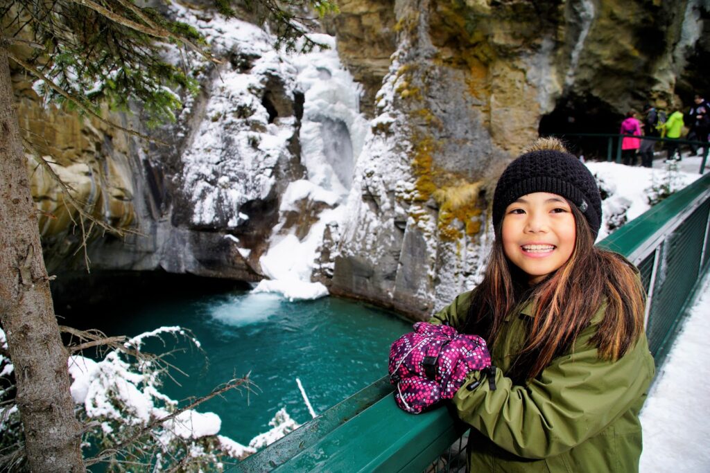
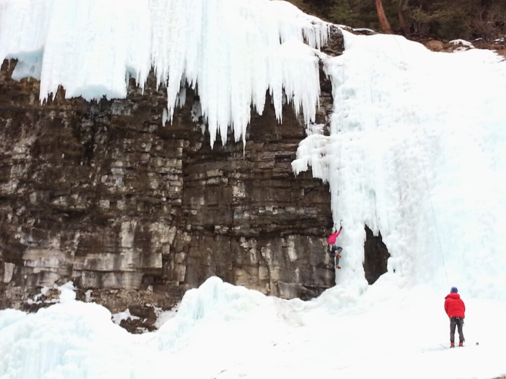
*Johnston Canyon is a fantastic hike that features several waterfalls. 1.2 km one way to Lower Falls, 2.4 km one way to Upper Falls. See our story: Hiking Johnston Canyon for more information.
For a less strenuous ride, rent an e-bike from Banff Cycle or sign up for an e-bike tour! Read about our experience in e-Bike the Bow Valley Parkway and Hike Johnston Canyon with Banff Cycle.
Know Before You Go
- A Parks Canada Discovery Pass / daily admission fee is required to stop in Banff National Park.
- A Kananaskis Conservation Pass is required to park in Kananaskis. Purchase your pass online from the Government of Alberta.
- Bears are active in spring. We saw FIVE in one day biking from Canmore to Johnston Canyon in 2022! Review our Bear Safety Tips and keep bear spray accessible.
- You are permitted to bike on these roads past the winter gates, but note that the day use areas in Kananaskis are not maintained while the winter gates are closed. Bring your own toilet paper and hand sanitizer, and pack out all trash.
What to Bring
Disclosure: This post includes affiliate links through which I may earn a small commission at no extra cost to you. Thank you for supporting our small family business!
Bring a hydration pack or water bottle, snacks, a down hoody or fleece, windproof-waterproof shell, cycling gloves, first aid kit, bike tube (get the right size for your tire), bike tools, and portable bike pump. A bike pannier rack and pannier bags are handy if you don’t want to carry a backpack.
You should also carry The Ten Essentials including: water, extra food, extra clothes, a headlamp, a GPS / satellite communicator / compass, and map of the area, sunscreen (this one is safe for babies), bug spray (this deet-free one contains 20% icaridin and will repel ticks), and bear spray. Carry bear spray in a Bear Cozy (holster that fits in your water bottle holder) or Scat Belt.
Related Posts
- Sundance Canyon Bike and Hike
- Stewart Canyon Trail, Lake Minnewanka
- Hiking Johnston Canyon
- Canyon Creek Ice Cave Bike and Hike
- 10 Fun Family Bike Rides in Calgary
- Biking the 11 Bridges to Wayne (near Drumheller)
- Four Southern Alberta Biking Destinations
- Biking from the World’s Biggest Dinosaur to the Royal Tyrrell Museum
- Biking Tunnel Bench Loop, Banff


1 comment
[…] Spring Road Biking in Banff and Kananaskis […]
Comments are closed.