The secret to success when biking with kids is finding easy paths that lead somewhere fun. Fortunately, in Calgary, we have several great options for family bike rides. These short and easy bike rides are perfect for beginners, have minimal elevation gain, and are mainly on paved city pathways. Best of all, they feature playgrounds, wading pools and spray parks, and snack spots! Enjoy!
Please note that all distances are round-trip unless otherwise specified.
Table of Contents
1. Calgary Zoo to St. Patrick’s Island: 5/6.7 km
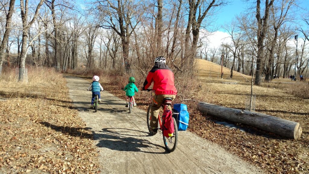
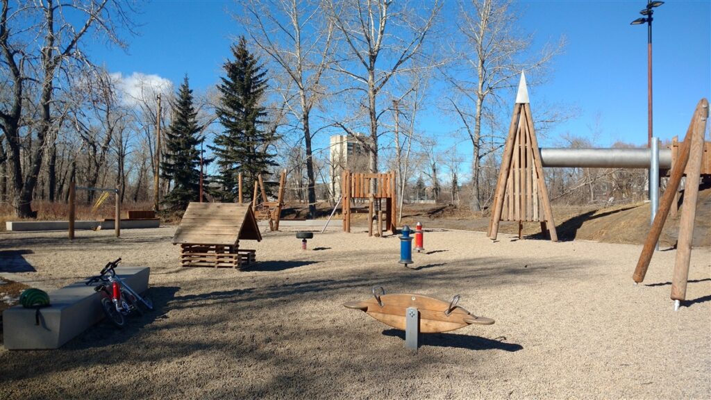
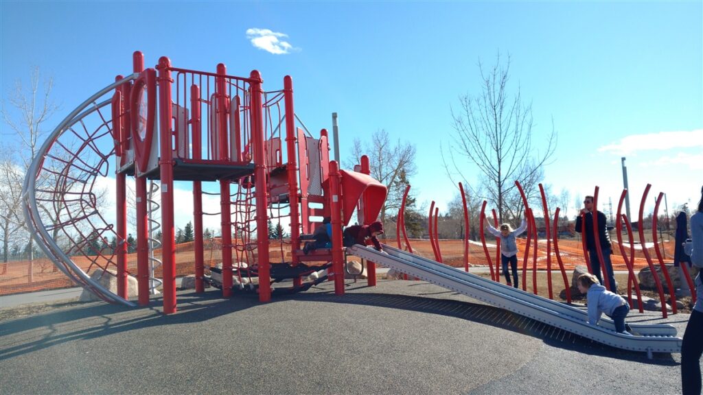
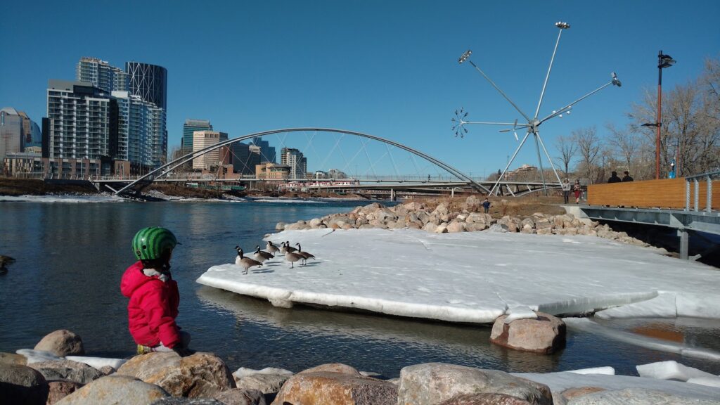
With a lagoon for wading, an amazing playground, grassy hill to climb and roll down, funky art installation (“Bloom”), and pretty bridge to cross, your kids won’t want to leave St Patrick’s Island Park!
My kids call this the “bridge route” as it goes along the river and passes under several bridges and overpasses. You only have to cross the street once, at Baines Bridge, and the path is not as heavily used as other sections of the Bow River Pathway, so it is quite safe and pleasant.
- 5 km Route: Starting from the zoo, get onto the Nose Creek Pathway and turn right (south). Follow the path under Memorial Drive and around the south side of the zoo. You will go under 2 zoo bridges. At Baines Bridge (the only crosswalk), cross to the other side of the bridge, and turn left. As soon as you get off the bridge, St Patrick’s Island Park is on your right. There is a covered picnic area near the parking lot, washrooms are to the right, and the playground and hill are just past the washrooms on the path to the right. Continue west to see Bloom and the George C. King Bridge. Come back the way you came.
- For a 6.7 km loop, cross George C. King bridge and return to the zoo via River Walk (left turn after the bridge)-Bow River Pathway-12 St SE-Zoo Rd NE-Baines Bridge-Bow River Pathway-Nose Creek Pathway. Be sure to check out the new playground on the south side of George C. King Bridge!
Snack spot: Get a coffee at Phil & Sebastian or pastry at Sidewalk Citizen Bakery in the nearby Simmon’s Building.
2. Pearce Estate Park to Nellie Breen Park: 2.4 km
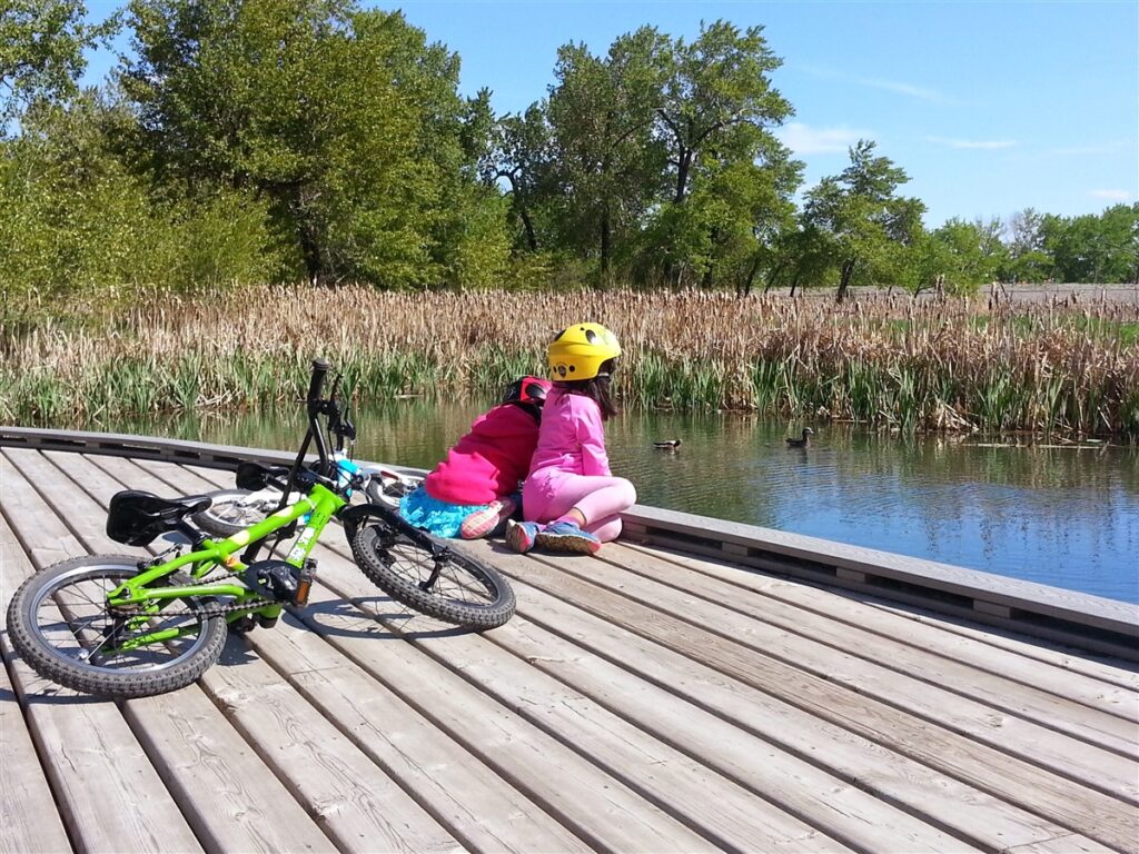
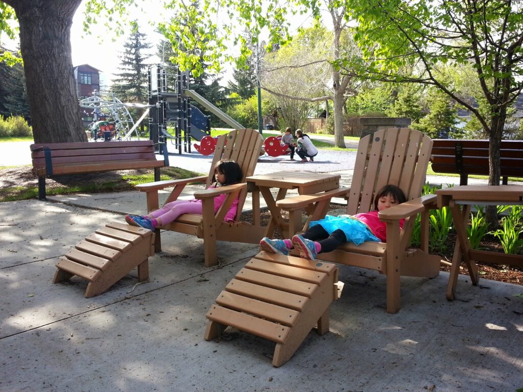
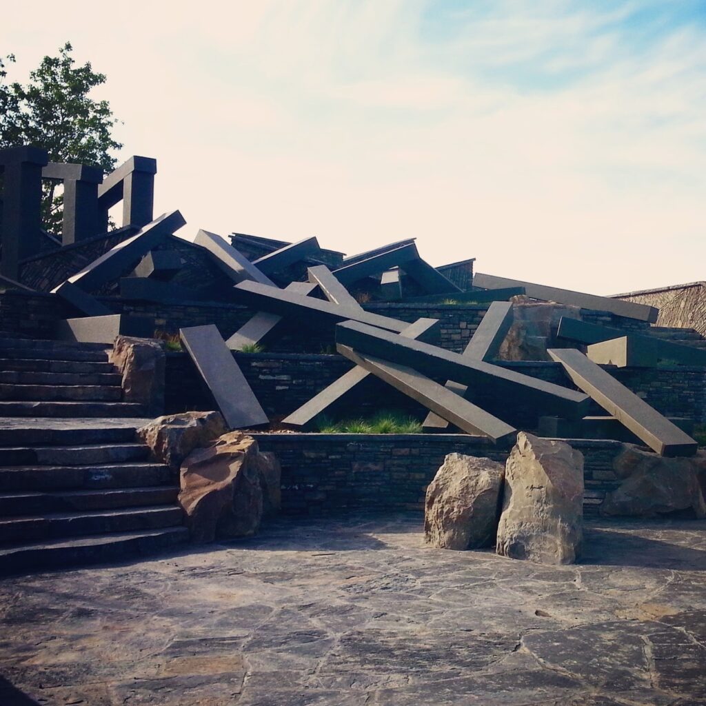
Experience wetlands, train watching, birding, a river ride, art installation, and playgrounds. Combine routes 2 & 3 (below) for a longer ride!
- Route: Explore Pearce Estate Park, then get on to the Bow River Pathway. You will pass Bow Habitat Station on the left (otherwise you’re going the wrong way!). Continue on the pathway until you reach a residential area. Turn left onto 15 St SE. Take your 2nd left and Nellie Breen Park will be 2 blocks ahead on the left. Although not the biggest playground, this is one of my kids’ favorite places to play. The only thing missing is washrooms, so be sure to visit the washrooms at Pearce Park before you leave! “River Passage” at Harvie Rapids is a worthwhile detour on your way there or back. Just be sure to keep kids well back from the rapids.
Snack spot: We always grab lunch at Spolumbo’s on the way home. Best subs ever!
3. Pearce Estate Park to Inglewood Bird Sanctuary: 3 km
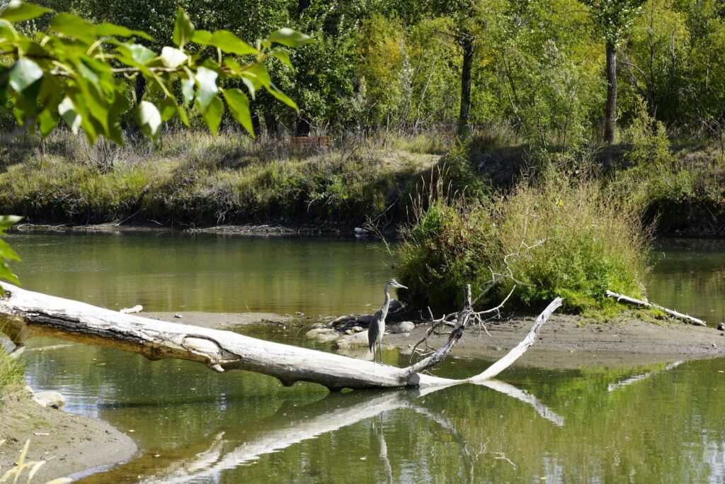
Do a little bird watching and visit two playgrounds on this fun bike route . Combine routes 2 (above) & 3 for a longer ride!
- Route: Head in the opposite direction on the Bow River Pathway (south) until you reach 9 Ave SE. Turn left and the Inglewood Bird Sanctuary will be a short ways ahead on the right. There are several paths to explore (on foot, bring a bike lock) and beautiful heritage buildings. Bring binoculars so you can birdwatch! For extra fun, download a birding app so you can easily identify the birds and “talk” to them. Detailed instructions on using the Merlin Bird ID app (free from Cornell University) are here.
Washrooms at Pearce Estate Park and Inglewood Bird Sanctuary (seasonal hours).
For more information, see our story: Exploring Inglewood by Bike.
4. Baker Park to Bowness Park: 5.6 km
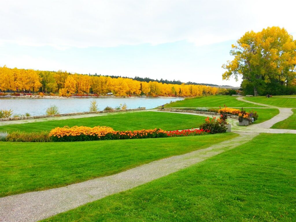
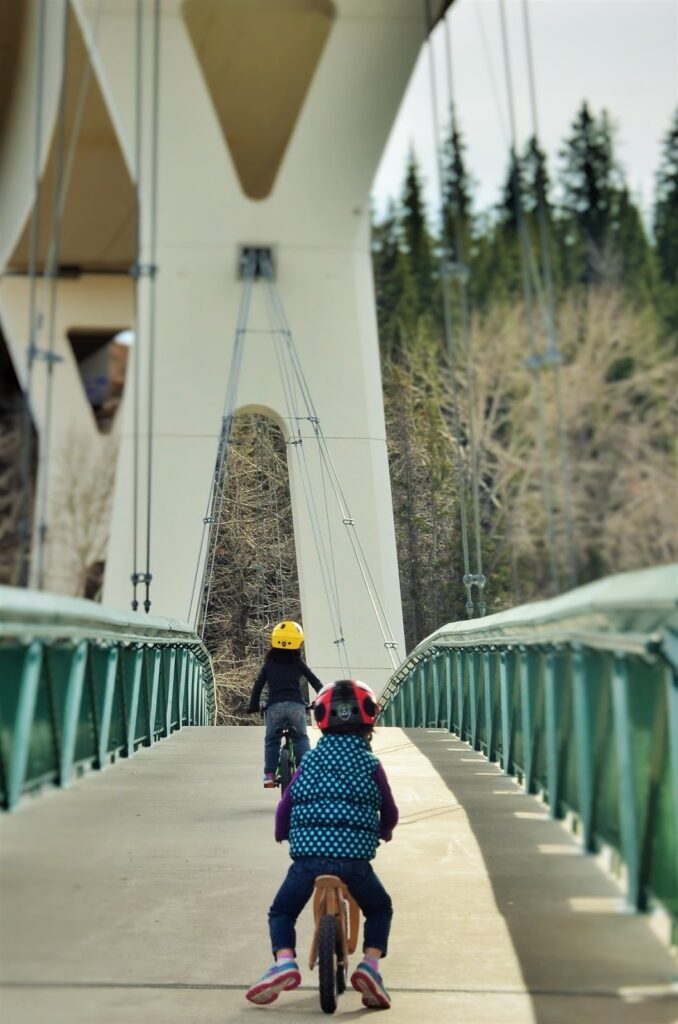
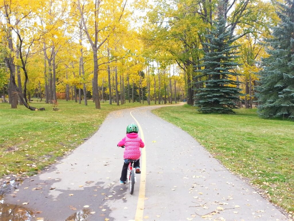
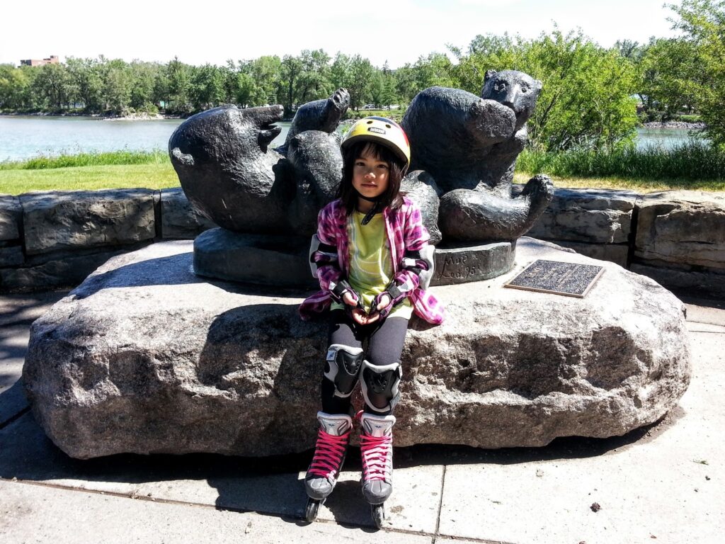
Enjoy flowers at the Sun Bowl, disc golf, picnicking*, wading, paddling, and playgrounds! Kids will enjoy the bear sculptures and big bridge too.
5.6 km Route: Park in the main parking lot at Baker Park and head towards the river. At the Sun Bowl, turn right onto the Bow River Pathway** and follow the path across the Stoney Trail Bridge. Turn left and take the paved path on the left or the dirt path on the right. The second (newer) playground is usually our turnaround point and we come back the way we came. To make a loop and reduce the distance a bit, stay left on the paved path then turn left on 85 St (bridge), but note that you will have to ride on the side of the road across the bridge. In summer, continue past the playground (east) on the right fork of the paved path to the:
- Bowness Lagoon – Rent boats from the Boat House in summer, or bring your own. In winter, you can skate on the lagoon!
- Seasons of Bowness Park Café & restaurant has ice cream, sandwiches, and great coffee! Lots more options from their fully-licensed restaurant.
- Wading pool – See Calgary Parks for hours.
*Bowness Park has several picnic sites and shelters which are reservable through Calgary Parks. Reservations recommended on weekends. **There is a fun disc golf course at Baker Park (northwest of the Sun Bowl)! Bring your own discs.
5. Calgary Curling Club to 10th St NW: 4.5 km
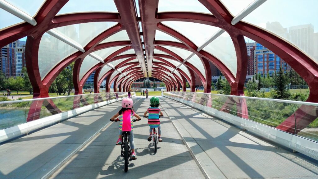
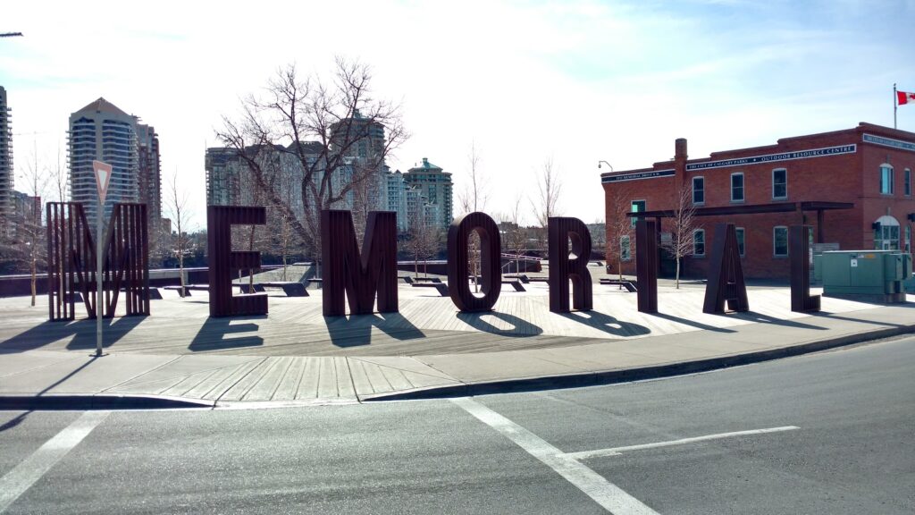
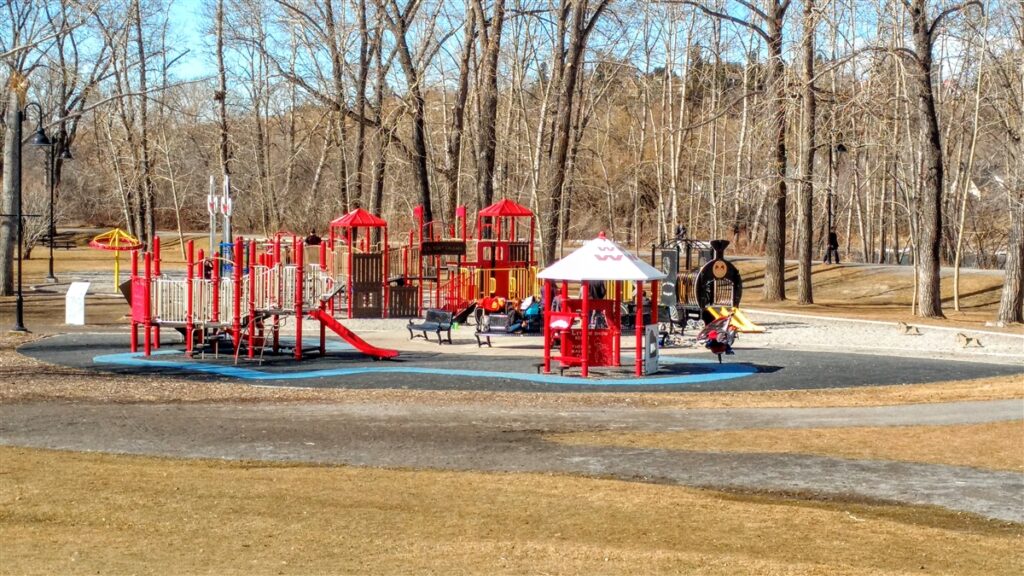
Visit several Calgary Landmarks including the Peace Bridge, Poppy Plaza (war memorial), Eau Claire Market & Prince’s Island Park. The playground at Prince’s Island Park is one of the best in the city & the splash park/wading pool at Eau Claire is a lot of fun too!
Route: From the public pay lot east of the Calgary Curling Club, take the overpass over Memorial Drive and turn right onto the Bow River Pathway. Stay on the north side of the river. At 10th Street, take the underpass and explore Poppy Plaza on the other side. Come back the way you came, and cross the Peace Bridge. Be sure to stay in the middle lane (bike lane) on the bridge! Stay left when you get off the bridge and continue on the paved path until you reach Eau Claire Market (shopping, dining, washrooms, splash park/wading pool); it will be on your right. Turn left and cross the bridge to Prince’s Island. Here you have many options – play frisbee, go to the playground, watch the ducks, throw rocks in the river, walk an interpretive trail, go to River Cafe – but if you must head back, continue straight and you will be back on the Memorial Dr overpass next to the parking lot.Public washrooms are available at Eau Claire Market (outside by the windmill and inside by the food court), and below River Cafe.
6. Confederation Park: 1.3-2.8 km
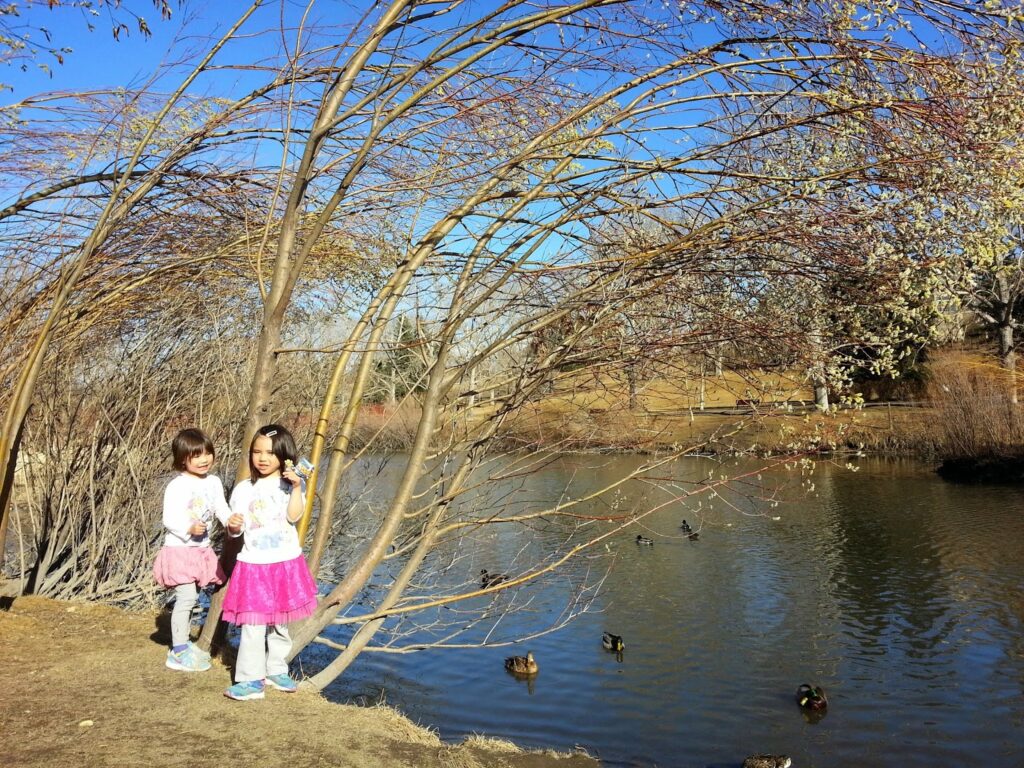
Confederation Park is a favorite for its beautiful setting and landscaping. In summer, you can count on several parties taking wedding photos here. Large towering trees in the coulee, a meandering path, and cute bridge over the pond outlet make for a scenic stroll or bike ride.
Starting from Rosemont Community Centre, you have a couple options:
- 1.5 km return to the playground: Take the 10 St underpass and follow the path to the northeast. Stay left to access the washrooms in the parks building (seasonal hours). Stay to the right to get to the playground.
- 1.3 km return to far end of the pond: Go straight. At the first fork in the path, stay right. Continue around the pond to reach a good duck viewing spot. Kids will enjoy biking ’round and ’round the pond. (Note: There is a new “Please do not feed waterfowl” sign at the pond.)
Combine both loops for a longer outing!
7. Edworthy Park to Shouldice Playground: 5.2 km
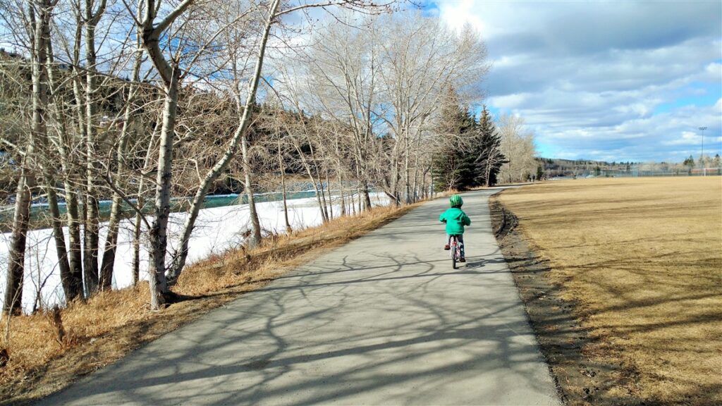
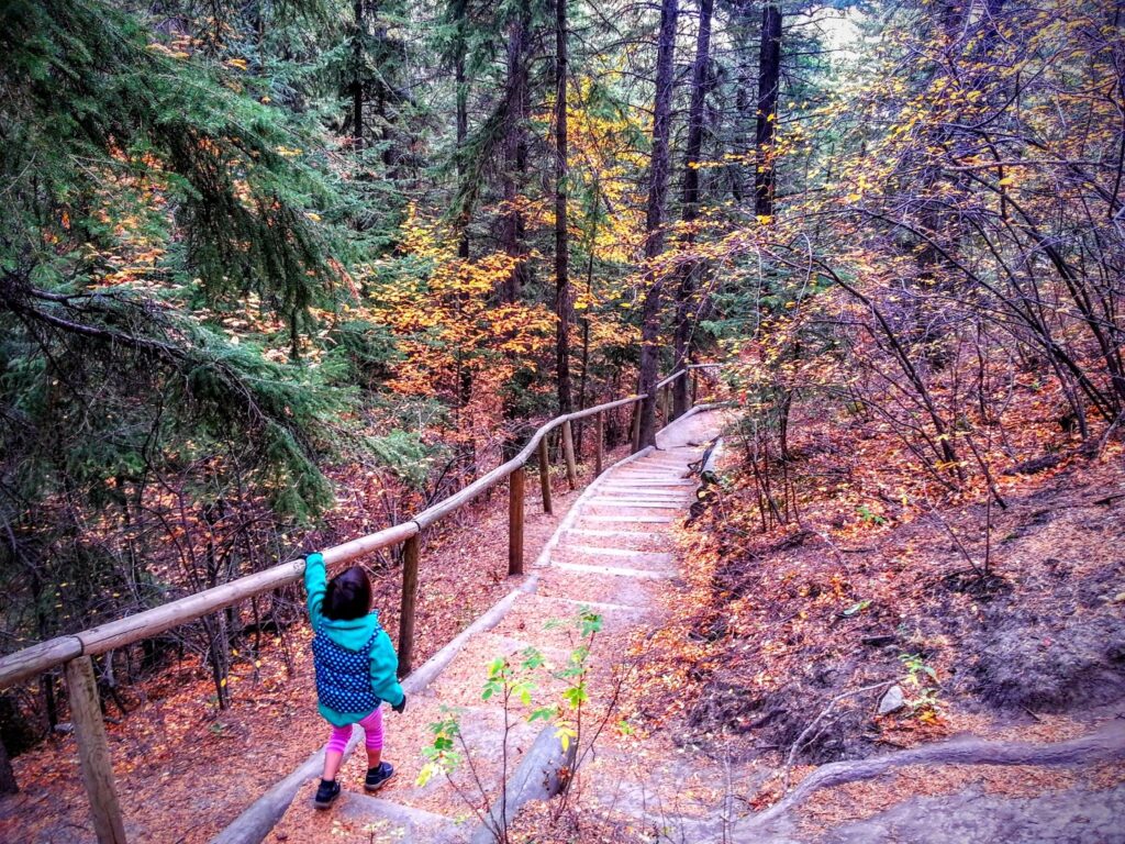
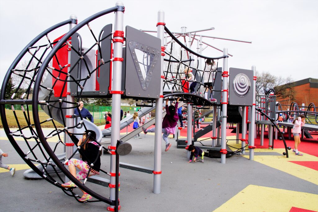
This river ride takes you from a park full of playgrounds to another playground. Play at Edworthy Park’s gravel beach, then get an ice cream at Angel’s Cafe. Note: This route requires riding on the side of the road for about 500 metres each way (but 2 blocks can be bypassed on a walking trail and 350 m is on a quiet gravel road).
5.2 km Route: Starting from Angel’s Cappuccino and Ice Cream at Edworthy Park, go west on the Bow River Pathway. After you pass a clinic and some condos, you’ll have to ride on the side of the road or sidewalk for a couple blocks, but if I’m with the kids and it’s midweek and quiet, I usually just continue on the walking path for 2 blocks where it rejoins with the bike path. You’ll pass several football/soccer fields. At the gravel road (13 Ave), turn left. Continue straight for 350 metres. Rejoin the path on the right and go under Hwy 1. The Shouldice Park playground is 250 m beyond the underpass and on your right. For more information on Shouldice Park and Playground, see this post by Calgary Playground Review.
8. Confluence Park (aka West Nose Creek Park): 4.5 km
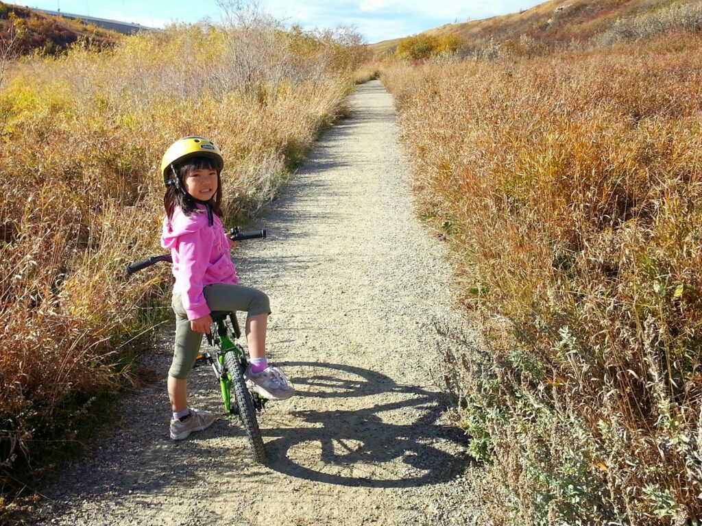
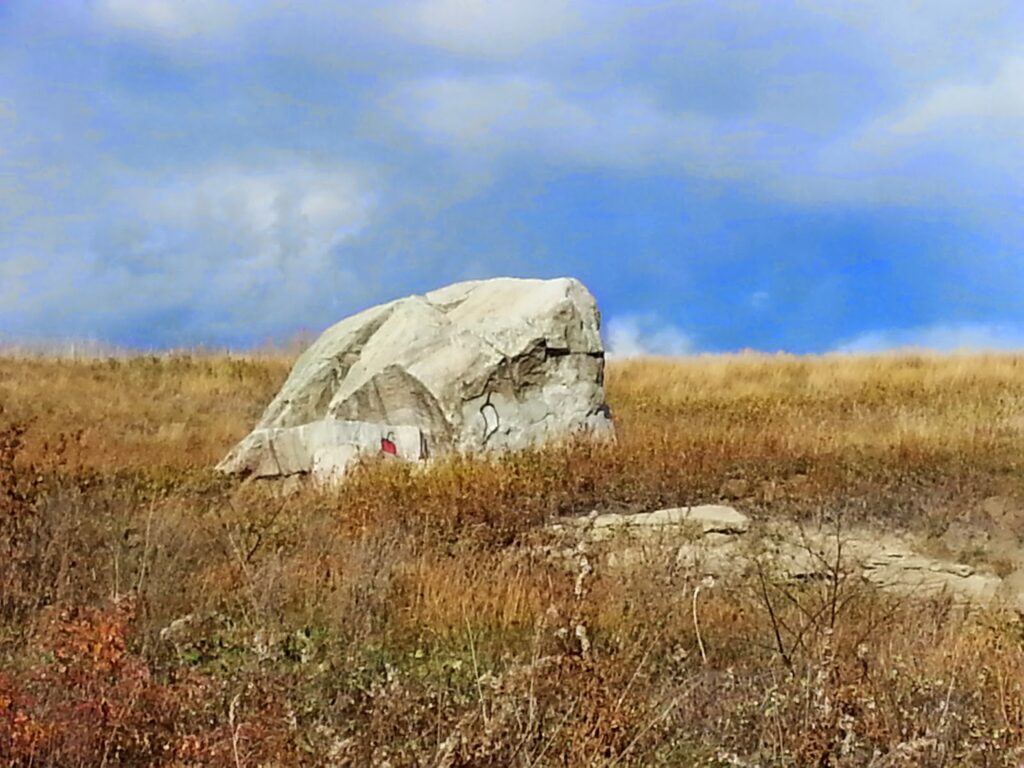
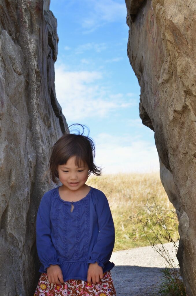
Take your picture with Split Rock, a large glacial erratic,and see native prairie plants in a rich riparian zone on this short loop.
Route: Whether you take the paved trail or the gravel trail, you will arrive at Split Rock after 500 metres. The lower dirt trail is prettier and allows you to cross several small bridges over the meandering creek, but it may be mucky in the spring. In summer, enjoy the unique vegetation along the creek. Fall colors are pretty here too. For more details, please see this post. It’s possible to go much further along the Nose Creek Pathway, but the trail is hilly to the north and northwest, so it’s not ideal for beginning riders.
Snack spot: Grab a bubble tea from the kiosk at Harvest Hills T&T Supermarket.
9. South Glenmore Park to Weaselhead: 2.8 – 4 km
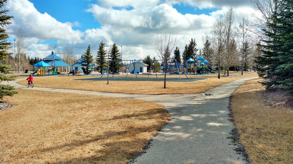
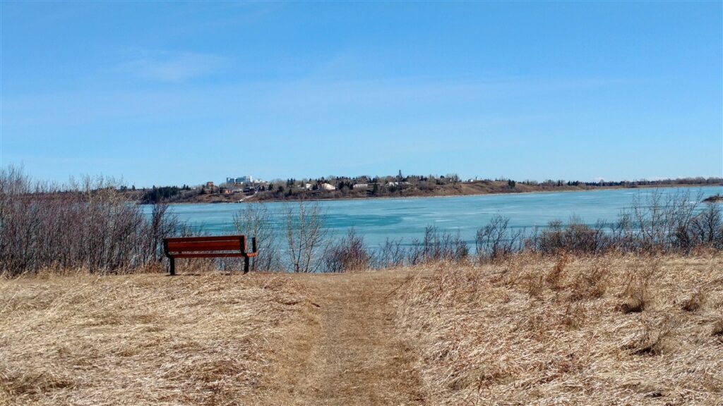
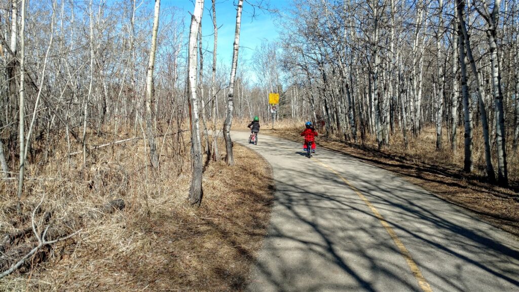
South Glenmore Park and Weaselhead Natural Area offer reservoir and forest views.
Enjoy the playgrounds, musical park, and splash park at South Glenmore Park, then ride the paved path to a beaver pond at the edge of Weaselhead Natural Area. Bring a bike lock so you can lock up your bikes and explore the hiking trails, but stay on the trail at all times; undetonated explosives have been found in the area. When the kids are strong bikers, try biking all the way around the reservoir (~15 km)! 2.8 km from South Glenmore Parking lot; 4 km from South Glenmore WEST parking lot.
10. Lindsay Park to Roxboro Park & Elbow River Beach: 2.8 km
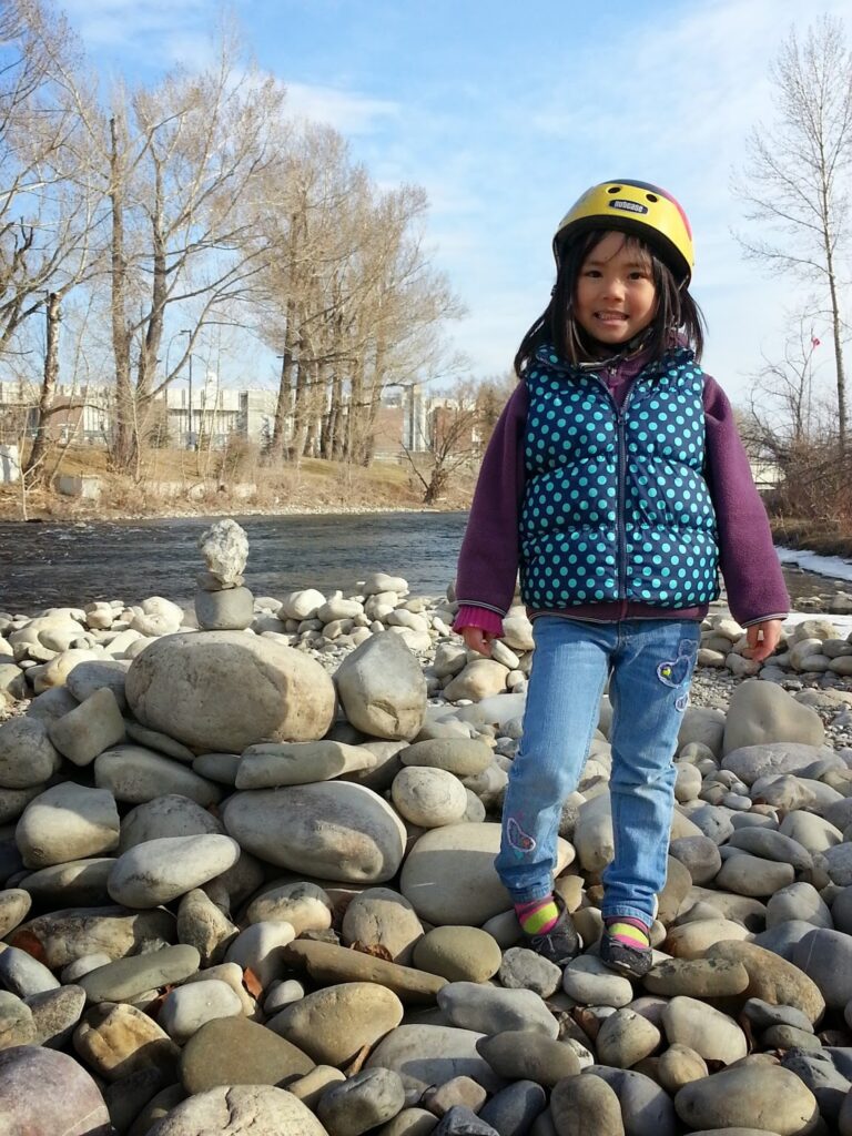
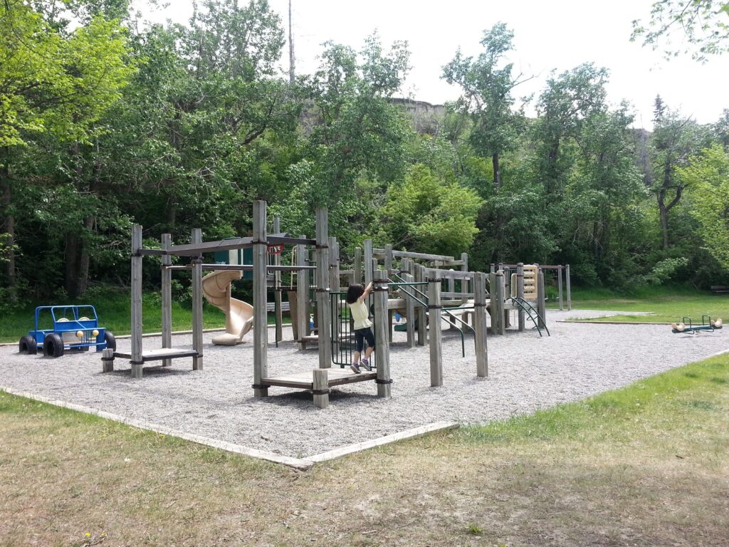
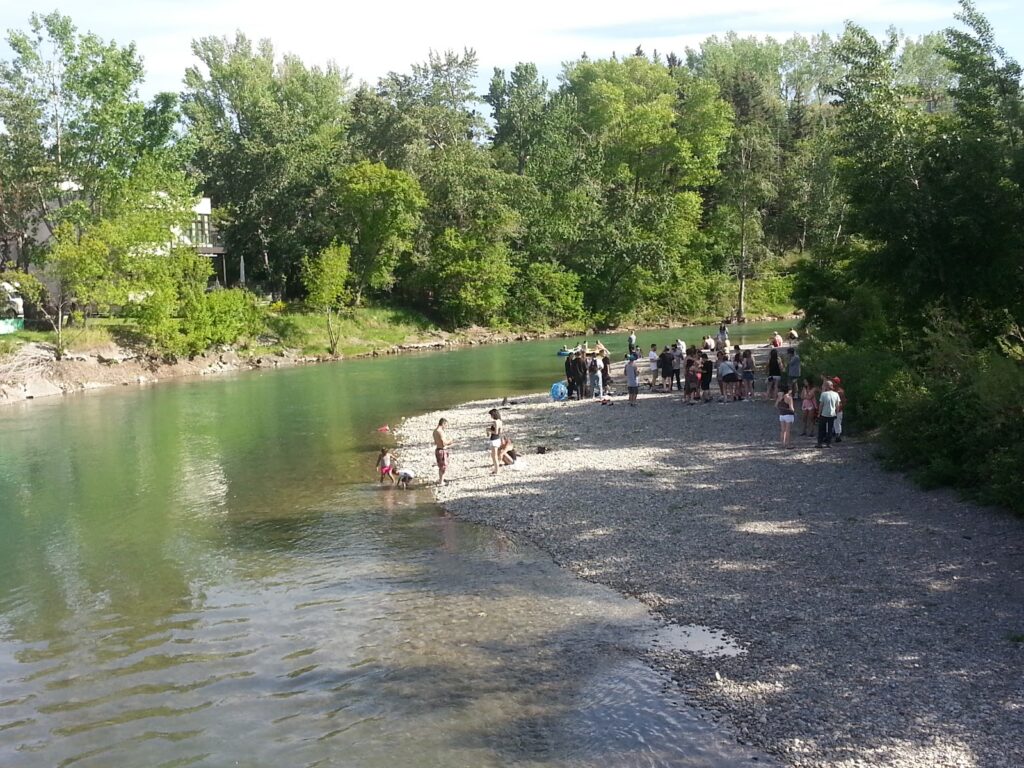
With a playground at either end and a beach in the middle, this ride is a summer favorite! Worthwhile detours include grabbing coffee at
Route: Take the Elbow River path south. Go under Scollen Bridge at 25 Ave SW. Continue south on the left (east) side of the river until you reach the playgrounds and tennis courts of Roxboro Park. Return the way you came, but when you get to the bridge, turn left (don’t cross the street!), and then take your first left onto the pathway. Keep an eye out on your left for river access and enjoy some beach time on this pebble beach.
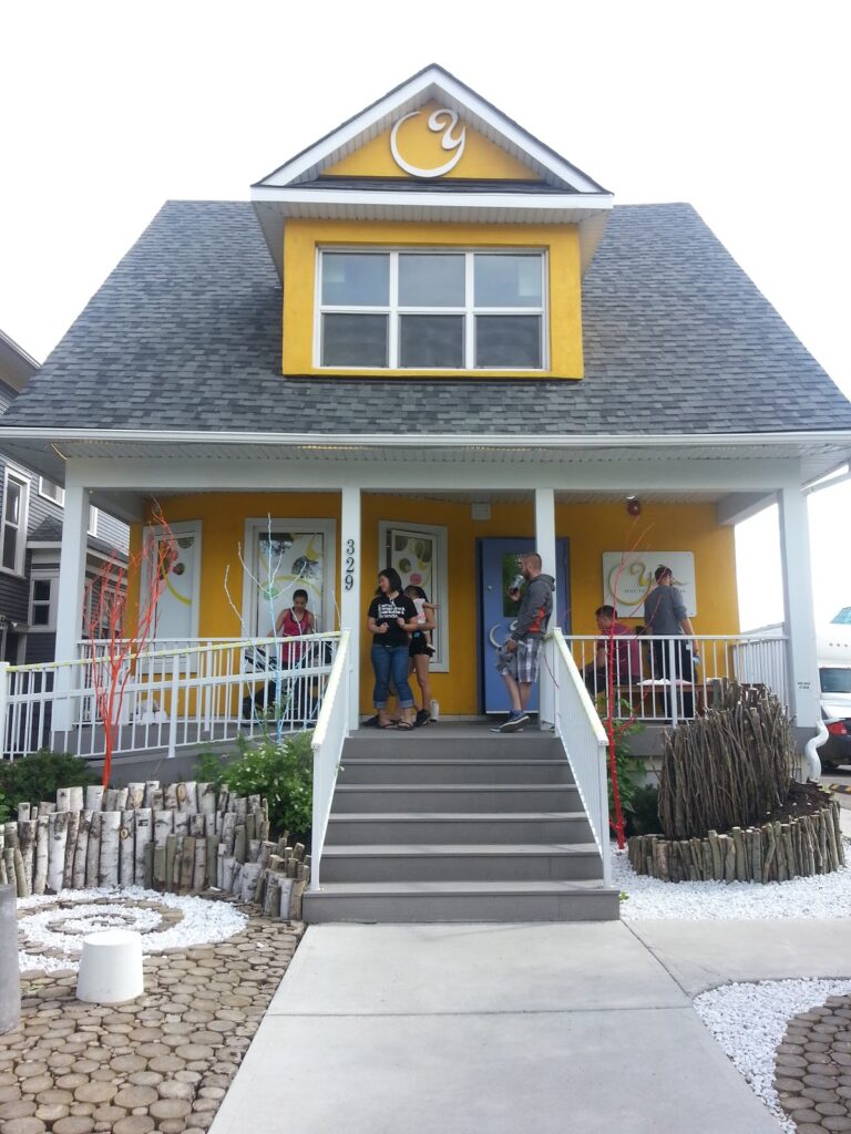
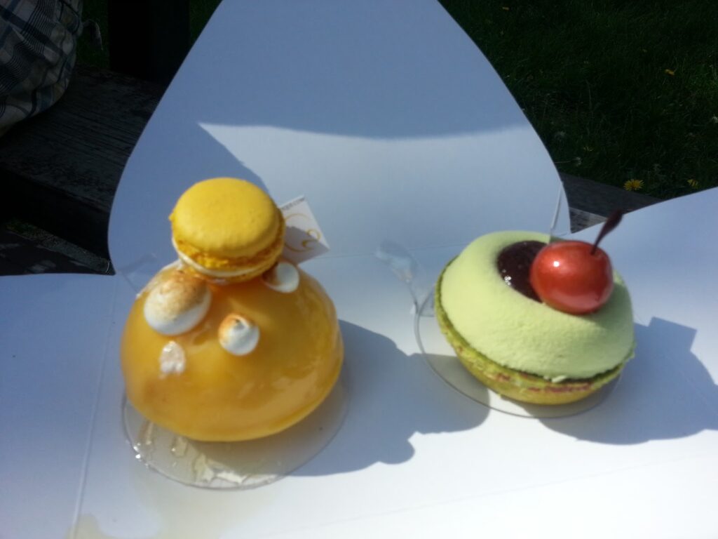
Snack spots: Phil & Seb’s on 4th Street or Yann’s Haute Patisserie (329 23 Ave SW).
There is also great biking in Nose Hill Park and Fish Creek Provincial Park. Where is your favorite place to bike in Calgary?
What to Bring
Disclosure: This post includes affiliate links through which I may earn a small commission at no extra cost to you. Thank you for supporting our small family business!
Bring a hydration pack or water bottle, snacks, a down hoody or fleece, windproof-waterproof shell, cycling gloves, first aid kit, bike tube (get the right size for your tire), bike tools, and portable bike pump. A bike pannier rack and pannier bags are handy if you don’t want to carry a backpack.
More Awesome Bike Rides
- Biking the Bill Milne Trail in Kananaskis
- Bow Valley Provincial Park Bike Path
- Family Fun in Glenbow Ranch Provincial Park
- Landmarks to Look for in Calgary Parks
- 3 Urban Hikes in NW Calgary
- Biking Tunnel Bench Loop, Banff With Kids


3 comments
Thanks Ladies! The geographer in me needs to get numbers. LOL. Hope it helps!
This is so awesome! Thanks Karen 🙂 We will use this story a lot this summer!
Thank you for figuring out the distance between Baker and Bowness. I used to have all these distances written down somewhere…
Comments are closed.