Spray Valley Provincial Park is an awesome mountain playground with scenic hiking trails, great mountain biking, paddling, fishing, camping (and glamping!), and dining. Here are five fun things to do in the Spray Valley this summer.
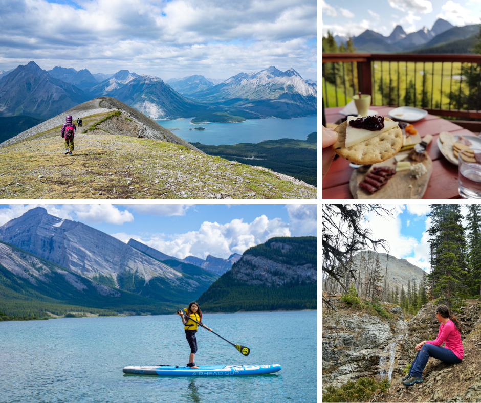
Table of Contents
Hiking in Spray Valley Provincial Park
There are several spectacular, unofficial trails in the park. If you’re not keen on route finding, stick to the more popular hikes, and carry a map and GPS / compass.
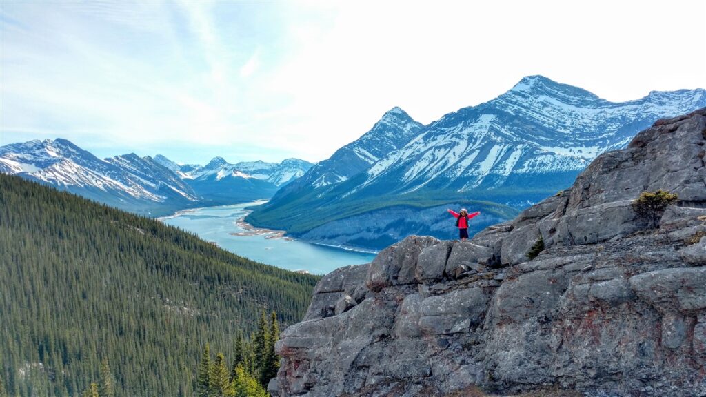
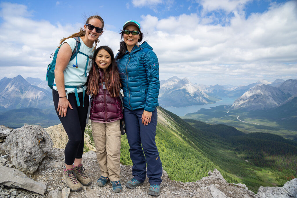
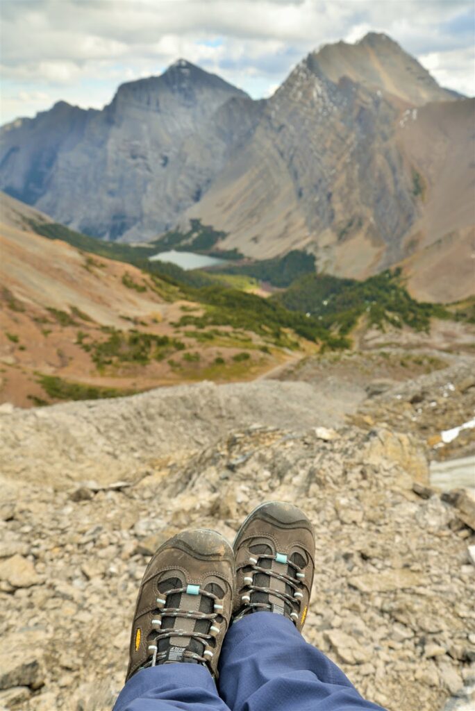
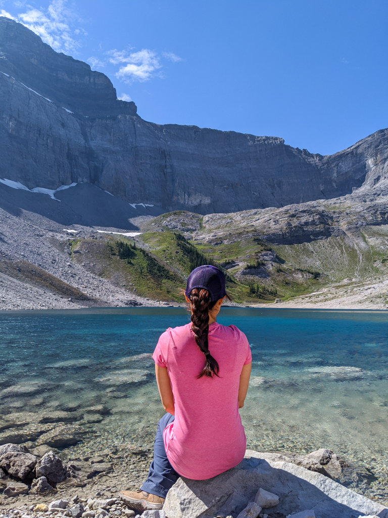
West Wind Pass is our favorite short trail in the Spray Valley. From the pass, you can head east to Wind Tower, a 10 km return scramble with exposure. For more information, read our story: West Wind Pass Trail, Kananaskis. Distance: 4.2 km return, Elevation Gain: 380 m.
Tent Ridge is one of the best ridge walks in Kananaskis as its horseshoe shape offers amazing viewpoints of the surrounding peaks. The unmarked parking area is 1 km past the bridge on Mount Shark Road, and the trailhead is the grassy cutblock about 200 metres back down the road. The trail is fairly straightforward, but check out our Tent Ridge story before you head out as there is no signage on the trail. It is a scramble getting up to the first summit with some exposure, and the descent has a lot of loose rock, so I recommend hiking boots and trekking poles. Distance: 9 km return, Elevation Gain: 850 m.
South Buller Pass is a strenuous, but rewarding day hike that starts at Buller Mountain Day Use and passes a small waterfall. 6.6 km one way, 671 m elevation gain. From South Buller Pass, you have a few options: 1) return the way you came, 2) return via North Buller Pass, 3) descend to Ribbon Lake, or 3) descend to Guinn Pass. With a car shuttle, it’s possible to hike into Ribbon Lake Backcountry Campground and hike out via Ribbon Creek (if you can manage downclimbing the chain section near Ribbon Falls with your backpack).
Galatea Creek Trail follows the creek and crosses 11 bridges before ending at Lillian Lake, but if you go a little further, you can visit two turquoise alpine lakes. This trail, unlike the ones previously mentioned, is on the Highway 40 side of Spray Valley Provincial Park. 6.3 km with 600 metres elevation gain to Lillian Lake Backcountry Campground (reservations required), 2 km + 150 metres elevation gain more to Lower and Upper Galatea Lakes. Read our story about backpacking to Lillian Lake and hiking to Galatea Lakes for more info.
Biking in the Spray Valley
There are some great mountain biking trails in the Spray Valley. Mountain bikers should be self sufficient as there is no cell service along the trail. Learn how to change a flat tire before you hit the trail, and consider buying a Garmin inReach Mini 2 satellite communicator to check in with friends and family, and contact Search and Rescue in the event of an emergency (you can also navigate with it).
What to bring: Bring a hydration pack or water bottle, snacks, a down hoody or fleece, windproof-waterproof shell, cycling gloves, first aid kit, bike tube (get the right size for your tire), bike tools, and portable bike pump. A bike pannier rack and pannier bags are handy if you don’t want to carry a backpack.
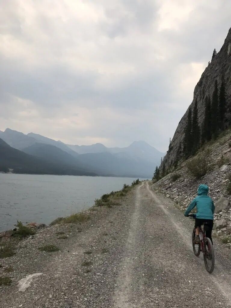
Ride the Spray Fire Road (also known as West Side Road) for a beautiful, family-friendly ride. 10.8 km one way from the Spray Lakes West Day Use Area to the dam. For more information, read this story by This Mom Bikes: Bikepacking: Spray Lakes Area.
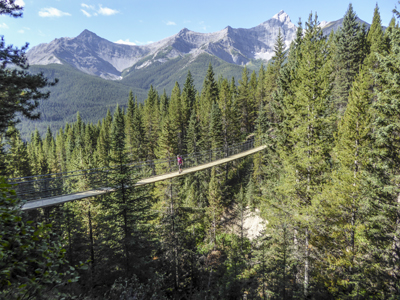
The High Rockies Trail goes from Goat Creek to Elk Pass; a distance of 80 km. The highlight of the trail, for many, is the 73 m long suspension bridge over Blackshale Creek located 2.3 km from Black Prince Cirque trailhead. For detailed descriptions of each section of the trail, check out Kananaskis Trails | High Rockies Trail. Arrange a car shuttle or plan to camp (see Where to Stay below) or stay at Mount Engadine Lodge en route.
Paddling in the Spray Valley
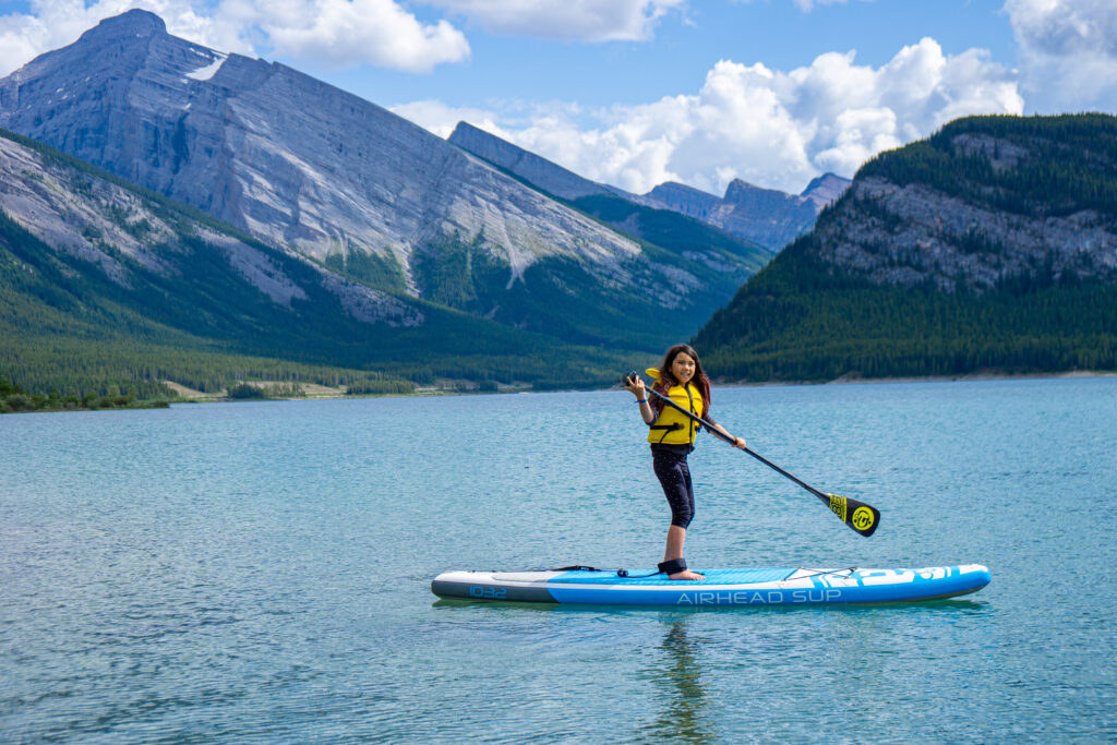
Spray Lakes Reservoir is 14.8 km long offering hours of exploration by boat. Put in at Driftwood Day Use’s boat launch or Spray Lakes West Campground’s hand launch. It can get quite windy here, so stay close to shore and have a hiking or biking trail lined up as a backup plan.
Fishing in the Spray Valley
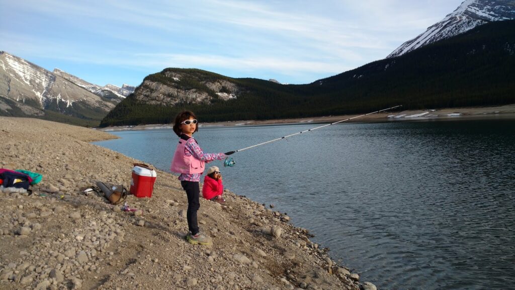
Your best bet for catching lake trout or mountain whitefish at Spray Lakes is to go out in a boat, or so I’ve heard (we haven’t had much luck from shore). Check Alberta Fishing Regulations for keep limits/regs.
Dining in Spray Valley Provincial Park
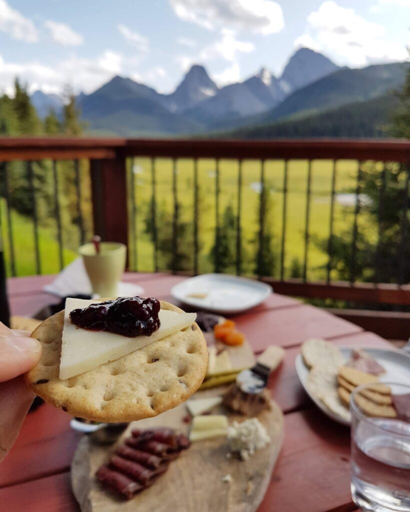
For divine après-hiking / biking/ paddling treats, head to Mount Engadine Lodge for Afternoon Tea (daily from 2 pm – 5 pm unless there is a special event/closure; check their website before you go). A charcuterie platter, desserts, and tea or coffee on the patio in the mountains… does it get any better than that? There are also tables inside if you prefer. I have raced out of Mount Assiniboine Provincial Park (28 km) to get to Mount Engadine before Afternoon Tea is over.
Where to Stay
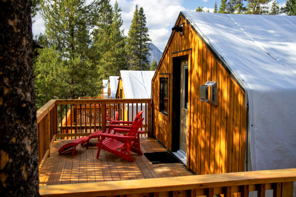
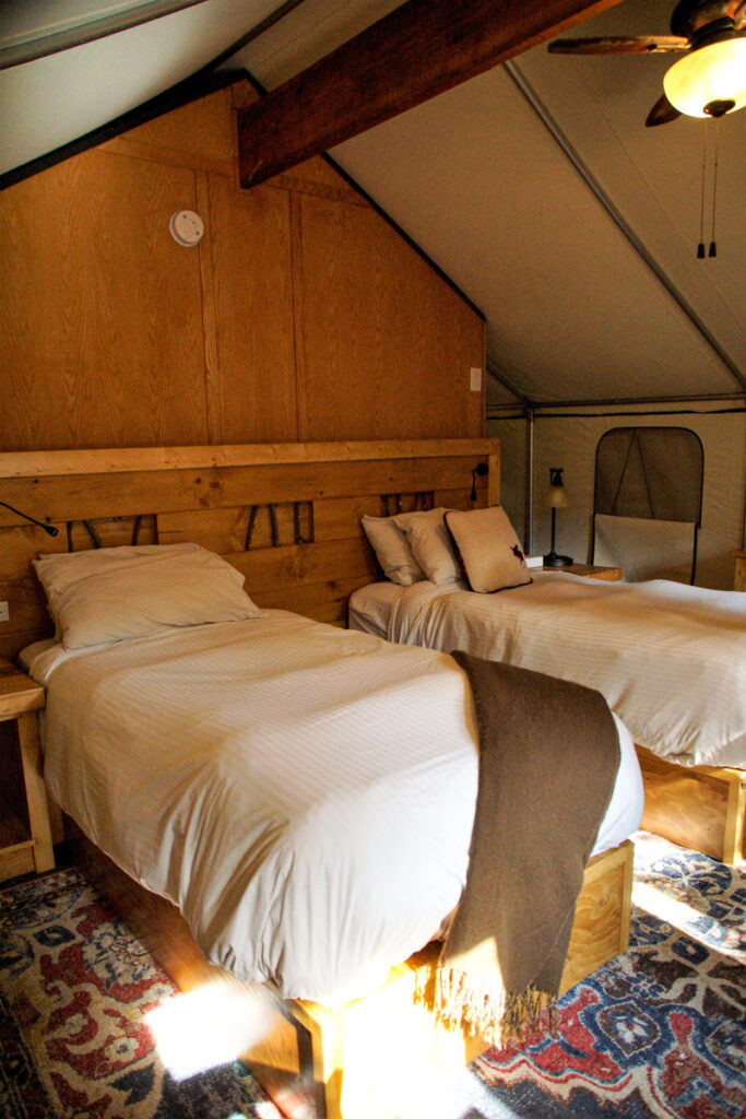
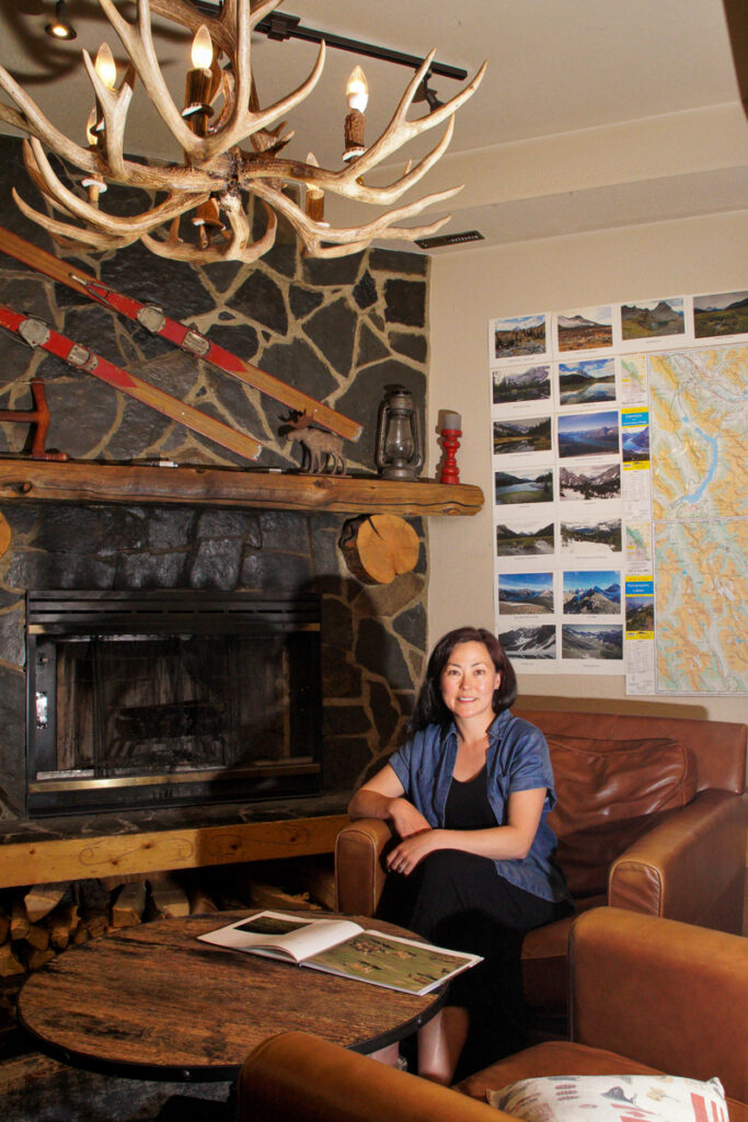
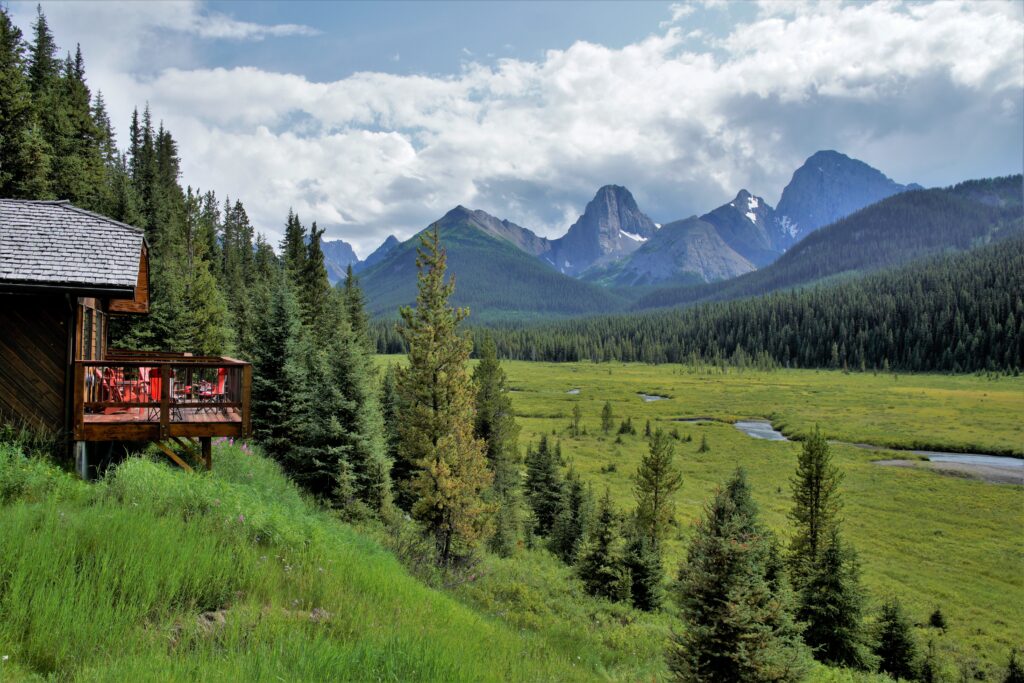
Mount Engadine Lodge offers a range of all-inclusive lodging options from a secluded yurt (5 minute walk from the lodge), cozy glamping tents with 3-piece bathrooms, cabins, and lodge suites. Four delicious meals are included with your stay: Afternoon Tea, dinner, breakfast, and a brown bag lunch to take with you. With no other hotels in the area, you can really get away from it all at Mount Engadine! Read about our experience staying in a glamping tent here: Glamping at Mount Engadine Lodge in the heart of Kananaskis.
Spray Lakes West Campground has 50 unserviced, first come first served sites spread out along the west side of the reservoir. Arrive early (NOT Friday night) to get a spot at this popular campground. For more information, visit Alberta Parks – Spray Lakes West Campground.
As of July 2021, there are four hike-in / bike-in only camping areas at Spray West Campground, Buller Pond Day Use Area, Sawmill Trail Day Use Area and the Pocaterra Overflow Campground. Fees are in effect (pay at self-registration kiosk) and all food/items with a scent must be kept in bear lockers. These camping areas make it possible to explore the High Rockies and Great Divide Trails over a few days.
Know Before You Go
A Kananaskis Conservation Pass is required to park in Kananaskis.
There is no cell service in the park and signage is limited, so a map and compass/GPS and trail guide books are highly recommended. Unofficial trails do not have signs at the trailhead and parking areas for unofficial trails are not marked. We recommend Gillean Daffern’s Kananaskis Country Trail Guide Vol. 1: Kananaskis Valley – Kananaskis Lakes – Elk Lakes – Smith-Dorrien (Amazon Affiliate link) and Canmore and Kananaskis Village Gemtrek Map (Amazon Affiliate link).
What to Bring
Disclosure: This section includes affiliate links through which I earn a commission on qualifying purchases at no extra cost to you.
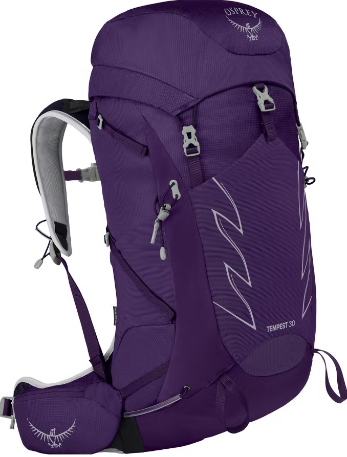
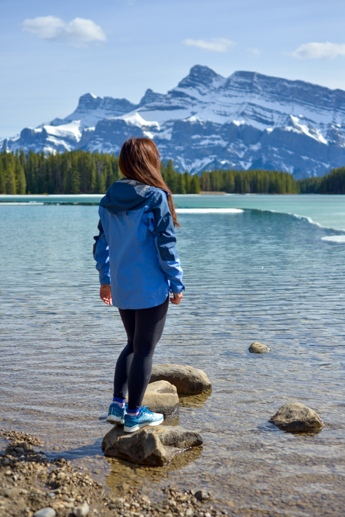
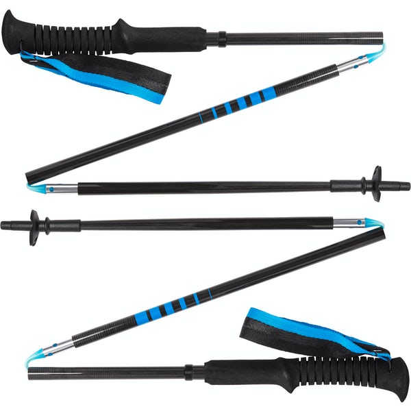
Waterproof mid-height hiking boots, a down hoody or fleece, toque, gloves, and windproof/waterproof shell are recommended year round. Trekking poles are useful for long hikes, steep descents, or when you’re carrying a fully-loaded backpack (or are babywearing). You should also carry The Ten Essentials including: water, extra food, extra clothes, a first aid kit, headlamp, GPS / compass / Garmin inReach Mini 2 satellite communicator* and map of the area, mineral sunscreen, bug spray (this DEET-free insect repellent contains 20% icaridin and will repel ticks), and bear spray. Carry bear spray in a Bear Spray Holster or Scat Griz Bear Spray Running Belt.
*A Garmin inReach Mini 2 satellite communicator is highly recommended for contacting Search & Rescue and emergency contacts in the event of an emergency, or communicating with friends and family when you are out of cell phone range. You can send text messages and your GPS coordinates via satellite, but a monthly service plan is required.
Getting Here
Spray Valley Provincial Park is located 1.5-2 hours from Calgary. To access the south end of the park, it is fastest to take Highway 40 to Spray Lakes Road / AB-742 / Smith-Dorrien Trail. If visiting the north side of the park, it is quicker to go via Canmore and Spray Lakes Road.
Note that Spray Lakes Road is a gravel road from Grassi Lakes to Highway 40, and depending on when the road was last graded, it can often be quite rough (potholed and washboardy). Watch your speed and watch for wildlife!
Related Posts
- West Wind Pass
- Tent Ridge
- Black Prince Cirque
- Glamping at Mount Engadine Lodge
- Camping at Lillian Lake Backcountry Campground (and hiking to Galatea Lakes)
- South Lawson Peak (aka Little Lawson)


