West Wind Pass is a short and scenic unofficial trail in Kananaskis that offers gorgeous views with minimal effort.
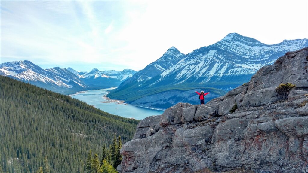
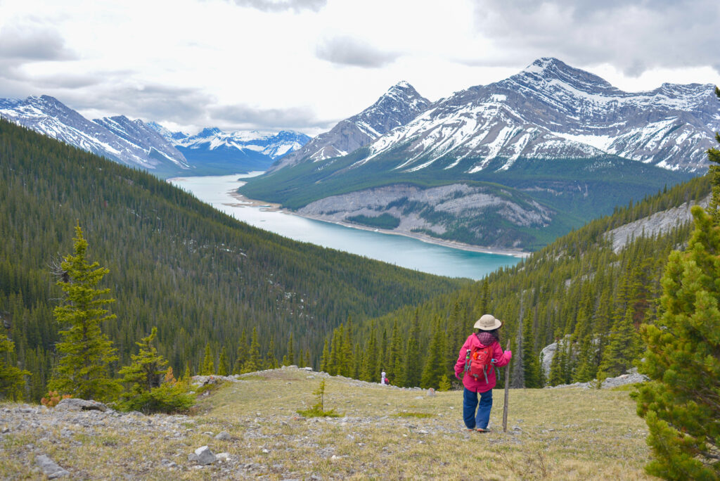
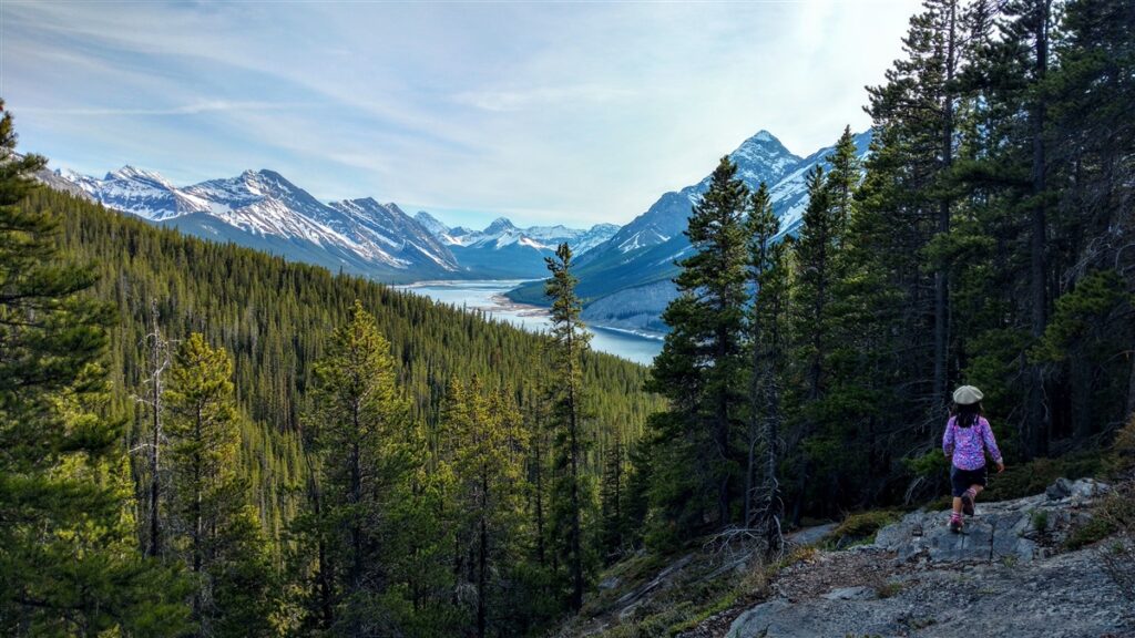
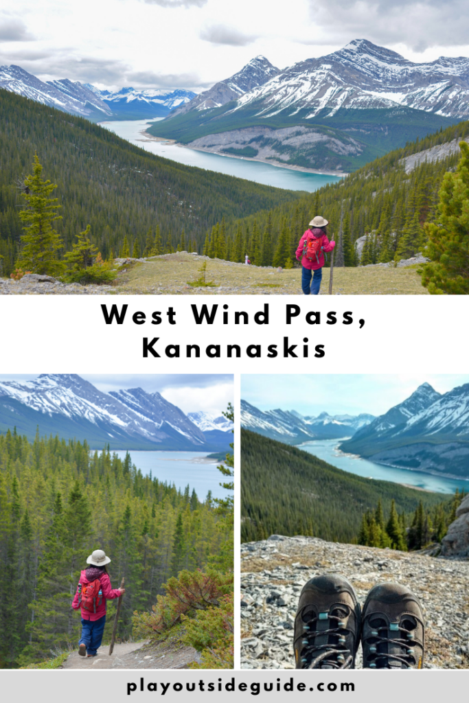
West Wind Pass offers spectacular panoramic views of the Spray Lakes and surrounding peaks in only 2.1 kilometres. Although the trail is steep, it’s worth the effort! The unmarked trailhead is located on Spray Lakes Road, a short drive from Canmore.
Table of Contents
West Wind Pass Route Description
Park 1.3 km past Driftwood Day Use to access the unofficial, unmarked trail. If you see a yellow Alberta Parks sign that mentions a seasonal trail closure for Wind Valley (does not apply to West Wind Pass), you are in the right place.
Take the well-used High Rockies Trail to the left of the creek. Shortly after the wildlife camera, take the small trail at right which goes straight uphill.
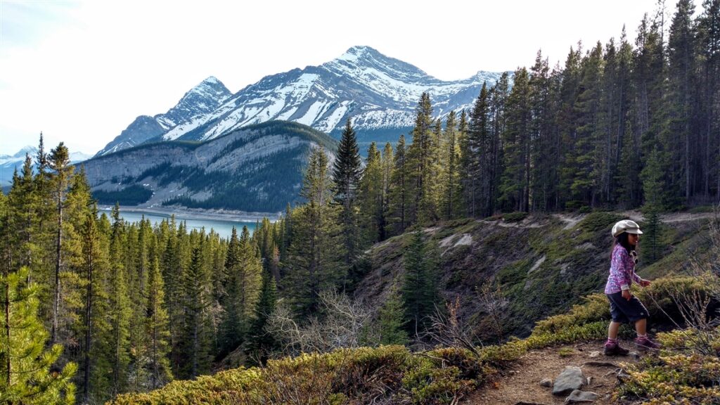
Continuing up the steep slope, you’ll be rewarded with views along the ever deepening ravine. Wind Tower (part of Mount Lougheed) is the peak to your right. Rimwall, not visible until you get higher, is on your left. Be sure to turn back from time to time to enjoy views of Spray Lakes and the surrounding peaks!
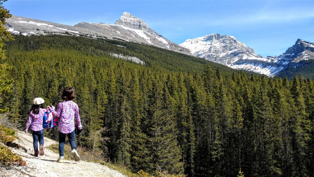
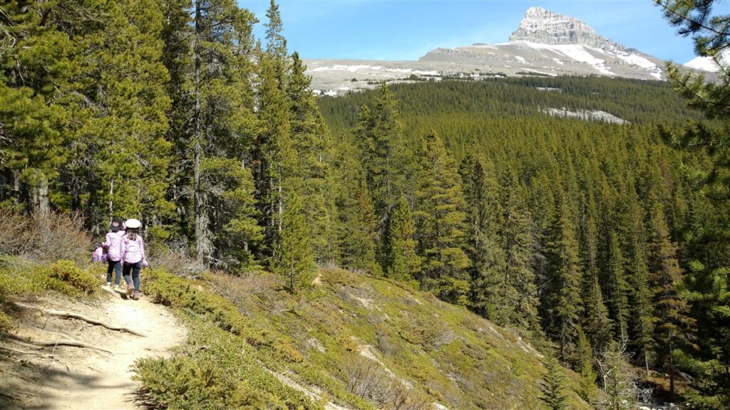
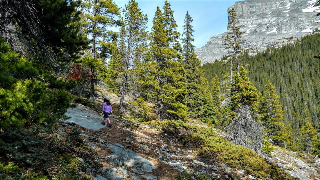
The trail hugs the ravine most of the way, so keep little ones close as the trail goes close to the edge in several spots. Going up is not too bad, but coming down can be a bit slippery with sections of loose rock.
As you approach the pass, there are rocky outcroppings that make great shelters on a blustery day. They’re also great for climbing! Climb up and get perfect panoramic pics! Spray Valley is to the south and Wind Valley is to the north.
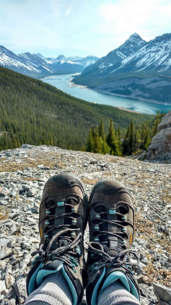
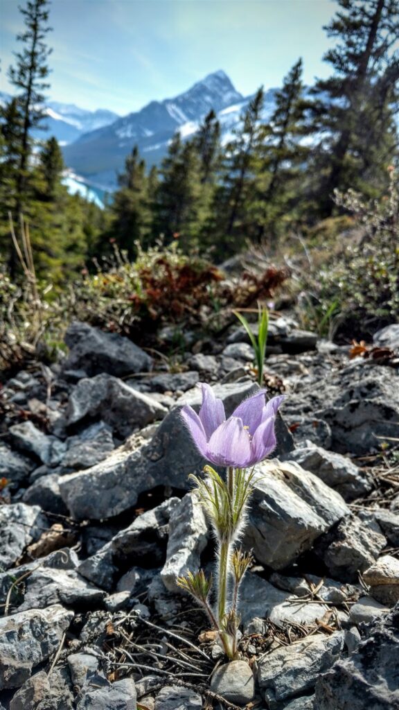
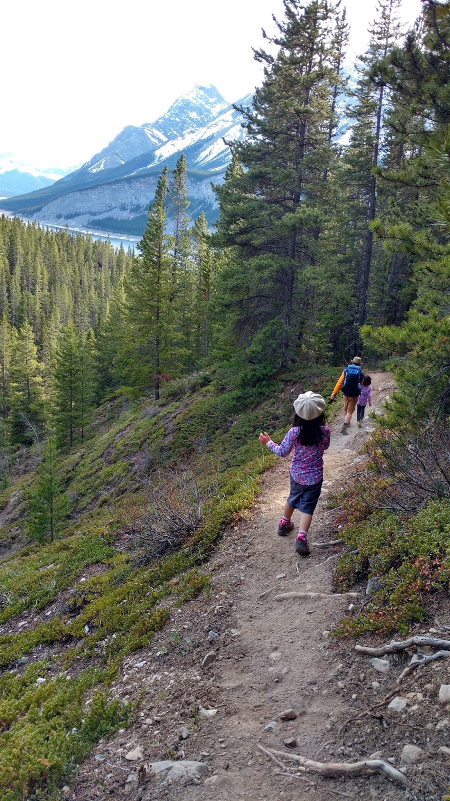
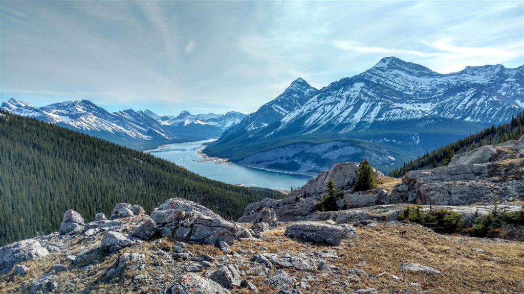
The descent was quick with only one slip (famous last words to my youngest: “Don’t run!”), and in what seemed like no time, we were back at the car. My six year old said “I didn’t know it was that steep on the way up! I could’ve done more!” Next time, young grasshopper!
West Wind Pass At a Glance
Distance: 4.2 km
Elevation Gain: 380 m
Time: Allow 3 hours if hiking with kids
Nearest Washrooms: Driftwood Day Use Area
Stroller Friendly? No.
Geocaches: There are a few geocaches along the hike! Download and store cache data at home as there is no cell service on the trail.
Recommended age: 4 & up (Wear proper footwear so you don’t slip. It is short, but steep!)
Directions: From Canmore, get onto Spray Lakes Drive / Three Sisters Parkway / AB-742 (becomes Smith-Dorrien Trail). Continue on AB-742 (gravel road) for about 16 kilometres until you reach Driftwood Day Use Area. There are washrooms here if you need them. From here, set your odometer to zero and pull over 1.6 km past Driftwood Day Use. Park on the side of the road. The trail starts on the north side of the road (opposite the lake), to the left of the creek.
Trailhead: There is no sign marking the trailhead. Pull over 1.3 km past Driftwood Day Use (if coming from Canmore). Trailhead Coordinates: 50.976405, -115.321332
Closures: There is a seasonal closure from December 1-June 15 each year for West Wind Valley (north of West Wind Pass) and West Wind Ridge (north-west of West Wind Pass), but not Wind Pass, so please respect the closure and stay on trail and return the way you came. The closure is in effect to preserve critical grazing areas for wildlife. See Alberta Parks’ map of the affected area here.
Fun Fact: West Wind Pass is notoriously windy, but is actually named for West Wind Creek! (Source)
More Fun in the Area
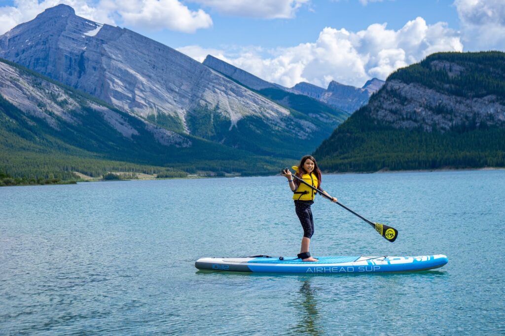
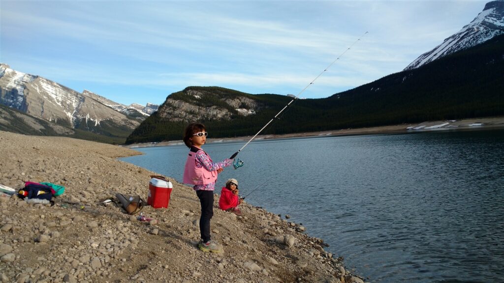
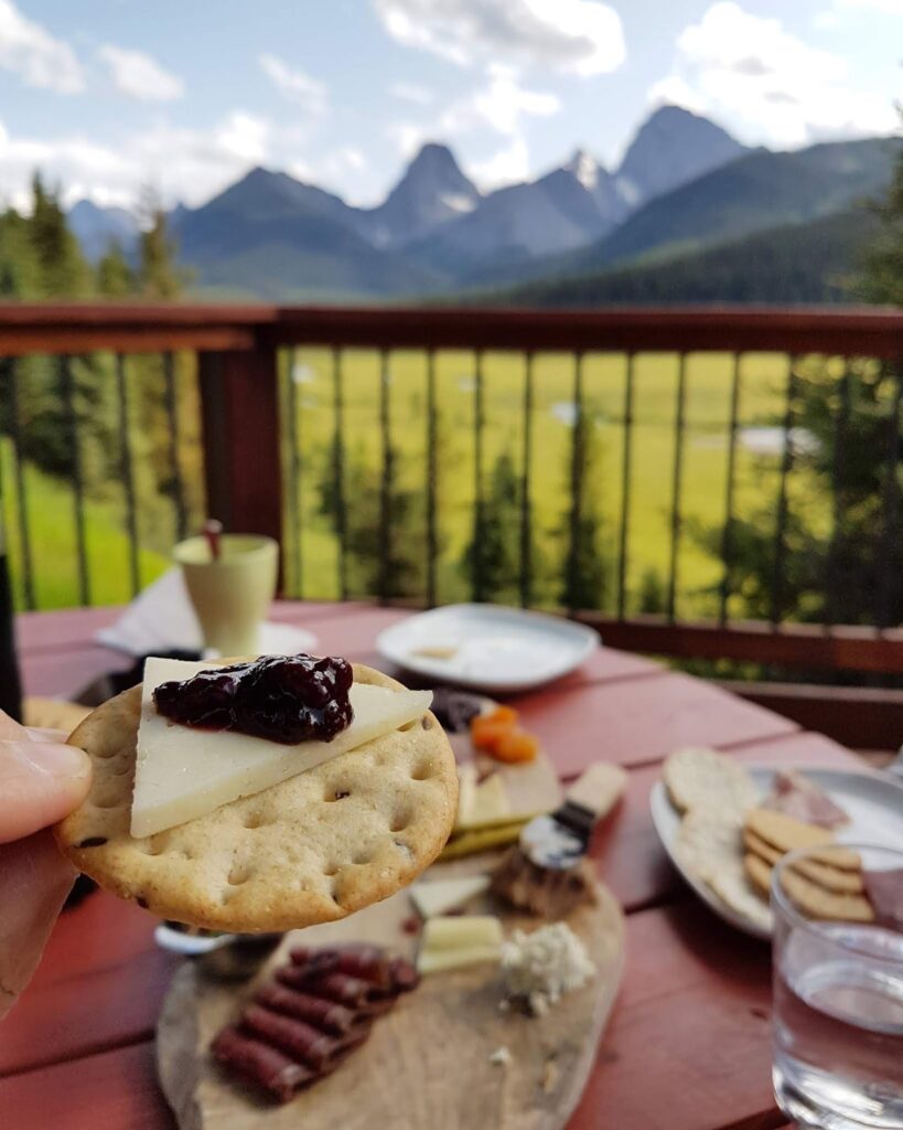
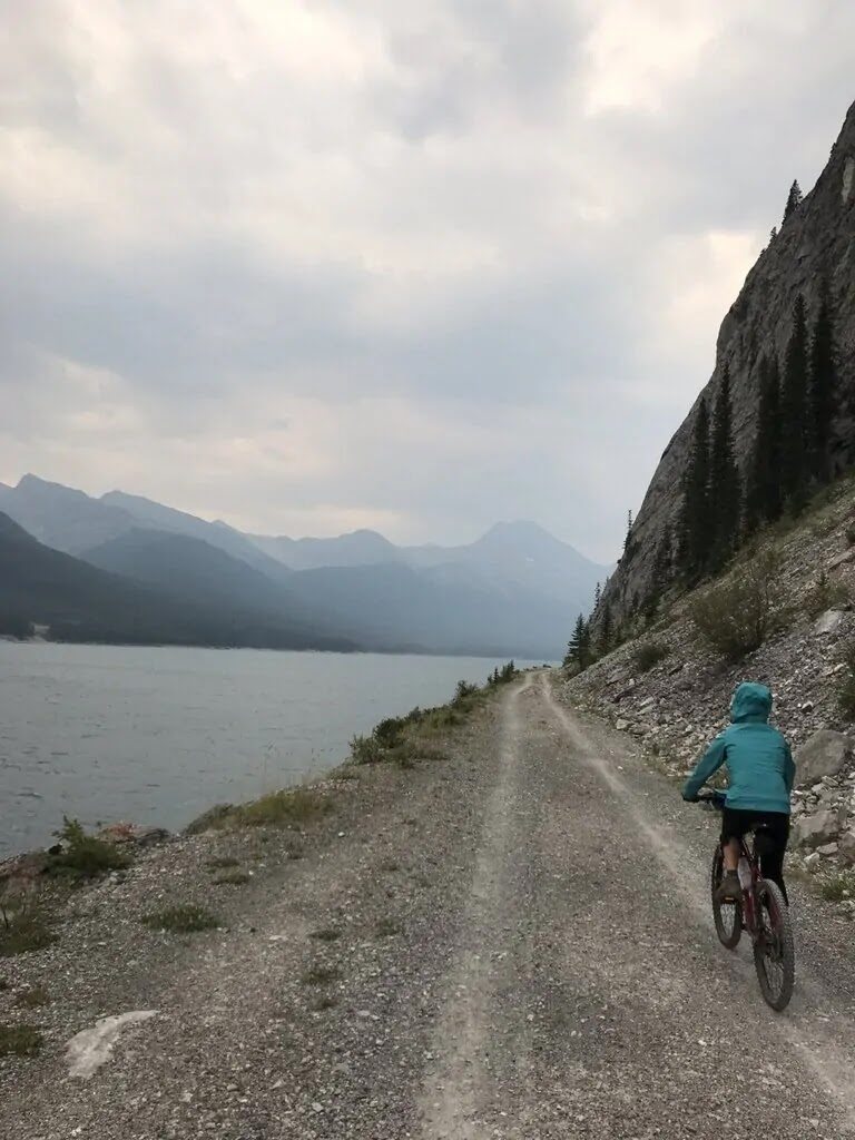
Fish or paddle at Driftwood Day Use, camp at West Spray Lakes, or mountain bike the High Rockies Trail or Spray Fire Road! Afternoon Tea at Mount Engadine Lodge (daily from 2 pm – 5 pm) is always a nice treat too!
Not enough hiking for one day? Hike the popular trail to Grassi Lakes on your way home! There is an easy trail (stroller friendly, unpaved) or “difficult” trail (not stroller friendly, has stairs) depending on how you’re feeling. We usually take the difficult trail up as it’s prettier, and descend via the easy trail.
For more ideas, see our story Five Fun Things to Do in Spray Valley Provincial Park.
Going Further
For a longer hike, scramble Windtower, the peak on the east side of the pass. Windtower is 1000 metres elevation gain and 10 km return from the trailhead (not the pass). A super fun scramble, but not suitable for little kids as there are several cliff bands to go over and exposure at the top (huge dropoff).
Rimwall Summit is also accessed via West Wind Pass Trail, and has similar elevation gain, but requires route-finding. I recommend going with someone who has gone before or reading detailed trip descriptions. Again, not for little kids as there is some sketchy scree on slab and exposure.
Other Posts You Might Like
- The Best Short Hikes Near Calgary
- Little Lougheed Scramble, Kananaskis
- Exploring Dinosaur Provincial Park
- Family Fun in Bow Valley Provincial Park
- Glenbow Ranch Provincial Park
- Ptarmigan Cirque – The Best Short Hike in Kananaskis


