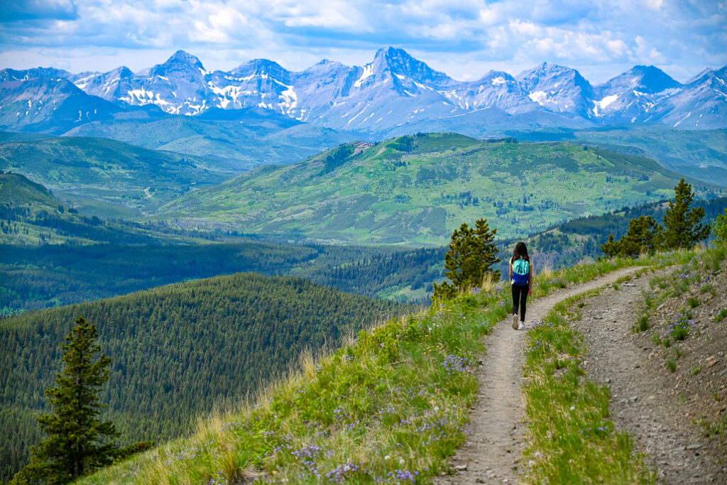
Carbondale Hill offers panoramic views of Castle Provincial Park. Be up and down in 3 hours or less!
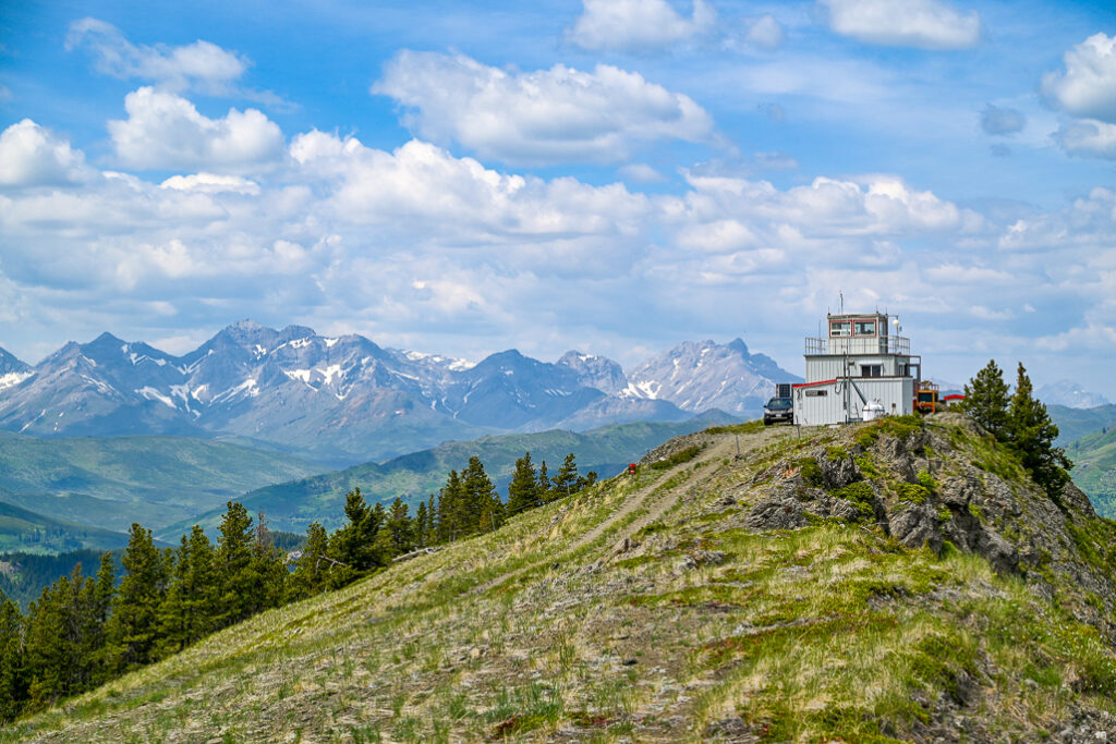
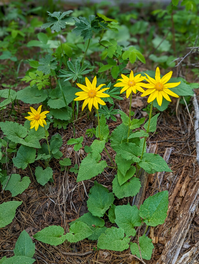
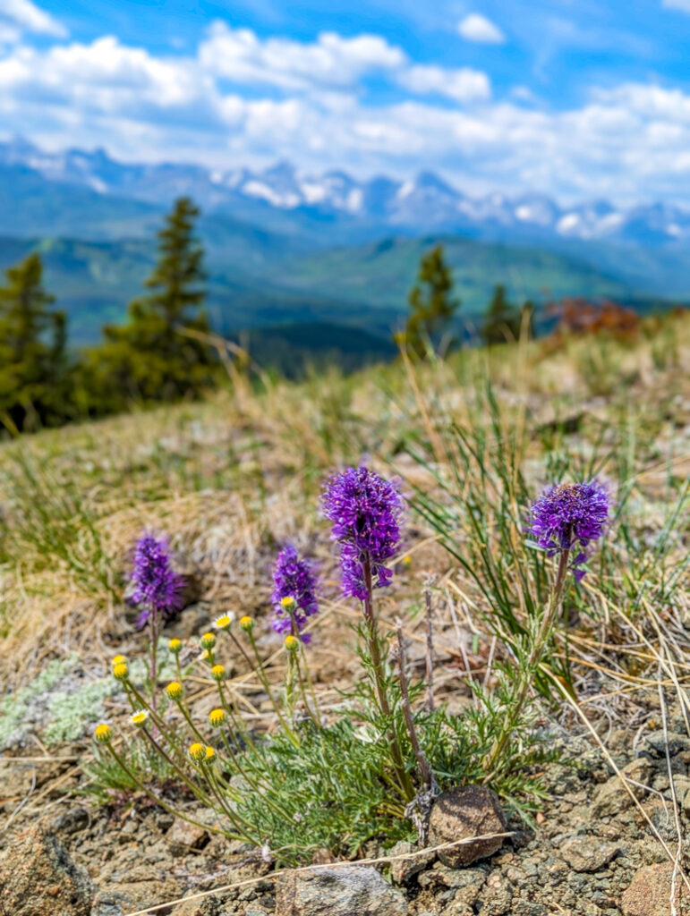
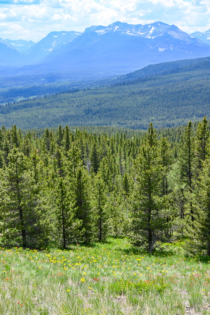
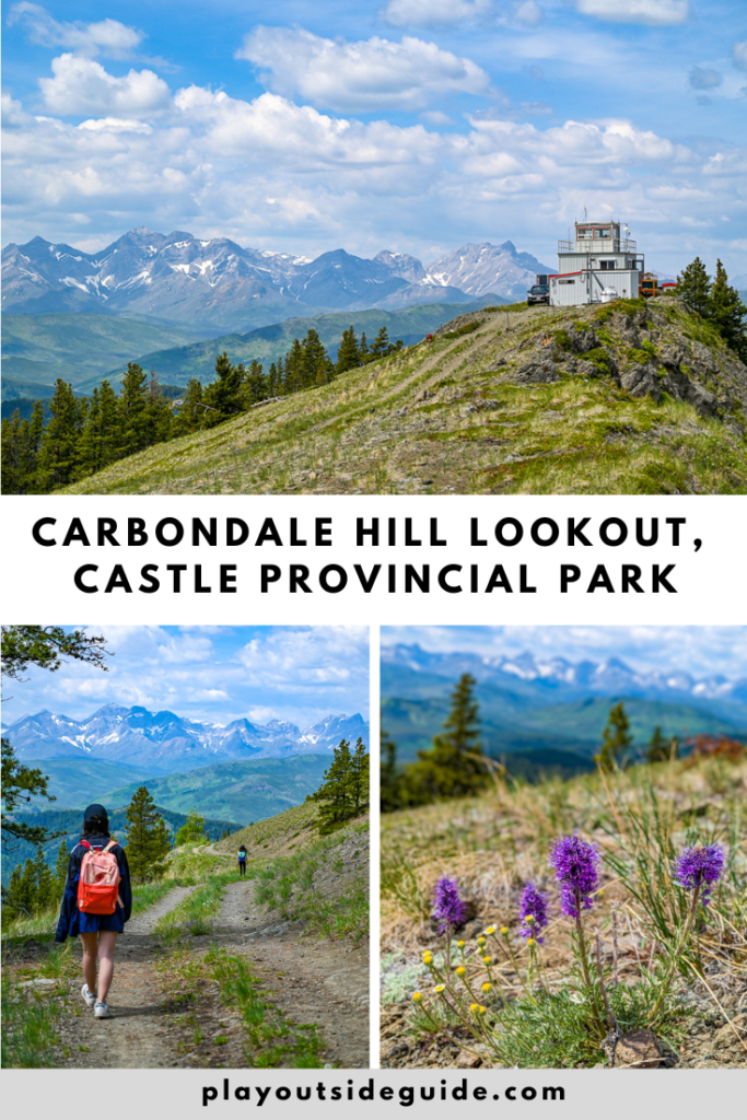
Carbondale Hill is a popular shoulder season and snowshoe trail due to low avalanche danger, and is also a good early summer hike when wildflowers are in bloom. Look for paintbrush, arnica, thimbleberries, alpine buttercups, and lupines along the trail; and meadows of wildflowers as the trees thin out.
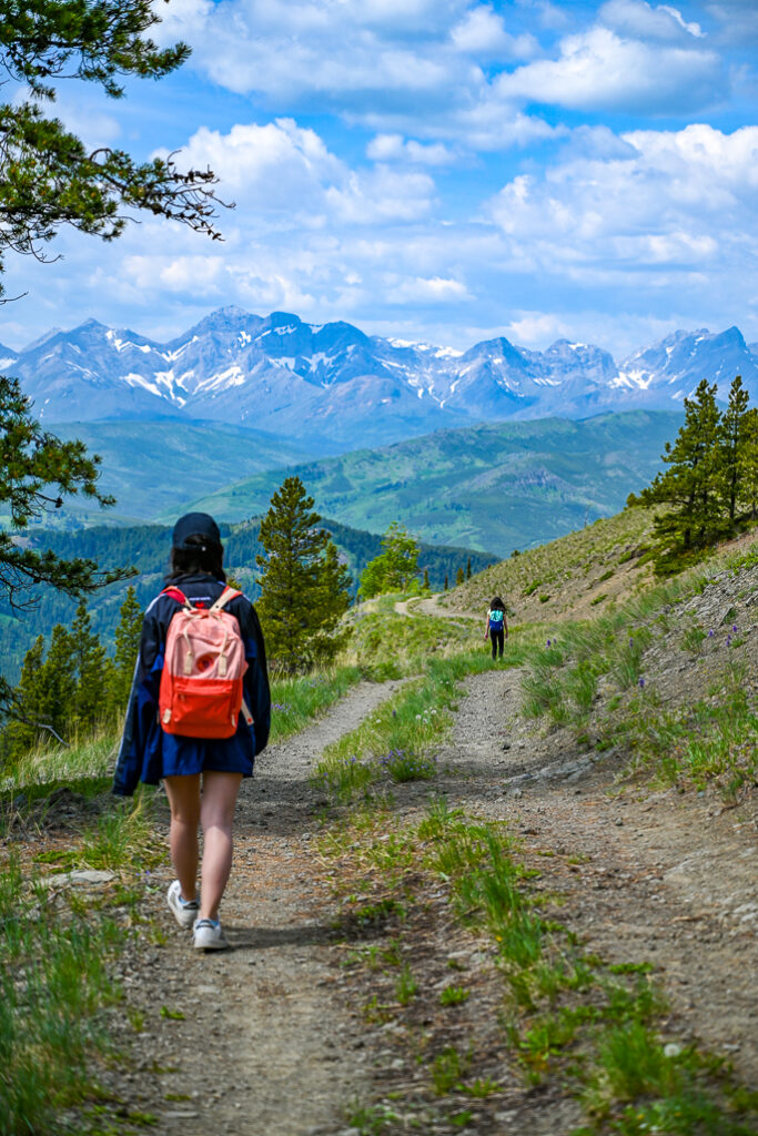
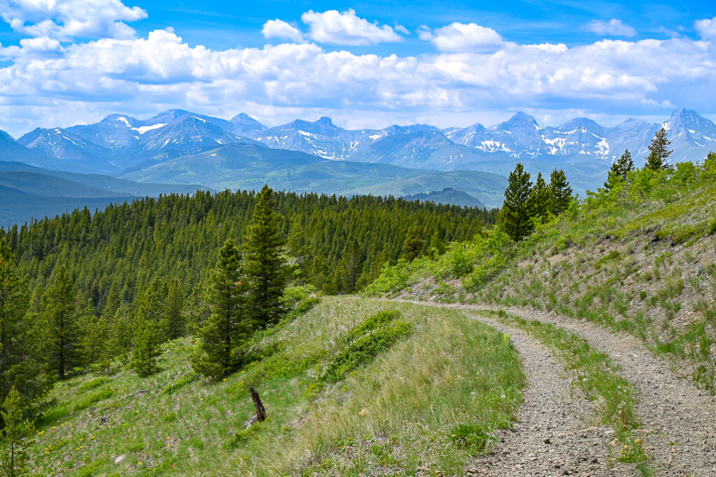
While the slog up the “trail,” a gated 4×4 road (for the fire warden’s vehicle only, but hiking is permitted), isn’t too exciting, the vistas from the Halfway Lookout and summit are fantastic. On the plus side, there’s no chance of getting lost, and there’s shade for three quarters of the way. Allow about 3 hours to complete the hike and have a little snack at the picnic table near the top.
There’s an active fire lookout at the top. Please be respectful of the fire warden’s residence and workplace, and keep 100 metres away from the lookout.
Carbondale Hill Route Description
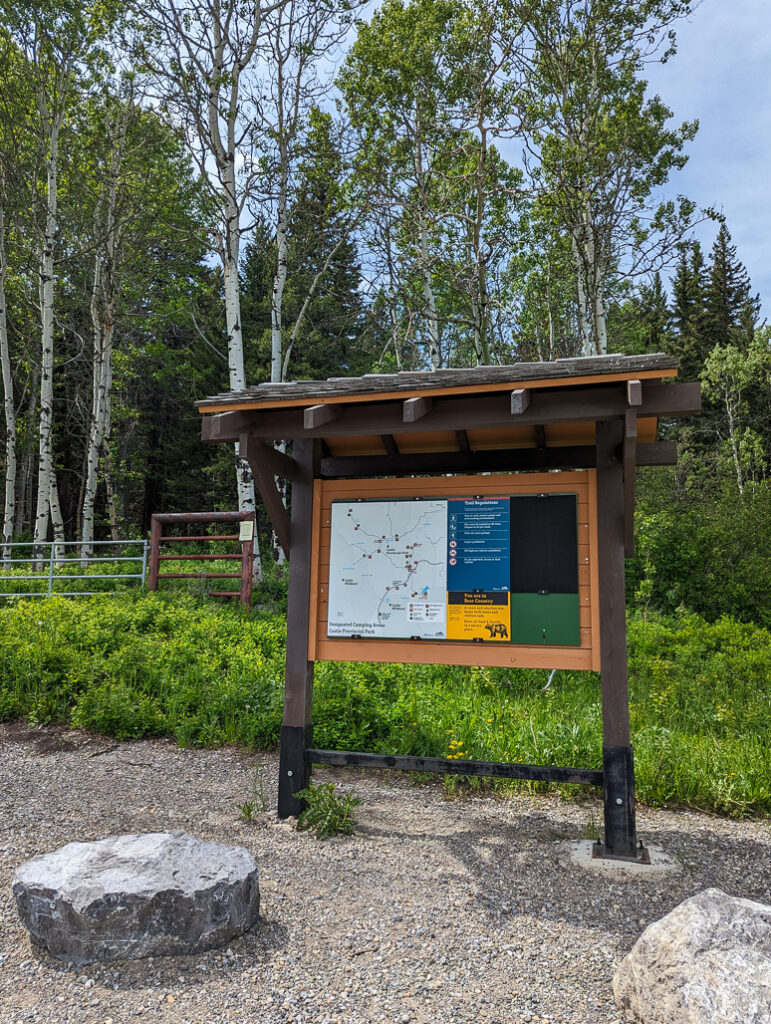
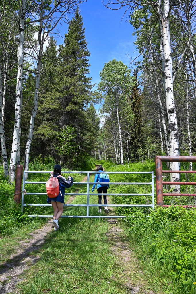
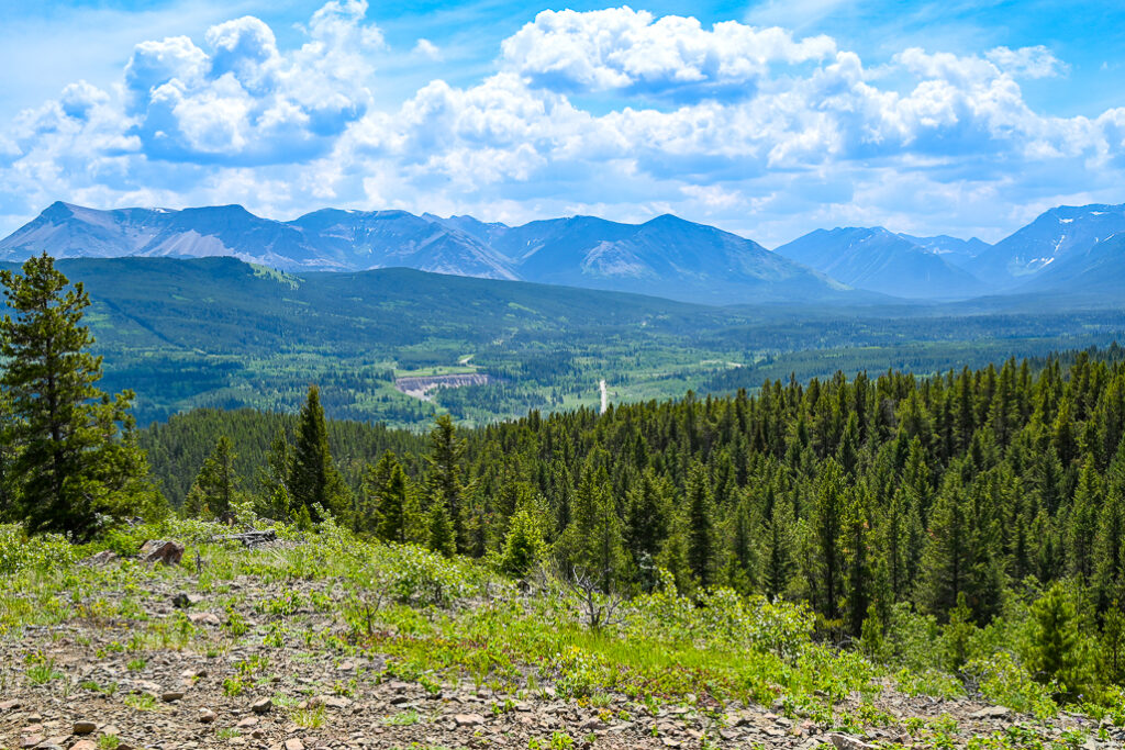
The hike up Carbondale Hill is a moderately challenging endeavor, rewarding hikers with panoramic views of the surrounding wilderness. From the trailhead kiosk, go around the gate, and follow the road uphill all the way to the fire lookout (stay 100 metres away), remembering to holler “Yo bear!” every so often. Bears are often seen here in summer.
After 1.8 kilometres, you will see a little trail branch off to the left. There’s a lovely viewpoint here that we call Halfway Lookout because it’s about halfway to the top. With a few large rocks to sit on, it’s a good snack spot.
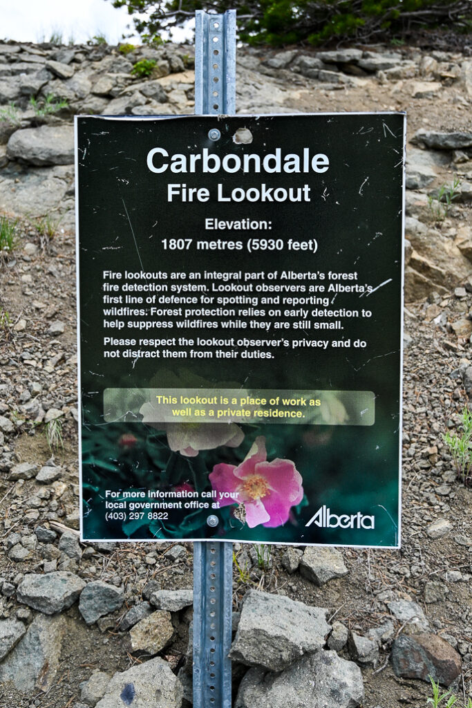
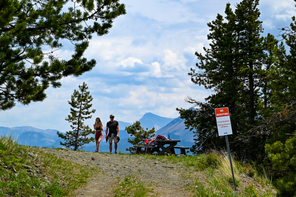
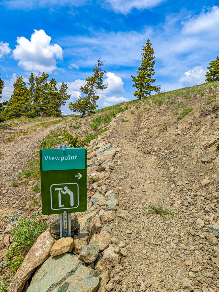
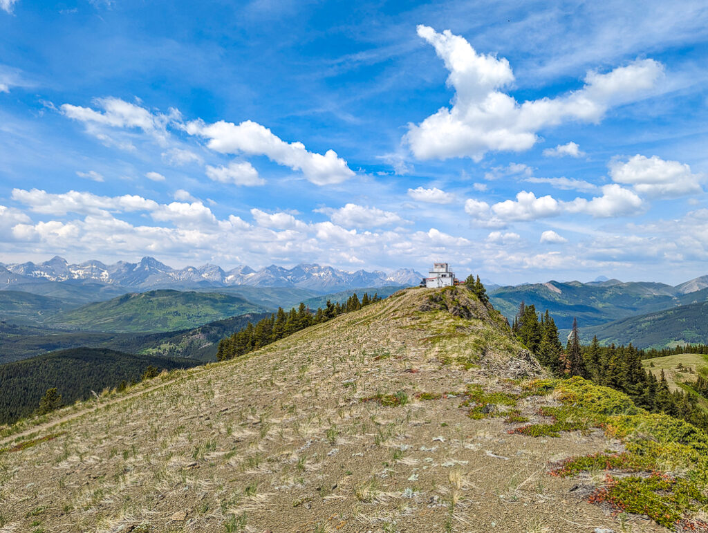
Continuing onward and upward, in 1.2 km (3 km from the start), you will reach another gate. From here, the views open up considerably and there is very little shade. As you emerge from the forested section, the trail opens up to expansive meadows adorned with a vibrant display of wildflowers, especially during the spring and summer months. With three long switchbacks to the top, it may be tempting to go straight uphill, but you should stay on the road to avoid trampling vegetation and causing erosion.
4.2 km from the start, you will reach a picnic table and junction to the viewpoint. From the viewpoint sign, it’s only 100 metres to the top of the hill. The ridgetop elevation is only 1807 metres but offers unobstructed prairie, foothills, and mountain views. Look for Table Mountain (east), Gravenstafel Peak (south), and the Flathead Range (west).
Return the way you came.
Carbondale Hill at a Glance
- Distance: 1.8 km to Halfway Lookout, 4.3 km to the top
- Elevation Gain: 187 m to Halfway Lookout, 458 metres to the top
- Difficulty: Moderate
- Sports stroller friendly? Yes, until you are within 100 metres of the top (narrow trail).
- Washrooms: No
- Trailhead and parking: Park in the gravel parking lot on the west side of Castle Falls Road (49.417828, -114.336775) 2.9 km north of Hwy 774 OR 1.1 km north of Carbondale Road.
Seasonal road closure: Castle Falls Road is closed at Carbondale Road from December 15 to May 1 each year.
Getting Here
Directions: From Beaver Mines, head south on Hwy 774 towards Castle Provincial Park. After 15 km, turn right onto Castle Falls Road – you will see signage for Castle River Bridge, Castle Falls, and Lynx Campgrounds. Continue for 2.9 km and look for the gravel parking lot on the left (west) side of Castle Falls Road (49.417828, -114.336775). *The parking lot is 2.9 km north of Hwy 774 OR 1.1 km north of Carbondale Road.* The trail starts at the gate behind the information kiosk.
What to Bring
Disclosure: This section includes affiliate links through which I earn a commission on qualifying purchases at no extra cost to you.
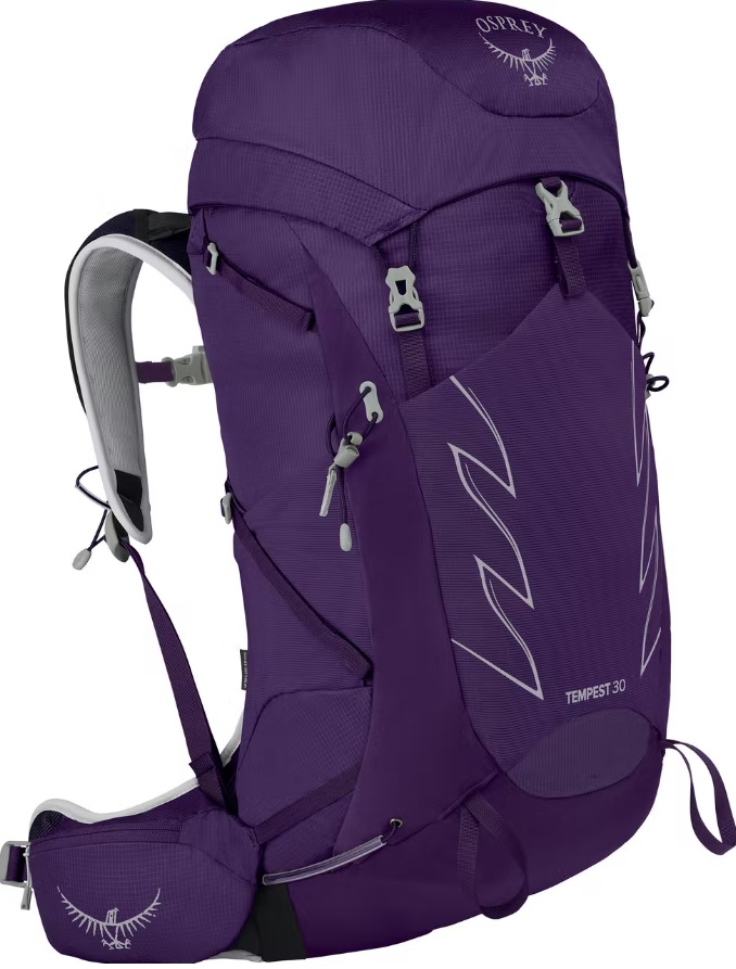
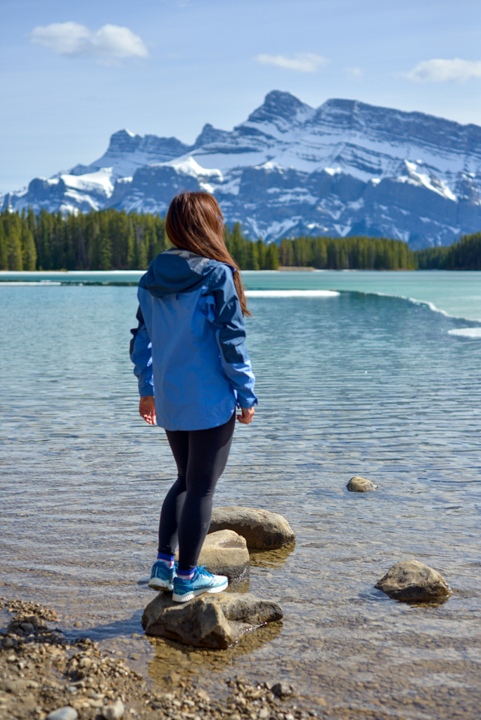
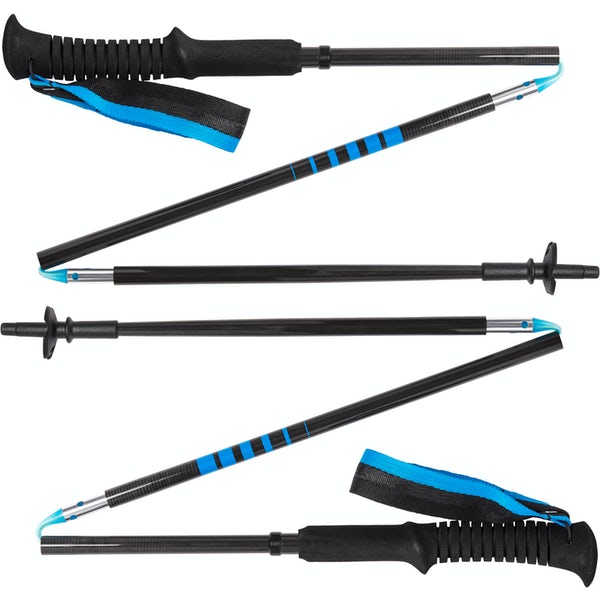
Good hiking boots, a down hoody or fleece, toque, gloves, and windproof/waterproof shell are recommended year round. Trekking poles are useful for long hikes, steep descents, or when you’re carrying a heavy pack. You should also carry The Ten Essentials including: water, extra food, extra clothes, a first aid kit, headlamp, GPS / compass, and map of the area, sunscreen (this mineral sunscreen is fragrance free, paraben free, and reef-friendly), bug spray (this Deet-free one contains 20% icaridin and will repel ticks), and bear spray. Carry bear spray in a Bear Spray Holster or Scat Griz Bear Spray Running Belt.
A Garmin inReach Mini 2 satellite communicator is highly recommended for contacting Search & Rescue and emergency contacts in the event of an emergency, or communicating with friends and family when you are out of cell phone range. You can send text messages and your GPS coordinates via satellite, but a monthly service plan is required!
Where to Stay
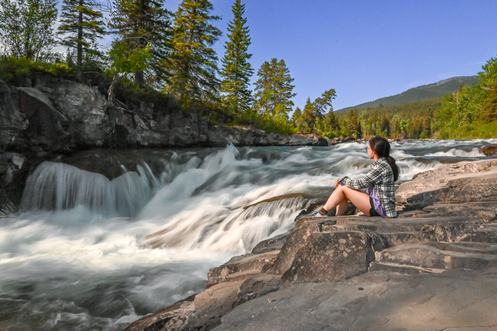
Castle River Bridge (power sites, drinking water) and Castle Falls (rustic, no potable water) are the nearest reservable campgrounds. Lynx Creek, further down Castle Falls Road, has first come first served sites; and there are also affordable ($20/night) Designated Camping Areas suitable for RVs.
For more information, see our story Camping in Castle Provincial Park, or visit Alberta Parks | Camping – Castle Provincial Park.
Related Posts
- Table Mountain Scramble
- Camping in Castle Provincial Park
- A fun weekend at Beauvais Lake Provincial Park


