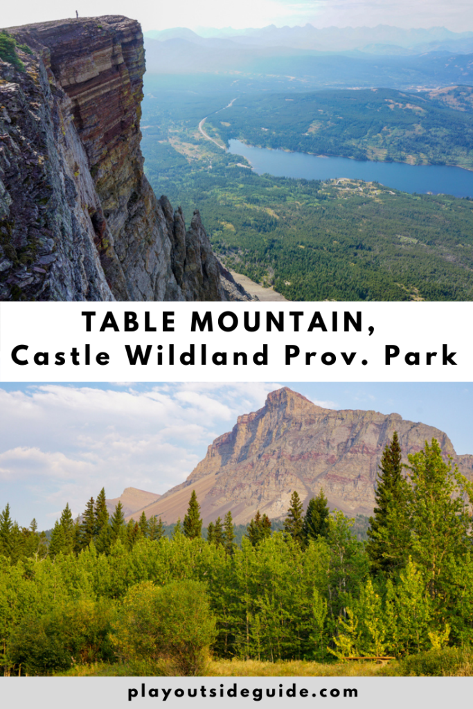
For epic views of Castle Provincial Park and the Castle Wildlands, hike to the top of Table Mountain!
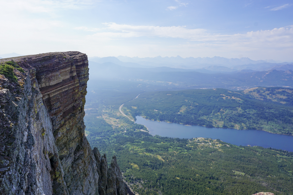
From the top of Table Mountain, it’s easy to see why the Castle Front Range is known as the Prairies to Peaks region! Where mountains end, the prairies extend as far as the eye can see. Looking westward, you have spectacular views of Beaver Mines Lake and the Rockies whether you hike to the ridgetop or true summit.
Table Mountain is a moderately difficult hike with significant elevation gain (832 metres over 4 km) and lots of loose rock. After hiking through the trees, then up a rocky gully, there’s a wee bit of scrambling near the top – occasional need to hold something for balance – but nothing too crazy. If you’ve hiked Ha Ling Peak / Miner’s Peak, East End of Rundle, or Mount St Piran, you’ll have no trouble on Table Mountain.
Get an early start on this hike to beat the heat (there’s no shade on the top half) and crowds. While less busy than hikes in Banff and Kananaskis, this scenic trail has gotten popular since Castle region was designated a provincial park and wildland provincial park in 2017. And if you’d like to explore more of Castle Provincial Park and Castle Wildlands Park, camp at Beaver Mines Lake Campground!
Table of Contents
Why is Castle so special?
Castle Provincial Park & Castle Wildland Provincial Park are part of the Crown of the Continent, home to over 200 rare or at-risk species and the headwaters of the Oldman River basin. These parks are also Alberta’s newest mountain parks! Discover more places to play in Castle in our story: Castle Provincial Park: Your Next Alberta Road Trip.
Table Mountain Route Description
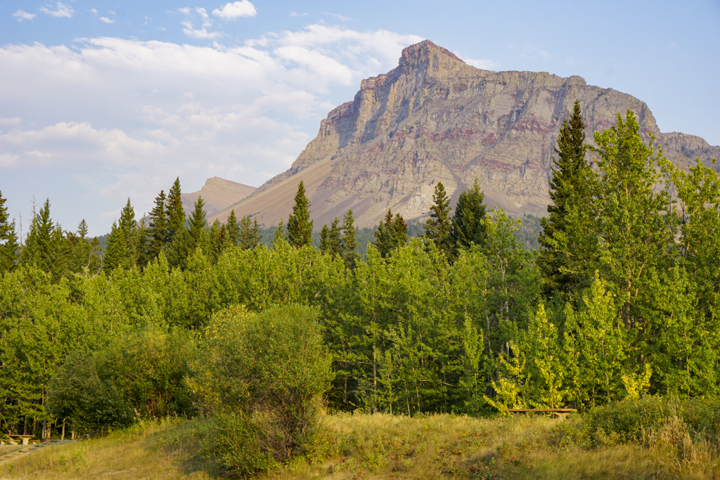
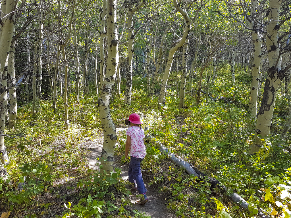
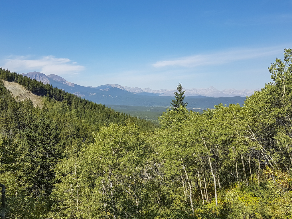
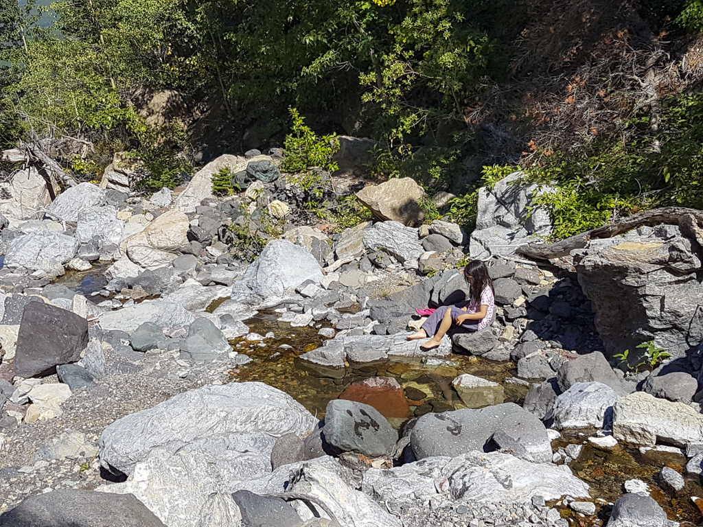
The trail starts out lush and forested, belying the arid slopes above. Hike through aspens and sub-alpine firs to a viewpoint with a bench; a great spot to catch your breath and see how far you’ve climbed (about 1/3 of the way to the top). Continue upward, staying left of the creek. However, if you need water, this is your last chance!
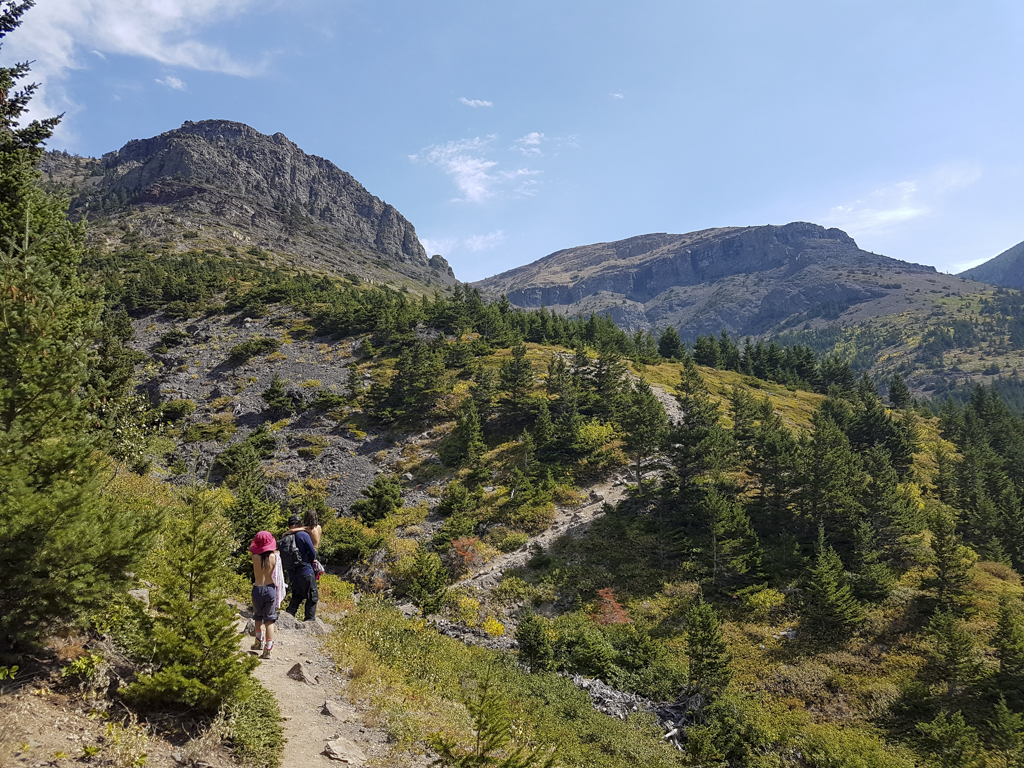
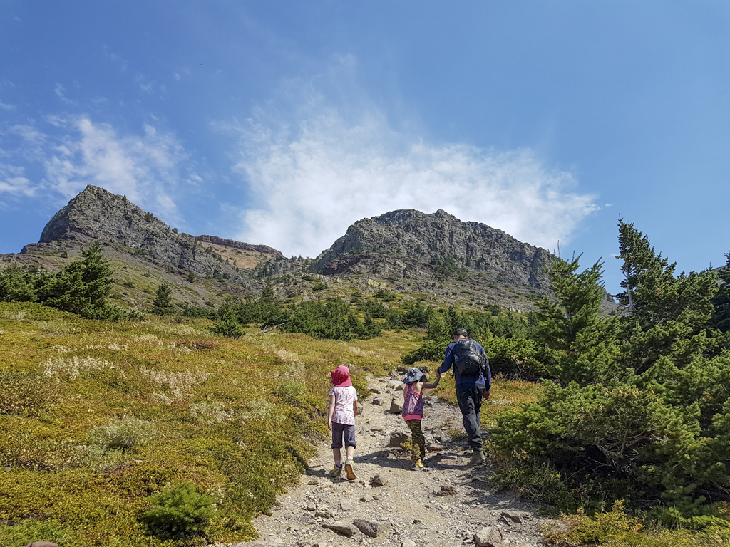
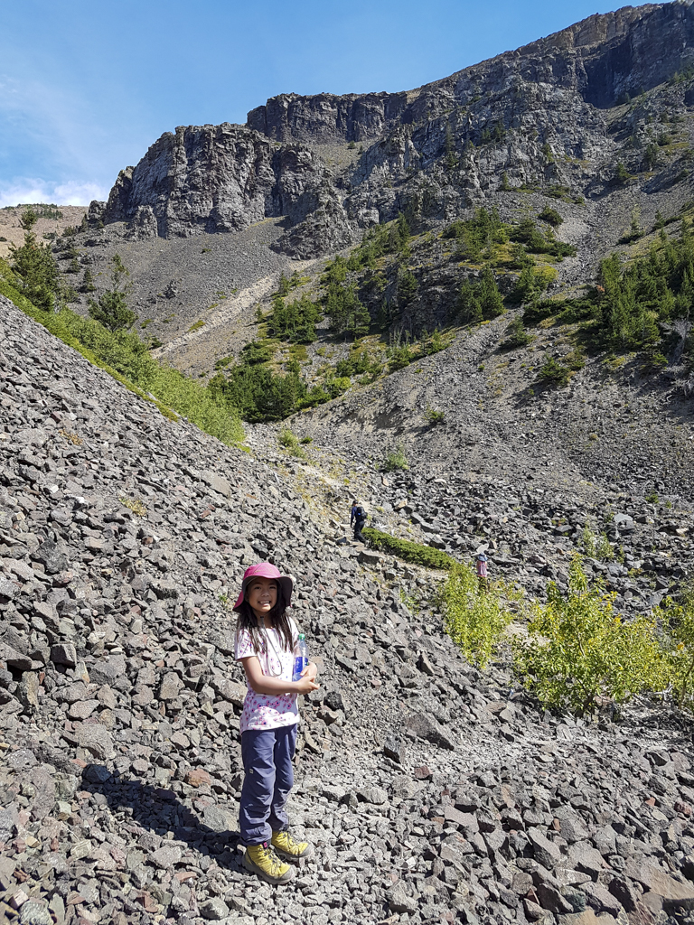
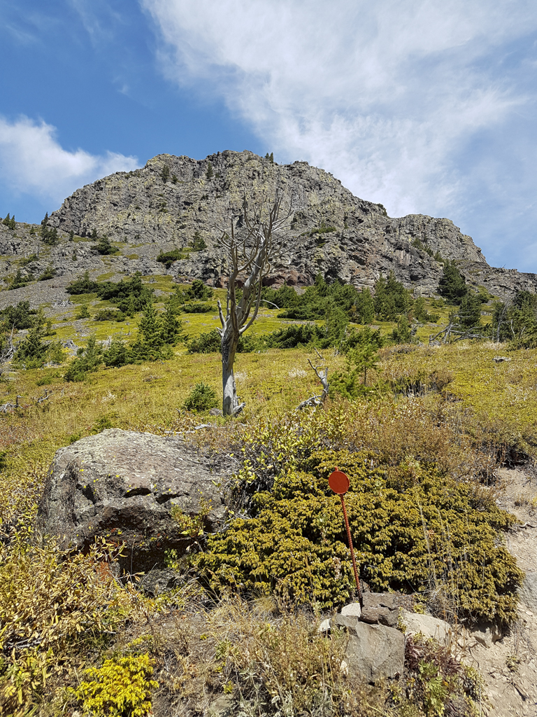
When you come out of the trees, enjoy a short flattish section before following red markers up a gully along the creek (which is usually dry in August). Look for red markers on metal posts, or red circles painted on the rock. At the fork in the path, you can 1) go straight up the scree, or 2) go left to take gentle switchbacks to the ridgetop. We recommend going left on the way up, and taking the vertical scree slope on the way down if you’re comfortable on scree.

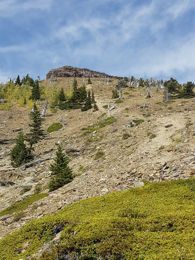
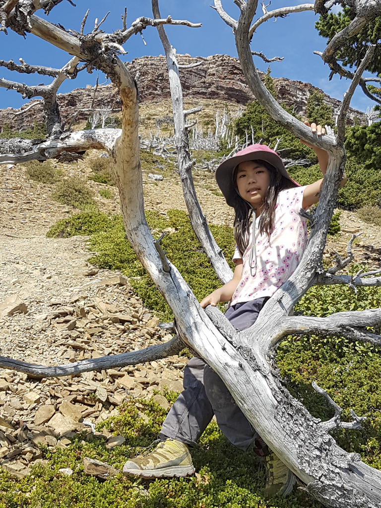
Now that the hard work is out of the way, you can relax and enjoy the views. Just don’t get too close to the edge! The wind is notoriously strong around here (hello, wind turbines!), and a fall here would be fatal.
If you’d like to hike to the true summit, hike across the table-like plateau to the far side of the mountain. There are a couple options: through the trees (nice on a hot or windy day), or through meadows (with some trees near the summit). Choose your own adventure!
Return the way you came, taking care on the scree and chunks of rock that could roll an ankle. If you have trekking poles, they will come in handy on the descent!
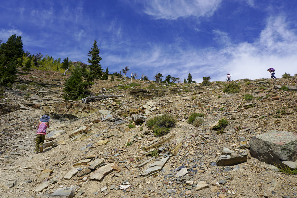
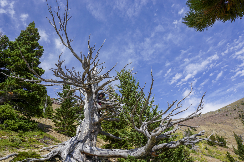
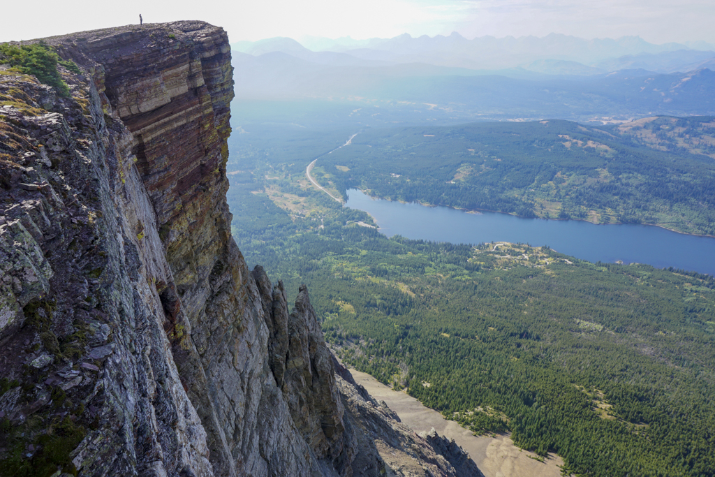
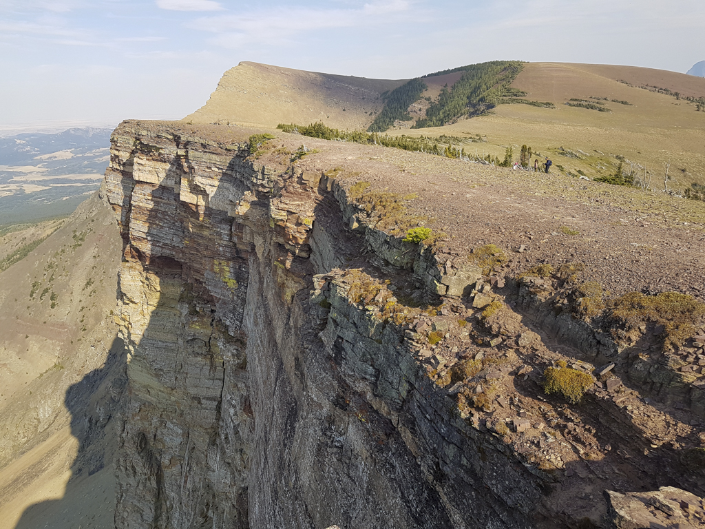
Table Mountain at a Glance
- Distance (one way) & elevation gain: 4 km, 685 m elevation gain to the ridge / 5.5 km one way, 832 m elevation gain to summit
- Difficulty: Strenuous hike with a bit of easy scrambling near the top
- Time: Allow 4-5 hours to complete the hike at a moderate pace.
- Nearest washrooms: Beaver Mines Lake Campground
- Parking & Trailhead: Table Mountain Trailhead, Beaver Mines Lake Campground (click the link for Google Maps directions)
When to Go
Try Table Mountain from Late May to October when the route is free of snow.
What to Bring
Good hiking boots and trekking poles, and a windproof/waterproof shell are must haves on this hike. There’s no shade on the top half of the mountain, so make sure you bring plenty of water! If you have a water filter/tablets/drops, you can refill water at a creek at the half-way point.
Always carry The Ten Essentials including: water, extra food, extra clothes, a headlamp, a GPS/compass and map of the area, bug spray (this one contains 20% icaridin and will repel ticks), sunscreen, and bear spray.
In winter conditions, traction devices such as Kahtoola Microspikes (Available from Amazon, MEC, and Breathe Outdoors), or Hillsound Trail Crampons (Available at Amazon, Hillsound, and Sport Chek) are recommended.
Getting Here
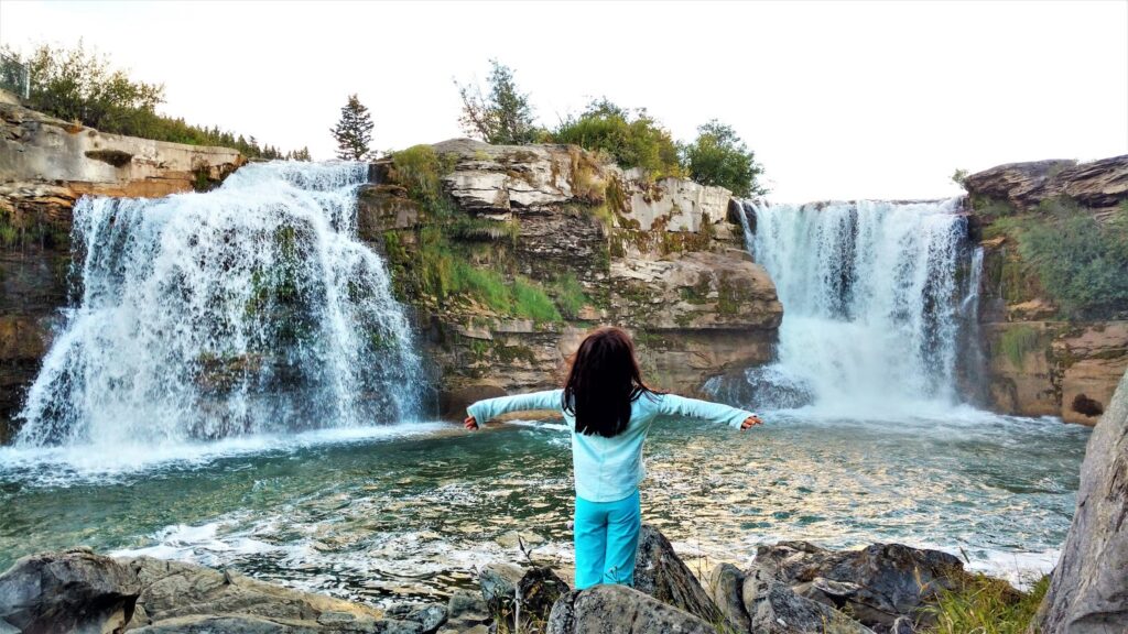
Table Mountain Trailhead (click link for Google Maps Directions) is located 2.5 hours southwest of Calgary at Beaver Mines Lake Campground, Castle Provincial Park. For a fun road trip, drive the Cowboy Trail and stop at:
- Marv’s Classic Soda Shop, Black Diamond
- Turner Valley Spray Park (5 minute detour)
- Longview Jerky Shop
- Longview Steak House (reservations required)
- Lundbreck Falls – 12 metre high waterfalls!
- Old Man River Brewing, Lundbreck for brews and patio dining
- Miner’s Mercantile & Bakery, Beaver Mines for ice cream, baked goods, gas, firewood, and fishing lures
Related Posts
- Camping in Castle Provincial Park
- Family Fun at Castle Mountain’s Huckleberry Festival
- The Best Hikes in Crowsnest Pass
- Why You Should Visit Frank Slide Interpretive Centre
- Camping at Lundbreck Falls, Alberta
- A fun weekend at Beauvais Lake Provincial Park


