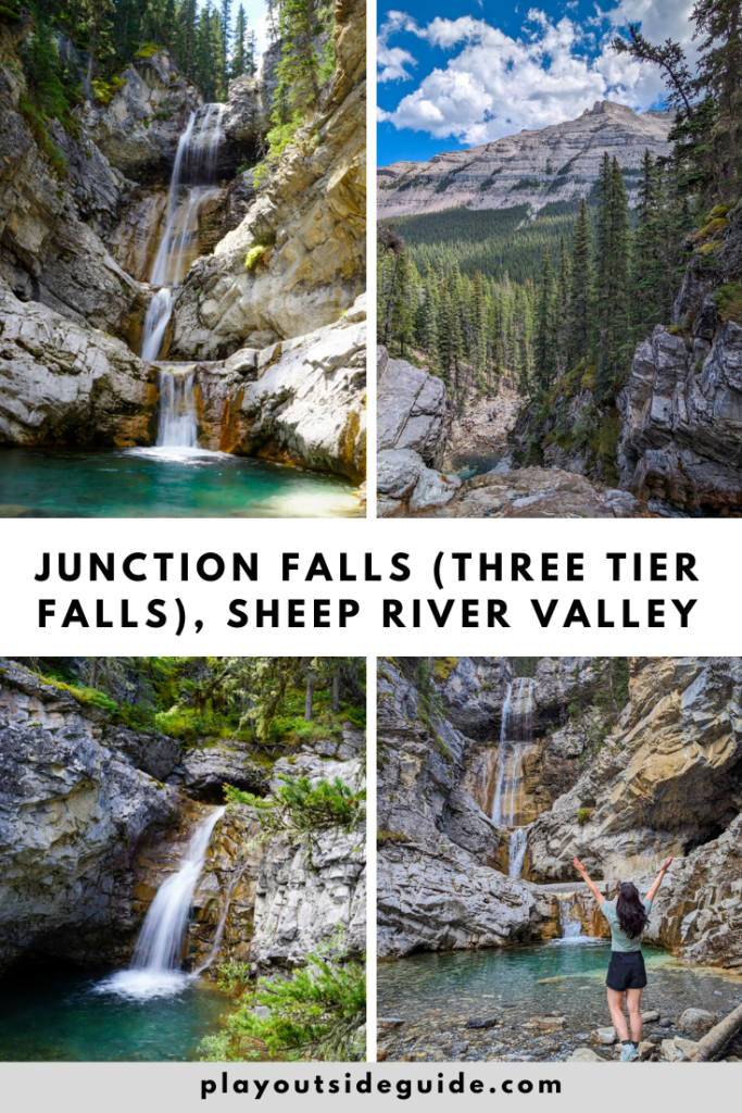
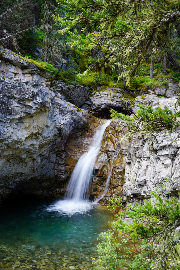
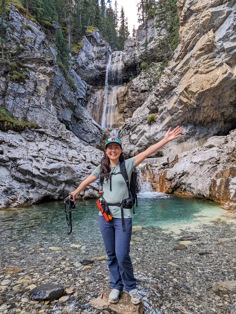
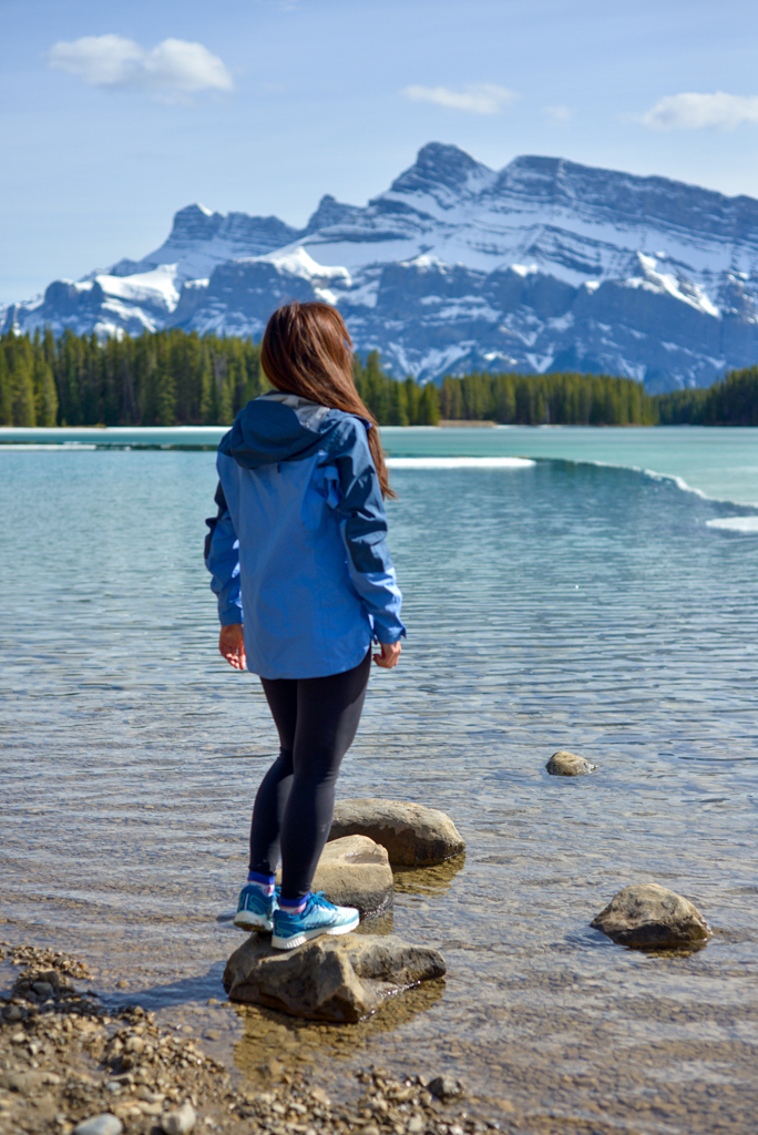
The deep pool at the base of Junction Falls (Three Tier Falls) is a lovely place to cool off on a hot day if you’re prepared to do a river crossing on the way there and back. Save this hike for late summer, for an easier and safer time crossing the Sheep River.
Junction Falls, also known as Three Tier Falls, is a great late summer hike, with deep ice-cold pools to dunk in above and below the falls. Elevation is minimal for the first few kilometres, then increases steadily until you reach the falls. While the unofficial trail has no signage, the route is fairly straightforward if you have a fitness tracker/sports watch/GPS to track your distance.
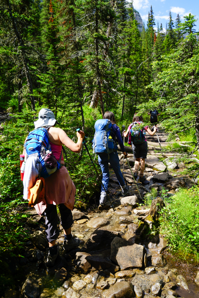
I heard of this trail from fellow hikers on Mount Hoffman a few years ago, and was put off by the river crossing which can be quite challenging and dangerous early in the season. By August, however, the river is usually low enough to cross without difficulty (when we went, at the end of July, the river was only a foot deep), so you will likely share the trail with lots of hikers and horses.
Plan to hike to Junction Falls on a hot day in late summer and bring water shoes for the river crossing (and creek crossing)! Photographers should also bring a tripod and ND filter (Amazon affiliate links) for pretty long exposures of the falls tumbling over the rocks.

Table of Contents
Route Description
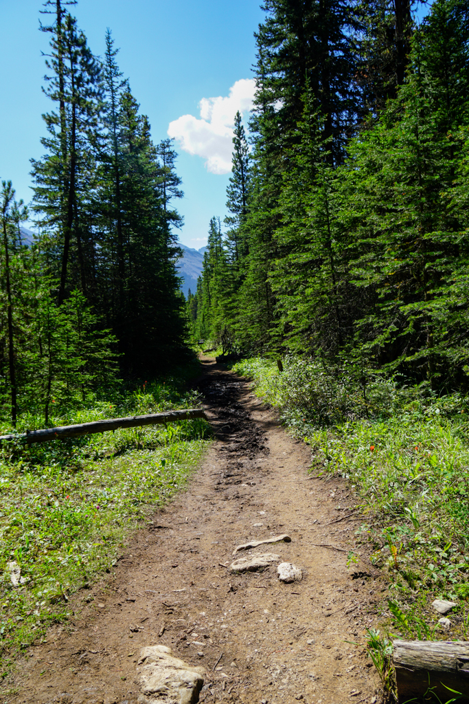
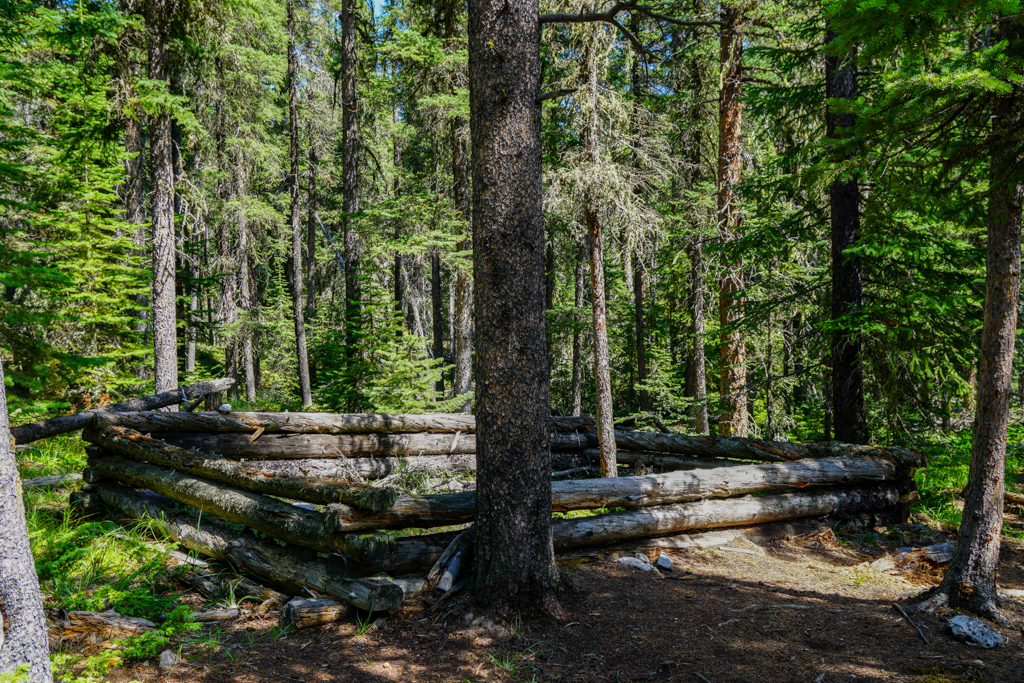
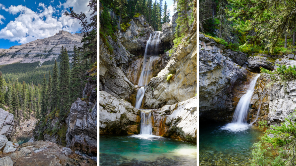
- The trail starts out flat 2. Old cabin 3. Creek crossing 4. Junction Mountain 4. Gaining elevation 5. Small waterfall in Junction Creek (there are several!)
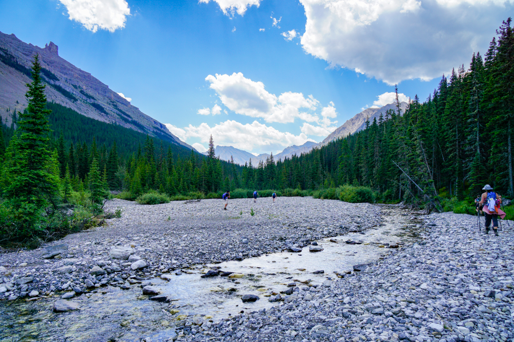
From Junction Creek Parking lot, head down to the river and carefully cross it if it is safe to do so. Tip: The water is a bit shallower about 200 metres upstream (to the right).
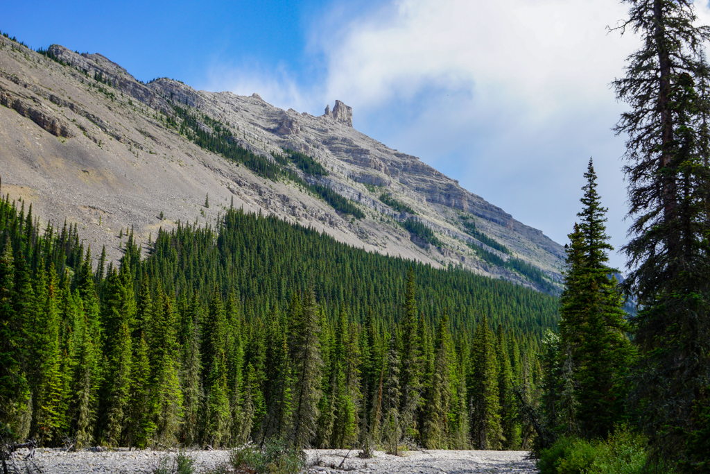
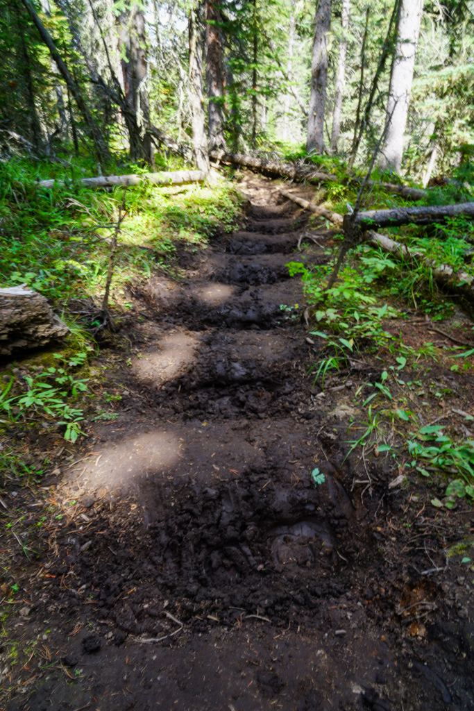
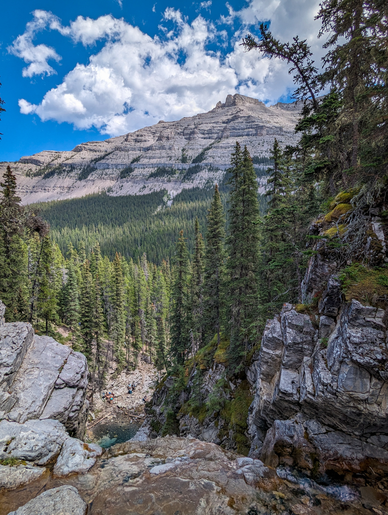
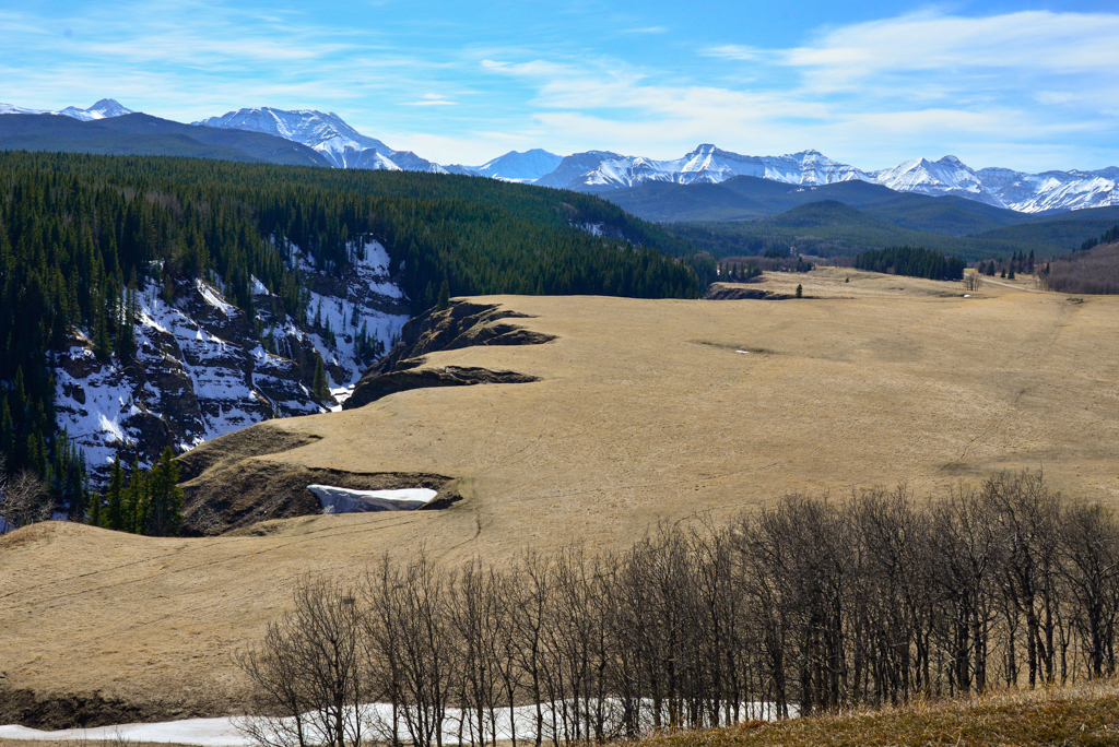
After crossing the river, you will continue south on the old logging road through the trees with occasional views of Junction Mountain and Junction Creek. For the most part, the trail is well shaded, which is welcome during a heat wave! Around the 3 km mark, you’ll come to a meadow, the site of an old sawmill. From here, the trail becomes narrower and rutted. Just watch for horse poop and try not to slip on logs placed in the mud (to prevent you from sinking too deep during the rainy season).
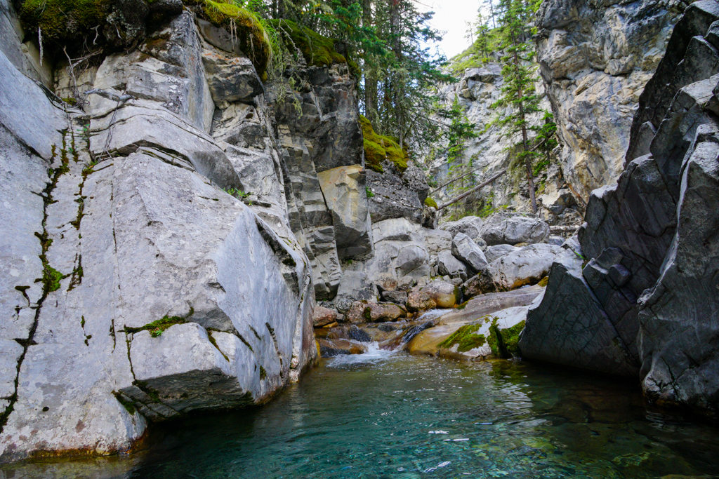
About 1 km later (4 km from trailhead), at a junction, continue straight towards an old cabin and the creek (going to the right takes you to Junction Lake). You’ll have to cross the creek a few times, but the later you go in the season, the better chance you’ll be able to keep your feet dry. At the end of July, “crossing” was more like rock hopping; we never changed our shoes. Since this first bit is so flat, about 120 m elevation gain over 5 km, it goes quickly.
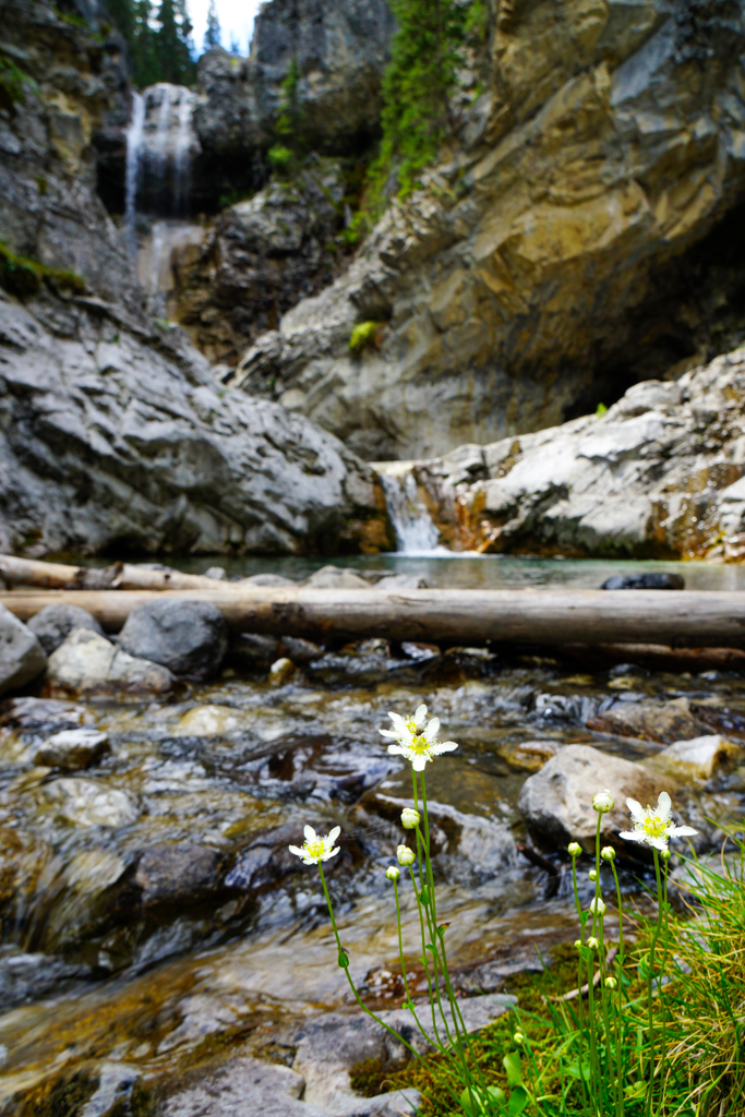
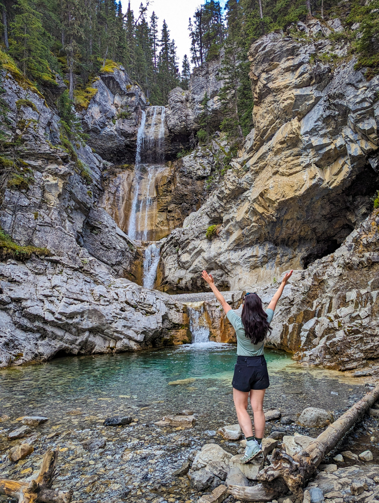
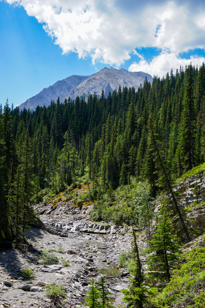
Continue south, keeping to the right side of the creek. About 5 km from the start is where you really start to feel the elevation gain (almost 400 m elevation in less than 2 km). At 6.5 km, head west (right) towards the falls, up a small side canyon. Some parts are pretty steep, but soon enough, you will be cooling off in the icy waters of Junction Falls. When you reach pass an informal camping area with fire rings and log benches, you’re almost there.
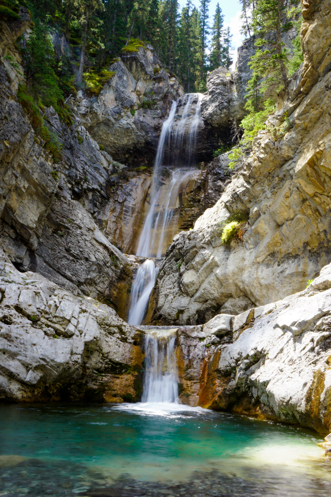
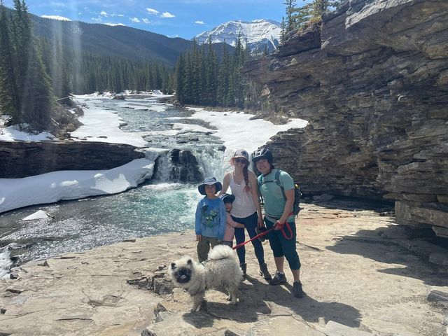
Once you see the Three Tier Falls (Junction Falls) on your left, you can descend to the base of the falls or continue on the trail to the top of the falls. Enjoy the views of Junction Mountain and the falls, and crystal clear (and cold!) water, then return the way you came.

Safety Notes: The pool at the base of the falls is quite deep, so keep kids within arm’s reach! We don’t advise bringing little kids to the top of the falls as there’s a significant drop off. For your safety, stay well back from the edge!
Junction Falls (Three Tier Falls) Trail at a Glance
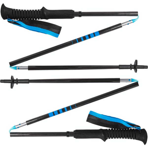
This hike has a river crossing – proceed at your own risk. River crossings are extremely dangerous (risk of slips, falls, and drowning) and should not be attempted when the water is running fast and high. If you choose to hike to Junction Falls, wait until late summer or early fall when water levels are lower. Wear footwear with grippy soles so you don’t slip, and use trekking poles to keep your balance. It can also be helpful to cross as a group holding hands or linking arms. Last but not least, unbuckle your backpack, so in the event the current carries you downstream, you can take your pack off and won’t be weighed down.
- Distance: 6.7 km one way
- Elevation gain: 500 m
- Trail type: Unofficial multi-use trail. Yield to horses and watch for bikes (bikes are supposed to yield to hikers but sometimes they don’t).
- Sports stroller friendly? No due to river crossing, and deeply rutted multi-use trail
- Amenities: Pit toilets and picnic area at trailhead
Know Before You Go
- A Kananaskis Conservation Pass is required to park in Kananaskis. Purchase your pass online from the Government of Alberta.
- You are in bear territory. Review our Bear Safety Tips and keep bear spray accessible.
- Dogs must be kept on a leash.
- Pack out all trash and dog poop.
What to Bring
Disclosure: This section includes affiliate links through which I earn a commission on qualifying purchases at no extra cost to you.
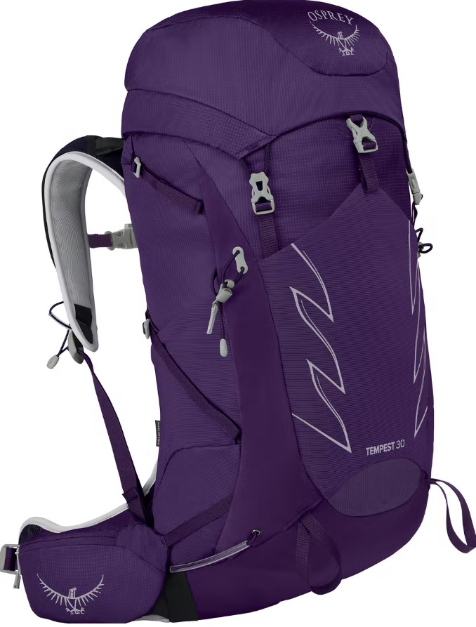
Waterproof mid-height hiking boots, a down hoody or fleece, toque, gloves, and windproof/waterproof shell are recommended year round. Trekking poles are useful for long hikes, steep descents, or when you’re carrying a fully-loaded backpack (or are babywearing). You should also carry The Ten Essentials including: water, extra food, extra clothes, a first aid kit, headlamp, GPS / compass / Garmin inReach Mini 2 satellite communicator* and map of the area, mineral sunscreen, bug spray (this DEET-free insect repellent contains 20% icaridin and will repel ticks), and bear spray. Carry bear spray in a Bear Spray Holster or Scat Griz Bear Spray Running Belt.
*A Garmin inReach Mini 2 satellite communicator is highly recommended for contacting Search & Rescue and emergency contacts in the event of an emergency, or communicating with friends and family when you are out of cell phone range. You can send text messages and your GPS coordinates via satellite, but a monthly service plan is required.
Getting Here
The parking and trailhead for Junction Creek Trail are located at Junction Creek Day Use (Google Maps pin), at the end of Sheep River Road/Highway AB-546 W.
If time allows, check out Sheep River Falls on the way back! It’s a short 500 m round trip walk from the parking lot. Bighorn Lookout also has a short 500 metre interpretive trail worth checking out.
Related Posts
- Biking Sheep River Road to Sheep River Falls
- Mount Hoffman, Bluerock Wildland Provincial Park
- Camping at Indian Graves Campground, South Kananaskis
- Hailstone Butte, South Kananaskis