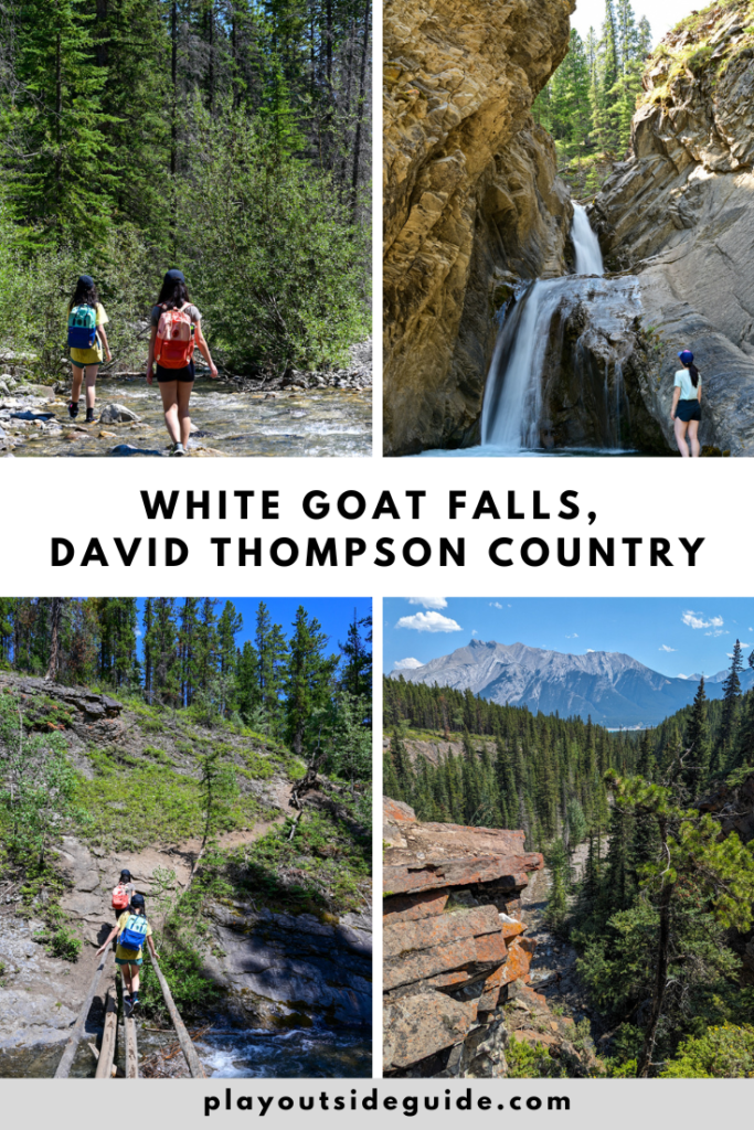
Whitegoat Falls is a lovely two-tier waterfall near Abraham Lake in David Thomson Country. Hike to the falls in only 30-40 minutes!
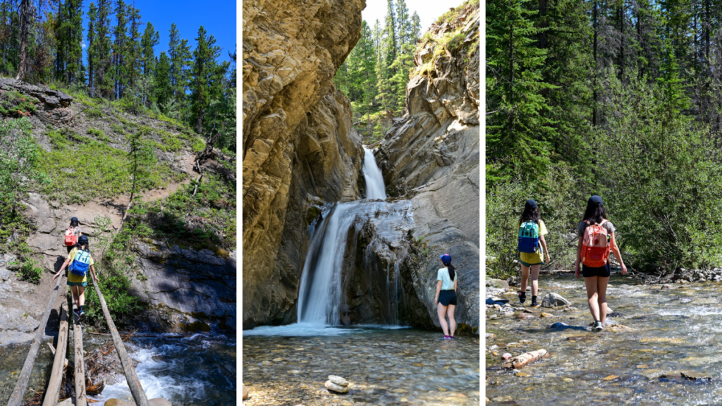
With a mostly tree-covered trail, beautiful waterfall, and creek to cool off in, Whitegoat Falls is the perfect short hike on a hot summer’s day! We enjoyed this hike on a warm, smoky day in July and only saw a handful of people over a couple hours. Note that there is limited signage, so you should read the route description carefully before you head out. Oh, and you should be prepared to get your feet wet!
Table of Contents
Whitegoat Falls at a Glance
- Distance: 3.2 km round trip
- Elevation Gain: 150 m
- Duration: Allow 40 minutes (one way) at a leisurely pace
- Sports stroller friendly? No
- Nearest washrooms? Abraham Slabs and Allstones Day Use Areas
Whitegoat Falls Route Description
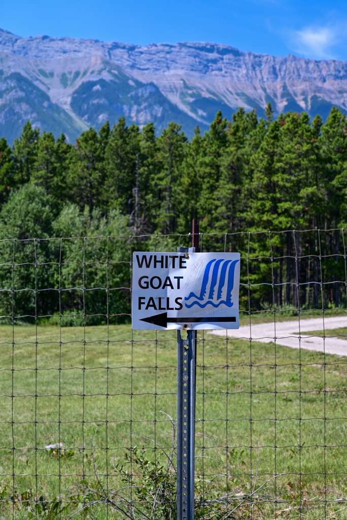
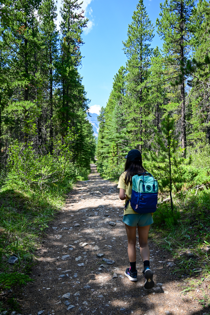
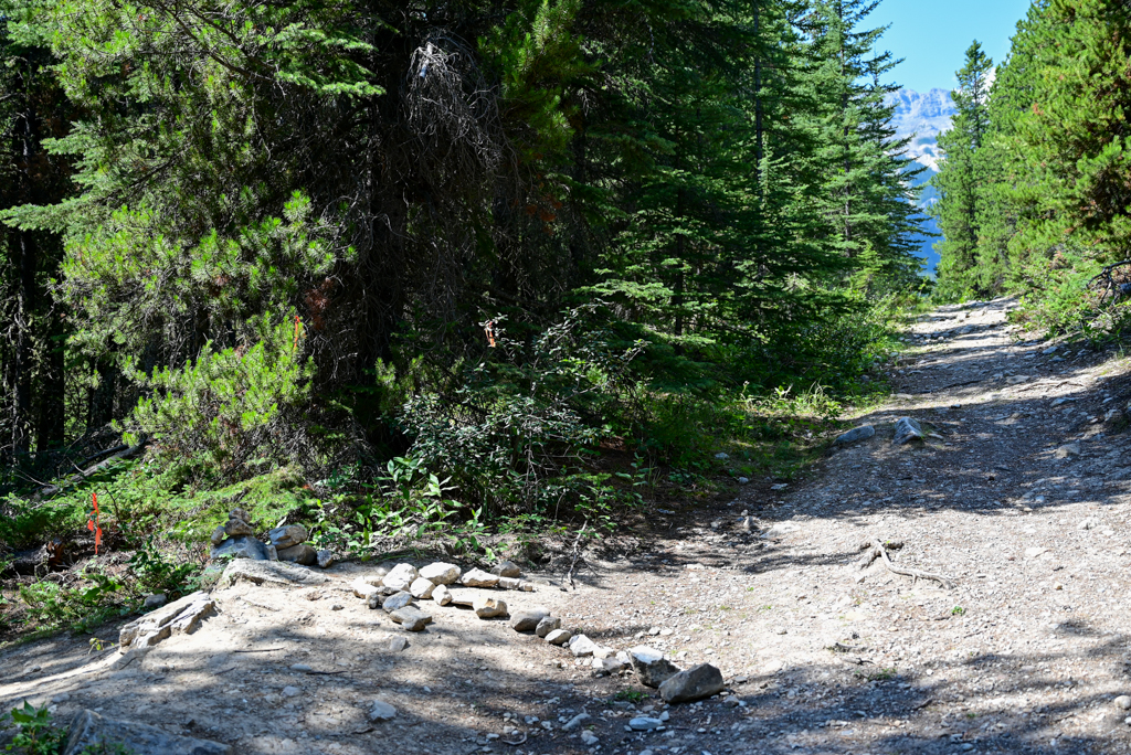
From the Cline Transfer Station, follow the trail around the dump site and head uphill through lodgepole pines. It’s steep – you’ll gain 80 metres in elevation over 800 metres – but it’s short. About 900 metres from the parking lot, you’ll see a rock arrow on the ground (see photo above) pointing to a smaller trail. Turn left here.
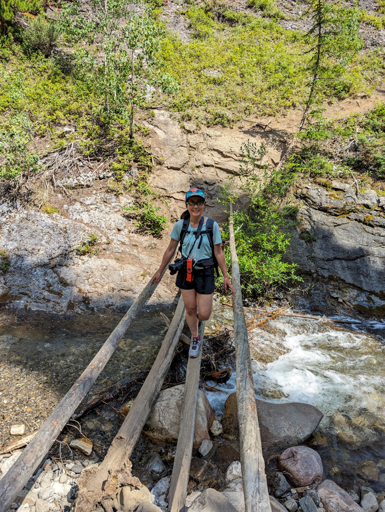
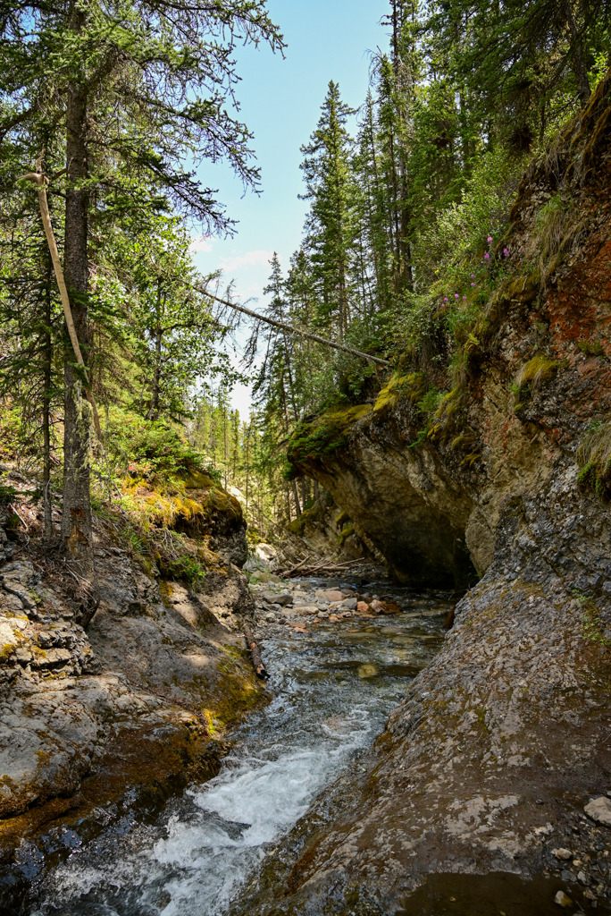
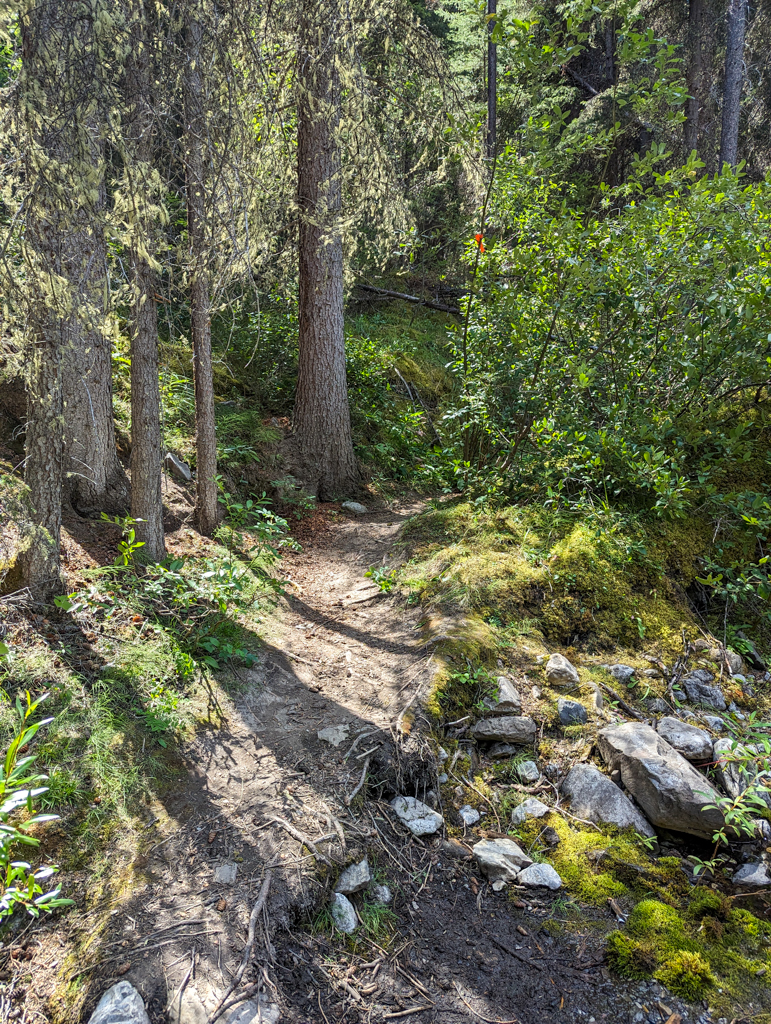
You will now begin your descent into the canyon. After 300 metres, turn right at a very small rock cairn and continue downhill towards the water (you’ll hear it before you see it). Cross the makeshift log bridge and look for a small trail directly across from the bridge. This trail allows you to head upstream (to the right) without climbing over deadfall.
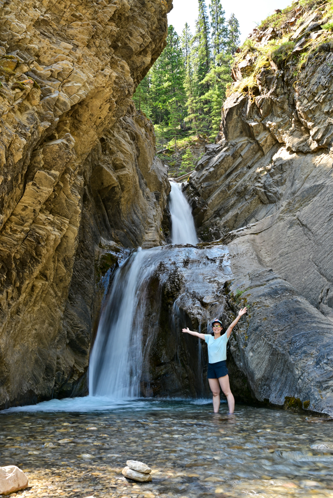
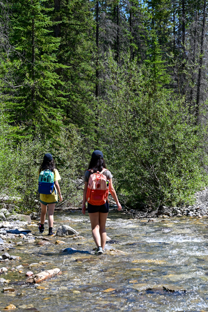
A couple creek crossings are required over the next 400 metres, but you can’t miss the end of the trail: beautiful two-tiered Whitegoat Falls! Cool off in the water, refill water bottles if you brought a water filter, and return the way you came.
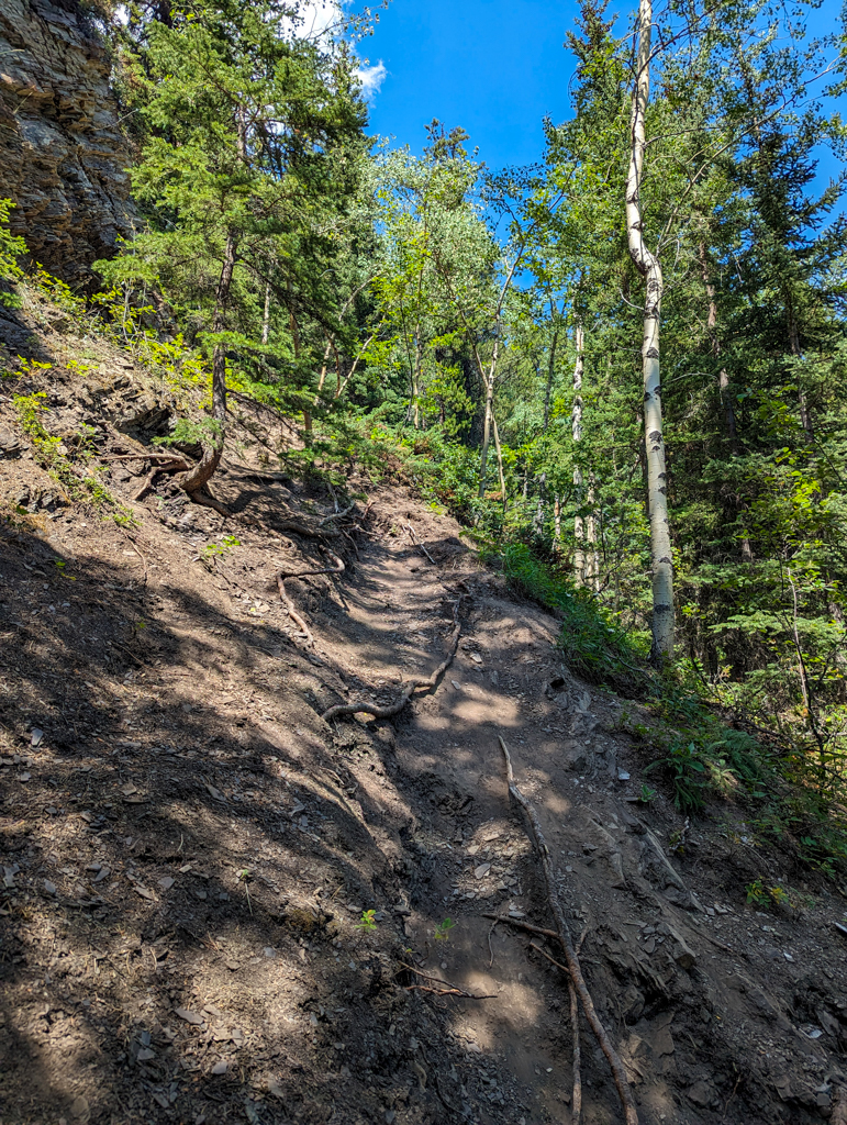
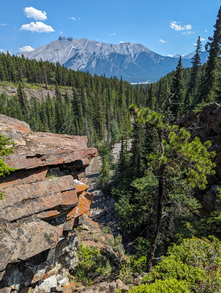
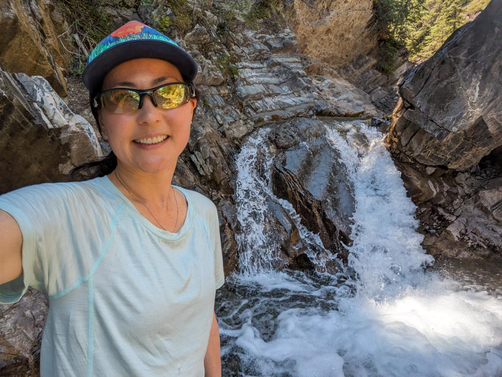
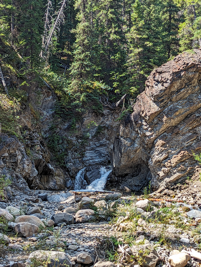
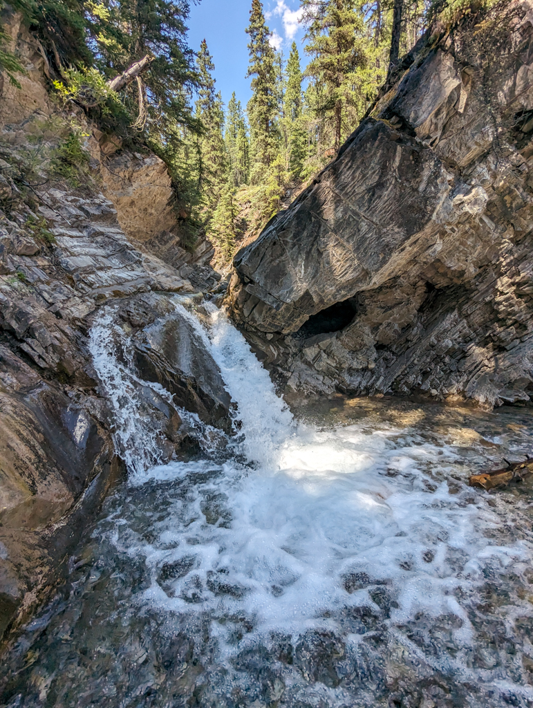
Going further: It’s possible to climb a super steep dirt trail to the right of the falls to reach the little (5 feet tall) upper falls. Go up the hill and then make your way left along the canyon’s edge, then descend to the creekbed where it’s safe to do so.
Warning: There’s exposure along the canyon’s edge, so I don’t recommend taking little kids to the upper falls.
Know Before You Go
You will get your feet wet on creek crossings! Wear or bring water shoes, hiking sandals, or other footwear you don’t mind getting wet.
There is no cell service in this part of David Thompson Country. Please read the route description carefully so you don’t get lost, and carry The Ten Essentials.
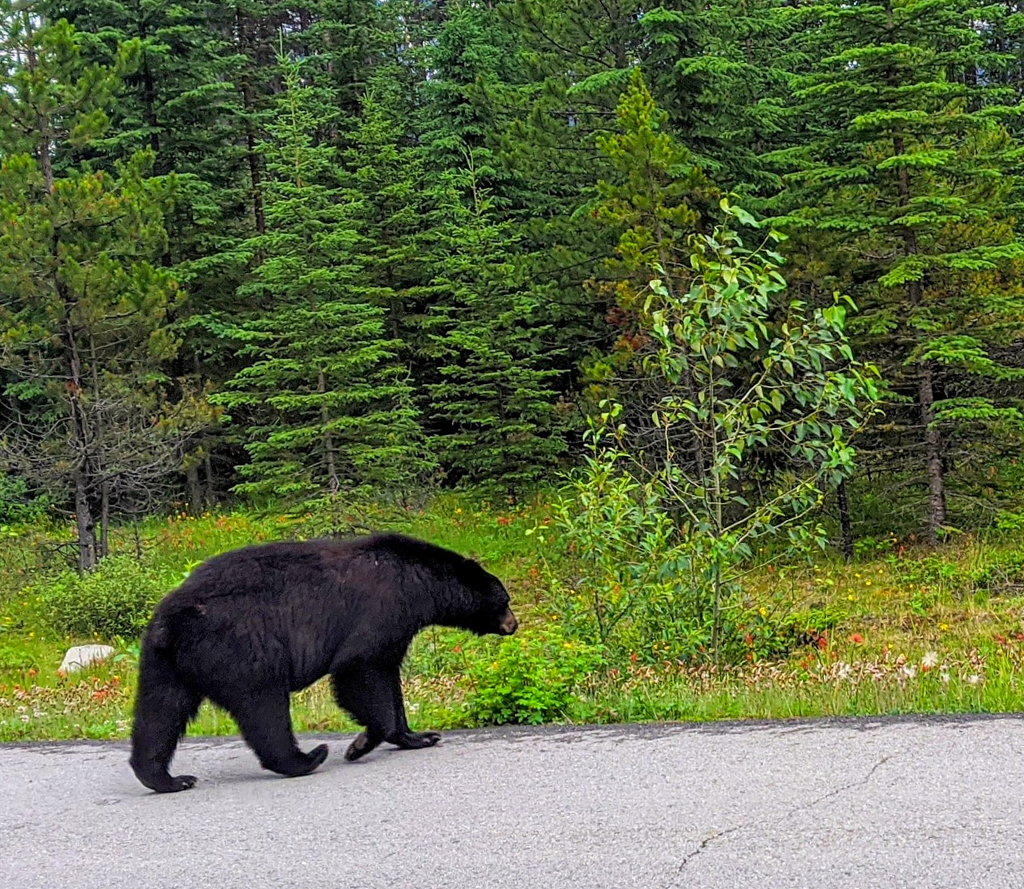
You are in bear country! Each adult in your hiking group should carry bear spray and know how to use it. You can reduce the chance of surprising a bear by hiking in a group and making noise often, especially near the creek where a bear may not hear you coming otherwise. It’s also advised you keep your dog on a leash for its safety and yours. Read our Bear Safety Tips for more info.
What to Bring
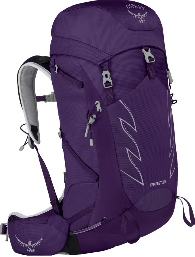
Disclosure: This section includes affiliate links through which I earn a commission on qualifying purchases at no extra cost to you.
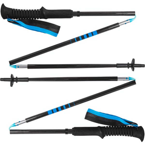
Waterproof mid-height hiking boots, a down hoody or fleece, toque, gloves, and windproof/waterproof shell are recommended year round. Trekking poles are useful for long hikes, steep descents, or when you’re carrying a fully-loaded backpack (or are babywearing). You should also carry The Ten Essentials including: water, extra food, extra clothes, a first aid kit, headlamp, GPS / compass / Garmin inReach Mini 2 satellite communicator* and map of the area, mineral sunscreen, bug spray (this DEET-free insect repellent contains 20% icaridin and will repel ticks), and bear spray. Carry bear spray in a Bear Spray Holster or Scat Griz Bear Spray Running Belt.
*A Garmin inReach Mini 2 satellite communicator is highly recommended for contacting Search & Rescue and emergency contacts in the event of an emergency, or communicating with friends and family when you are out of cell phone range. You can send text messages and your GPS coordinates via satellite, but a monthly service plan is required.
Where to Stay
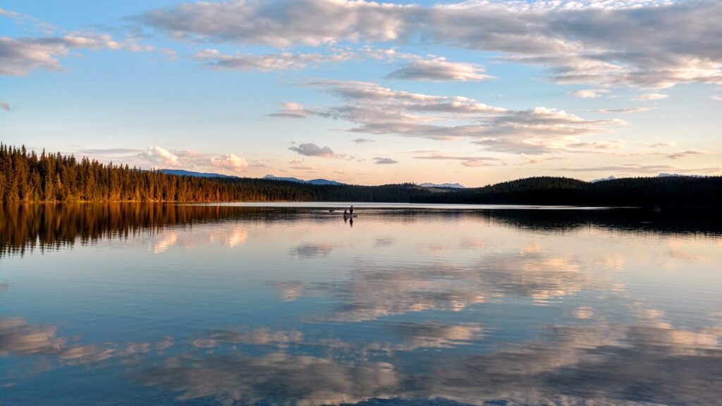
There are several Alberta Parks campgrounds in David Thompson Country. The closest first come first served campground is Two O’Clock Creek, and the closest reservable campground is at Fish Lake. There are also “random camping” areas (Public Lands Camping Pass required) at Abraham Slabs and Preacher’s Point. For more information, see our story Camping and Hiking in David Thompson Country.
Cabins and hotels near Nordegg include: Expanse Cottages, Cheechacko Cabins, Goldeye Centre, and David Thompson Resort (Expedia affiliate link).
Getting Here
The Whitegoat Falls trailhead is located at Cline Transfer Station, on the west side of Highway 11. Use the Vision Quest Google Maps pin for directions. If driving from Calgary, you can take Highway 2, 22 (Cowboy Trail) or Highway 1 and 93N (Icefields Parkway) to Highway 11. If driving through Banff on the Icefields Parkway, a Parks Canada Discovery Pass / daily admission fee is required.
Related Posts
- Where to Find Ice Bubbles at Abraham Lake
- Where to Hike & Camp in David Thompson Country
- Siffleur Falls Trail, David Thompson Country
- Allstones Creek Trail, David Thompson Country
- The Best Stops on the Icefields Parkway
- Exploring the Cowboy Trail
- Discover Rocky Mountain House National Historic Site


