Jumpingpound Summit Trail (6.5 kilometres round trip) offers spectacular views with very little effort.
Getting Here
Jumpingpound Summit is an easy and scenic summit to cross off the list if you don’t mind the long and bumpy drive. The road to the trailhead is narrow, winding and potholed. Signs warn: “unmaintained road”, “dangerous conditions when wet” and “logging activity ahead”. Heading south on Powderface Trail, there are many sections with a big drop-off on the right – and no barricades – so take your time and watch for oncoming vehicles.
Around the 16 kilometre mark, slow down so you don’t miss the unmarked parking area. The first time we attempted this hike, we blew past the parking, and ended up at the end of the road, at the western trailhead for Powderface Ridge. The silver lining is that we discovered Sunrise Hill, one of our favorite short hikes.
Route Description
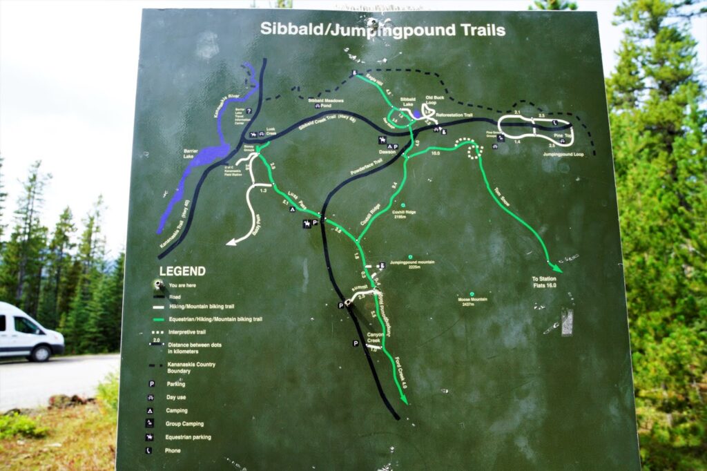
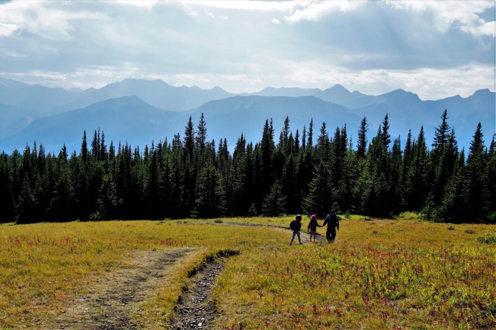
The trailhead is located across the road from the parking area (look for the green map). Follow the gently graded forest trail for 2.5 kilometres, then turn left at the junction. After 400 metres, head up the ridge on the right. From here, it only takes a few minutes to reach the top.

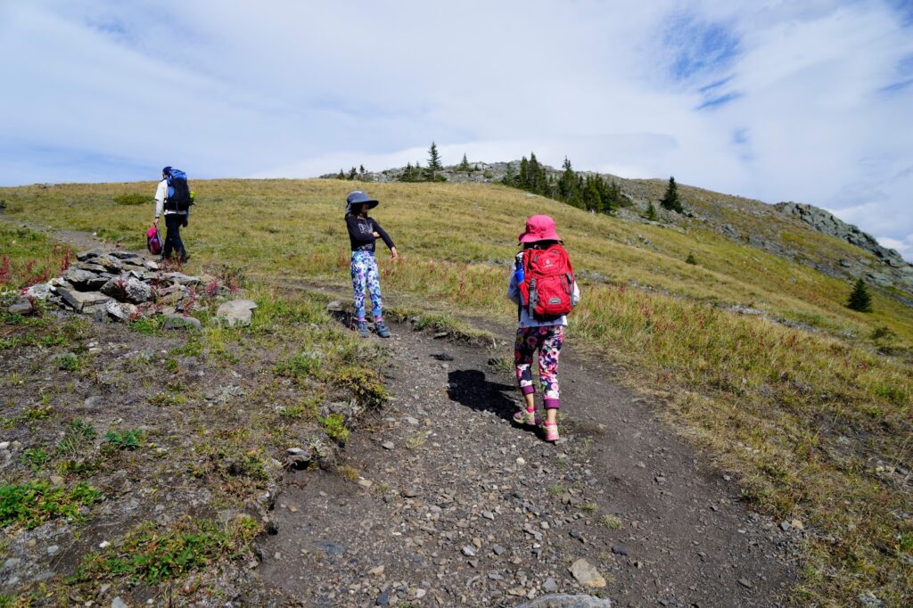
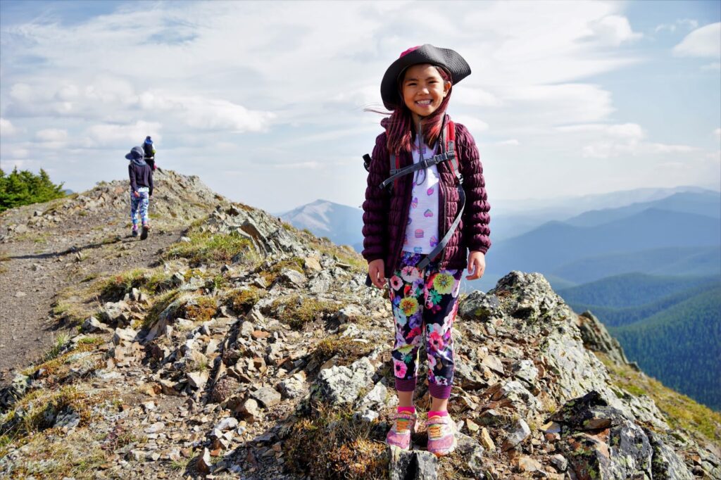
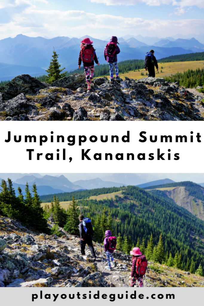
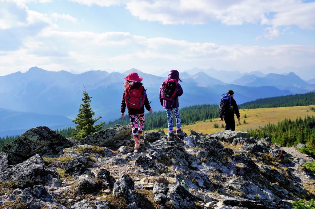
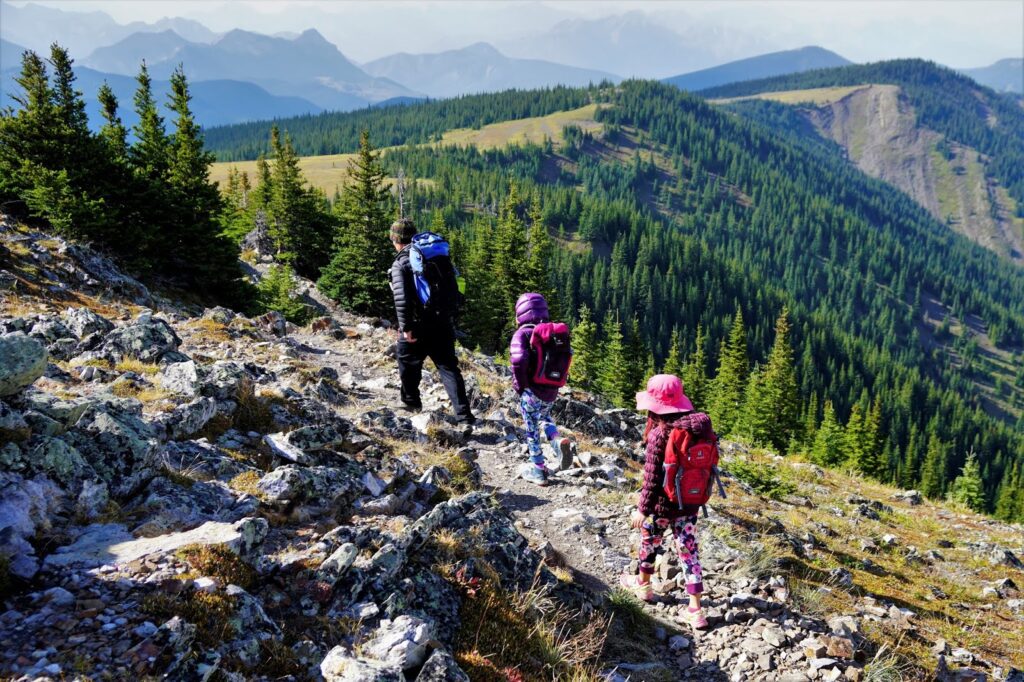
The views are amazing, especially given how easy the hike is! Look north to Cox Hill, east to Moose Mountain, west to the jagged Fisher Range, and south to countless peaks in Kananaskis. Enjoy the scenery, then return the way you came.
Jumpingpound Summit At a Glance
Distance: 6.5 km round trip (Going further: Possible extensions include Jumpingpound Ridge and Coxhill Ridge)
Elevation Gain: 330 m
Elevation: 2,225 metres
Nearest Washrooms: Dawson Equestrian Campground
Stroller Friendly? No.
Best time to go: July when the expansive alpine meadows are full of wildflowers
Distance from Calgary: 87 km. Allow 1.5 hours as the gravel road is narrow, winding, and bumpy.
Directions from Calgary: Take Hwy 1 west. Take exit 143 for AB-68 S toward Sibbald Creek Trail. Turn left at the stop sign and continue on AB-68 for 23.1 km. Turn left onto Powderface Trail and continue for 16.6 km (approximately 40 minutes). Note: POWDERFACE TRAIL IS TREACHEROUS IN WET/SNOWY/ICY CONDITIONS. This road is closed from December 1 – May 14 each year.
Parking: The parking area is NOT marked. Look for a gravel pull-out about half a kilometre past the 16th kilometre marker if headed south on Powderface Trail.
Trailhead: The trailhead is across the road from the parking area and has a map of Sibbald / Jumpingpound Trails.

Know Before You Go
A Kananaskis Conservation Pass is required to park in Kananaskis. Purchase your pass online at https://www.alberta.ca/kananaskis-conservation-pass.aspx.
What to Bring
Disclosure: This section includes affiliate links through which I may earn a small commission at no extra cost to you. Thank you for supporting our small family business!
Good hiking boots and a windproof/waterproof shell are must-haves. Trekking poles are recommended (your knees will thank you when you’re older).
You should also carry The Ten Essentials including: water, extra food, extra clothes, a headlamp, a GPS/compass and map of the area, bug spray (this one contains 20% icaridin and will repel ticks), sunscreen (this one is safe for babies), and bear spray.